|
|
Trip Report |
|---|---|
|
|
39.10330°N / 107.1502°W |
|
|
Jul 1, 2018 |
|
|
Summer |
Overview
The 12610 ft (3844 m) Mt. Daly rises 4700 vertical feet above the town of Marble in the Elk Mountains of Colorado (not to be confused with the other nearby 13300 ft Mt. Daly). A trail starts in the town of Marble and goes to an 11900 ft saddle to the north of Mt. Daly. I was hoping to reach the summit of Mt. Daly from the saddle but the slippery rocky slopes proved to be too tedious and time consuming so I turned around at an elevation of 12300 ft just below the summit.
2018 was a drought year. The earth appeared very dry and there was little snow on the mountains although the slopes still appeared lush with flowers.
Trip Report
12 miles roundtrip with 4600 ft of uphill (counting the trail’s ups and downs).
Left the vacation rental house at 5:30 a.m. and drove 6 miles to the town of Marble. Parked on the street in front of Beaver Lake Lodge. I had been to that spot the previous day and had found out that the trailhead was indeed in that area although it had looked as if I would have had to walk into somebody’s backyard. Elevation was 7950 ft and temperature 38 degrees F. Started my hike at 5:50 when official sunrise was but I remained in the shade until 7:30 or so Hiked north to the end of the street going by a house where a beat up old car parked in front of the house had blocked the view of trailhead. Once on the trail, signs identified it as Carbonate Creek Trail. The trail crossed a couple of dirt streets and then began to go up the slopes to the north of town giving me good views to the south. I did not take any pictures until the sun rose later.
The trail made a few switchbacks among bushes and trees to reach a dirt road that went among private homes at an elevation of 8440 ft after 0.8 miles. I had thought of parking there and saving myself 500 feet of vertical but there was no official parking area and I had just not felt comfortable leaving the car in that spot.
After a short hike on the road, the trail separated from the road and made a few more switchbacks far above the creek to reach the road again at 8700 ft. Hiking to the end of the road, the trail went into a forest and crossed the creek after 1.8 miles from trailhead at 8850 ft. A sign said that up to that point, the trail had been easement over private property.
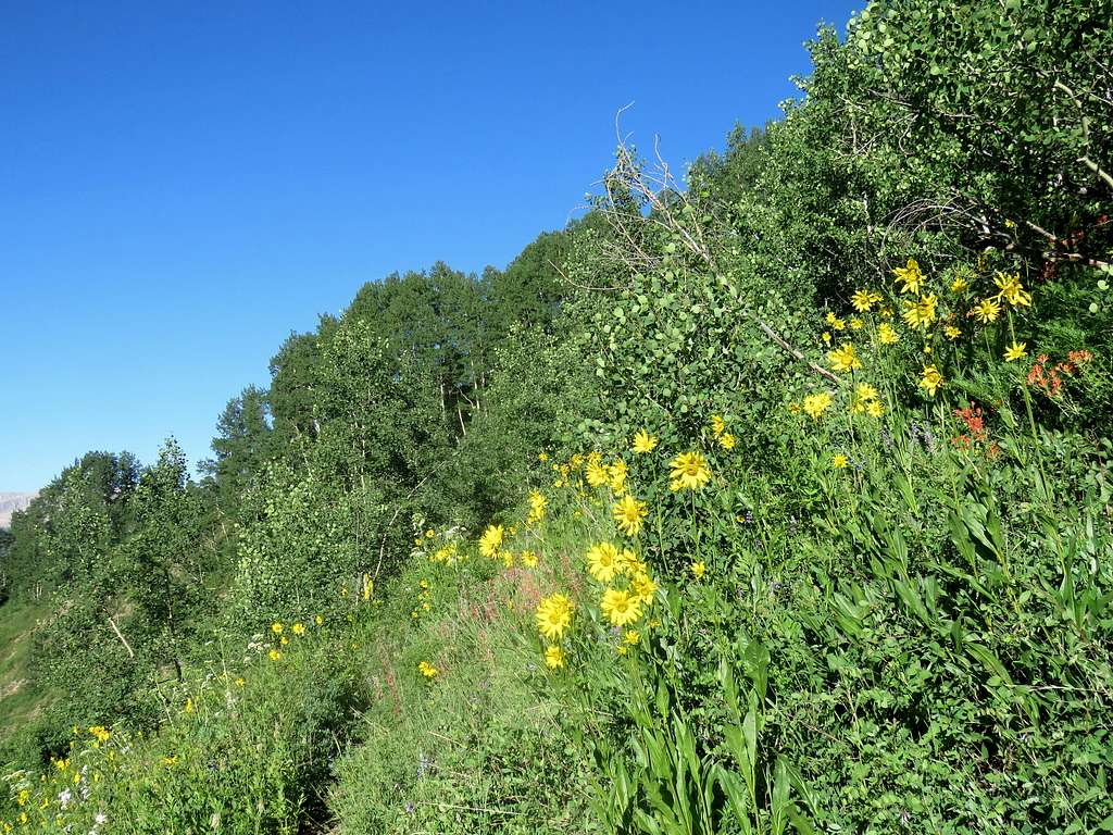
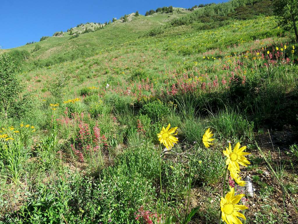
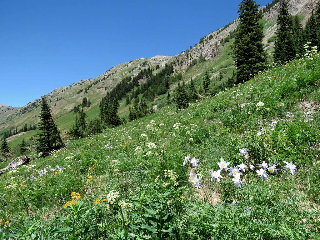
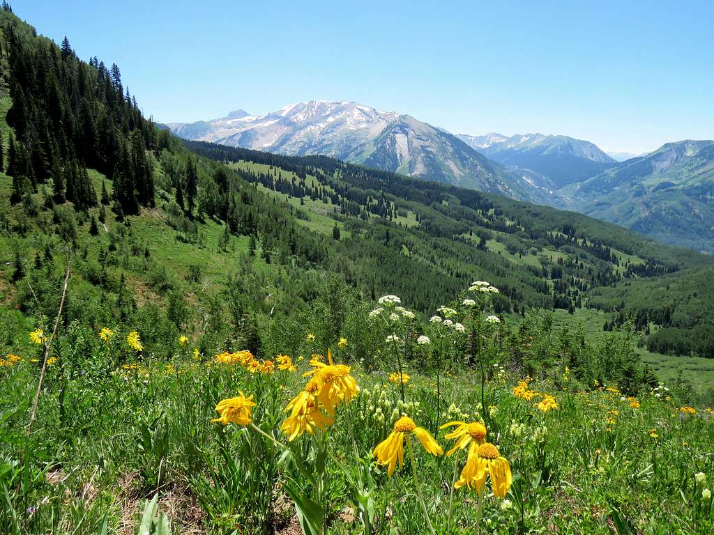
Beyond the stream, the trail went into an Aspen forest and began to go up pretty steeply. At around 9850 ft, the forest ended and a beautiful slope covered with wild flowers opened up. The sun finally rose on me. I could then look south to see Treasure Mountain, The Ragged Mountains and the nameless 12ers rising on the south side of Yule Creek drainage.
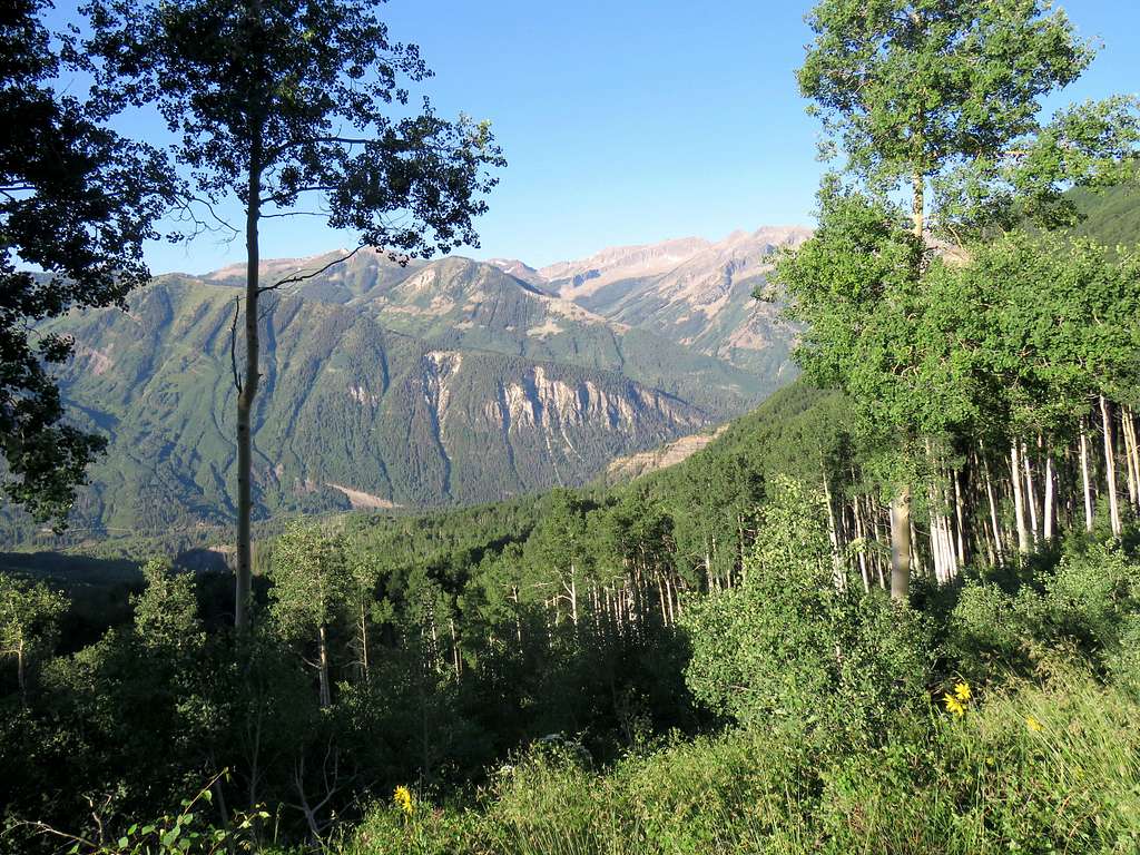
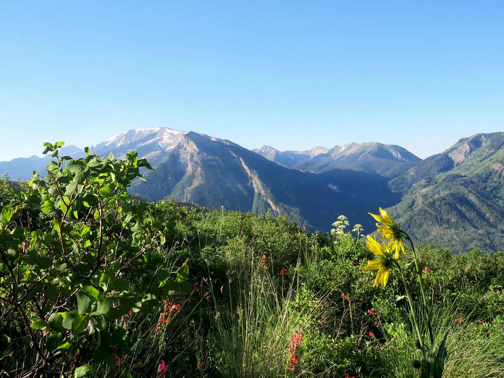
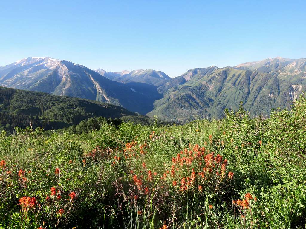
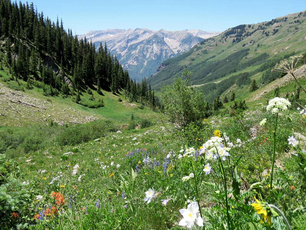
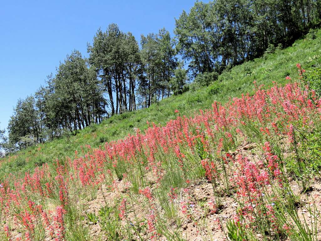
The earth was bone dry from the drought but I was glad to see flowers and lush green grasses everywhere as in ordinary years.
Farther up the meadow.
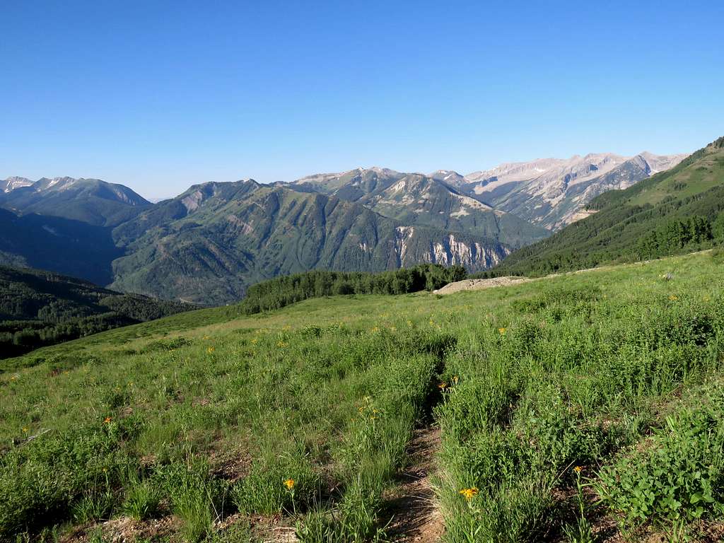
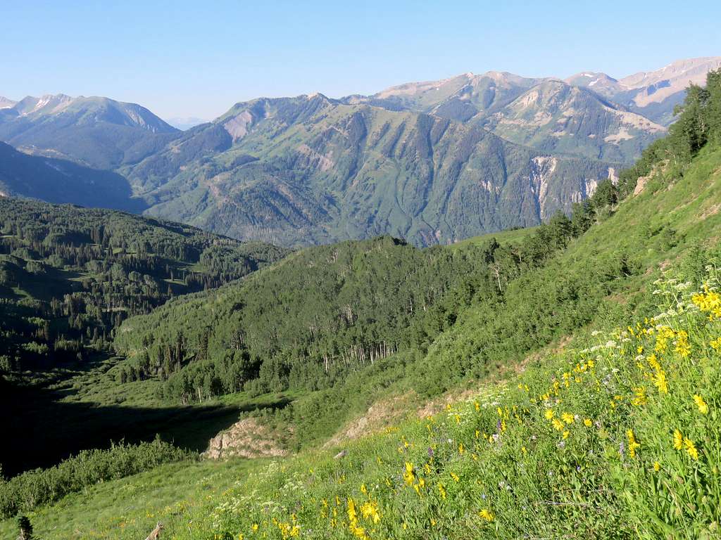
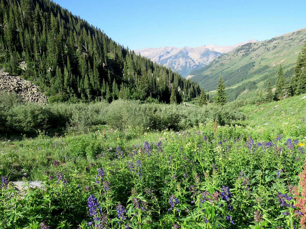
Above the meadow, the trail went in and out of patches of forest. There were a few needless sections of downhill. The valley slowly turned east. The northern slopes of some of the sub-peaks of Mt. Daly came to view. They looked nasty. I was hoping that the main summit would be more pleasant to climb. It was 8:30 and I was still in the mid 10000 ft elevation range. Had a long way to go.
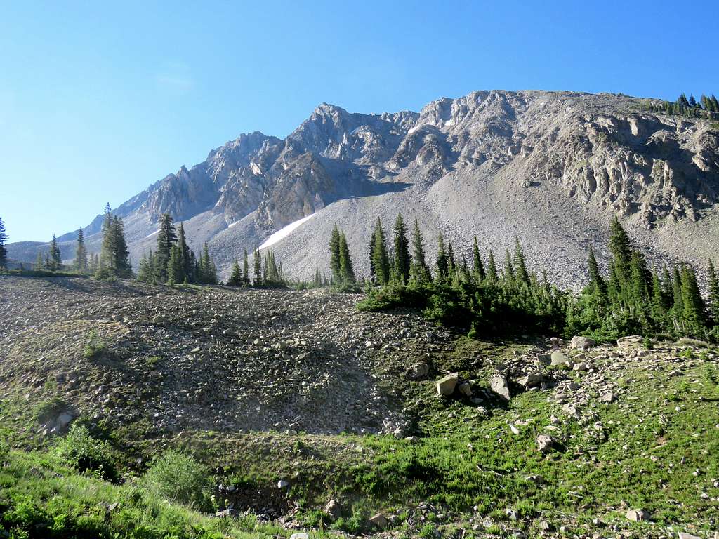
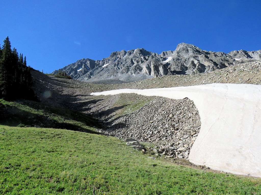
Higher up the beautiful green valley, a series of 12000 ft high points rose to the north. The 11826 ft Elk Mountain could also be seen to the far west.
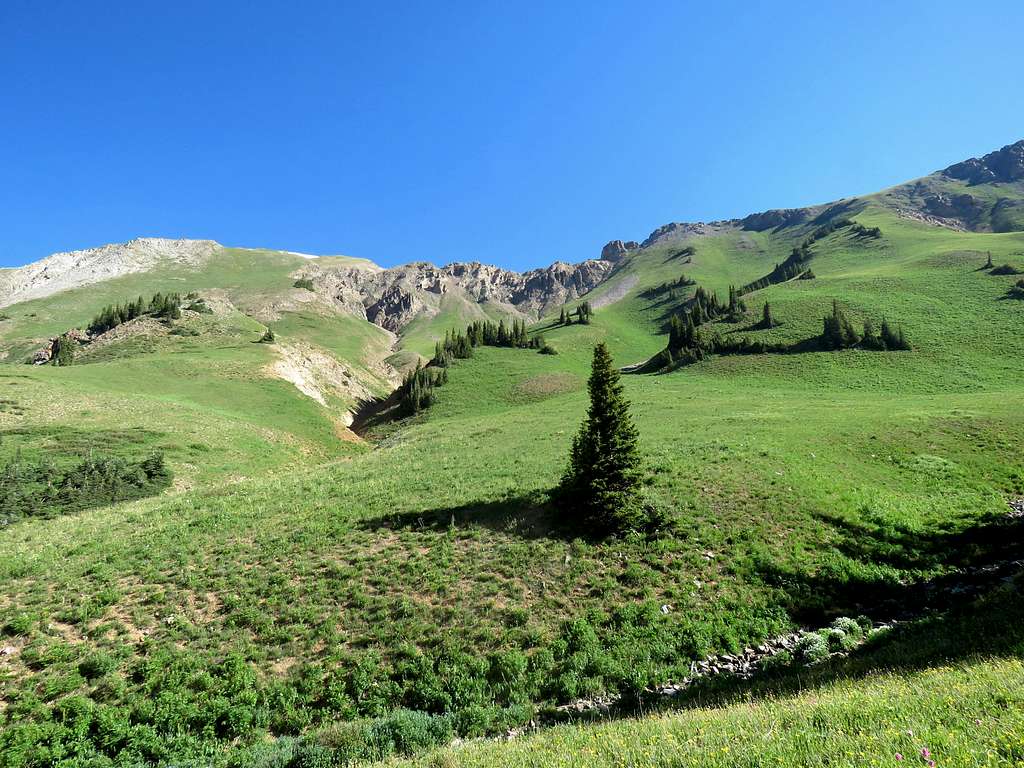
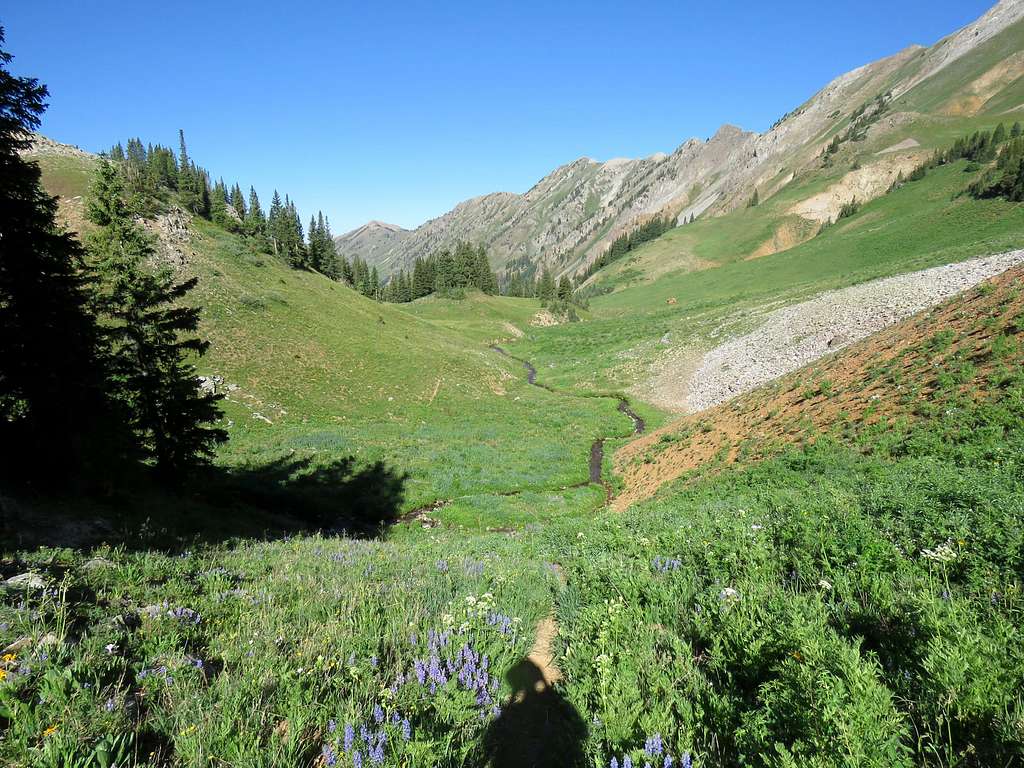
The true summit of Mt. Daly came to view.
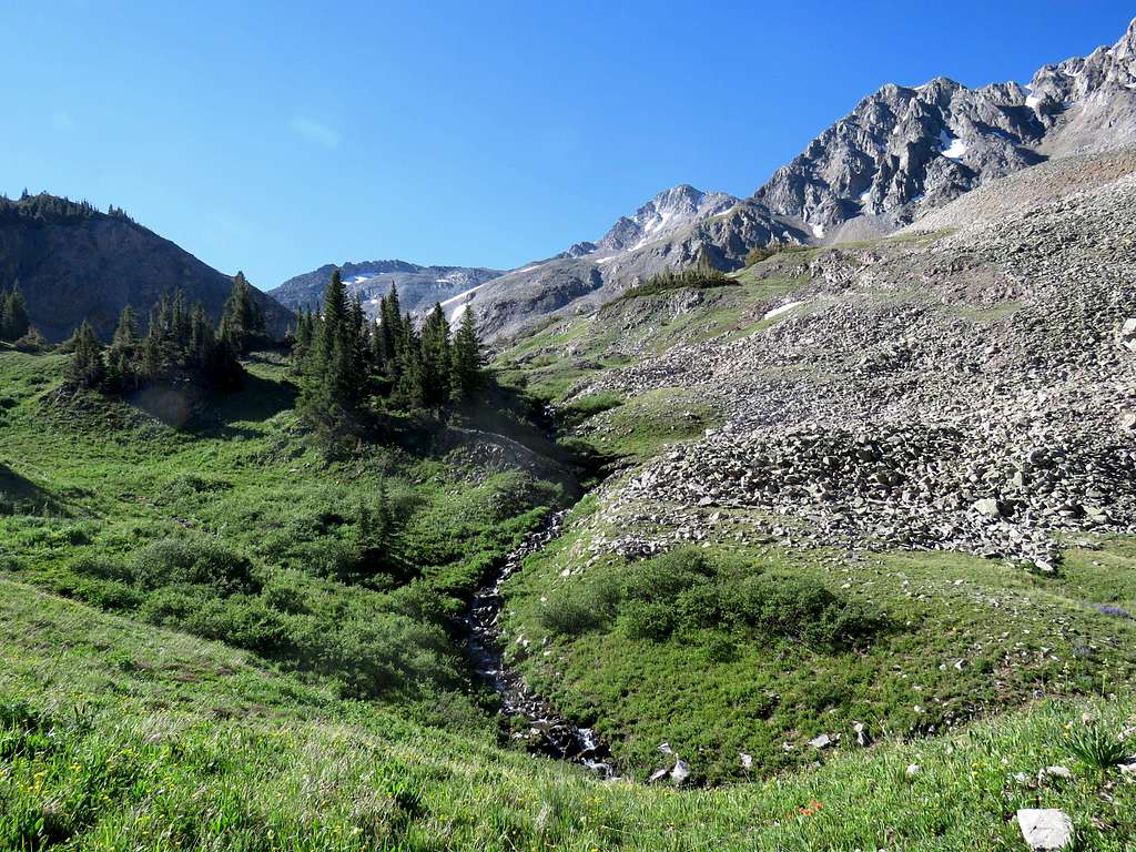
By 9:45 (5.6 miles), I had reached 11850 ft just to the west of the 11900 ft saddle. I could go to the saddle and then follow the crest of the ridgeline to reach the base of the summit but there seemed to be a cliffy area on that path. Instead, I chose to leave trail there and traverse a crushed rock/scree slope.
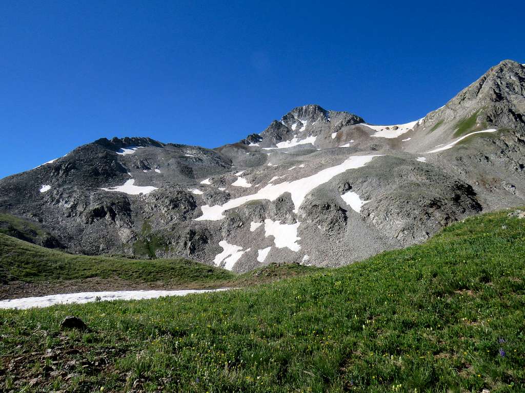
Point 12533 ft from near the saddle.
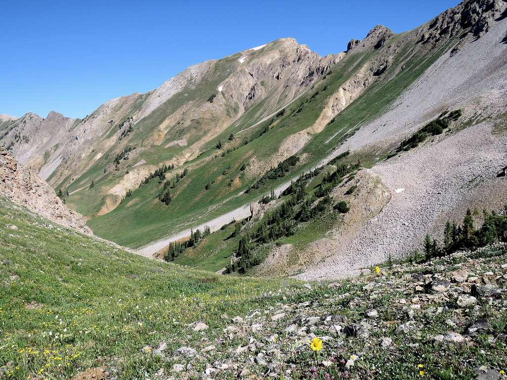
Left the trail and began to traverse the rocky/scree slopes toward a 12280 ft fairly flat place at the base of the summit. As nasty slopes go, that was not a particularly bad one but in some places, it sure was slippery. In one spot, I lost my balance over an unsteady rock and was about to fall backwards over the sharp rocks. My hiking pole was stuck between two rocks and I was able to hold on to it averting a potentially disastrous fall. That caused the bottom of my hiking pole to bend a good 15 degrees but serious injury was luckily prevented. I then reached the flat area on the northeastern ridgeline of Mt. Daly directly below the summit. The path in front of me looked very steep.
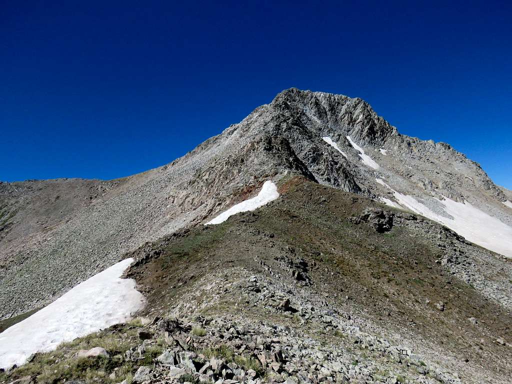
A better option seemed to be to traverse the scree slopes to reach the crest of the southeastern ridgeline of Mt. Daly but a big snow bank created an obstacle. I finally found a way around it.
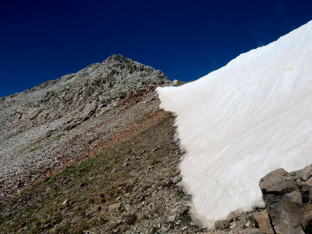
I then began to traverse the nasty slippery slopes. The going turned out to be very slow and unpleasant. I had told Mary that I would be back home by 3 p.m. There was no cell phone connection there (or even in the town of Marble for that matter). At around 12320 ft elevation, I just did not want to go anymore because it was no longer fun. I turned around and went back to that flat area where I reached at 10:45.
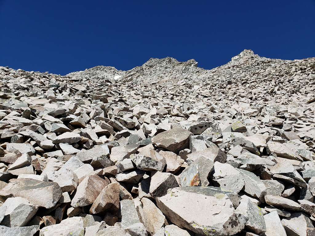
Sat in the flat area and had my lunch while enjoying the views.
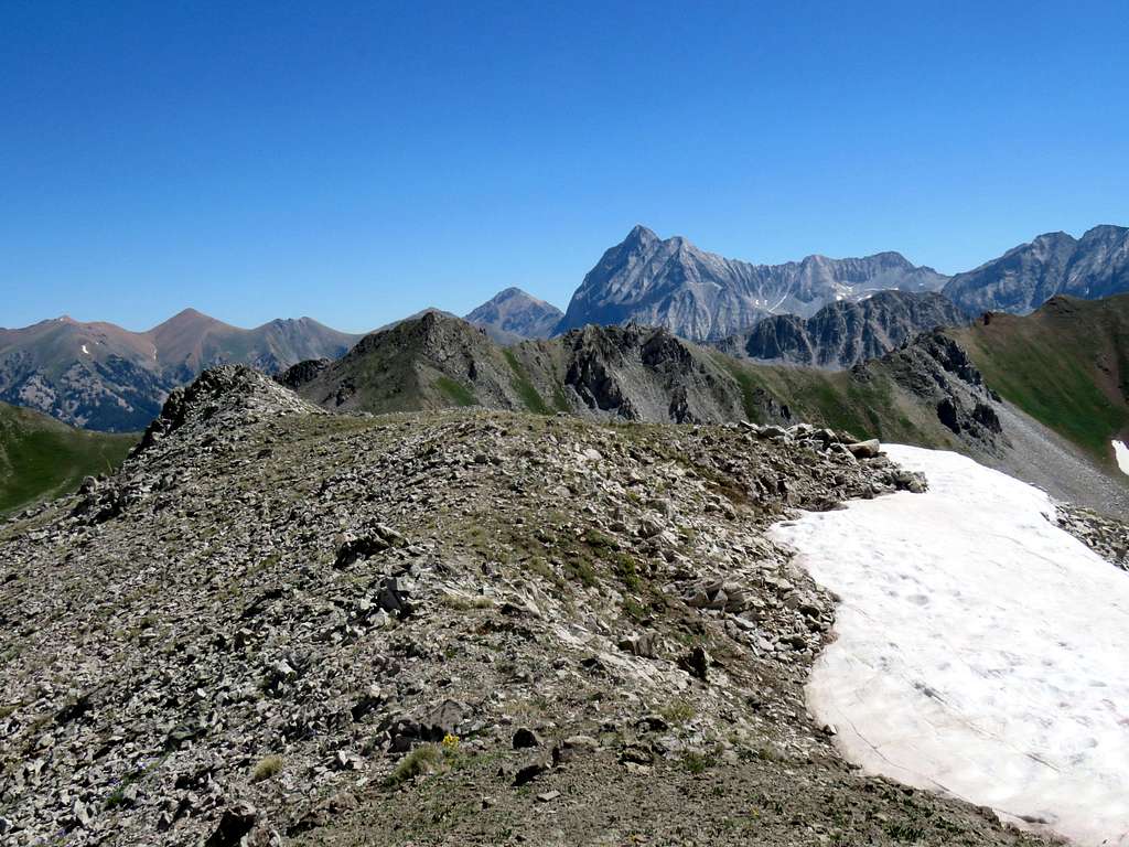
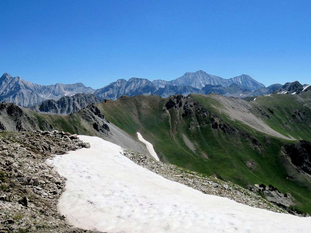
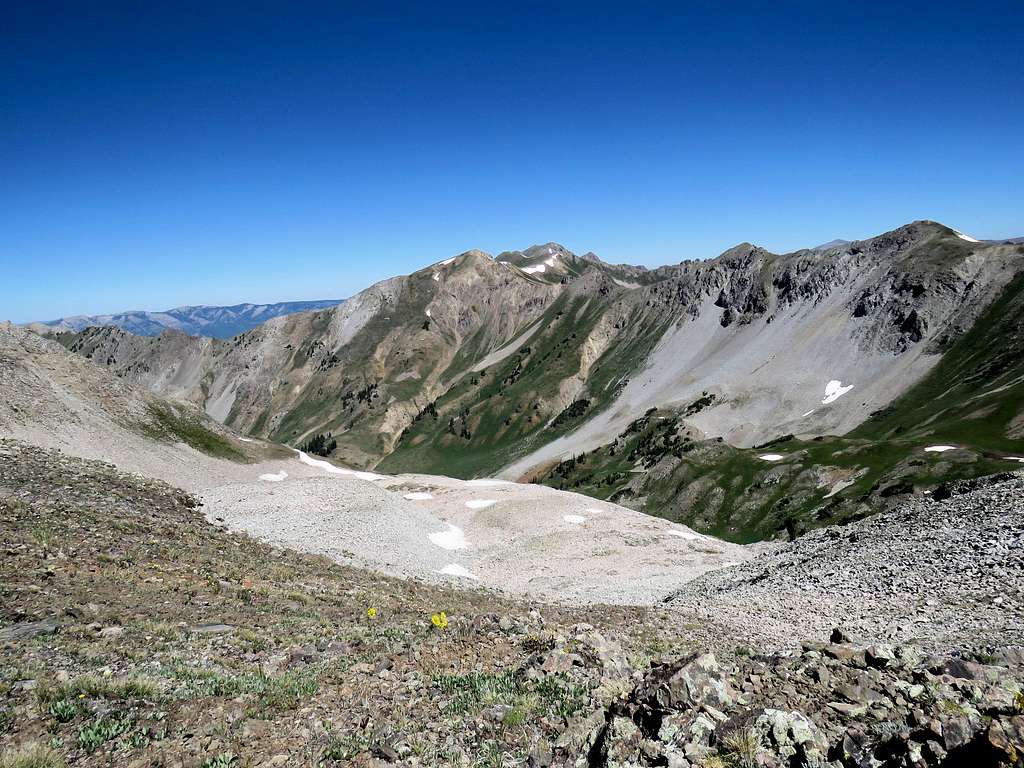
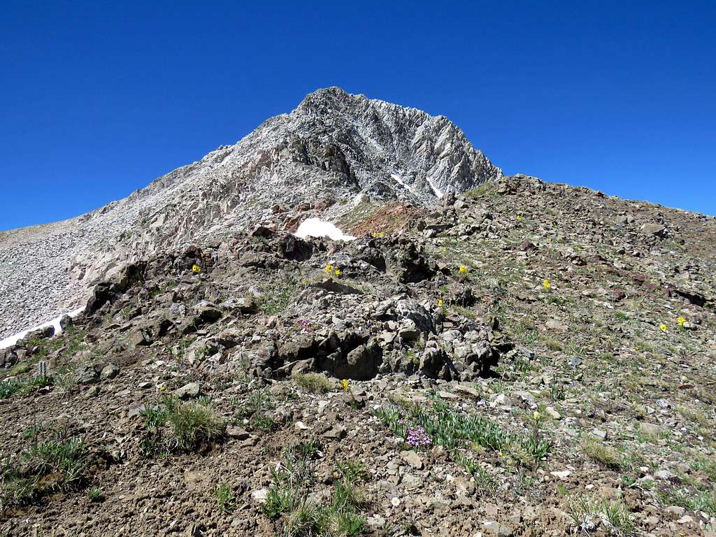
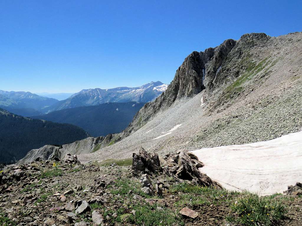
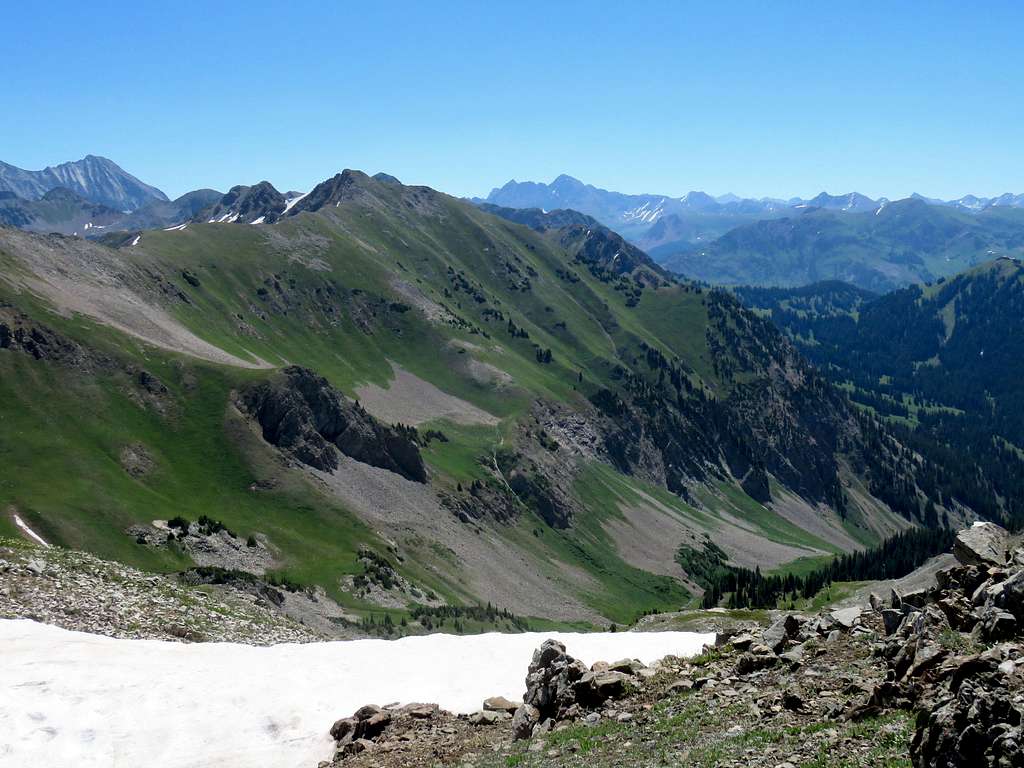
Left at 11:00 and traversed the crushed rock slopes downhill reaching the trail below the 11900 ft saddle at 11:30. One last look at the summit of Mt. Daly from the trail.
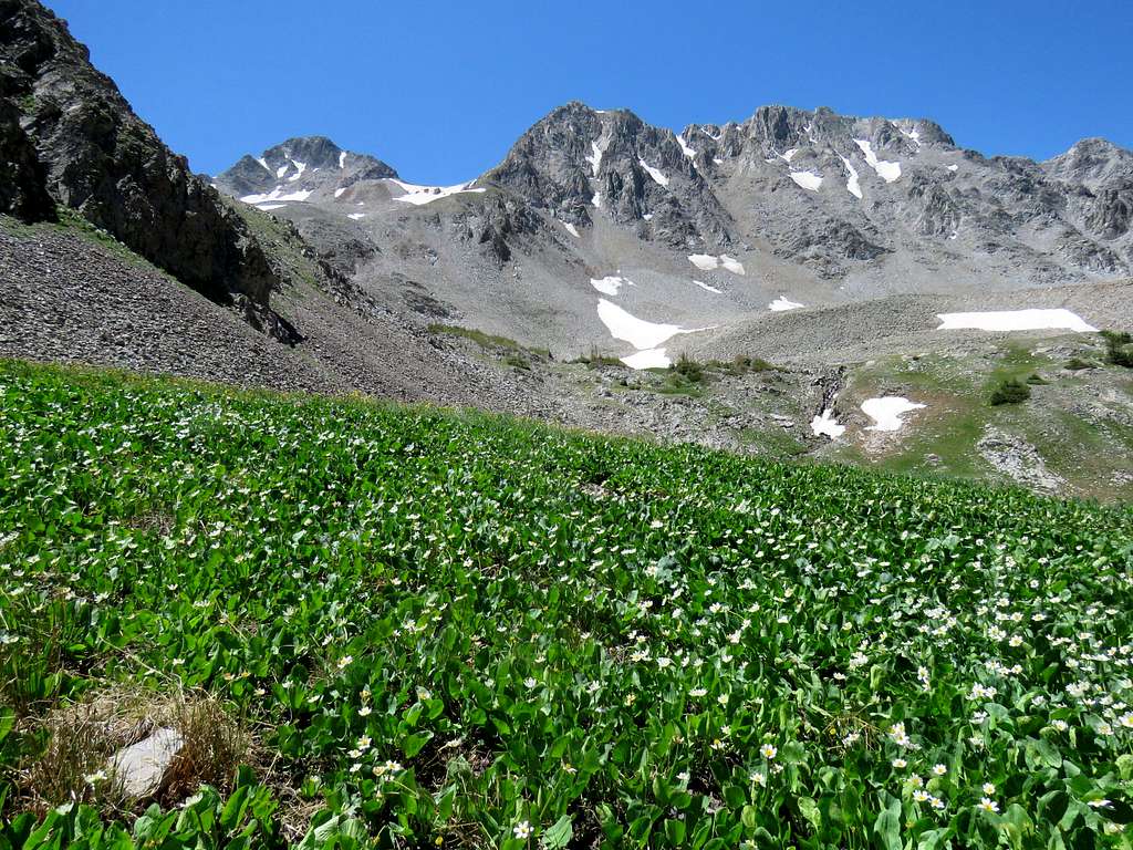
Suddenly heard a loud noise. Turned around and saw a small rock avalanche coming down the slope. By the time I took the camera out, the avalanche had stopped.
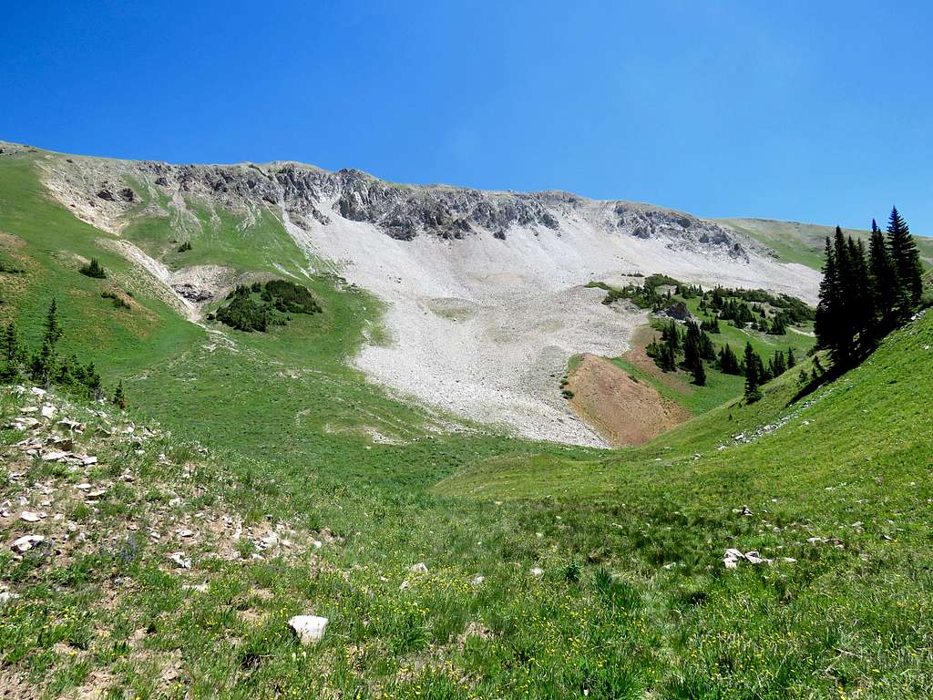
At around 11000 ft saw a couple hiking up. Later saw a lone hiker and much lower another couple. Those were the only other people I saw on the trail.
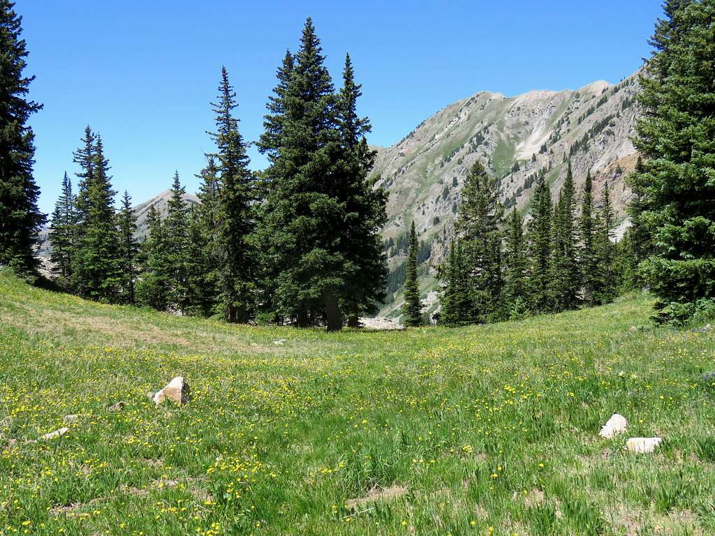
Chair Mountain and Elk Mountain.
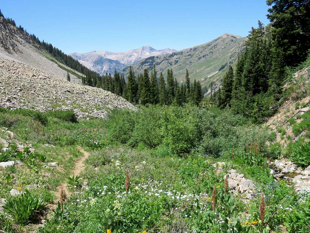
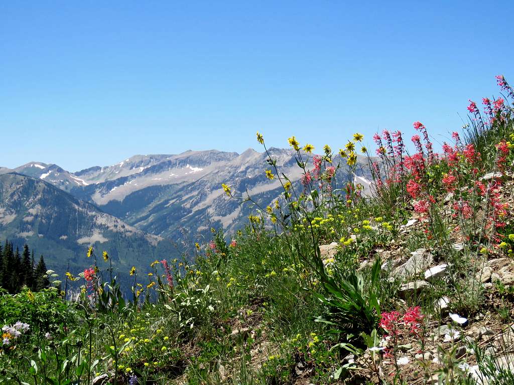
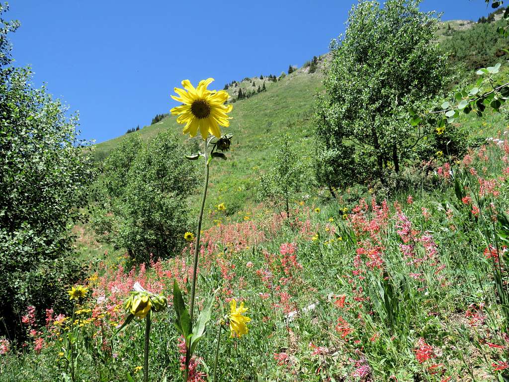
Flowers again.
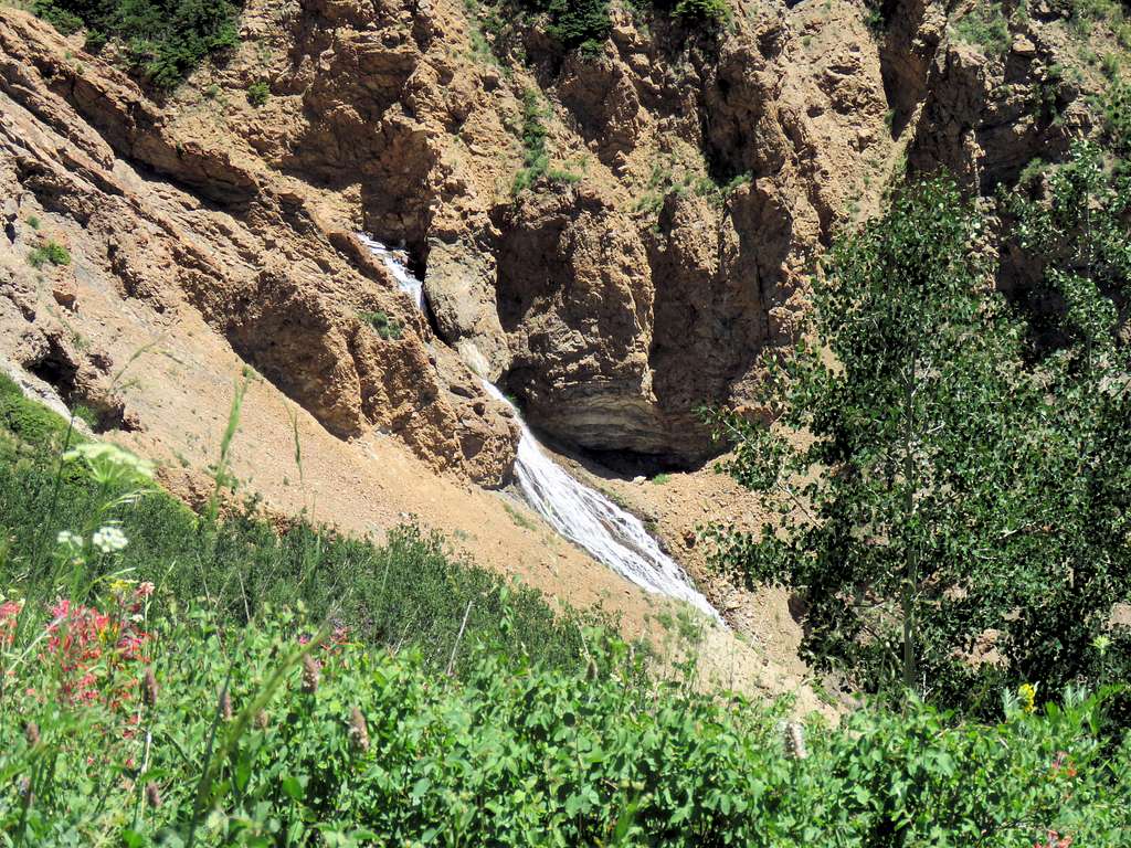
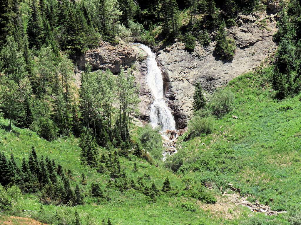
Close-up of waterfalls at the bottom of the valley.
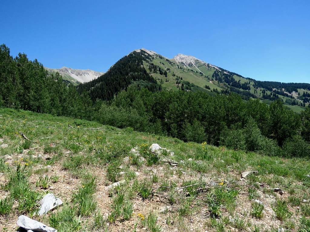
West face of Mt. Daly from the meadow.
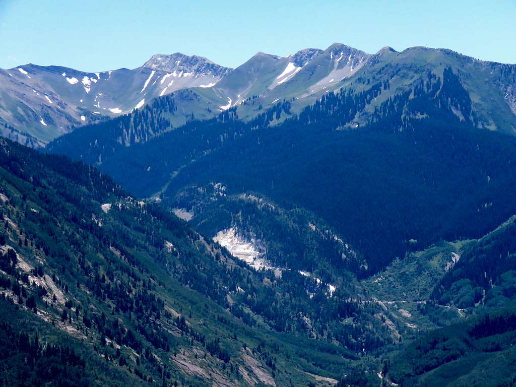
Zoomed view of Marble Quarry to the south of the town of Marble.
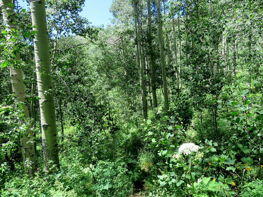
In the Aspen forest.
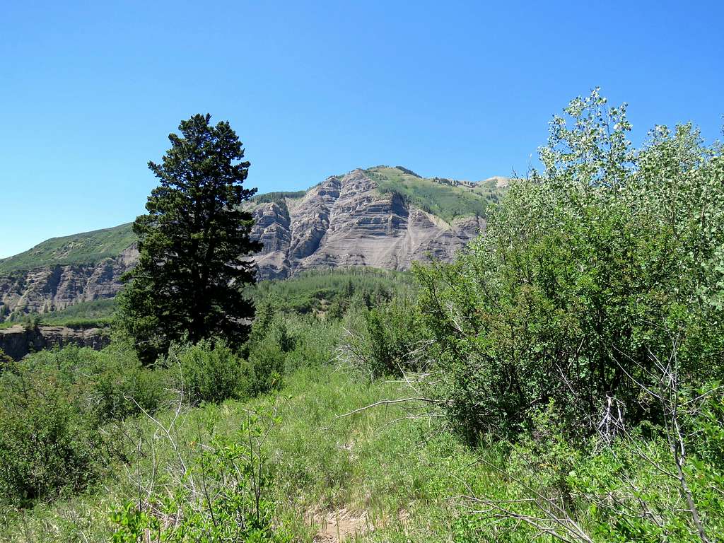
Gallo Hill, from the trail after (below) crossing the road.
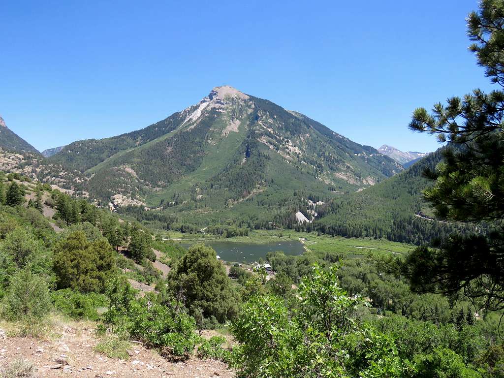
Beaver Lake and the town of Marble with Whitehouse Mountain.
Reached my car at 2:39 p.m. It was 81 degrees F feeling rather hot.

