|
|
Mountain/Rock |
|---|---|
|
|
45.48718°N / 122.504°W |
|
|
Multnomah |
|
|
Hiking |
|
|
Spring, Summer, Fall, Winter |
|
|
630 ft / 192 m |
|
|
Overview
Views from one of the intersection looking west
It was a rainy forecast and I was looking for a good place for my wife and I to go and get a light hike in. Going east of the pass was not an option because a major winter storm was heading for the Cascade Passes. In desperation I decided to head to metropolitan Portland to hike up one or a couple of its extinct volcano buttes than dot the eastern side of the town. It had rained horribly the day before and it was raining the day of our hike. I decided to give Powell Butte Nature Park a shot and I am glad I did.
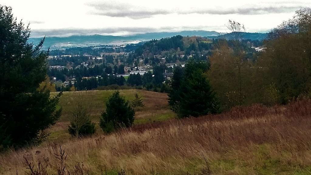
Looking northeast from the summit
For desperate peak-baggers this is a safe choice for a light hike. It is low enough to avoid most 0f the fog from the higher mountains but high enough to get good views even on a cloudy day. It is urban enough that one can get there on an hour of notice but rural enough that one feels far away from the city. I was there on a cloudy day so I did not see any volcanoes but on a clear day one can see Mount Hood, Mount Jefferson, Mount Saint Helens and Mount Adams. Unlike most small peaks there are views pretty much from the beginning of the trailhead all the way to the summit. My personal opinion is that this park is much more scenic that nearby Mount Tabor Park near downtown Portland. If you are in Portland even if you have only a couple of hours, take the time to visit this park.
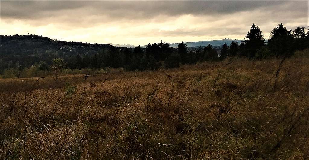
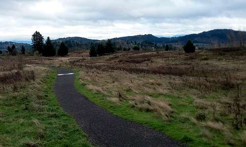
View North from the fields
Getting There
These directions are to the main parking lot at 16160 SE Powell Blvd in Portland Oregon. From I-205 get off on Exit 20 in Portland (Cherry Blossom Drive). Make a quick right onto 112th street and take it roughly a mile until you reach Powell Blvd. Make a left on Powell Blvd. and take it 2.6 miles to 162nd Ave. Make a right on 162nd avenue and take it all the way to the Powell Nature Park Parking Area.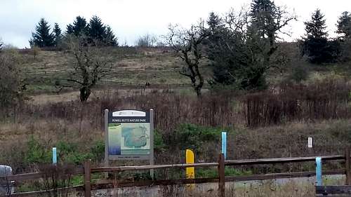
The Powell Butte Nature Park. You are at the right spot if you see this sign!!
There are also trail that leave from Foster Road. Take the same directions except you will want to turn on 136th avenue and head south from Powell Blvd and then make a left on Foster Rd. Parking is very limited from the south.
Route

Map of the Park courtesy of the Powell Butte Nature Park
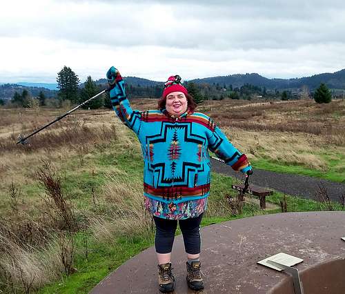
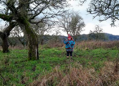
BearQueen on the summit
Red Tape
The Nature Park has limited hours, which usually lies from sun up to just after sundown. Parking though is free and the park is available every day of the year.When to Climb
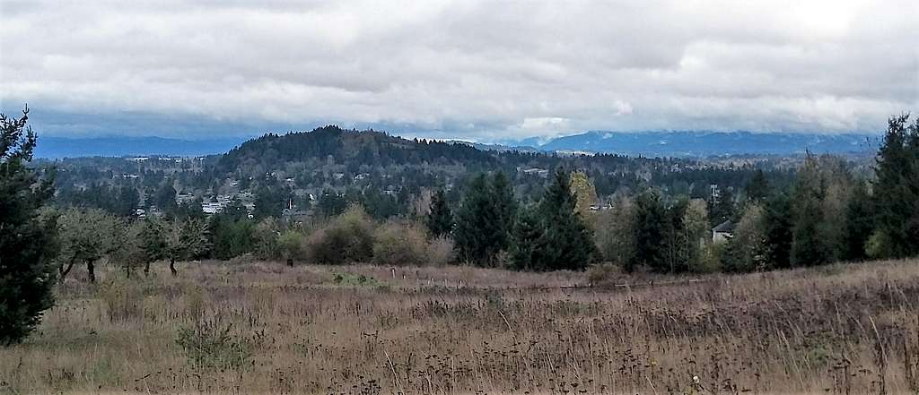
Looking east from the summit