-
 5991 Hits
-
 74.01% Score
-
 4 Votes
|
|
Mountain/Rock |
|---|---|
|
|
36.30850°N / 118.6251°W |
|
|
Tulare |
|
|
Hiking |
|
|
10060 ft / 3066 m |
|
|
Overview
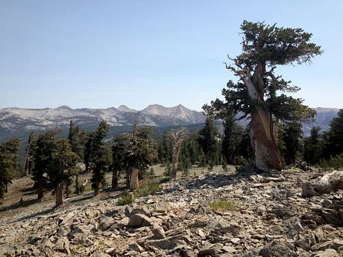
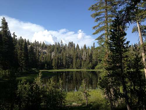
Located in the Golden Trout Wilderness, Sheep Mountain rises gently to the NE of Summit Lake. Although it is really an easy peak, especially if one is camping at the lake, it affords generous views of the area, including Farewell Gap and the Great Western Divide to the North, Moses and Maggie to the South, the Golden Trout Wilderness to the East, and Dennison Mountain, Homer's Nose, and the Central Valley to the West. Golden eagles may be spotted from the summit, where ample flat ground and fallen trees tempt one to nap, weather permitting.
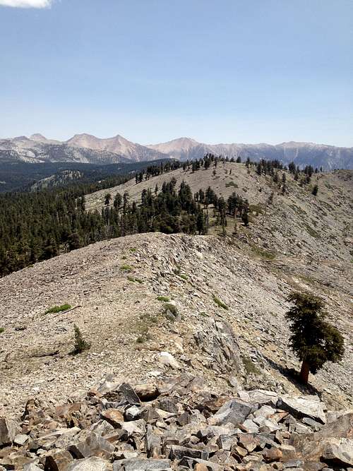
It is of note that one may hike South from the summit, along an undulating ridgeline (that occasionally requires dropping and traversing) all the way to the summit of North Maggie Mountain. The route is more scenic than efficient, however, and is not recommended unless camping at Summit Lake.
Sheep Mountain is listed on USGS area maps, but is not included on any peak lists that I am aware of.
Getting There
The most reasonable approach begins from Hidden Falls trailhead, or Shake Camp trailhead. The following is copied from uwjennie's Moses Mountain page:"From 99 north of Bakersfield Take Highway 65 north to Porterville. Take 190 through Porterville to Springville. Continue northeast from Springville for just under a mile until you see the "Mountain Home State Forest" sign. Turn north (left) onto Balch Park (County highway J37) at the sign. About 4 miles north of 190 bear right on Bear Creek Drive as indicated by another sign that points to Mtn Home. This turn is easy to miss (if you get to Milo, you went to far!). Follow Bear Creek Drive (county highway m-220) as it goes northeast across Rancheria Creek and then east to the conservation camp, then the road winds south to a great overlook, then northeast to the Mountain Home State Forest headquarters. Follow the main road, and keep looking for Balch Park or Shake Camp signs. About 3.75 mile past the Mountain Home State Forest headquarters the road forks. Take the right fork. Then shortly turn right again. Continue 2.5 miles to Hidden Falls Campground. If you get to Shake camp you missed the last turn. Backtrack .6 miles."
Route
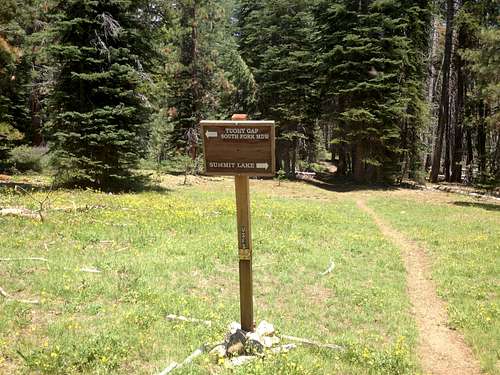
From Hidden Falls (or Shake Camp), follow the trail North. Summit Lake is approximately 7.3 miles from Shake, or 6.5 from Hidden Falls. Trail junctions are marked with signs indicating the correct direction of travel. Mostly, just continue North until a final junction indicating left for Tuohy Gap and right for Summit Lake. Go right, and continue the final 2.5 miles uphill to the beautiful lake.From Summit Lake:
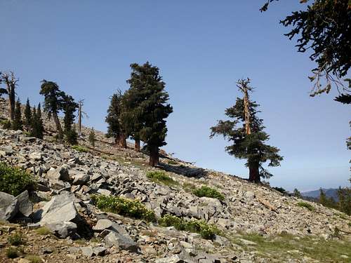
There are really several options. The simplest is to continue North on the trail from Summit Lake, turning right at the first junction 0.6 miles in, as it rises to the NE for about another 0.3 miles, and then hike cross country directly to the summit of Sheep Mountain. It is also possible to simply hike up the talus East of the lake to the saddle just North of the prominence that rises above the lake. From there, simply walk North to the summit.
Red Tape
No permits are required for day hikes. Overnight stays (recommended) require a free Wilderness Permit, available from:Tule River Ranger District
32588 Highway 190
Springville, CA 93265
559-539-2607
Campfires require permits, which can be printed out and signed from:


