-
 20886 Hits
-
 70.73% Score
-
 2 Votes
|
|
Trailhead |
|---|---|
|
|
45.84703°N / 114.26319°W |
|
|
Ravalli |
|
|
Spring, Summer, Fall, Winter |
|
|
6382 ft / 1945 m |
Standard Trapper Peak Trailhead
The most-used trailhead for Trapper Peak is about 20 miles in a southwesterly direction from Darby, MT.From the south side of Darby, MT, drive south about 4 miles on Hwy 93 and turn right (west) onto Montana 473, also known as the West Fork Road.
Continue on the West Fork Road to a point just past the 11 mile marker then turn right (north) onto FR 5630-A at Laverne Creek where there is a sign for Trapper Peak Trailhead.
In about .6 mile, stay left at the first junction (signed) as you continue on switchbacks for 6.5 miles to the signed trailhead
(trail 133).
There are no restroom facilities, but there are spaces for parking several vehicles.
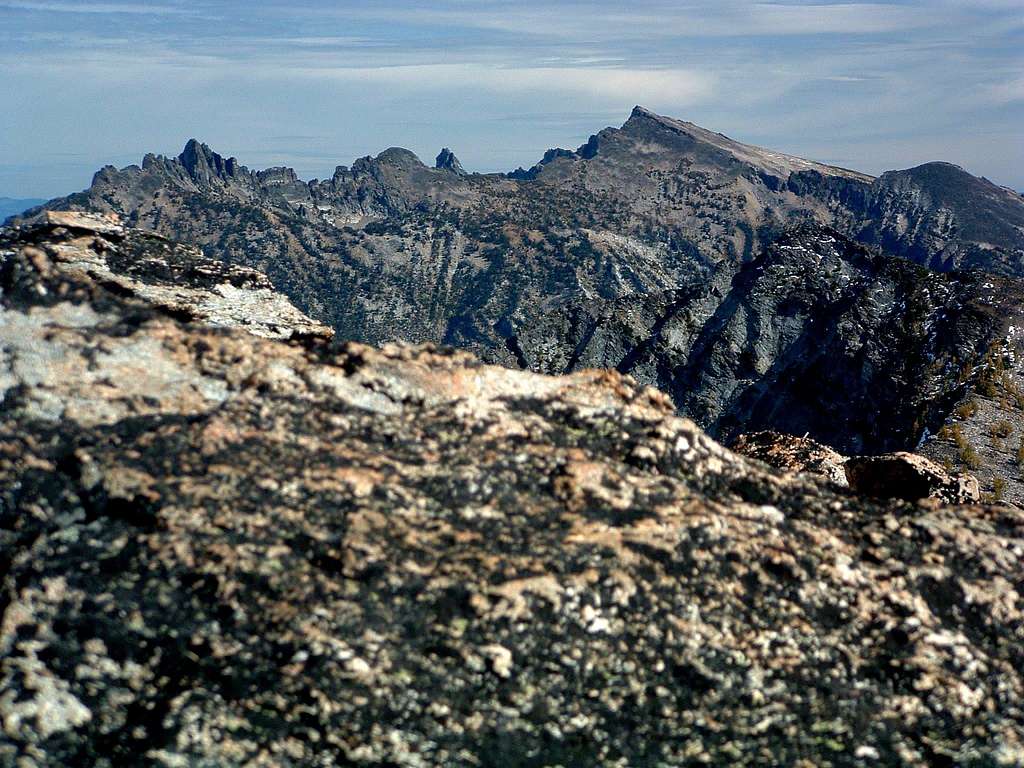
For information about the climbers' route accessed from this trailhead, see the link included in the picture's description.
 |
|---|

