-
 15006 Hits
-
 71.06% Score
-
 1 Votes
|
|
Trailhead |
|---|---|
|
|
46.71717°N / 114.19126°W |
|
|
Ravalli |
|
|
Spring, Summer, Fall, Winter |
|
|
5825 ft / 1775 m |
Lolo Peak Trailhead
 |
|---|
The repairs to the lower (first) portion of Mormon Creek Road seem to be complete. Though still the steepest and narrowest section of the road, it is much improved. Do not be disheartened, it gets better the farther you go.
Follow the road for 8.5 miles to a right-turning switchback were the trail begins. There is now a sign marking the trailhead. Parking is limited which I find strange, considering the popularity of the peak.
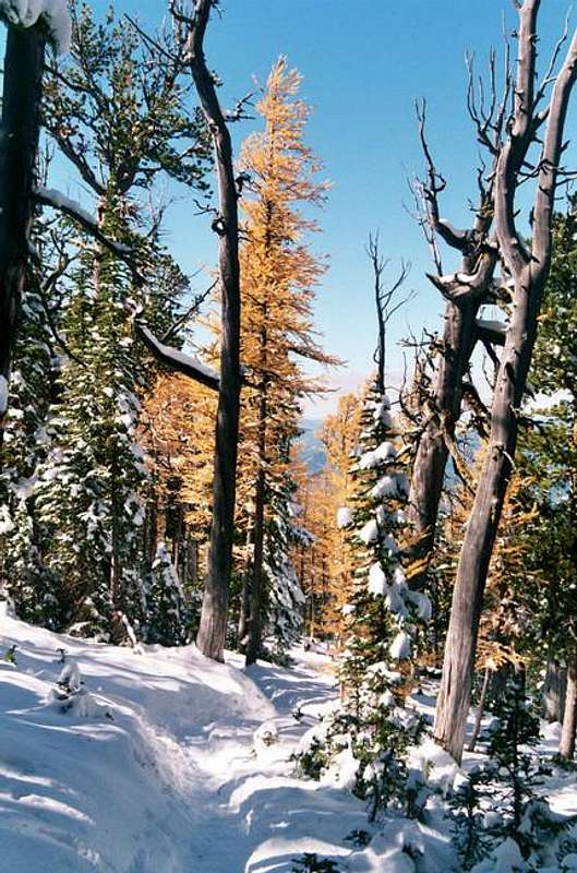
For information about the climbers' route accessed from this trailhead, see the link included in the picture's description.
Note: This trailhead is not assessable between December 1st and May 15th because Mormon Peak road is closed at Hwy 12. During that period, use the Mill Creek (Lolo) Trailhead.


