-
 25393 Hits
-
 72.07% Score
-
 2 Votes
|
|
Trailhead |
|---|---|
|
|
45.89525°N / 114.23974°W |
|
|
Ravalli |
|
|
Spring, Summer, Fall, Winter |
|
|
6817 ft / 2078 m |
Access to Trapper and North Trapper Peaks

From Darby, MT, drive south about 4.5 miles on Hwy 93 and turn right (west) onto Montana 473, also known as the West Fork Road.
Shortly after mile marker 6, then passing the Trapper Creek Job Corps, on your right (west), will see a USFS sign indicating a turnoff for the Trapper Creek Trailhead. Immediately begin looking for the USFS sign to the Baker Lake Trailhead which you should see on the same side of the road in a very short distance (It’s the next right after the Trapper Creek Trailhead turnoff).
Turn right (west) onto Pierce Creek Road (FS 363).
At 1.1 miles after leaving the West Fork Road, a road cuts off to your left (southwest). You want to continue straight ahead, just as the sign indicates.
Another mile along the road, at 2.1 miles, you turn right onto FS 5634 and the trailhead for Baker Lake. This intersection is signed. Follow it to the end, which is 9.8 miles from your turnoff from the West Fork Road (The FS sign at the intersection indicates a different mileage but is incorrect).
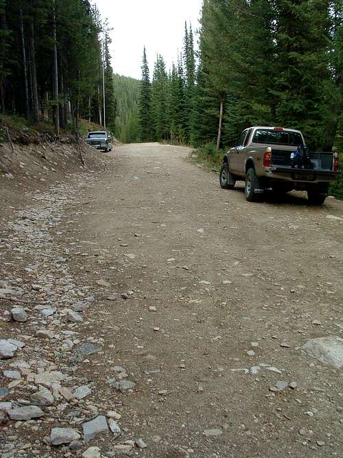
There is parking space for several cars, but it’s a tight spot for turning around.
The trail begins going immediately uphill at the end of the road.
For information about the climbers' routes accessed from this trailhead, see these links:


