Add Heading Here
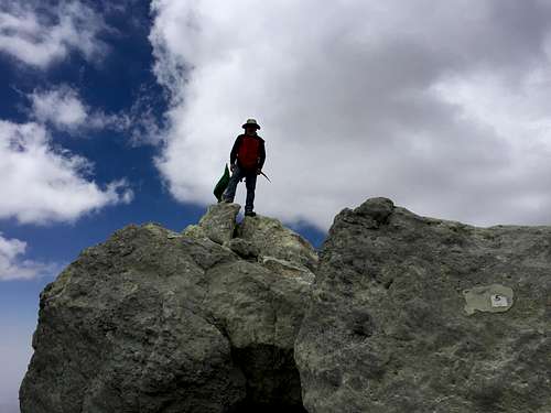
In this trip report I have tried to give you as much information as possible in case you want to summit Damavand through the south route. Unfortunately, my camera broke, and I had to take all the pictures by my cell phone.
In my recent trip to Iran I decided to summit Mt. Damavand. July and August are the most popular months to climb Damavand through different routes. During this period of time the mountain is very crowded specially in the weekends. On Monday (August, 17) afternoon I traveled to the village of Polour, a beautiful village on the foot of Mt. Damavand about 60Km to the NE of Tehran. When I got there, I went to the office of MSFI (Mountaineering & Sport climbing Federation of Iran) which is the base camp for the south route. Many years ago they constructed a road from base camp (camp1) to camp2. Therefore, you don’t have to do any hiking to get to camp2. You can just ask for a ride to get there!!! It is very unfortunate that they ruin the nature to make some money. There are a couple of SUVs and some old pickup trucks that you can hire to get to camp2. The fare per car is 80,000 toman (about $25). If you are by yourself and nobody else is there, you have to pay the whole money yourself. If there are more people, you can share the fare.
The road from camp1 to camp2 is 9-10km long, and about 7Km of it is dirt road. At the entrance to the dirt road they charge each Iranian 15000 toman (less than $5) and each foreigner $50.
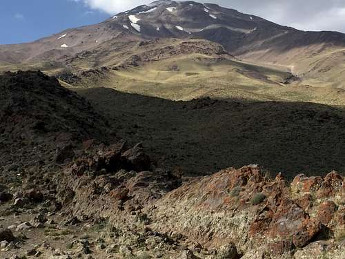
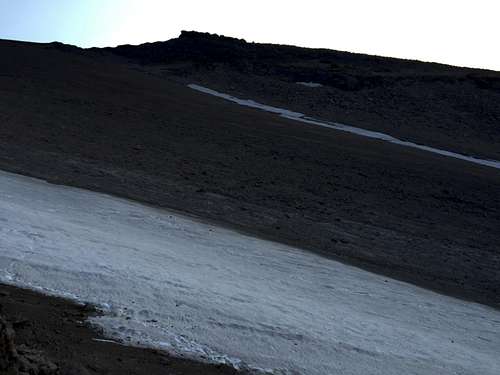
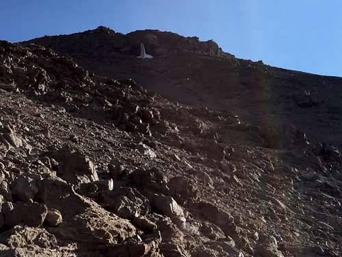
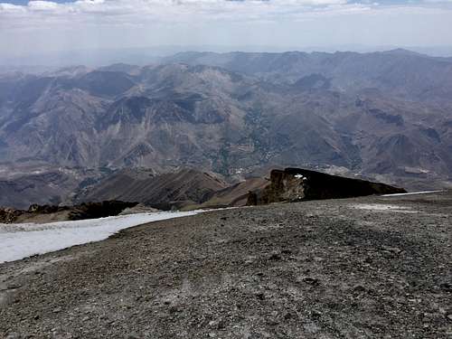
Camp2 is called Goosfand-sara (a place for sheep grazing). There is a mosque there which can be used as a shelter in case you need to. Some people call camp2 the base camp. Here is a view from camp2.
![The south face]() View from camp2
View from camp2
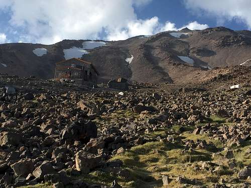
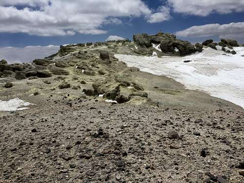
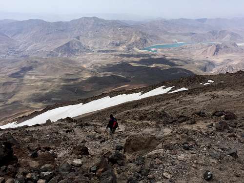
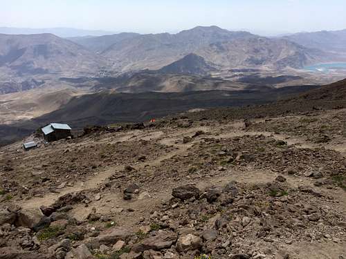
I started my hike from camp2, and it took me about 2 hours and 45 minutes to get to camp3. The main shelter in camp3 is called Bargah-e sevvom, a nice place at the elevation of 4260m (according to my GPS altimeter). Although in the entire route from camp2 to camp3 I only saw a couple of people, there were more that 100 people at camp3. There are 70 beds in the shelter which were all occupied when I got there. Some climbers set up tents outside the shelter, and some used the old shelter located about 50 meters to the south of the main one.
![Camp3]() Camp3
Camp3
![Sunset at camp3]() Sunset at camp3
Sunset at camp3There is a grocery store/restaurant at Bargaah-e sevvom which provides food (mainly soup) and other stuff like tea, soft drinks, dates,chocolate bars, biscuits, ….. This place is open all year round. It is always warm inside the shelter, and they turn off the lights at around 10PM. Make sure to take your headlight with you when you stay overnight.
Since the beds were occupied, I slept at a corner in the restaurant area. Out of those 100-150 people in camp3 about 30-40 people attempted to summit Damavand. One group left at 2AM and others left at around 5AM. I wanted to leave the shelter at 5AM but as soon as I stepped out it was so cold that I had to jump back in. Unlike others, I had only a thin shirt and a sleeveless jacket which were not enough at -10C. I didn’t expect the temperature to be this low in mid August. I waited till 6AM, and then started hiking to the summit.
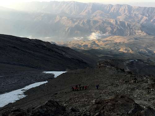
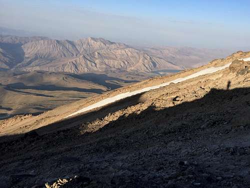
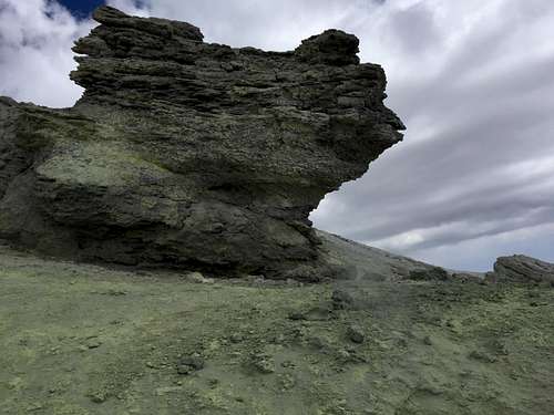
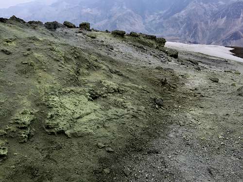
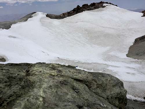
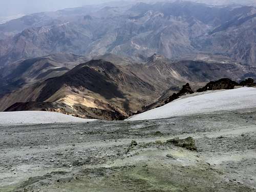
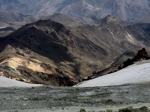
![Doberar ridgeline]() Doberar ridgeline
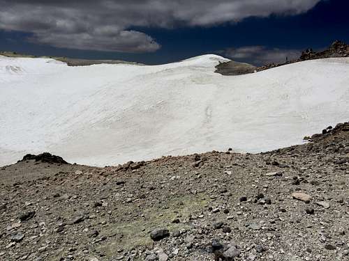
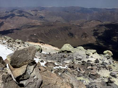
Doberar ridgelineOn the way up you can see several permanent snowfields. The main glaciers of Damavand are on the NW, N, NE and East face.
![Doberar ridgeline]() Doberar ridgeline
Doberar ridgeline![Mt. Gole-e zard]() Mt. Gole-e zard
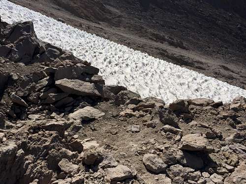
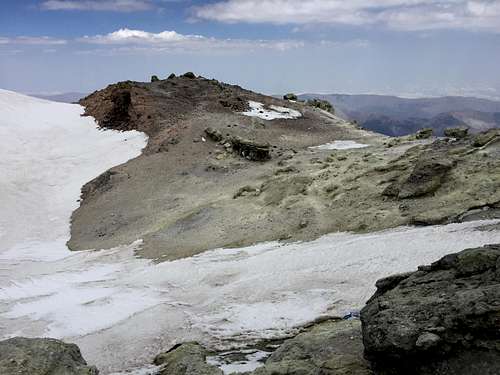
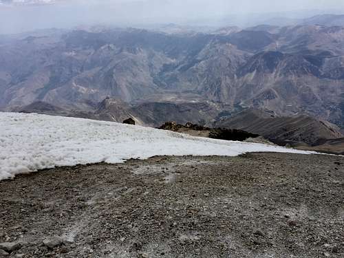
Mt. Gole-e zard![A snow field]() A snowfield
A snowfield
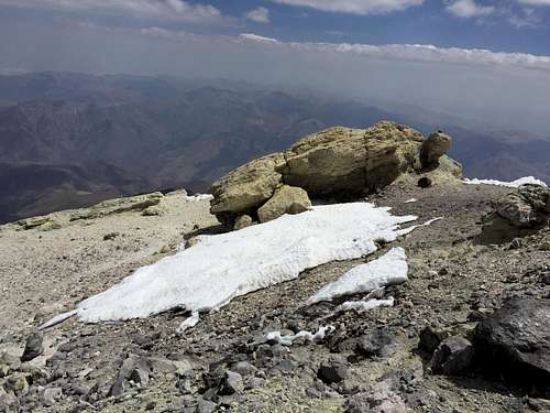
There is a frozen waterfall at the elevation of 5100m.
![The frozen waterfall]() The frozen waterfall
The frozen waterfall
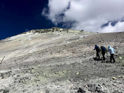
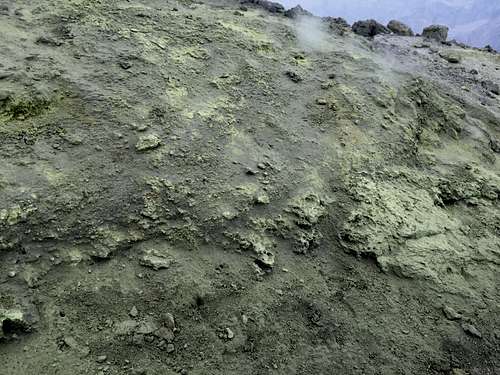
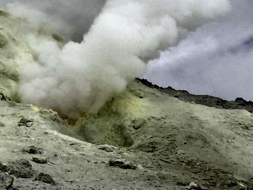
When you get close to the summit, emission of the sulphurous gases makes breathing a little difficult. Some people use masks, but I was more comfortable without it. Some people pour some vinegar on the paper masks to make the filtering better.
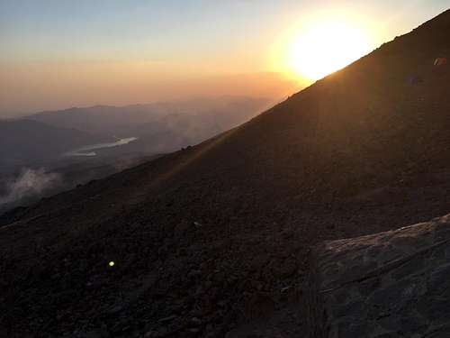
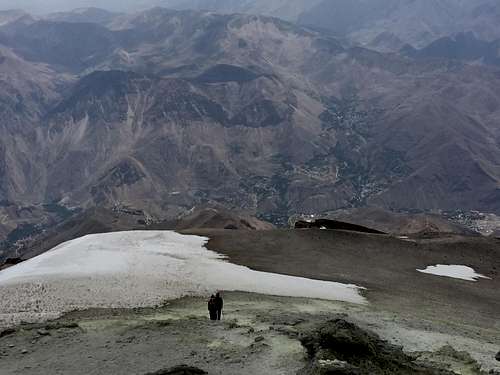
![Almost there]() Getting close to the summit
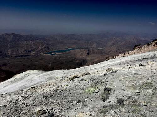
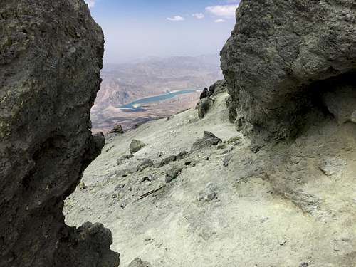
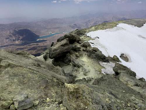
Getting close to the summit![Lar dam]() Lar dam
Lar dam![Emission of sulphurous gases]() Emission of sulphorous gases
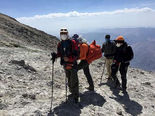
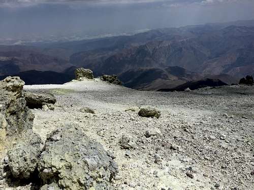
Emission of sulphorous gasesOn the average it takes about 6 hours for the hikers to get to the summit from camp3. Here are some photos from the summit and around the crater. My GPS altimeter showed 5619m at the highest point.
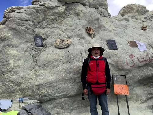
![The summit]() The summit
The summit![The highest point (5619m)]() The highest point (5619m)
The highest point (5619m)![Lar dam]() Lar dam from the summit
Lar dam from the summit![The summit]() The summit
The summit![The crater]() The crater
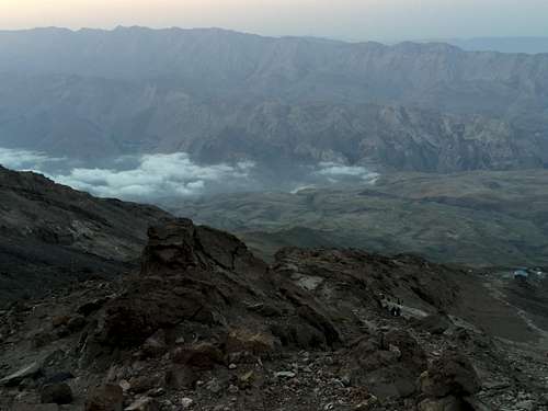
The crater![Haraz valley]() Haraz Valley
Haraz Valley![Valaru plateau]() Valaru plateau
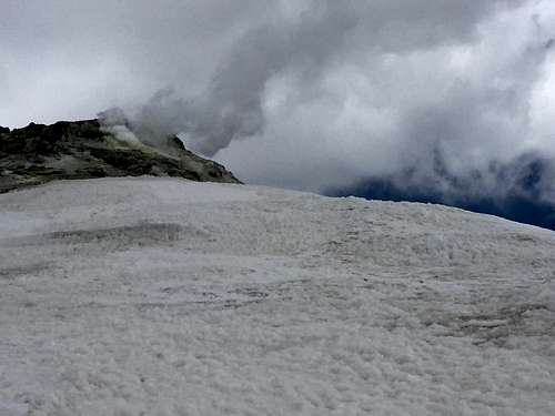
Valaru plateau![The fumarole]() The fumarole
The fumarole![The fumarole and Baam-e Barfi]() The fumarole and Baam-e Barfi
The fumarole and Baam-e Barfi![Yakhar valley]() Yakhar valley
Yakhar valley![Yakhar Valley]() Yakhar valley
Yakhar valley
![Mt. Pashooreh]() Mt. Pashooreh
Mt. Pashooreh![pashooreh and Doberar]() Pashooreh and Doberar
Pashooreh and Doberar
I spent about 45 minutes on the summit and around thecrater, and then started going down. On the way down you can go fast. It tookme about 1hour and 45 minutes to get to camp3 from the summit.
![Lar dam]() On the way down
On the way down![Camp3]() Camp3
Camp3
I spent abouthalf an hour at camp3, and packed my stuff, and started going down. It took me another 1 hour and 45 minutes toget to camp2. I got a ride at camp2 to get to camp1. That was the end of thetrip.


Comments
Post a Comment