
|
|
Mountain/Rock |
|---|---|
|
|
32.27202°N / 111.15468°W |
|
|
Pima |
|
|
Mountaineering |
|
|
Spring, Fall, Winter |
|
|
4422 ft / 1348 m |
|
|
Overview
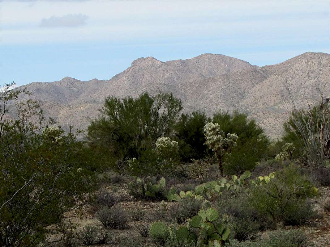
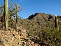
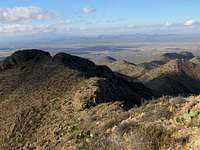
South Face, Amole Peak on the far left, Wasson Peak middle
Amole Peak has only 120 ft of prominence. It is, however, a named peak and is officially the second highest peak in the western district of Saguaro National Park. Amole Peak rises on the western ridgeline of Wasson Peak, the highest peak in the area.
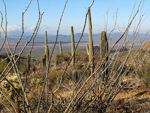
A beautiful cactus forest covers the slopes of Amole and Wasson Peaks. A network of trails crisscross the slopes of Wasson and Amole Peaks taking the hiker through the forest, providing access to the summit of Wasson Peak (see Wasson Peak Trails). Although no trails go to the top of Amole Peak, Hugh Norris Trail passes by a spot 180 vertical feet below the summit of Amole Peak. To reach the summit, you must leave trail and find your own way to the top (see Red Tape Section below).
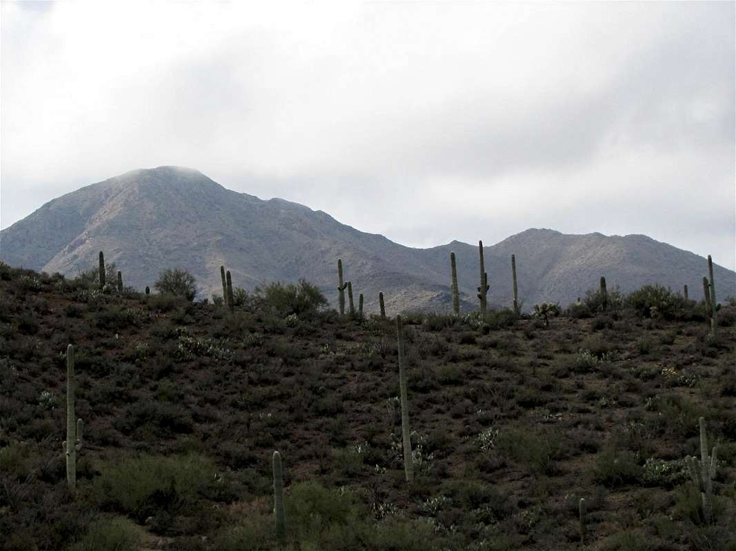
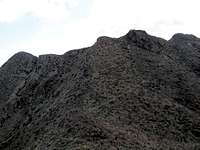
North Face, Amole Peak on the right and Wasson Peak on the left
Getting There
Directions to King Canyon Trailhead:Take Exit 99 on I-19 in Tucson and turn west onto Route 86 (Ajo Highway). Drive 5 miles to the intersection with Kinney Rd. Turn north onto Kinney Rd and drive 8 mile going through Tucson Mountain Park until you see the sign for Arizona-Sonora Desert Museum on the left (west) side of the road. A very short distance after the sign for the museum, you will see a dirt pull-off on the right (east) side of the road. This pull-off is not signed but it is the King Canyon Trailhead
Route: King Canyon/Gould Mine Loop
Amole Peak is rarely a destination by itself. It is usually climbed along with Wasson Peak. The loop trail described here can provide access to both peaks.I saw no identifying signs at King Canyon Trailhead. The rest of the trail, however, was well signed.
At the trailhead, you will note two paths. One follows the bottom of the King Canyon (I followed this path) and the other seems to be an abandoned Jeep road that parallels the canyon. The path at the bottom of the canyon takes you by a dry waterfall. Wasson Peak itself is not seen but the nameless high points to the southwest of it are well visible.
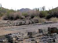 King Canyon |  King Canyon |  Dry Waterfall |
You will soon reach a place called Mam-A-Gah. Sendero-Esperanza Trail joins you from the left (west). Follow the signs and continue straight. The trail leaves the bottom of the King Canyon and begins to go up the slopes toward a 3870 ft saddle.
 | |
 Saguaro Cactus |  |
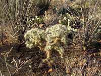 Teddy Bear Cholla | |
 | |
 Strands of Ocotillo Plant | |
 Prickly Pear | 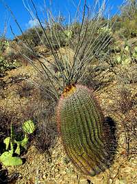 Barrel Cactus |
At the saddle, you will reach the junction of the Sweetwater Trail. Turn left and follow the trail up its many twists and turns toward Wasson Peak. Just before the summit, at a spot near the nameless high points to the southwest of Wasson Peak, you will reach the junction of Hugh-Norris Trail.
 |  |
Follow the sign and continue another 0.3 miles to reach the summit of Wasson Peak.
Views from the summit of Wasson Peak:
 |  |
Retrace your path back to the junction of Hugh-Norris Trail and get on the Hugh Norris Trail. The trail makes a number of switchbacks going down a steep slope toward a 4300 ft saddle with Amole Peak.
 Trail descending |
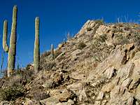
Amole Peak and the Hugh-Norris Trail below it will now be in good view.
 Amole Peak & Hugh Norris Trail |
You can choose any path to reach the top of Amole Peak. I chose to follow the trail to a spot directly below the summit and then go up the slopes (I was very much worried about the possible need for bushwhacking in this thorny environment but the path that I chose did not require any bushwhacking).
Views from the summit of Amole Peak:
 Golden Gate Mountain | 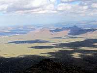 Safford & Panther Peaks |
Hike back down to Hugh-Norris Trail and continue to follow it downhill. You can look back to see Amole and Wasson Peaks.
 Amole & Wasson Peaks | 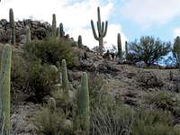 Hugh Norris Trail |
You will then reach the junction of Sendero-Esperanza Trail. Turn left (east) and follow Sendero Esperanza Trail downhill.
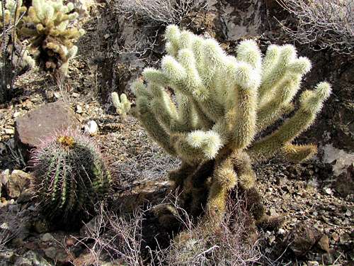 Teddy Bear Cholla & Barrel Cactus, on Sendero-Esperanza Trail |
You will go by the abandoned Gould Mine and reach the junction with Gould Mine Trail. Turn right onto Gould Mine Trail and follow it back to King Canyon Trailhead.
 Gould Mine | |
 On Gould Mine Trail | 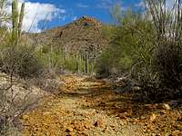 On Gould Mine Trail |
Red Tape
You must pay park entrance fee.When I climbed Amole Peak, hiking off trail was allowed in the western district of Saguaro National Park and not allowed in its eastern district. For up to date information and all other rules and regulations see the site for Saguaro National Park.
 Map |
Weather Forecast & When to Climb
See the forecast for the nearby city of Tucson.Fall and spring are the best time to climb. Summer can become extremely hot.