Toggle navigation
Mountains
Routes
Images
Trip Reports
Forum
What's New
People
Areas & Ranges
Articles
Trailheads
Canyons
Huts & Campgrounds
Albums
Logistical Centers
Fact Sheets
Lists
Custom Objects
Gear
Plans & Partners
WELCOME TO SUMMITPOST
SIGN IN
REGISTER
Mill Points Connecting Ridge
Additional Parents
Image
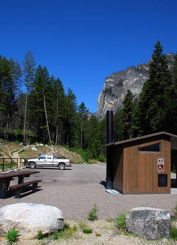
Blodgett Creek TH
View High-Resolution Image
Blodgett Creek TH
Parking at the Blodgett Creek Trailhead. © Mike Hoyt, 18may07.
« PREV
NEXT »
Michael Hoyt
on
Sep 16, 2007 5:00 pm
Comments & voting
Other parents
Lat/Lon:
46.29173°N / 114.29375°W
Image Type(s):
Informational
,
Scenery
Image ID:
337594
5859 Hits
74.92
% Score
5
Votes
Log in to vote
Comments
No comments posted yet.
to post!
Don't have an account?
Mill Points Connecting Ridge
(Route)
« PREV
Viewing
#4 of 19
GALLERY
NEXT »
Michael Hoyt's Image Gallery
« PREV
Viewing
#673 of 1801
GALLERY
NEXT »
Point 8650 - Mill Point West
(Mountain/Rock)
Loading....
Blodgett Mountain
(Mountain/Rock)
Loading....
Mill Point
(Mountain/Rock)
Loading....
The Prow Chute
(Route)
Loading....
South Face Chute
(Route)
Loading....
Blodgett Creek Trailhead
(Trailhead)
Loading....
×
You need to login in order to vote!
User Name
Password
Remember me
Forgot your password?
Log me out when I close my browser.
Keep me logged in all the time.
sign in as a user
Don't have an account?
Register now for FREE
Rating available
Suggested routes for you
People who climb the same things as you
Comments Available
Create Albums
Register Here


