-
 6989 Hits
-
 85.87% Score
-
 21 Votes
|
|
Mountain/Rock |
|---|---|
|
|
46.29173°N / 114.29375°W |
|
|
Ravalli |
|
|
Scrambling |
|
|
Summer, Fall |
|
|
8650 ft / 2637 m |
|
|
Overview
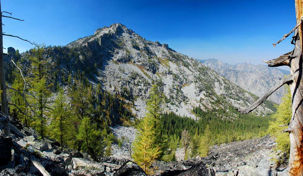
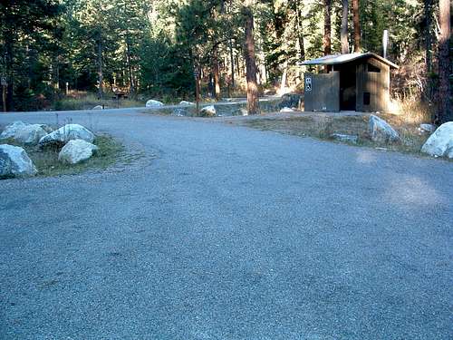
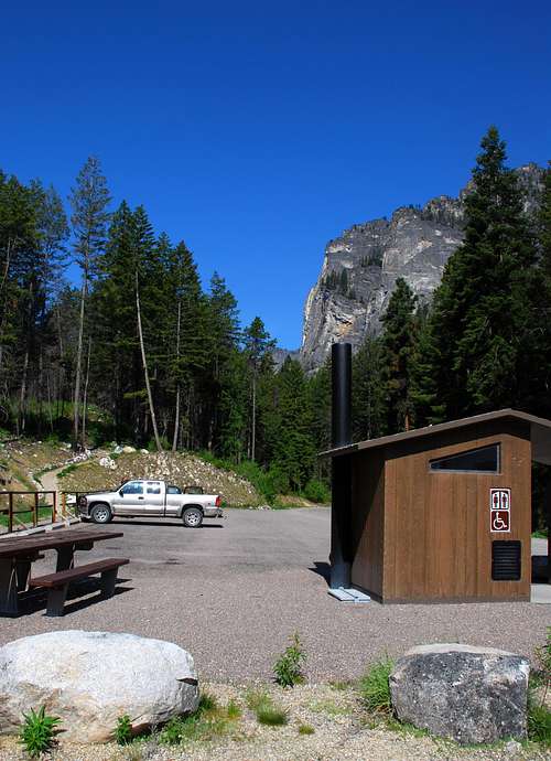
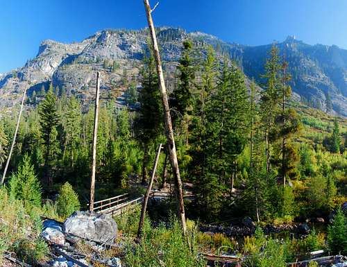
Latitude & Longitude – 46.29173 N / 114.29375 W Route Type – Scramble Elevation – 8,650’ Class Level – Class 3 Length of Time Required To Complete Route – One Day Though the most-visited highpoint along Printz Ridge is Mill Point, at 8,467 feet it is not the highest near the eastern (and most accessible) end of the ridge. As you move west along the ridge, the next highpoint is Point 8650, often referred to as Mill Point West. Mill Point West is slightly over three quarters of a mile from Mill Point, almost due west. It is visible from many places in the Bitterroot Valley. In fact, from my home on the Valley’s east side, I can make out the summit of Mill Point West peering over Mill Point, though just barely. The first time I visited the summit of Mill Point and looked west, Mill Point West simply begged to be visited. From where I sat shivering on the summit, it appeared to be reachable. Unfortunately, the blustery wind that day kept me from spending much time studying possible routes. As I descended to escape the wind, I vowed to climb Mill Point West – someday. During September 2007, that day arrived. Getting ThereBlodgett Creek TrailheadBlodgett Creek and Canyon are named for Joseph Blodgett who was a packer in the Bitterroot Valley in 1862, this according to the journals and letters of Major John Owen. Blodgett later settled along the creek. The previous name was George Red Crow Creek, a Nez Perce who lived along the creek. In Hamilton, Mt, drive west on Main Street (out of the downtown area) until you reach the bridge over the Bitterroot River. Just past (west of) the bridge, turn right (north) onto Ricketts Road and drive for .5 mile. At the intersection (3-way stop), turn left (west) onto Blodgett Camp Road. Stay right at the intersection with FS 735 in about 2.5 miles. Continue for about 1.5 miles to the combined Blodgett Creek Campground and Trailhead. On your left is parking for a couple of dozen vehicles, stock handling facilities, and an outhouse. This is the trailhead for Blodgett Creek and Canyon. If you continue along the road (past the first parking area), you cross a bridge and come to a second parking area on your right. This is where you park if you plan to climb Mill Point using the "standard" route. Going past the parking lot takes you to the Blodgett Creek Campground. Area Restrictions (Red tape)Both Mill Point and Mill Point West are on the Wilderness boundary line. Therefore, it’s best to assume wilderness rules and regulations apply.CampingThere is a nice campground at the trailhead. Additionally there is a small camp site just past the bridge crossing over Blodgett Creek. Although there are several other camping areas along the Blodgett Creek Trail farther west (of the bridge), I saw no other places to camp for those wishing to climb Mill Point or Mill Point West.Routes
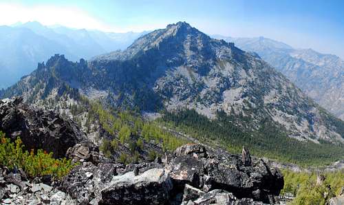
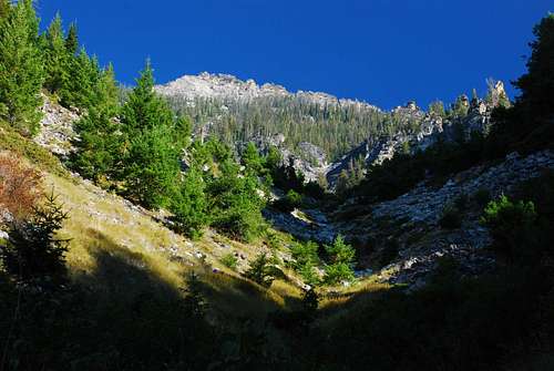
There are two routes which can be used to reach the summit of Mill Point West. Click on the links in the captions to these pictures to see their descriptions.
When to GoThe South Face Chute route, beginning from the Blodgett Creek Bridge, goes directly up an avalanche chute. That could make ascent with snow present rather dicey. Although I saw no evidence of recent avalanche activity in the chute, it only takes one avalanche to kill you. Be sure you know what you’re doing if you try this route under winter conditions. The Mill Points Connecting Ridge route from Mill Point is probably a safer route with snow on the ground. However, snow will make it more difficult and dangerous. In the winter I would not attempt it alone or without an ice axe and crampons. Many places along the ridge the slope is quite steep and snow could easily slide under the right conditions. Again, know what you’re doing. The best times to ascend this summit by these two routes are during the summer and fall when no snow is on the ground or in the weather forecast. |


