-
 15191 Hits
-
 71.06% Score
-
 1 Votes
|
|
Trailhead |
|---|---|
|
|
46.26866°N / 114.24229°W |
|
|
ravalli |
|
|
Spring, Summer, Fall, Winter |
|
|
4263 ft / 1299 m |
Climbers’ Access to Mill Point, Mill Point West, Hauf Peak, plus Blodgett and Shattuck Mountains
Blodgett Creek TrailheadBlodgett Creek and Canyon are named for Joseph Blodgett who was a packer in the Bitterroot Valley in 1862, this according to the journals and letters of Major John Owen. Blodgett later settled along the creek. The previous name was George Red Crow Creek, a Nez Perce who lived along the creek.
In Hamilton, Mt, drive west on Main Street (out of the downtown area) until you reach the bridge over the Bitterroot River.
Just past (west of) the bridge, turn right (north) onto Ricketts Road and drive for .5 mile.
At the intersection (3-way stop), turn left (west) onto Blodgett Camp Road.
Stay right at the intersection with FS 735 in about 2.5 miles.
Continue for about 1.5 miles to the combined Blodgett Creek Campground and Trailhead.
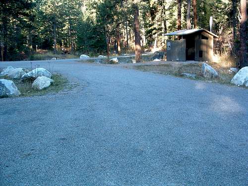
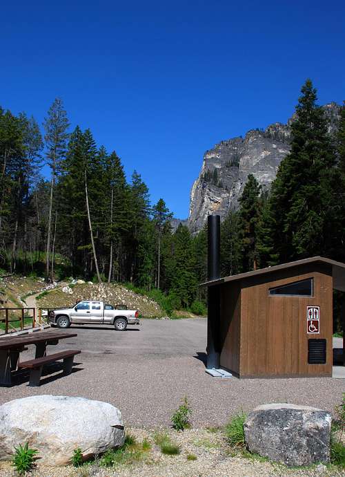
On your left is parking for a couple of dozen vehicles, stock handling facilities, and an outhouse. This is the trailhead for Blodgett Creek and Canyon.
If you continue along the road (past the first parking area), you cross a bridge and come to a second parking area on your right.
This is where you park if you plan to climb Mill Point using the "standard" route.
Going past the parking lot takes you to the Blodgett Creek Campground.
For information about the climbers' routes accessed from this trailhead, see the links included in the following pictures' descriptions.
 |
|---|
 |
|---|


