-
 15185 Hits
-
 78.27% Score
-
 9 Votes
|
|
Mountain/Rock |
|---|---|
|
|
45.71755°N / 114.46581°W |
|
|
Ravalli |
|
|
Hiking, Bouldering, Scrambling, Skiing |
|
|
Spring, Summer, Fall, Winter |
|
|
7722 ft / 2354 m |
|
|
Overview
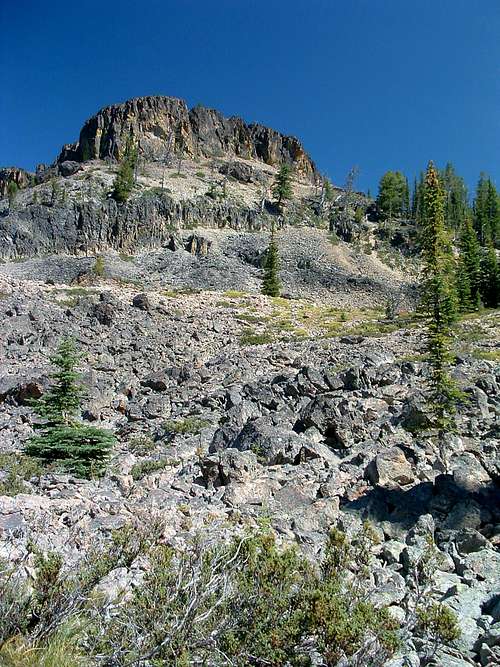
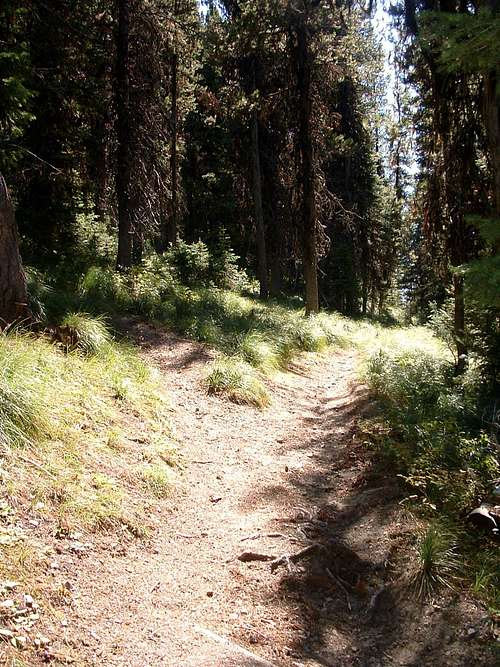
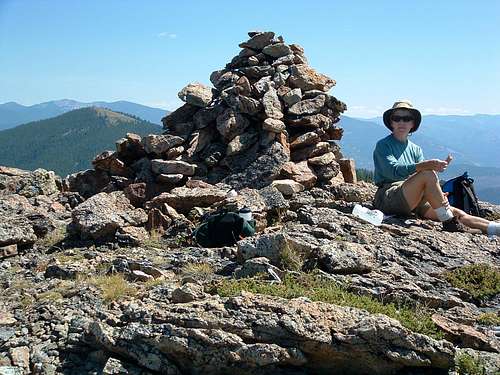
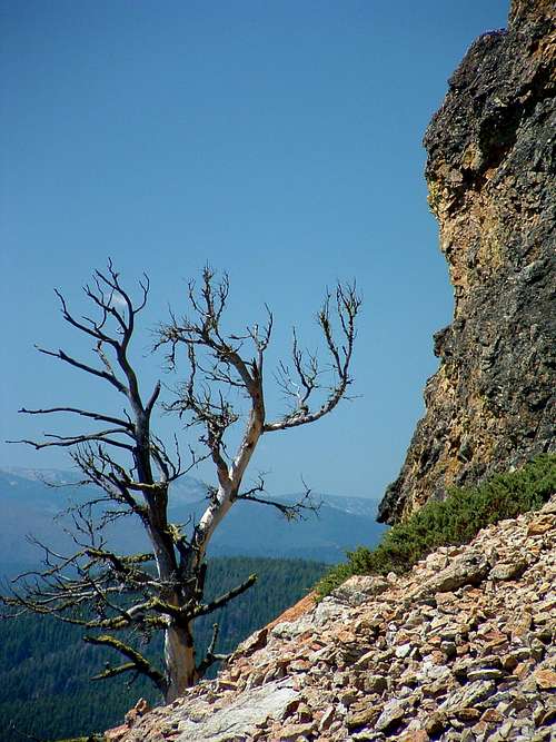
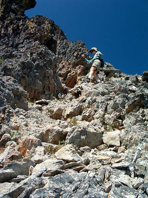
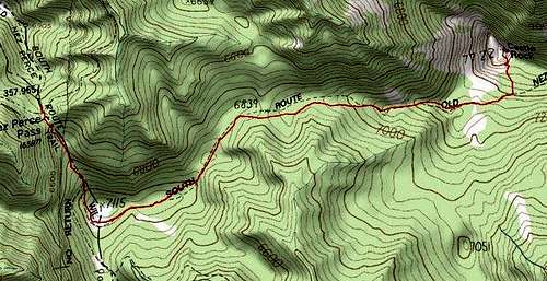
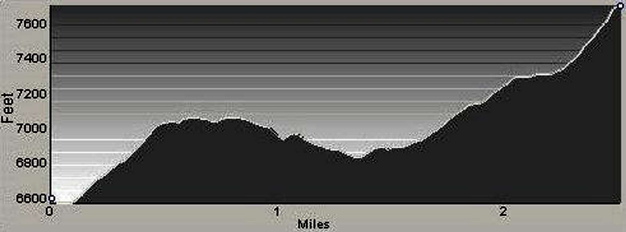
Elevation – 7,722’ Route Types – Hike Class Level – Class 1 Length of Time Required to Complete the Route – Half a Day Castle Rock is located in Montana, within the Blue Joint roadless area, and close to the Nez Perce Pass on the Idaho border. The route most often used to reach the Rock follows the southern Nez Perce Trail as it heads east from the pass. Though only a small portion of the wilderness can be seen from the top of Castle Rock, one gets real a sense of the vastness of the wilderness that surrounds the area. It requires little more than a hike to reach Castle Rock, but this core of a long extinct volcano, has much to offer those interested in practicing their climbing skills - technical or not. Magruder Road Corridor
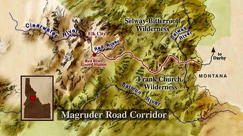
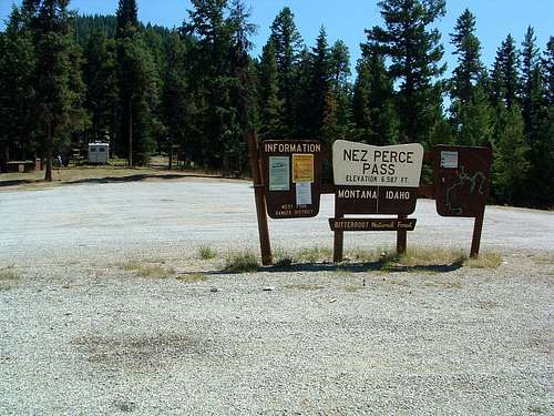
The road has changed little since its construction by the Civilian Conservation Corps (CCC) during the 1930s. It has been known be several names, such as The Southern Nez Perce Trail, The Elk City to Darby Road, The Montana Road, and The Parker Trail. The corridor was created in 1980 when the Central Idaho Wilderness Act was passed, leaving a unique road that enables a traveler to drive through and between two wildernesses: the 1.2- million-acre Selway-Bitterroot Wilderness to the north, and the 2.3-million-acre Frank Church-River of No Return Wilderness to the south. Together, these two Wildernesses represent the largest unroaded block of land in the lower 48 states and are cover nearly twice as much land as the combined states of Delaware and Rhode Island. This primitive one-lane road is rough, steep, and winding with few turnouts for dealing with oncoming vehicles. It is suitable for high-clearance vehicles, pickup trucks, motorcycles and mountain bikes. Travel time varies, but it takes eight to ten hours to travel from Red River to Darby without rest stops at an average speed of 12-15 miles per hour. Getting ThereDrive 14.3 miles on the West Fork Road, then turn right (south-southwest) onto Nez Perce Road (468). For the first several miles this road is paved, then it turns to gravel for several more miles before again returning to pavement. Follow the Nez Perce Road for 16 miles to the Nez Perce Pass and the trailhead for Castle Rock. There is a large paved parking area (don’t park on the Forest Service Helicopter pad), though you may want to park near the stock area if you want shade. An outhouse and stock facilities are available at the trailhead. Red TapeThere are no user fees for this area. The usual regulations for use of the National Forest and Wilderness areas apply. CampingI saw no true camp sites either at the trailhead or along the trail. Though there is no water available, I suppose some may want to camp in the area. Such activities are not prohibited.Route DescriptionThere is no sign making the junction, but there is a sign several yards along the correct fork (left) indicating Castle Rock. You must keep a sharp watch for this junction where the Castle Rock Trail leads uphill to your left. It’s quite easy to miss. Turn left at the junction and continue up the incline to a pleasant meadow and a leveling off of the trail as it skirts the highpoint of the knob. Circling from southeast to northeast, the trail begins a long gradual descent through lodgepole pine and fir. About one mile before reaching Castle Rock, the trail begins climbing again in an easterly direction. Along this section of the route you get periodic glimpses of your destination. About 2.5 miles from the trailhead you arrive at the base of Castle Rock. If you intend to reach the summit using aids or by rock climbing, hike directly toward the remains of the core to this long-extinct volcano. Otherwise, continue along the trail a short distance toward the more gentle slopes of the southeast side. From there, it is an easy traverse and climb to the summit. You may see several widely-spaced cairns scattered in the area of the summit’s southeast, and easiest, corner. You can either attempt to follow these cairns or pick your own route. Though you may use your hands a time or two while climbing, I would rate the ascent to the summit as Class 2. That is unless you purposely make it more difficult. Essential GearReaching Castle Rock’s summit requires little more than hiking a short distance; no "special" gear is required unless you visit while there is snow on the ground. Then skis or snowshoes would be needed to keep from post-holing.When To GoYou can visit Castle Rock anytime of the year; however the Nez Perce Road is not plowed during the winter which would mean traveling the road on snowshoes or skis to reach the trailhead.Because the trail follows a ridge crest and the entire area is fairly heavily forested, there is little chance of avalanche danger along the trail. I also do not believe there are any places (big steep slopes) along the access road where an avalanche could occur. Route Statistics |


