-
 10437 Hits
-
 0% Score
-
 0 Votes
|
|
Trailhead |
|---|---|
|
|
45.71726°N / 114.50199°W |
|
|
Ravalli |
|
|
Spring, Summer, Fall |
|
|
6589 ft / 2008 m |
Climber's Access for Castle Rock & Nez Perce Peak
Drive 14.3 miles on the West Fork Road (from US 93), and turn right (southwest) onto Nez Perce Road (468). The Nez Perce Road starts out paved, turns to gravel, then back to pavement before reaching Nez Perce Pass.
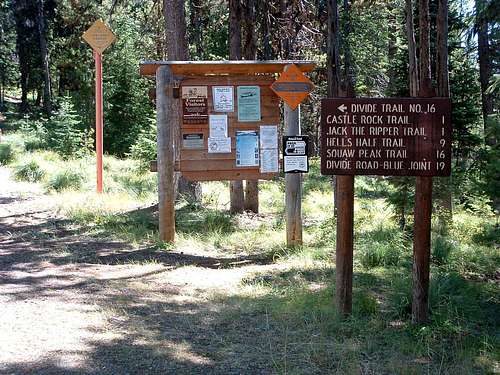
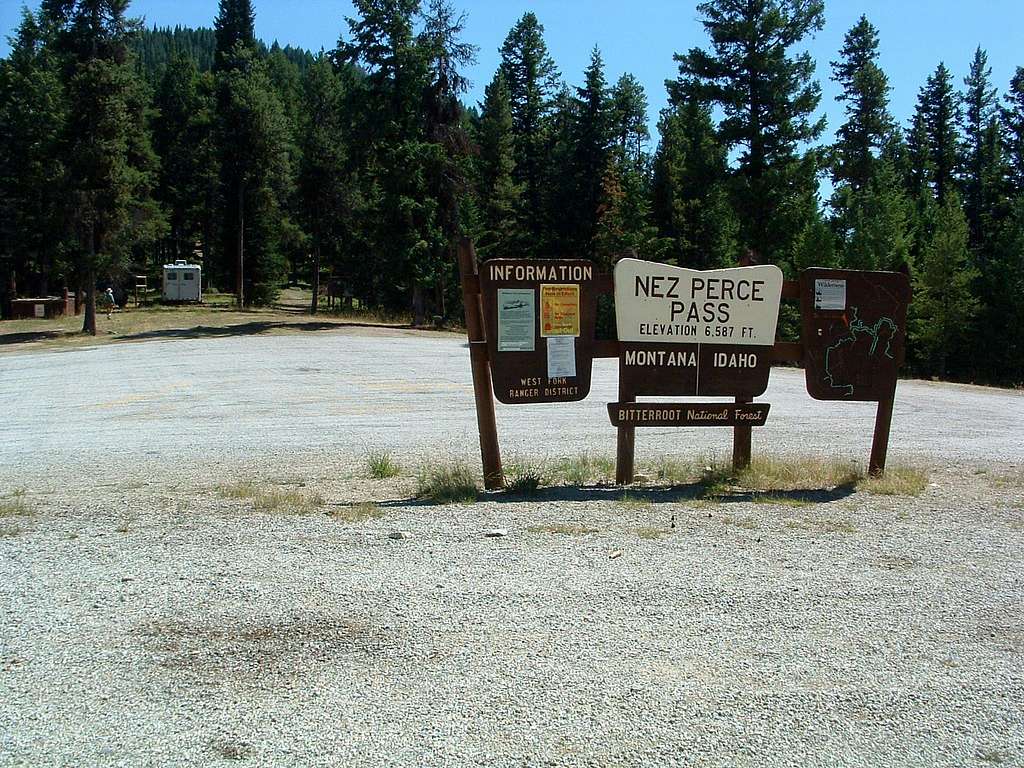
Once on the Nez Perce Road, travel 16 miles to Nez Perce Pass and the trailhead for Castle Rock.
You will find restroom facilities and an area for stock as well.


