-
 1678 Hits
-
 0% Score
-
 0 Votes
|
|
Mountain/Rock |
|---|---|
|
|
38.78519°N / 111.89284°W |
|
|
Sevier |
|
|
Hiking |
|
|
Spring |
|
|
7638 ft / 2328 m |
|
|
Overview
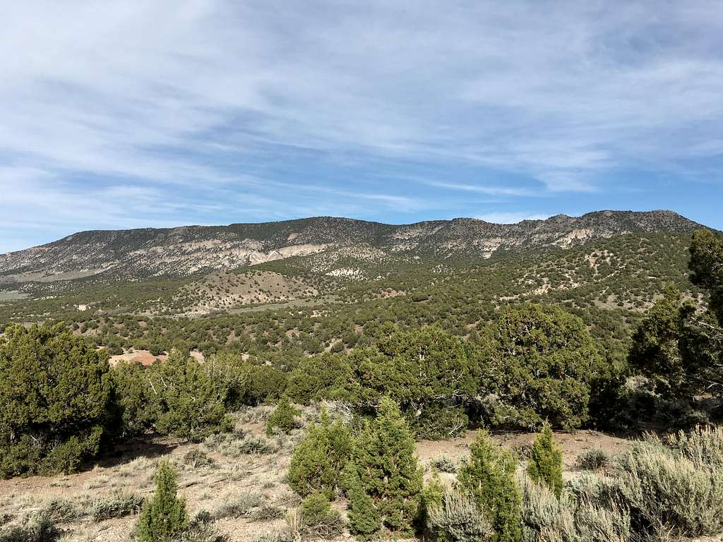
This is the highest crest of rock topped by juniper north of the Sevier Plateau that overlooks the Sevier Valley east of Glenwood and Richfield. The extensive network of dirt roads makes the approach quite easy. The views are great with the Pahvant Mountains, Fish Lake Mountains, Wasatch Plateau, and Sevier Plateau clearly visible from the dirt road to the summit.

Getting There
From Richfield, drive east on Highway 119 then take a right on Highway 24, which travels toward Koosharem. Turn left 4.8 miles south of the previous junction (there are 2 turn-offs separate by a hill; take the southernmost turn). Drive on the dirt road east for 1.6 miles then turn left. Stay on this dirt road for 5.8 miles until you get to a ridgeline with an amazing view of the northern portion of the Sevier Valley, Squaw Ledge, Carter Peak, and the Wastach Plateau. There should be a pullout and a OHV track traveling west from here.
Route
From the junction directly east of the summit, a dirt road with large boulders travels straight west to the summit plateau. Mountain bike or foot travel recommended.
Round-trip Distance: 2.5 miles
Elevation Gain: 161 feet
Red Tape
No permits or fees required.
When to Climb
Year-round though snow will likely make the roads impassable in winter.
Camping
There is a primitive campsite near the summit and in the area in general.

