-
 14017 Hits
-
 86.85% Score
-
 23 Votes
|
|
Mountain/Rock |
|---|---|
|
|
46.23329°N / 114.29969°W |
|
|
Ravalli |
|
|
Mountaineering, Scrambling, Skiing |
|
|
Spring, Summer, Fall, Winter |
|
|
8690 ft / 2649 m |
|
|
Overview
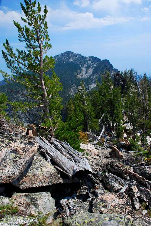
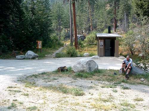
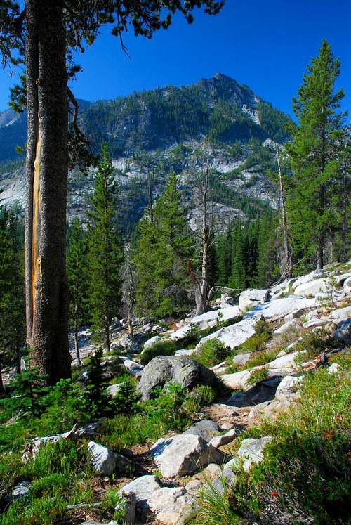
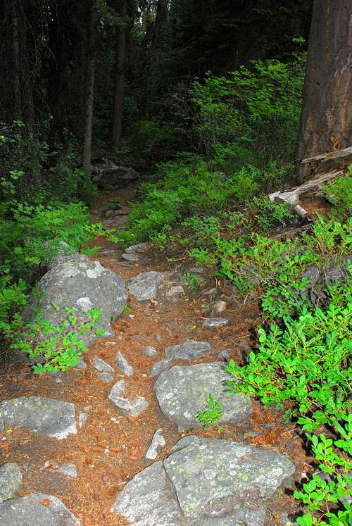
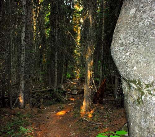
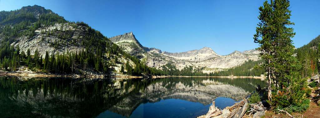
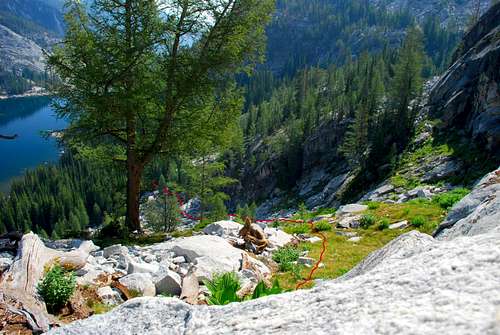
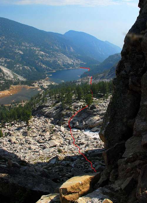
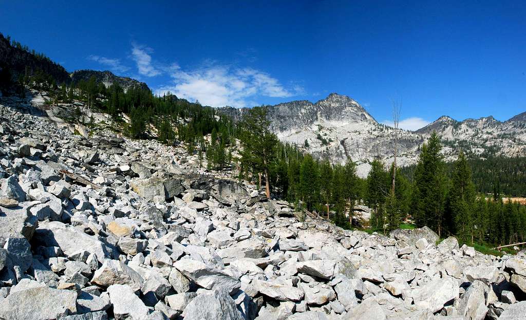
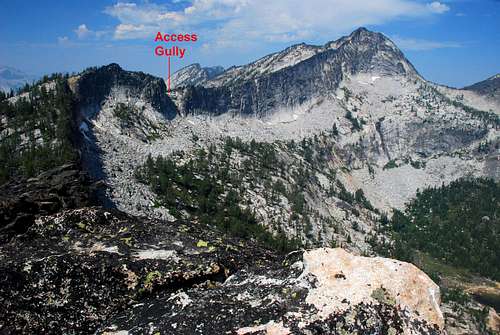
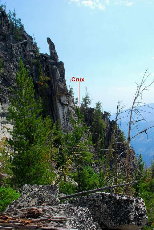
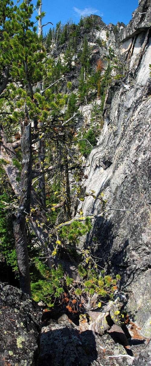
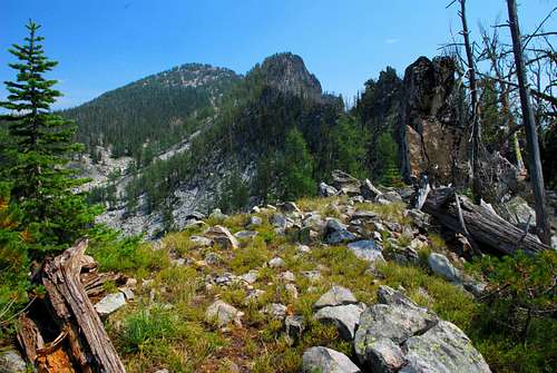
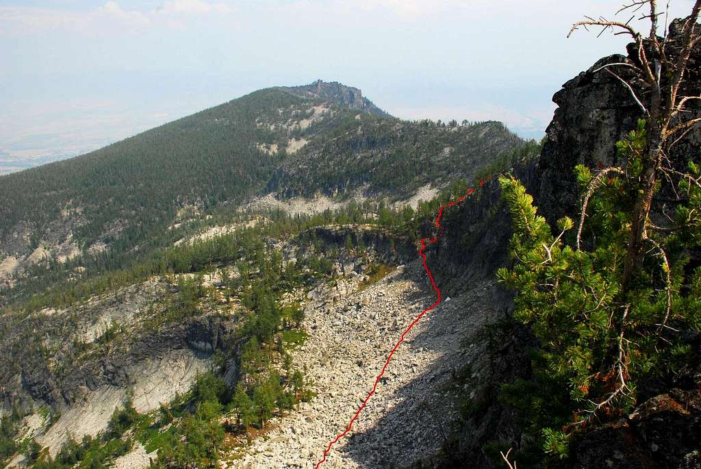
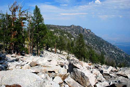
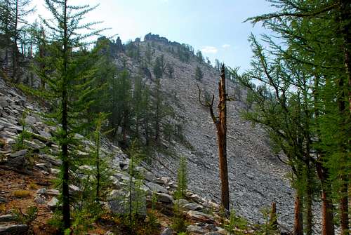
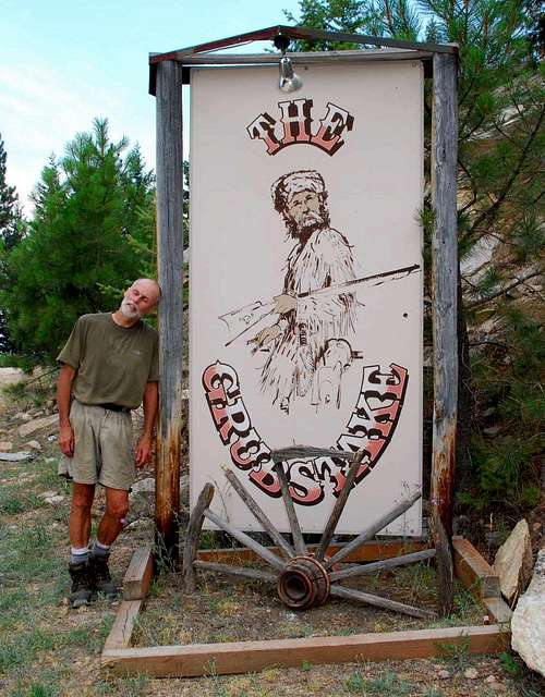
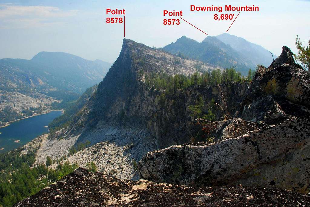
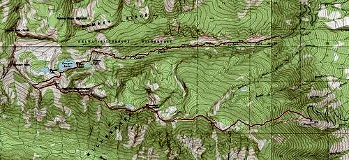
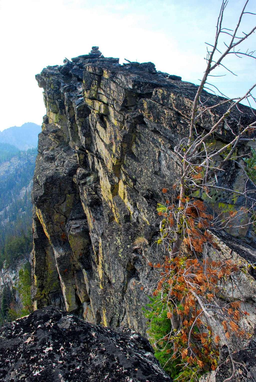
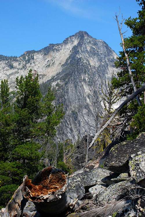
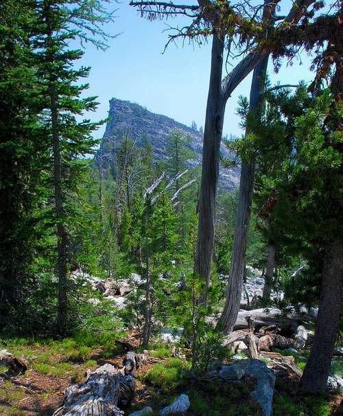
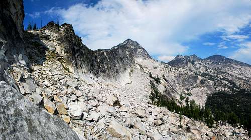
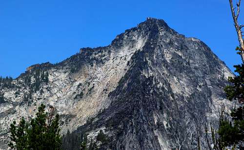
Route Type - Scramble Elevation – 7,990’ (lowpoint on ridge) to 8,690’ (Downing Mountain) Class Level – Class 3 and 4 (a few Class 5 moves required) Length of time required to complete route – one day Downing Mountain is about 6 miles west-southwest of Hamilton, Montana, a recognizable landmark looming over the city. Its most recognizable feature from the Bitterroot Valley is a large avalanche chute on the east face. A small bump on the north ridge of the avalanche chute is home to a restaurant, The Grubstake. The views from the dining room and the surrounding deck are extraordinary. The food may not be considered world-class by some, but is good enough to attract a dedicated clientele who return for more. Unreachable when snow covers the roads, The Grubstake is only open from May through August. As one of the highest points in the area which is reached by electric service, a spot just above The Grubstake (5,500’) is home to transmission towers for radio, cell phone, and wireless network. When trouble strikes those towers during the winter, repairmen reach them using snow cats and snowmobiles. The towers are not visible from elevations higher on the mountain. But it you happen to get in trouble high on Downing or several other of the surrounding peaks, because of those towers, help is just a cell phone call away. Getting ThereCanyon Creek Trailhead Go west on Main Street in Hamilton, MT. As you leave town you will cross a bridge over the Bitterroot River. Immediately after crossing the bridge, turn right (north) onto Rickets Road. In about a half mile you will come to an intersection. Turn left (west) onto Blodgett Camp Road. Drive on Blodgett Camp Road (it will shortly turn to gravel) for about 2.5 miles where you will reach a clearly marked intersection. Turn left (west) onto the gravel road which dead-ends at the Canyon Creek Trailhead in another couple of miles. There is ample parking at the trailhead, and since the spring of 2006, an outhouse. Area Restrictions (Red tape)Most of this route is in official Wilderness. All area wilderness rules apply.CampingThere are several camping sites available at Canyon Lake, most of them near the northeast corner.Just below the point where I climbed onto the Downing Mountain ridge-crest (and along the route I used to access it) there are a couple of nice meadows containing small streams which would make nice camping areas. Due west of Downing Mountain’s summit and north and below Point 8401 is a high unnamed lake. There is a sizable area around the lake which looked good (from the ridge-crest) for camping. Obviously a down-climb would be required to reach it. There is another high unnamed lake along this route on the north side of the ridge-crest a little east of the last and most-visited highpoint, Point 8454. The down-climb to this lake would be over talus, but did not look very difficult. Keep in mind that this is a point-to-point route which would require that you carry your camping gear all the way. As the route is tedious and difficult most of the way, I certainly would not recommend such a thing. The bushwhacking through the last section of the route before reaching the Grub Steak is especially difficult and requires climbing over more deadfall than a person ever wants to see. Camping? Don’t do it for this route! The Route - Point-to-Point (Canyon Creek Trailhead to Grubstake Restaurant)Begin hiking west along the Canyon Creek Trail as it follows the creek upstream through fairly thick woods. Receiving only moderate use by local hikers to reach Canyon Lake, the trail is not always in a perfect state of repair. But, as of this writing it’s in pretty good condition with little deadfall blocking the way; however the footing is poor in places as the trail winds its way over exposed tree roots and rocks. Initially there is little to see other than an occasional glimpse (through the trees) of rocky spires high on the canyon walls. At around 3.25 miles from the trailhead, the track begins to traverse up the north canyon wall using a series of rather steep switchbacks. This is the first place which allows good views of the surroundings. Reaching its apex above Canyon Falls at just over 7,400’ (4 miles from the trailhead), the trail begins a descent toward Canyon Lake. It passes just north of East Lake, a small rather uninteresting tarn, along the way. After descending 100’, the track reaches the northeast corner of Canyon Lake. Note: The gully which is the entry point to the ridge-crest is clearly visible from the lake. Take a few minutes to study the landmarks around it. The lower portions of the of the climb from the lake to the ridge require bushwhacking and you will not always be able to keep the gully in sight. Studying the lay of the land before you begin bushwhacking will help you keep on route. Head south across the dam at the east end of the lake (elevation 7,300’) then work your way along the south shore toward the southwest corner of the lake where the outlet stream from Wyant Lake flows into Canyon Lake. There are several large granite rock outcrops along this shore. Your best route will likely be bushwhacking through the woods above the trees. Note: depending upon when you visit, the water level in the lake may be low enough to allow you to walk over dry lake bed all the way to the inlet from Wyant Lake. If so, that is preferable to bushwhacking through the woods. One hundred or so feet (in elevation) above the lake, the woods begins to thin and the route crosses a mixture of grass and talus. To the left (south) you will see granite slabs, seemingly flowing from the canyon wall. Stay below these slabs for better footing. By elevation 7,800’ you will be able to see the notch in the ridge-crest which contains the gully you want. From this point on, your track should follow a fairly straight line (west-southwest), meandering only when required to avoid obstacles. Hugging the canyon wall as you near the gully will dump you directly into the bottom of the gully. It’s an easy climb with solid footing over talus and boulders to the top of the gully and its intersection with the ridge at an elevation of 8,420’ (46.23942 N / 114.34524 W), 6.3 miles from the trailhead. Climbers’ Trail – Top of Gully to the Grubstake Between the top of the gully and your destination at the Grubstake Restaurant, there are four summits (3 unnamed, officially) and several highpoints. Traveling this ridge is an arduous endeavor which requires plenty of route finding, well-developed climbing skills, and serious stamina. Follow the ridge-crest eastward toward Wyant Peak (point 8578), the first of the four summits along the ridge. It’s about a half mile from the gully access. The terrain is a mixture of talus and rock outcroppings interspersed with Larch and Whitebark Pine. The going along this section of the ridge is not particularly difficult. Descend from Wyant Peak in a southeasterly direction over talus to a saddle (elevation approximately 8,250’), where the ridge-crest turns to the east. Along the way to Point 8573 is an additional highpoint where a buttress rises to meet the north side of the ridge. Though I chose not to visit during my outing, I estimate the elevation of the highpoint to be over 8,500’. I stayed to the south of the highpoint as I contoured (just above 8,400’) toward Point 8573, sometimes referred to as Downing Mountain West. Just before reaching Point 8573, there is a fairly deep notch in the ridge-crest. I consider passing this notch the crux of the route. Looking across the notch (to the east) you will see a narrow gully reaching the top of the rock outcropping blocking your path. Down-climb into the base of the notch (lower Class 3) and proceed to the base of the gully. Climb the gully using the well-anchored trees and shrubs as handholds when required. Though I rate this gully at only upper Class 3, you may find your body contorted beyond belief a time or two before you reach its top while you work your way around and through rocks, trees, and shrubs. When you reach the top of the gully, you are greeted by a nice field of talus. Traverse along the talus (south side of Point 8573) contouring to your left (north) and regain the ridge-crest. If you wish, backtrack (west-northwest) along the crest of the ridge and bag your second highpoint. Otherwise, staying as close to the ridge-crest as possible, begin descending toward the lowest point on the ridge (approximately 8,000’) between your access point and the Downing Mountain summit. As you walk down the ridge toward the saddle, study the ridge leading to the summit. You’ll notice a couple of pretty big outcroppings blocking the ridge. It may be possible to climb over them by staying close to the ridge-crest. Note: If you are running out of water, this is the perfect spot to begin a descend to a small lake directly north of Point 8401. Pick a line over the talus which covers the north side of the ridge and traverse to the lake (elevation 8,050’). It’s a fairly easy climb of 640’ from the lake up a field of talus to the summit area of Downing Mountain. I didn’t stay on the ridge-crest. Instead, I dropped partway down the left (north) side of the ridge and traversed on grassy ledges and talus to a spot just below and north of Point 8401. From there, using a series of gullies, I climbed almost straight up toward the ridge-crest until I reached a nice grassy ledge which allowed me to bypass the actual highpoint of Point 8401 and traverse back to the crest of the ridge. This particular spot on the ridge is very narrow (less than two feet) but quite short (thirty or so feet). Reaching the summit area of Downing Mountain from here is a fairly easy uphill walk over talus. Rather than stay directly on the ridge-crest, I picked a more direct line along the north side of the ridge where the woods seemed to be more widely spaced. The actual summit of Downing Mountain is on a large rock outcrop. There appear to be several ways to reach it, all of which look like they require Class 4 climbing with plenty of exposure. As it descends from the summit, the ridge-crest to the remaining (and last) highpoint, is littered with rock outcrops. I decided to (again) drop from the ridge into the cirque north of the summit and traverse over the talus toward the last remaining saddle. As you walk across the talus, on your right (south) you will see an obvious gully descending from the ridge. Using this gully, climb to the top of what at first appears to be the ridge is actually a small buttress to the ridge. That it is a buttress will be confirmed when you reach its crest. Note: Several lower Class 5 moves are required to reach the top of this gully. This provided the most difficult climbing of the day. The only reason I don’t consider it to be the crux, is that if the earlier gully (which I did call the crux) is not found and navigated, the remainder of the route cannot be completed. Traverse south-southeast back to the crest of the ridge over an easy grass slope. From there it is an easy hike to the east along the ridge-crest over Point 8380 then on to Point 8454 (your last summit of the day). Again, the summit of Point 8454 is on a narrow rock outcrop. Marked with a cairn visible from below, this is the summit on the Downing Mountain ridge which is most-visited. In fact, most who venture here mistakenly believe it to be the summit of Downing Mountain. Though you’ve reached the final summit of the day, your adventure is far from over. Descend southeast from Point 8454 along the ridge-crest until you near a saddle. Traverse along the north side of the ridge in a east-northeast direction. (I traversed in a northeast direction which took me too far north. If you stay in the more open area of talus, you can avoid repeating my mistake.) After passing over a small rise, the route begins descending through fairly open woods. As you descend, the grade steepens and the woods thickens, so that eventually, it is almost impossible to see where you are going. At an elevation of about 6,800’ the ridge gradually splits. The left side of the split (the more prominent of the two) gradually heads north and into extremely thick woods. The right side of the split runs in a more easterly direction along the north side of a large avalanche chute.. It is imperative that you follow the ridge which runs along the avalanche chute; otherwise you will miss the Grubstake and end up in the middle of nowhere. As you continue to descend, stay close to the avalanche chute. If, as I did, you venture too far to the north (left), you will be forced to endure some of the most horrendous bushwhacking ever. There is so much deadfall and undergrowth among the Lodgepole Pine, it was nearly impassible. Staying close to the edge of the chute will minimize, though not eliminate, the amount of deadfall. Note: This is (black) bear country. They are known to visit the Grubstake restaurant almost every day, looking for garbage. Whether they find it or not, I don’t know. But they keep looking. Knowing this, I was on the lookout for bears, that is until I entered the section of woods filled with deadfall. I was making so much noise (including plenty of profanity), I knew any self-respecting bear (the only kind we have in the Bitterroots) would vacate the area posthaste. As you descend, the woods begins to thin at an elevation around 5,600’. You will see signs of humans, and eventually, a trail which quickly turns into a roadbed. Follow this road downward and it will take you to the area filled with transmission towers and equipment. Stay on the road a little farther and it will dump you on the doorstep of the Grubstake Restaurant. Dinner awaits. More Route Comments This was one the most arduous climbs I have completed. That the temperatures were in the 90s and the sun relentlessly shining from a relatively cloudless sky didn’t help much. Working along the Downing Mountain ridge-crest required constant route finding, something which I found mentally demanding and quite exhausting. Whenever I was forced to perform Class 4 and 5 climbing, I felt it necessary to first rest, attempting to regain my mental focus. Once I began the descent toward the Grubstake, the deadfall in the thick woods tested my endurance to the limit. Clean, and comparatively scratch free until then, I emerged from the woods almost as filthy as a coalminer and with many more nicks and scratches. It was a day I’ll not soon forget. When to GoIt’s possible to visit the summit of Downing Mountain any time of year. I know of one person who made the trek last winter (2006-2007), though not by this route.If you plan to use this route, make arrangements to do it when there is either no snow on the ground or after it has consolidated considerably in the spring. The portion of the route from Canyon Lake to the ridge-crest passes through an avalanche area, so keep that in mind if you plan to travel during avalanche-prone conditions. Essential gearUnless you plan to travel on snow, all that is needed for this route is a sturdy pair of hiking boots, along with plenty to eat and drink. This is a very strenuous route. You will need to ingest lots of calories during your trek.No water is available on the route from when you reach the ridge-crest until your reach the Grub Steak. That is, unless you’re willing to leave the ridge-crest and down-climb to one of the high lakes along the north side of the ridge, or, once having descended below 6,500’ (east of Point 8454), you want to bushwhack directly south into the avalanche chute for water out of the North Fork of Owings Creek. My advice? Take plenty of water with you – as much as you can carry. Route Statistics
Album of Additional Pictures |


