
-
 9855 Hits
-
 72.08% Score
-
 2 Votes
|
|
Route |
|---|---|
|
|
28.56880°N / 17.8378°W |
|
|
Hike, Scree Scramble |
|
|
A long day |
|
|
Walk-Up (and Down) |
|
|
Approach
See the Getting there info on the main Page. The trailheads are at Rifugio del Pilar in the north and at Faro de Fuencaliente in the south. To reach the Faro, head for Los Canarios. In the town turn onto LP-130 which winds to the southern tip of the island, at Faro de Fuencaliente.Route Description
- Start altitude: 0m
- Summit altitude: 1945m
- Prevailing exposition: S
- Type: 10-12h
- Protection: marked
If you want to do the Ruta de los Volcanes trekking trail without connecting it to Ruta de la Cresteria, the trekking trail around Caldera de Taburiente, the reasonable starting point is Rifugio del Pilar in the north. The rifugio is located at the connection of Cumbre Vieja and Cumbre Nueva at an elevation of 1455m. For those who want to to the trekking double however the Faro is the best starting point. At 1200m you reach Fuente de los Roques, the first possible overnight location, a 6h ascent from the Faro.
I will describe the ascent from Faro de Fuencaliente mostly because I have done the Ruta de los Volcanes trail in this direction. I did it in three unconnected stages which I will describe below.
Stage I: Faro de Fuencaliente – Los Canarios
Duration: 4hThis stage has already been described in the ascent routes to Volcán Teneguía (south, north) so that here only a short abstract follows:
From the Faro follow trail GR131 – Ruta de los Volcanes which shortcuts the access road to the lighthouse. A beautifully kept trail crosses the lava flows of Volcán Teneguía (dating back to 1971) reaching the north-eastern side of this first volcano. After sidestepping to the summit follow a dirt road along the south-western slopes of Volcán San Antonio. You’ll reach Roque Teneguía an archeologically interesting location (rock drawings) before the trail heads eastward for the San Antonio visitor’s centre. Another side step to San Antonio’s summit and you’ll have to head onwards along a road towards Los Canarios.
 |  |  |  |  |
Stage II: Los Canarios – Volcán de la Deseada
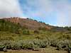
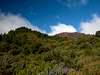
Duration : 4hHere the fun really starts. At first you cross one of the most beautiful pine forests there is. The Ruta de los Volcanes soon crosses GR130, the island round trek (at about 850m) and heads for Montaña del Pino. This is the last outpost of civilization for the rest of the trail, a volcano with a TV-tower on top.
Rota de los Volcanes now leaves the direct ridge trail and heads for the eastern slopes of Montaña del Fuego. There you can find the Zona Recreativa Fuente de los Roques, which can be used for overnight accommodation. There is running water, there are restrooms, but that is all.
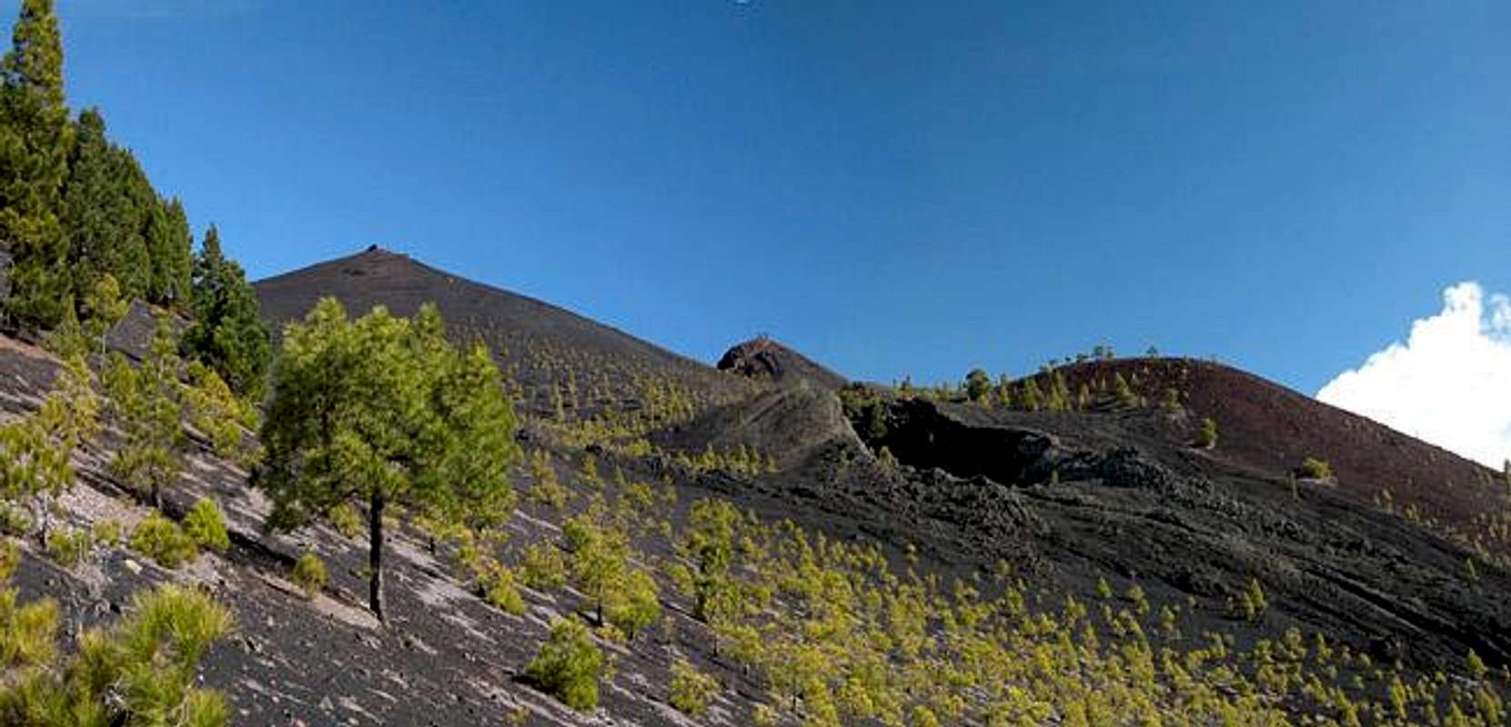
From the Zona Recreativa the trail circles Montaña del Fuego. Be sure to scramble to its top for the views of Volcán Martin and Teide on neighbouring Tenerife. Montaña del Fuego is a rugged volcano with a deep crater, which is overgrown by pines. The summit view is a truly impressive experience.
Shortly after Montaña del Fuego the trekking trail leaves the pine forest for the vast desert like slopes of Montaña Pelada and Volcán Martin. The latter erupted in 1646 and though 350 years have run its course the slopes still are barren without any vegetation. While Montaña Pelada is passed on its eastern side Ruta de los Volcanes heads for the northern slopes of Volcán Martin from where the summit (and the crater – both are worth visiting) can be easily reached.
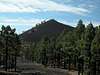
From Volcán Martin the trail climbs further onwards to Montaña Cabrera, Caldera del Bùcaro and Volcan Cabrito. All three are passed but could be easily climbed. Plan about one hour more if you want to reach their tops (which is in principle not allowed in the natural park). After you pass Vplcán Cabrito on its western side and reach Montaña Negra you’ll get the first view of the Deseada summits. Both rise out of a pine forest which here again is relatively dense. The trail makes an S-turn and finally heads for the point between the two summits. The right (eastern) summit, Deseada I is the higher one but the decision which summit to climb should be made according to the wind direction. Always take the summit from where the wind blows. The inner (crater) slopes are steeper and offer better protection against the wind.
 |  |  |  |  |
Stage III – Volcán de la Deseada – Rifugio del Pilar
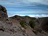
Duration: 4hThe final stage of Ruta de los Volcanes leads across the high ridge of the Cumbre Vieja. Weather here always is a problem and you must take it into account. For most of the stage there are two possible trails – one across the ridge and one to the east of it. The latter is Ruta de los Volcanes. In clear weather you will most certainly leave the Ruta for the much more impressive ridge trail. There are several locations were both trails meet again. Keep this in mind in case of sudden bad weather. In good conditions the ridge trail is easy to find, most of it runs along the cinder cones of Montaña de los Charcos, Montaña la Barquita and Pico Birigoyo. In foggy conditions the scree fields lack distinctive features and you can get lost easily. Head down (westward) to Ruta de los Volcanes, which is very well marked.
From Volcán de la Deseada you can take two trails, one touches the giant Cratér del Duraznero on its western side, the other descends some 100m and join the Duraznero trail north of the Crater. The combined trail now negotiates a moderately exposed sections above the impressive Lavas La Malforada lava field before it climbs in the direction of Pico Nambroque. Sidestep to this summit, which is unique among the Cumbre Vieja Volcanoes due to its basalt features and funnel systems.
Ruta de los Volcanes now passes Cráter del Hoyo Negro, another huge deep hole in the ground before a “final” decision has to be made for the Ruta or the ridge trail. The ridge naturally is much more attractive, especially since the Ruta heads through pine forests which are rather dense. It is a constant up and down and keep in mind that the whole trail runs along cinder fields. The final ascent to Pico Birigoyo is rather steep but the descent to Rifugio del Pilar even more so. On the Birigoyo summit as well as along the whole descent you have perfect views of he Caldera de Taburiente across the Aridane Valley.
 |  |  |  |  |