
-
 3675 Hits
-
 76.66% Score
-
 7 Votes
|
|
Route |
|---|---|
|
|
46.35035°N / 13.44834°E |
|
|
Hiking, Scrambling |
|
|
Summer, Fall |
|
|
Most of a day |
|
|
Overview
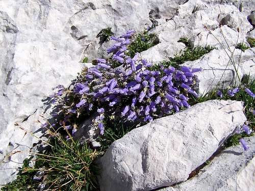
Zois' Bellflower
I recommend this route for those who want to climb Kanin without using the cable car (because it is against their principles or due to any other reason). This route is long but in good weather conditions it has no technical difficulties.
The Trailhead(s)
Veliki Skedenj
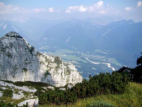
The valley of Soča. You must ascend from there
Route Description
This is the most pleasant part of the route

Veliki Skedenj
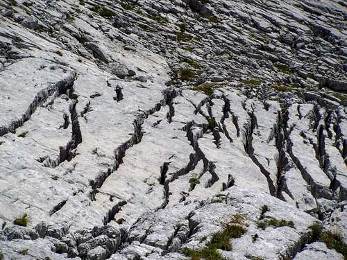
Like an ancient script
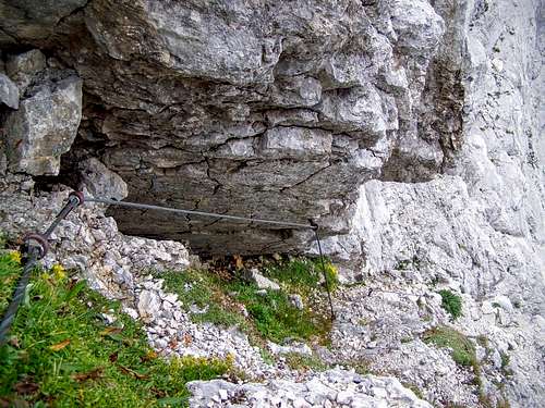
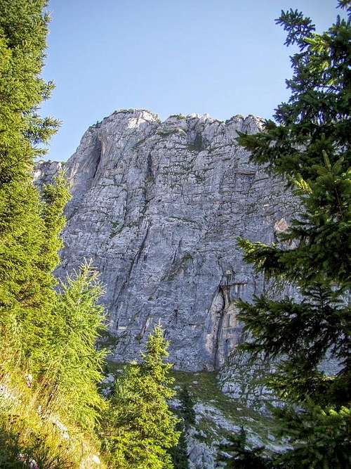
Secured route on the south east slope of Kanin
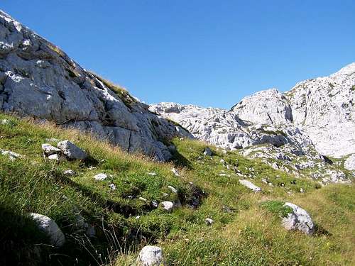
After crossig the plateau the path starts to ascend again. The path crosses the saddle between Mail Kanin (2572 m) and Visoka glava (2311 m). Before the saddle you can find again a side path that leads to "Pod Kaninom". The junction is not marked. Not easy to find the right way here. If you don't focus at this place, you can find yourself on the path leading to "Pod Kaninom" instead of continuing the route towards Veliki Kanin. At this section there are snow patches even in August. In August the snow patches can be walked around. But it can be seen that in earlier months of the year the hikers must cross some snow patheches. After the last and biggest snow patch you must cross an unpleasant scree. After crossing it, you arrive to the last section of the route. It is a short and steep section. This is the south eastern side of the Kanin peak. Initially the route goes in gully. You can expect here falling rocks. The most exposed parts are secured with cables and pegs. After the gully you must turn right. Here it is still an exposed place. In good dry weather conditions it is not tricky. Though in icy conditions it can be dangerous as this section is not secured. This last unsecured section is not more than 150 meter. And now you are on the peak of Visoki Kanin!
Essential Gear
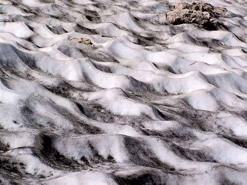
Snow patch on Kanin in August
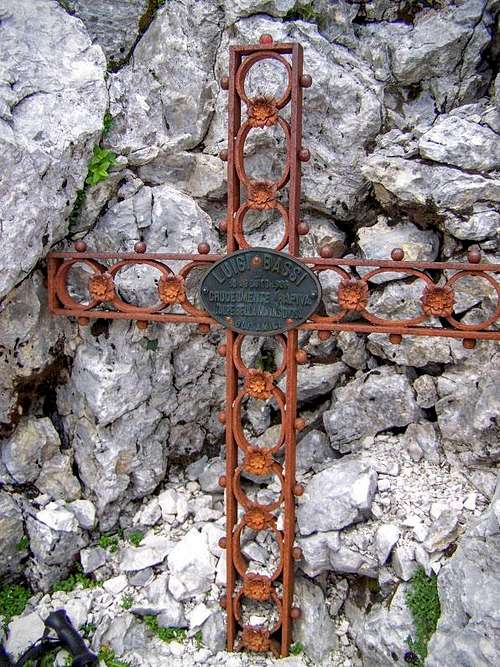
Kanin can be dangerous