-
 1715 Hits
-
 79.78% Score
-
 11 Votes
|
|
Mountain/Rock |
|---|---|
|
|
44.25108°N / 91.83193°W |
|
|
Hiking |
|
|
1250 ft / 381 m |
|
|
Overview
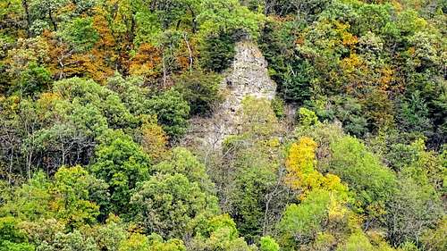
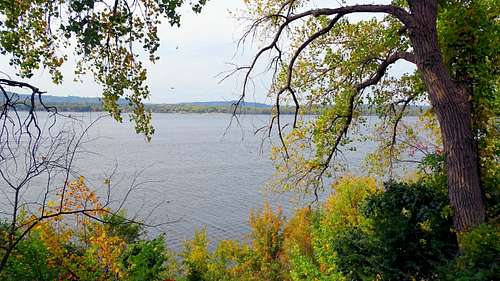
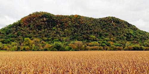
Huber Ridge is one of the highest and most prominent summits along the Mississippi River on the Wisconsin side of the border. According to Lists of John, Huber Ridge stands at 1,250 feet, with 400 feet of prominence. The only other Wisconsin summit along the Mississippi with greater prominence is Eagle Bluff, at Perrot State Park, 25 miles down the river. Huber Ridge does not boast a spectacular rock face like Maiden Rock, 30 miles to the north, and there are no spectacular summit views available to the public, due to private property at all locations with a view. So, what are the benefits for this hike?
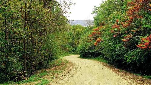
The attraction of this hike would be for anyone who wants to hike to the top of one of Wisconsin’s top twenty most prominent summits. An added benefit is a good workout with 500 feet of elevation gain the first mile through a beautiful forest – especially colorful in autumn. Further, there are some side benefits that might give some hikers reason to visit this whole area as well.
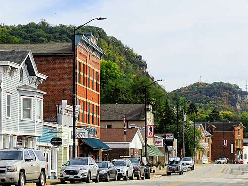
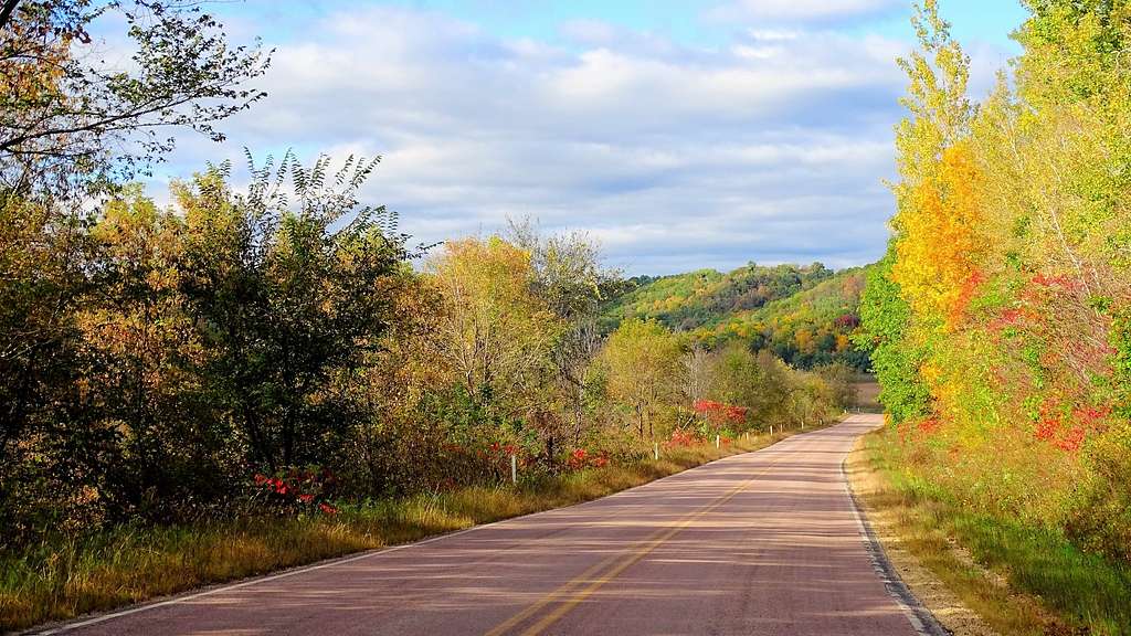
Highway 35 is known as the Great River Road, and is one of the most scenic drives in this part of the nation. This is especially true in the autumn. And there are numerous scenic options on the side roads along Highway 35, with interesting old historic ruins. In the little village of Alma, Wisconsin, just minutes north of Huber Ridge, is the Castle Rock Museum, where visitors are treated to quite an array of authentic medieval armor – an amazing collection to be found in a small village in America. Unique restaurants and shops abound along the Great River Road.
Getting There
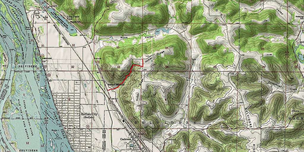
Huber Ridge is located just to the northeast of the town of Cochrane, Wisconsin and east of Buffalo, Wisconsin, on the east side of Highway 35, “The Great River Road”. It is accessible by way of Seifert Hill Lane, which is just over .1-mile north of the Highway 35 junction with North Main Street. There is not much room to park at the junction, but then there are not normally many hikers either. Please don’t park in someone’s yard, though.
Route Information
Seifert Hill Road is the only public route a person can hike up. It covers about 1.25 miles from Highway 35 to the summit, in which a person will gain over 500 feet in altitude. Most of the road is winding and graded nicely, and levels out about a mile up. At the junction with Rattlesnake Lane, turn left and hike about .2-mile north until you come to another junction with Seifert Hill Road branching east and west. It’s fairly level in that whole area, which the maps show as the highpoint on the ridge. If precise coordinates are essential to you, please bring your GPS. The Cream Quad USGS will be the map you would want for Huber Ridge.
Red Tape
Seifert Hill Lane runs through private property. Please stay on road and respect private property. The road is usually open, except for weather-related closures or occasional road maintenance. There is no camping right on Huber Ridge, so please check out the area camping links below.
When to Climb
Weather will likely be a factor in planning your visit. For the latest forecast and conditions, you can click on this link:
Huber Ridge Weather Froecast & Conditions
Hunting season considerations might also be a factor in your planning. For up-to-date Wisconsin hunting information, click on this link:
Wisconsin Hunting Season Information
Camping & Lodging Near Huber Ridge
Even thought there is no camping right on Huber Ridge, there are campgrounds not far away. Perrot State Park, 30 minutes south of Huber Ridge on The Great River Road, has some excellent camping facilities, along with some great hiking opportunities. You can learn more at their site: Perrot State Park Camping


Two other area campgrounds offer additional opportunities, and more information is available at these links: