
-
 5802 Hits
-
 79.29% Score
-
 11 Votes
|
|
Mountain/Rock |
|---|---|
|
|
32.47080°N / 110.7425°W |
|
|
Pima |
|
|
Hiking |
|
|
Spring, Summer, Fall, Winter |
|
|
7654 ft / 2333 m |
|
|
Overview
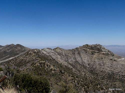
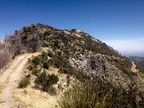
Approaching from the south
Rank: Unranked
Prominence: 234 feet
Planning Map: Green Trails Maps Santa Catalina Mountains #2886S
Rank & Prominence: Lists of John
Getting There
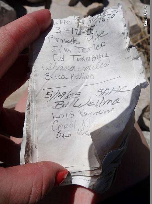
Summit register
Note that the highway is paved, but longer vehicles (22 feet or greater) or those towing a trailer may have difficulty negotiating tight curves.
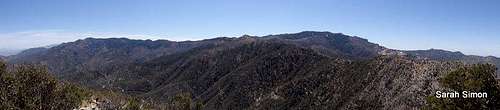
Summit Pano
Route
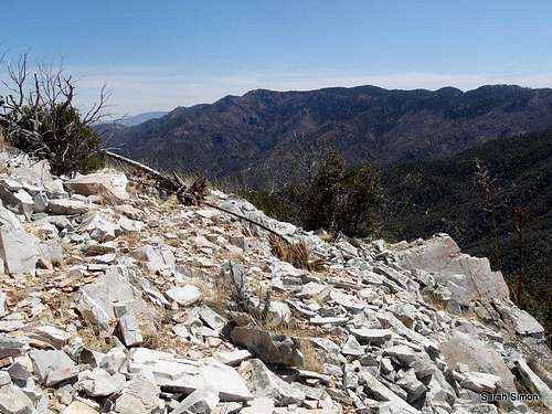
Along Oracle Ridge
Red Tape
Use of the Mount Lemmon area, including the Catalina Highway, is subject to a $5 vehicle / use fee.Visit this National Forest webpage for detailed regulations governing use of this area.
Note that the area immediately surrounding Marble Peak is marked on the map as private property. The Oracle Ridge Trail provides a public right of way through this area. While the mountain appears to have at one time been mined for – not surprisingly – marble, the more recent venture was copper mining at the Oracle Ridge Mine. While production stopped in 1996, efforts are underway to re-start small-scale, underground mining of copper below/within Marble Peak.
 East from the summit | 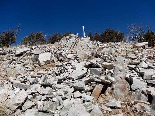 Toward the summit marker | 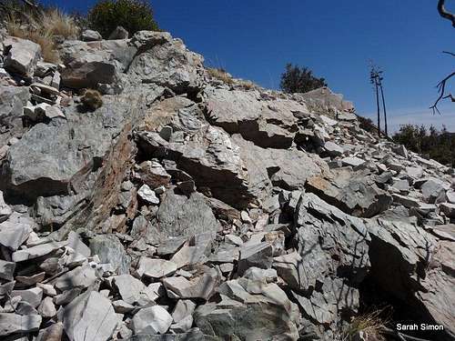 Rubbly summit |
Weather and Seasons

Blazing Arizona Sun
 | Marble Peak is a year round mountain. Predictably, spring and fall would be delightful times to visit this peak. In the summer, the heat blasting up from Tucson could make it hard to escape the heat, but at more than 7,600 feet above sea level, the peak offers some escape from the heat. Winter should typically be sunny and pleasant, but can be cold, windy and snowy. Occasional snowstorms slamming the Santa Catalina Mountains might close the “highway with many names,” or at least encourage the Forest Service to put a “4x4 or chains only” rule in effect. Before planning a trip to Marble Peak, I suggest checking the weather both for Tucson, Arizona, as well as for Mount Lemmon or Summerhaven, as the road to the peak will cover both extremes and everything in between. |  |
Mount Lemmon, Arizona -CLIMATE Source: http://www.wrcc.dri.edu/cgi-bin/cliMAIN.pl?az5732 Period of Record Monthly Climate Summary Period of Record : 9/13/1958 to 1/31/2010
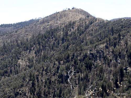
| 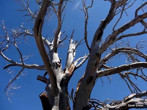 Damage from the Aspen Fire |
Camping
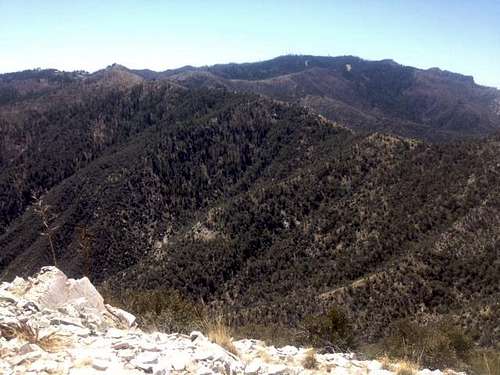
Approaching Marble Peak
Summerhaven Benchmark
• Molino Campground
• General Hitchcock Campground
• Rose Canyon Lake
External Links
Please share with me any trip reports or other valuable external information via Additions & Corrections.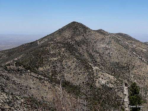
Oracle Ridge HP