
-
 8513 Hits
-
 80.45% Score
-
 13 Votes
|
|
Mountain/Rock |
|---|---|
|
|
32.33820°N / 110.7458°W |
|
|
Pima |
|
|
Hiking |
|
|
Spring, Summer, Fall, Winter |
|
|
5801 ft / 1768 m |
|
|
Overview
This pair of rock outcrops sits on the northeastern slopes of Gibbon Mountain
22 Nov 2012
The summit is not super-apparent and at the time of my visit was unmarked. There are three good summit candidates along the highest contours of the summit ridge, so enjoy visiting each rocky little top. Views from the wide-open summit area are lovely, especially big country views of Santa Catalina neighbors to the north and the northwest. From the top, enjoy gazing into the depths of Bear Canyon.
Rank: 2109th highest peak in Arizona
Prominence: 781 feet
USGS Quad: Aqua Caliente Hill
Recommended Map: Green Trails Santa Catalina Mountains, AZ – NO 2886S
Rank & Prominence: Lists of John
Getting There
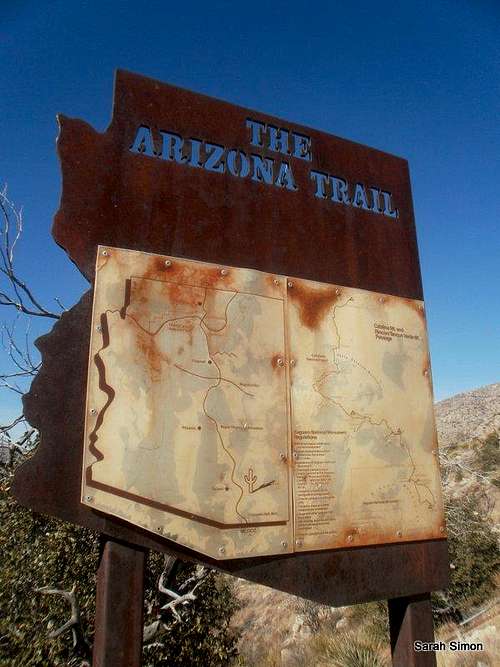
This sign for the Arizona Trail sits at the saddle at 5040 feet between Gibbon Mountain and UN 5506 | 22 Nov 2012
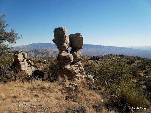
One of several great rock outcrops along the slopes to the top of Gibbon Mountain | 22 Nov 2012
Note that the highway is paved, but longer vehicles (22 feet or greater) or those towing a trailer may have difficulty negotiating tight curves.
Solider Canyon (Trail #53) or Bear Canyon (Trail #296) would be nice ascent options if wishing for a longer route with greater elevation gain.
Red Tape
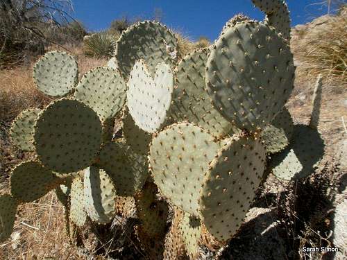
You may wish to carry a fine-tooth comb in your pack to remove spines from clothing and skin in case you bump into one of these | 22 Nov 2012
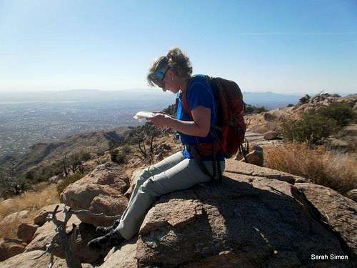
Enjoying sitting on one of the summit candidates on top of Gibbon Mountain | 22 Nov 2012
Visit this National Forest webpage for detailed regulations governing use of this area.
Camping

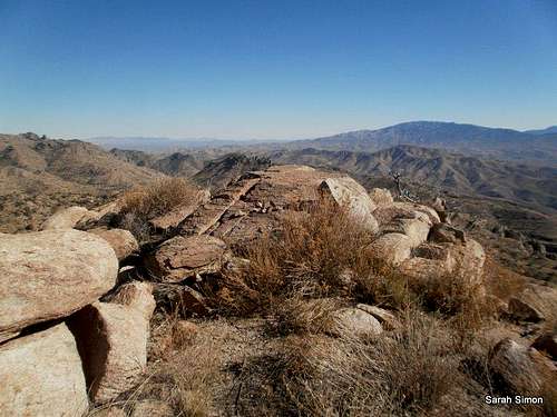
The scenery is fantastic from the top of Gibbon Mountain | 22 Nov 2012

Nice open views to the northwest of Gibbon Mountain | 22 Nov 2012
• Molino Campground (convenient access to Gibbon Mountain form the east)• General Hitchcock Campground• Rose Canyon Lake
Weather & Seasons
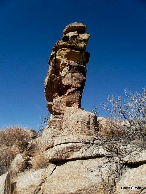
Looking across one possible summit contender on Gibbon Mountain | 22 Nov 2012
 | Gibbon Mountain is a year round mountain. Predictably, spring and fall would be delightful times to visit this peak. In the summer, the heat blasting up from Tucson could make it hard to escape the heat. Winter should typically be sunny and pleasant, but can be cold, windy and snowy. Occasional snowstorms slamming the Santa Catalina Mountains might close the “highway with many names,” or at least encourage the Forest Service to put a “4x4 or chains only” rule in effect. Before planning a trip to Gibbon Mountain, I suggest checking the weather both for Tucson, Arizona, as well as for Mount Lemmon or Summerhaven, as the road to the peak will cover both extremes and everything in between. |  |
External Links
I encourage fellow SPers to contribute any links to beta, trip reports, etc., associated with this peak via the Additions & Corrections.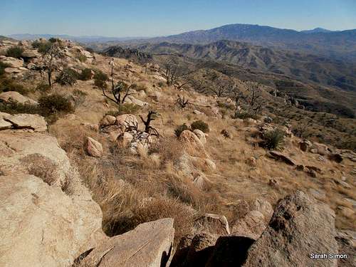 Views to the east from the top of Gibbon Mountain | 22 Nov 2012 | 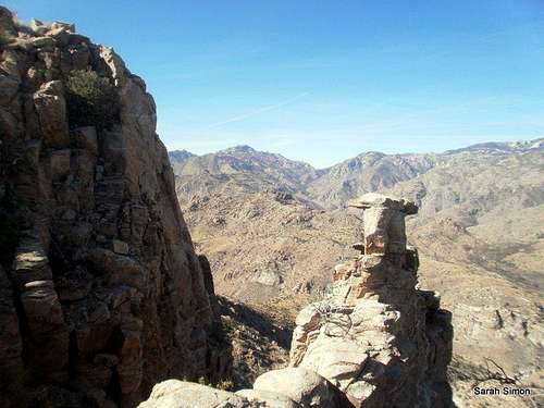 Views to the west from the top of Gibbon Mountain | 22 Nov 2012 | 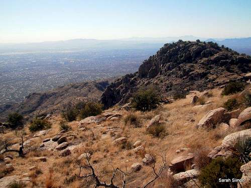 Nice views to the southwest from the top of Gibbon Mountain | 22 Nov 2012 |