Marufo Vega is a 14.6 mile lollipop loop trail in the eastern parts of Big Bend National Park in Texas. From the trailhead, not far from Rio Grande Village, the trail takes you close to 1000 vertical feet up to a hilly plateau where after 3.6 miles the trail splits. Taking either arm of the trail, will take you more than a 1000 vertical feet down to reach Rio Grande River. The trail then follows a path close to the river (with no easy access to the river) for 1.75 miles to reach the other arm which will return you to the trailhead.
This trail goes into a remote and barren part of the park where temperatures from April to October can routinely exceed 100 degrees F. Many people do this hike as a multi-day back packing trip. Be ware that no water source is available, the river water is said to be of questionable quality even after purifying. I did Mrufo Vega as a long day hike on an early March day when the afternoon temperature reached 91 degrees F. The 3 liters of water that I had in my backpack was barely enough to keep me from starting to get in trouble.
Hike Statistics
Hiking Distance: 14.6 miles
Trailhead Elevation: 1875 ft
Highest Elevation: 2840 ft
Lowest Elevation: 1810 ft
Total Ascent: 3100 ft
Trip Report
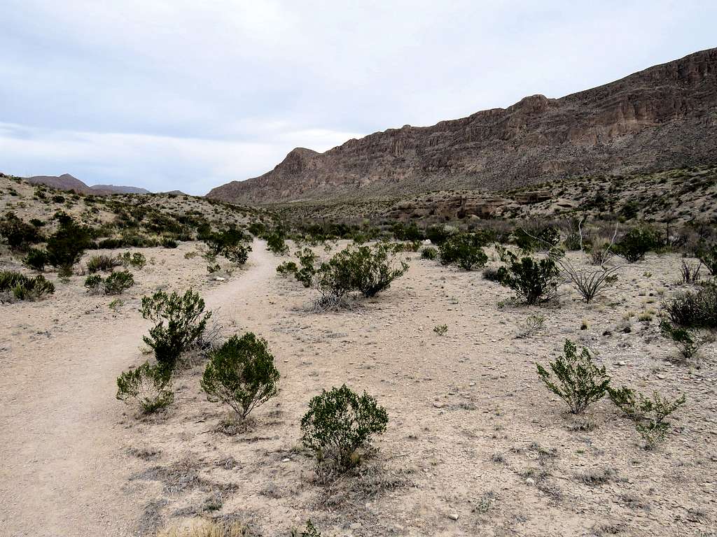
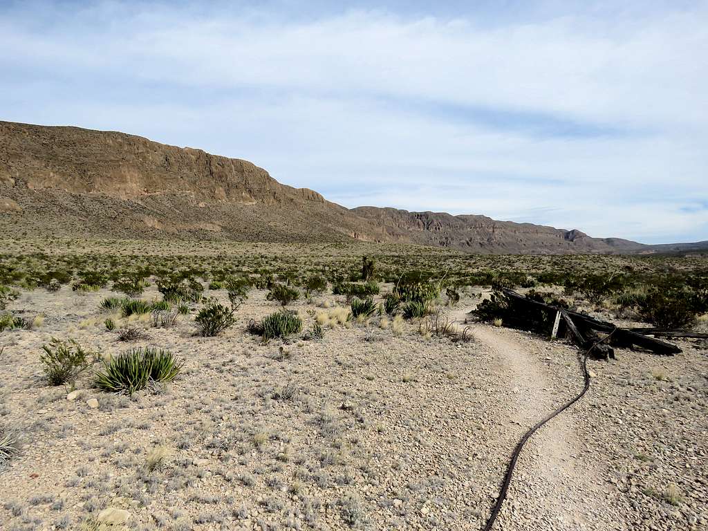
Left the vacation rental house in Terlingua, Texas at 6:20 AM when it was still dark (sunrise 7:20 AM) and drove more than 50 miles to Marufo Vega Trailhead. One vehicle was at trailhead (I only saw one person on the trail during my 9 hour hike). Elevation was 1875 ft. Started my hike at 7:30 AM. The trail headed north going into a dry wash parallel to a ridgeline to my east. It was 52 degrees F and thin clouds were in the sky. Forecast for Terlingua had called for high temperatures in the mid 80s (at the end of my hike, it had actually become 91 degrees F). I knew that I had a hot day ahead of me so I was kind of happy to not have clear skies although I knew the clouds would diminish the quality of my pictures.
In dry wash near trailhead
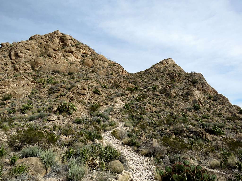
The trail took me by the remains of an old mining tramway. An old fallen steel cable went parallel to the trail for some distance and I came across a few crumbled remains of tramway towers (Left the picture taking for the return trip). After 0.9 miles, I reached the signed junction with Ore Terminal Trail. Took the trail on the right side and began to slowly go up in elevation. At 1.55 miles and an elevation of 2260 ft, I was at the junction with Strawhouse Trail. Marufo Vega Trail went to the right climbing a slope steeply. In only one third of a mile, the trail went up to 2560 ft in elevation.
From the steep slope
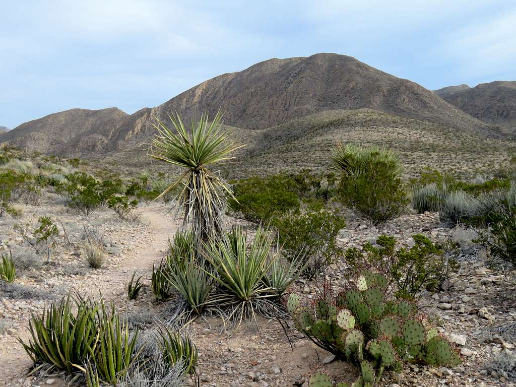
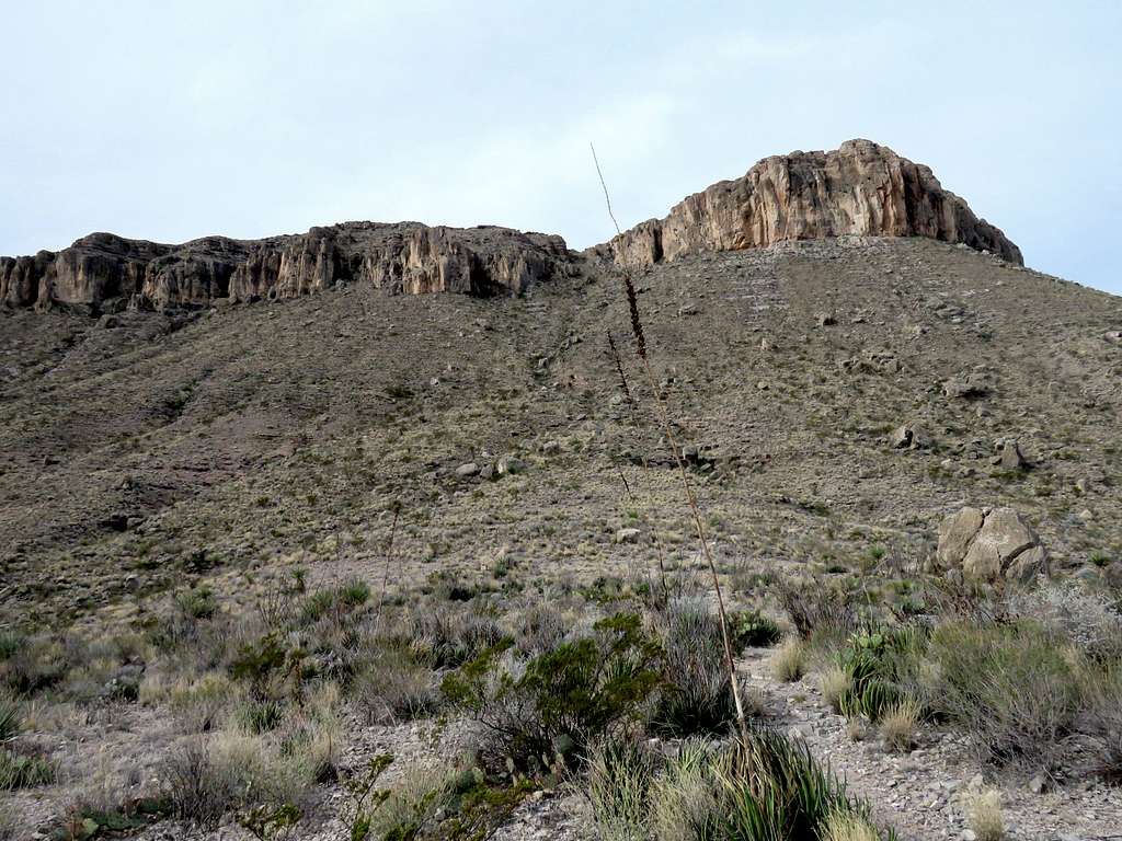
On top of the steep slope, a hilly plateau opened up in front of me. The trail did many little ups and downs on the surface of the plateau.
On the plateau
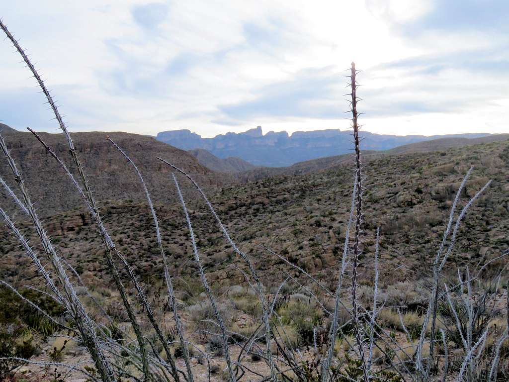
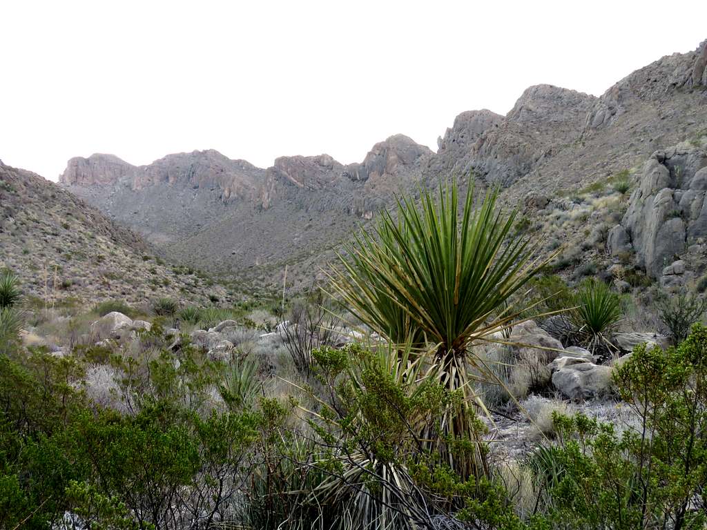
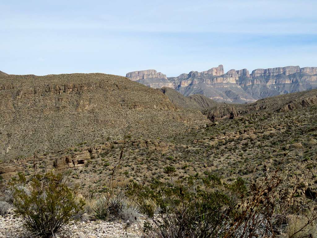
I could look south to get glimpses of Mexico’s Sierra del Carmen.
Sierra del Carmen
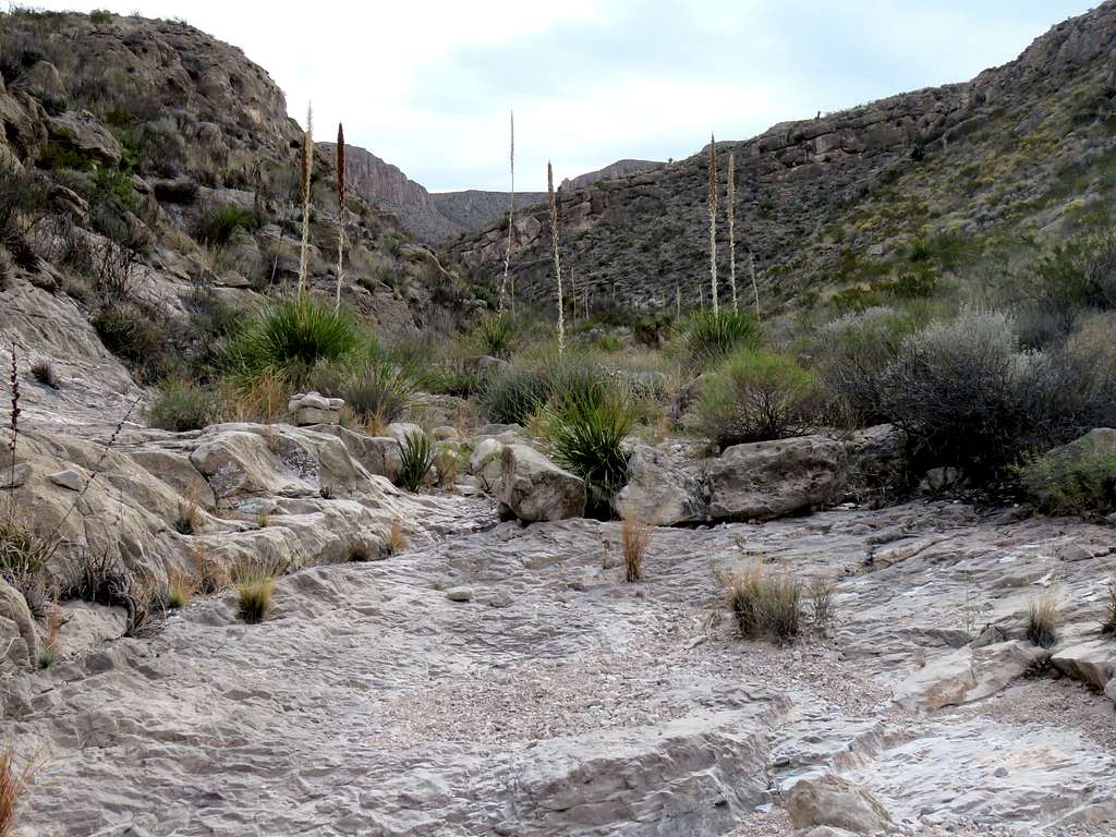
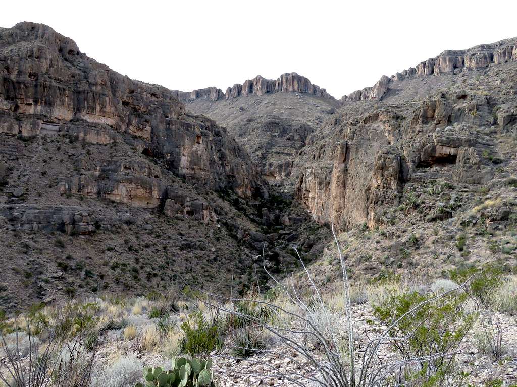
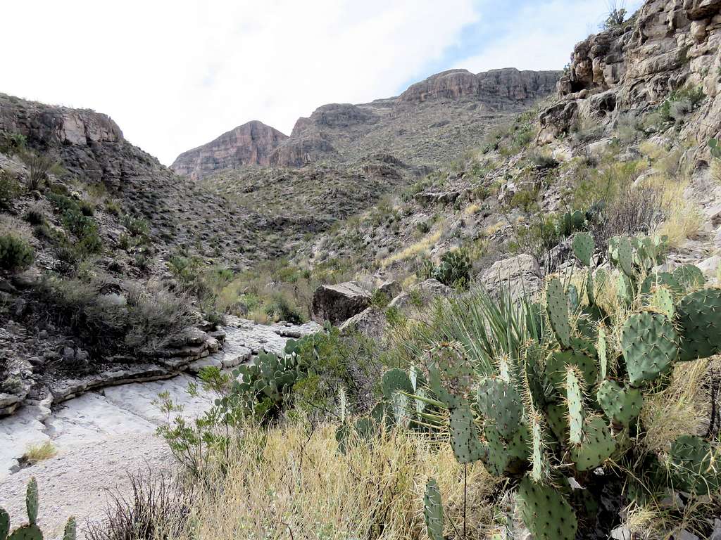
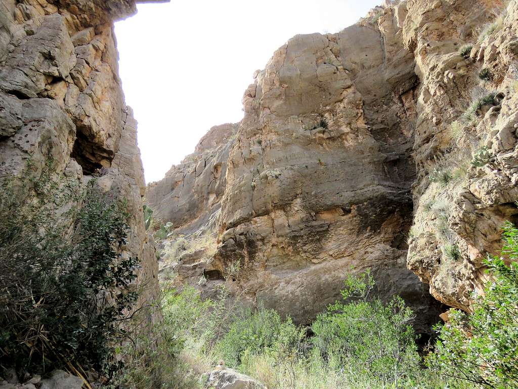
A small canyon began to form around me.
Small canyon
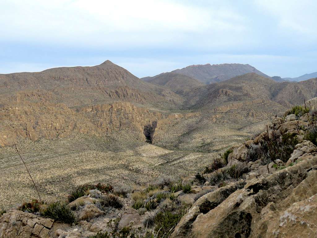
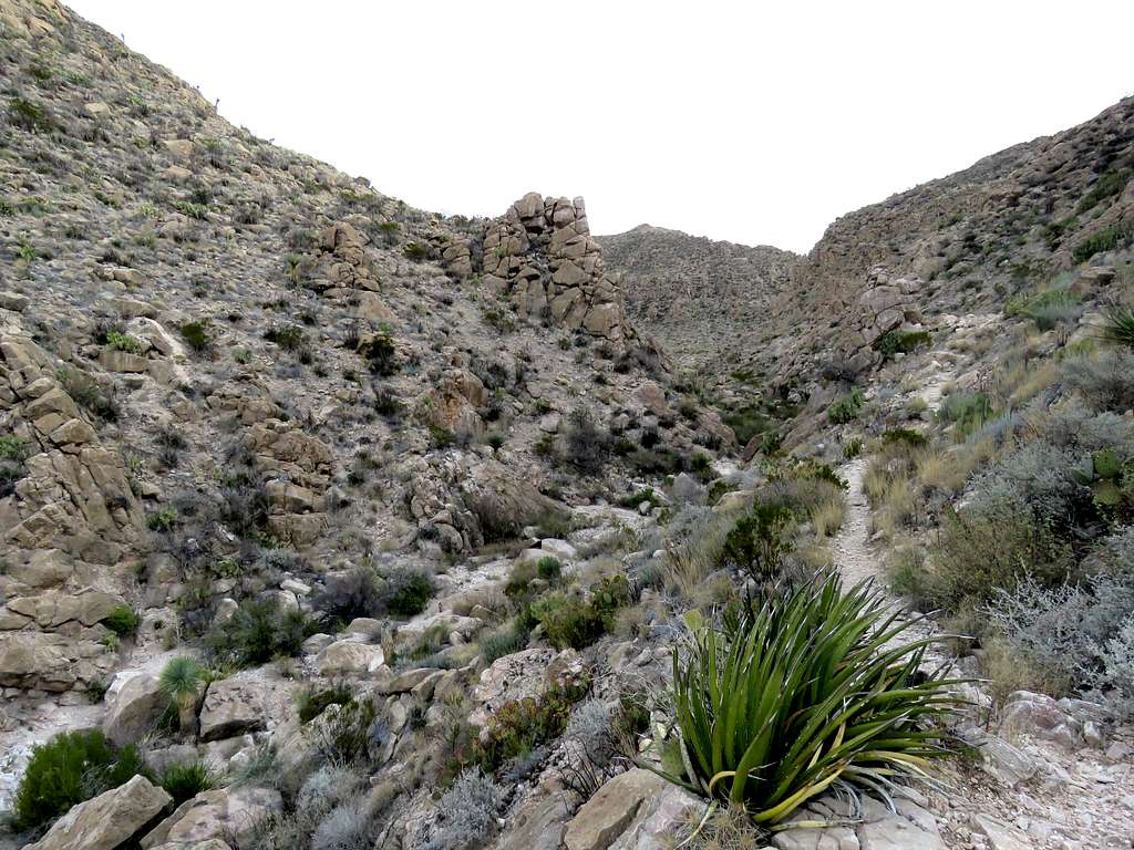
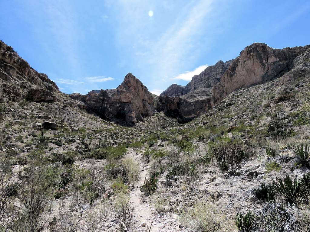
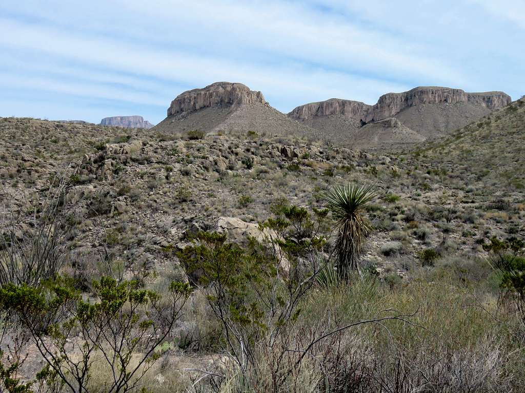
At 9:15 AM, 3.6 miles and 2620 ft, I reached where Marufo Vega Trail split into North and South Arms. View of Sierra del Caballo Muerto (Dead Horse Mountains).
Dead Horse Mountains
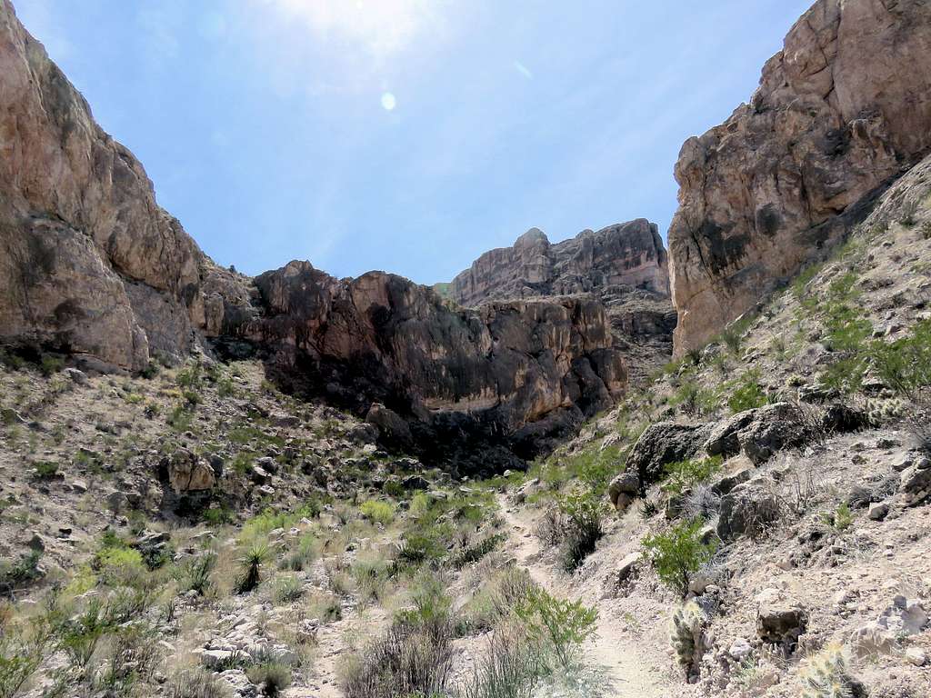
Took the south arm continuing up the small canyon.
South arm of the trail
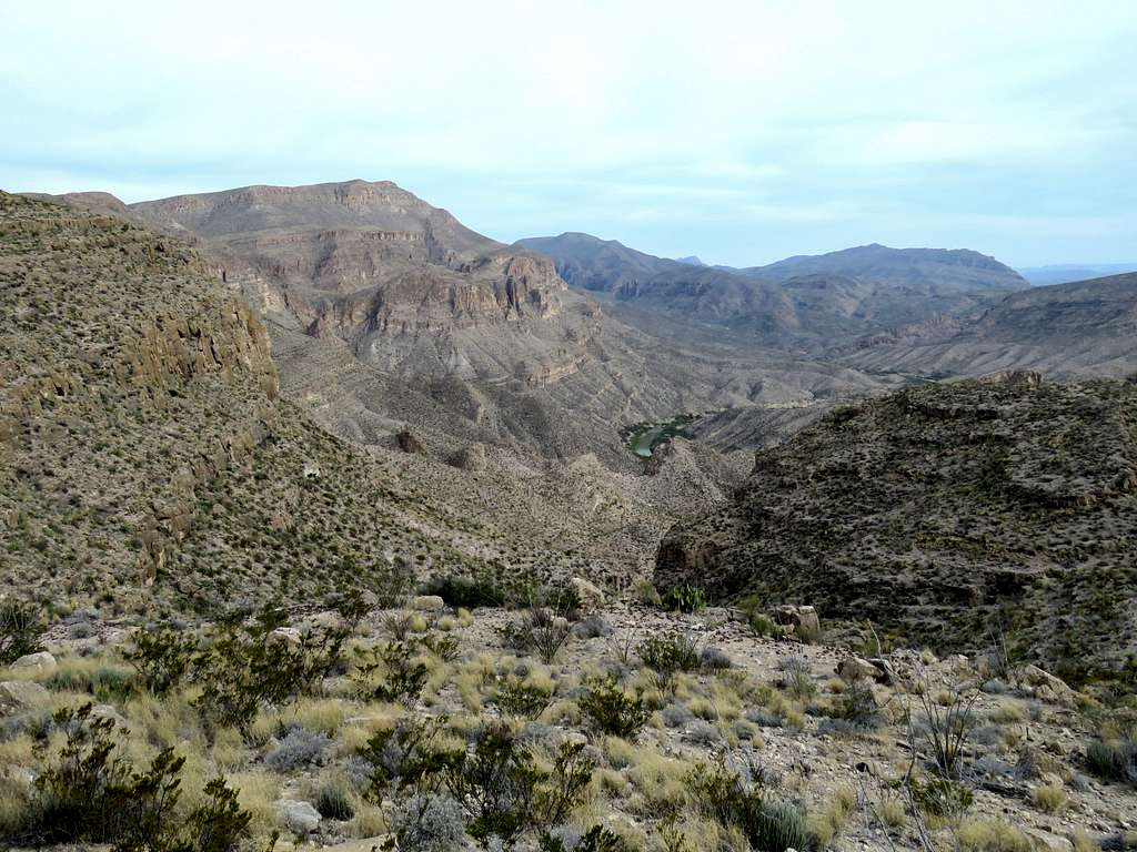
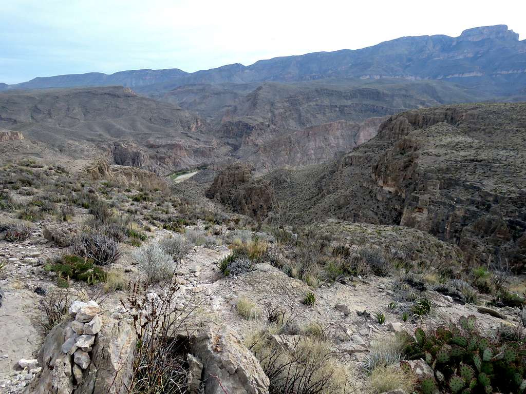
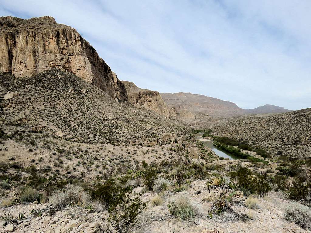
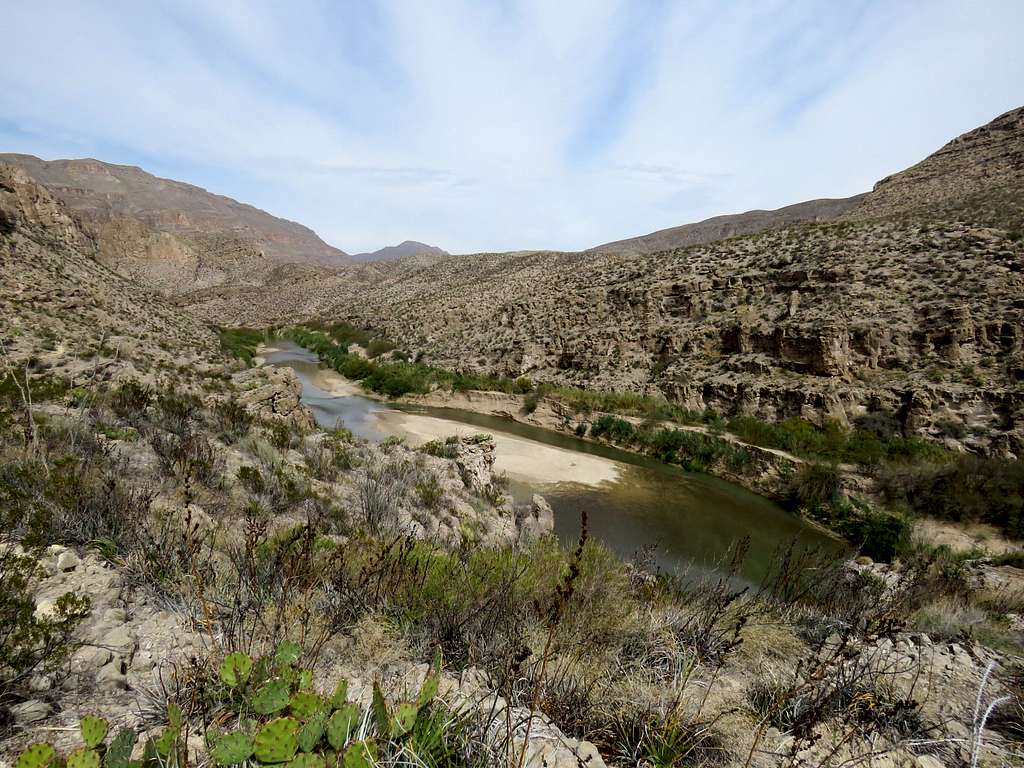
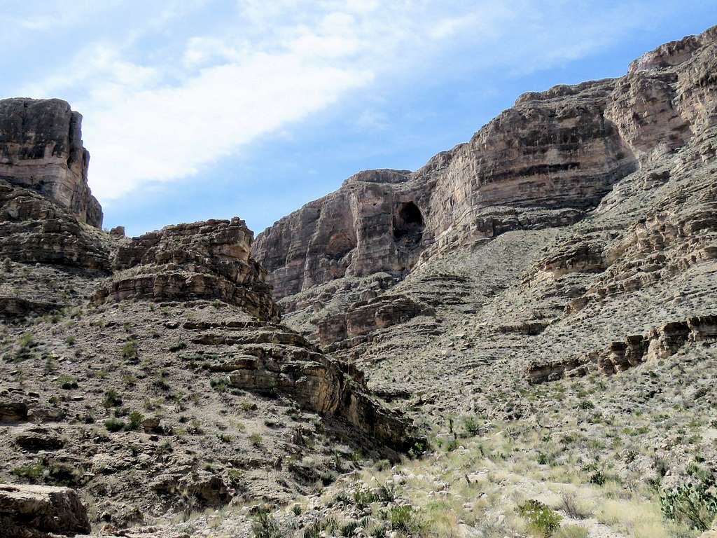
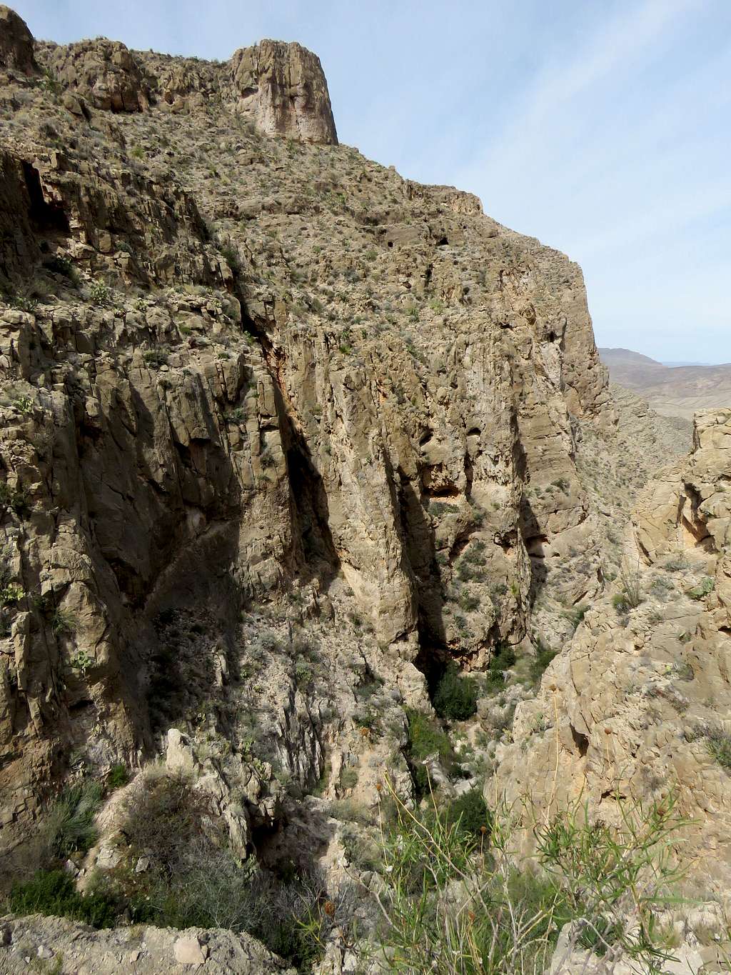
The small canyon opened up and the trail took me up gently sloped ground up to a maximum of 2840 ft. As I kept going, I started seeing a huge deep canyon in front of me with Rio Grande at the bottom of it. I had already begun to feel hot. That was not good. I knew that I had to go down into the canyon and then come back up later in the day when it would be even hotter.
Rio Grande River
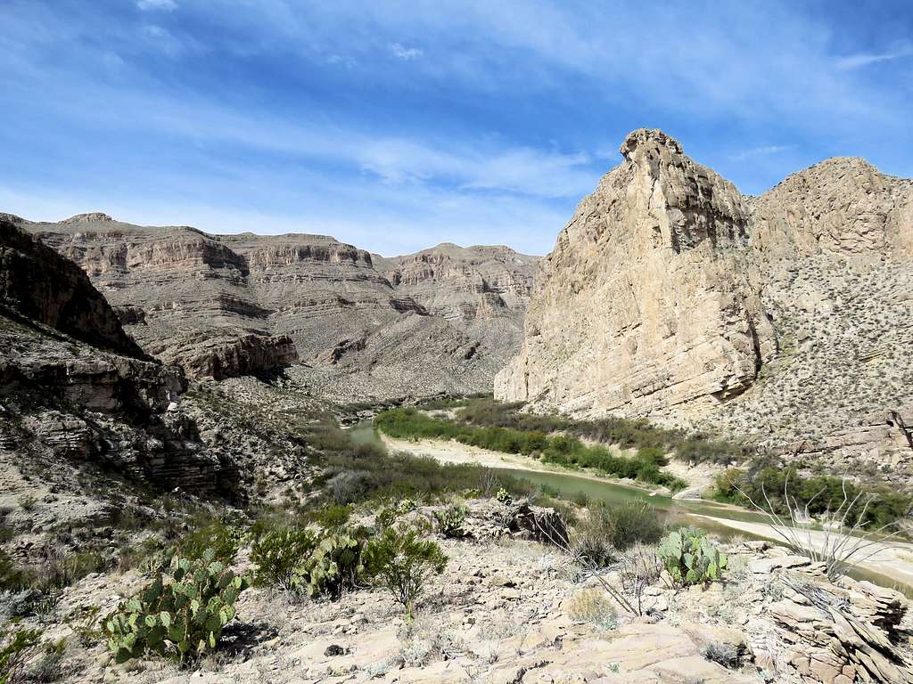
The trail then began to go down the slopes into the canyon.
Going down the slopesGoing down the slopes
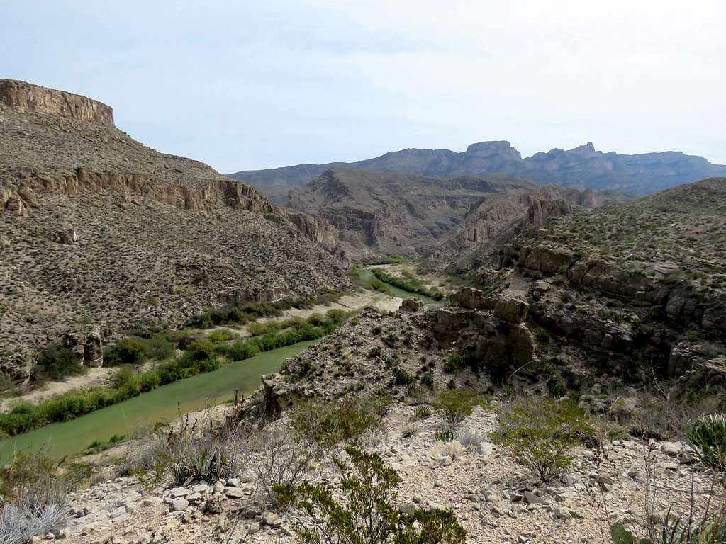
Rio Grande from lower down.
Looking into the canyon
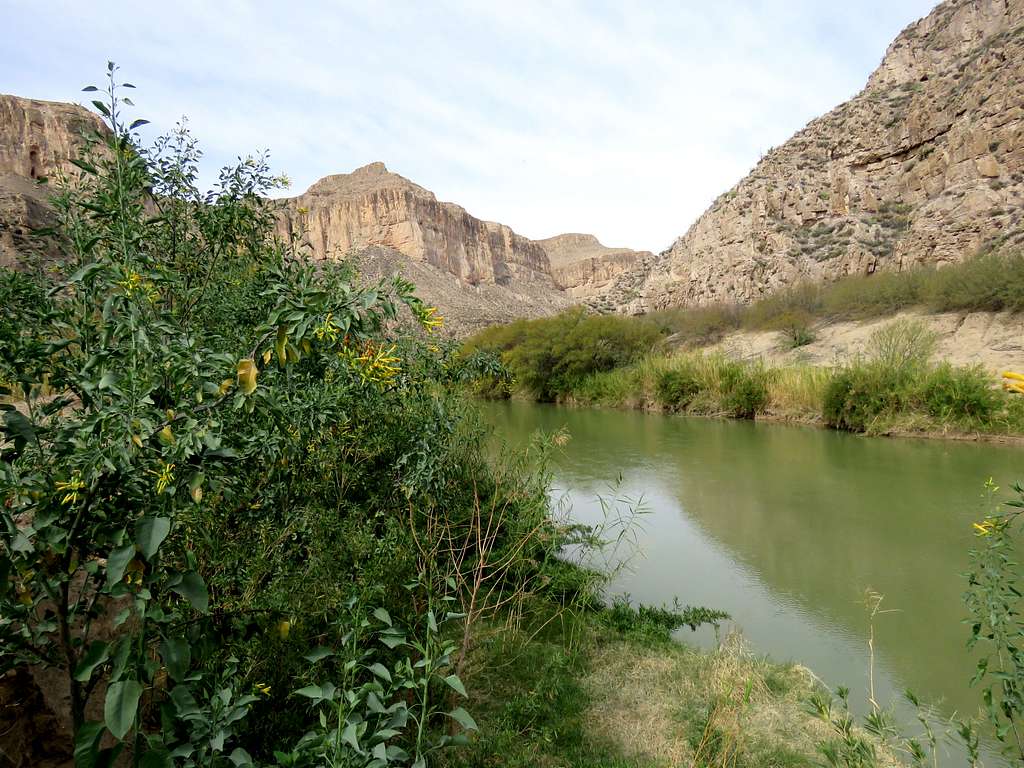
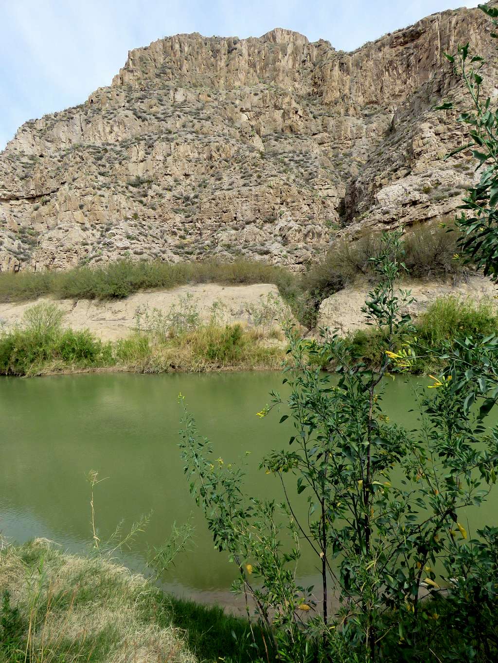
Down to an elevation of 2020 ft, after 6.15 miles of hiking, I reached a split. Took a half mile spur trail on the right going further down the slopes to reach Rio Grande at 11:00 AM and 6.65 miles. Elevation was 1810 ft. The river was flowing in a small ditch which had dense growths of bushes around it. Found a place to sit, eat and enjoy the views. Mexico was on the other side.
Rio Grande RiverRio Grande River
I had brought 3 liters of water with me and at that point had drank most of the first one liter. I knew that I was not even half way into my hike, had a lot of climbing ahead of me and the temperature was only getting hotter so I decided to manage my water wisely.
Left at 11:15 AM and began to walk back up the spur trail reaching Marufo Vega Trail at the junction I had been at.
Going up the spur trail
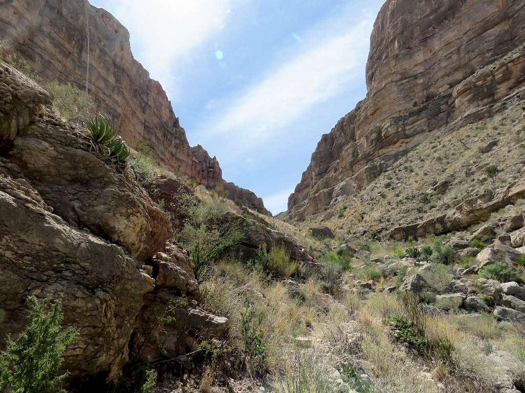
For the next 1.75 miles, the trail followed the river at some elevation above it. It became sunny.
Rio Grand RiverRio Grande RiverRio Grande RiverRio Grande River
Crossing a side canyon I went down a steep slope into the canyon and back up the other side.
Crossing a side canyon
At 12:35 PM, 8.9 miles and 1830 ft elevation, I reached the junction with the north arm of Marufo Vega Trail. Sat there to drink and rest. Was concerned about the bright sunshine and the 900 ft vertical climb ahead of me. Soon after starting to hike up the trail, I ran into a lone hiker. He was the only person I saw all day. He asked if everything was ok with me. I thanked him and said yes, then I asked him the same thing.
Up the North arm of the trailUp the north arm of the trail
A canyon began to form. Sat next to a cliff which created enough shade to cool down my upper body but my legs were still in the sun. Drank a little bit of water.
CanyonCanyon
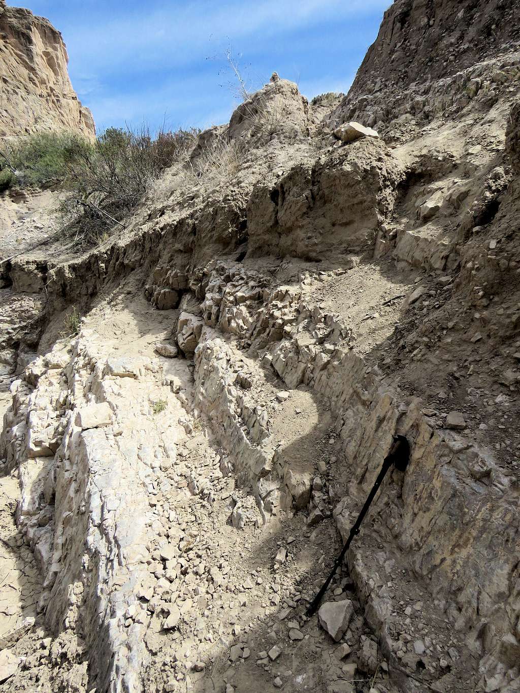
Farther up, the canyon became tight with walls rising all around me. Where there was a little bit of a shade, I sat down to cool and drink a little water again.
Tight canyonTight canyon
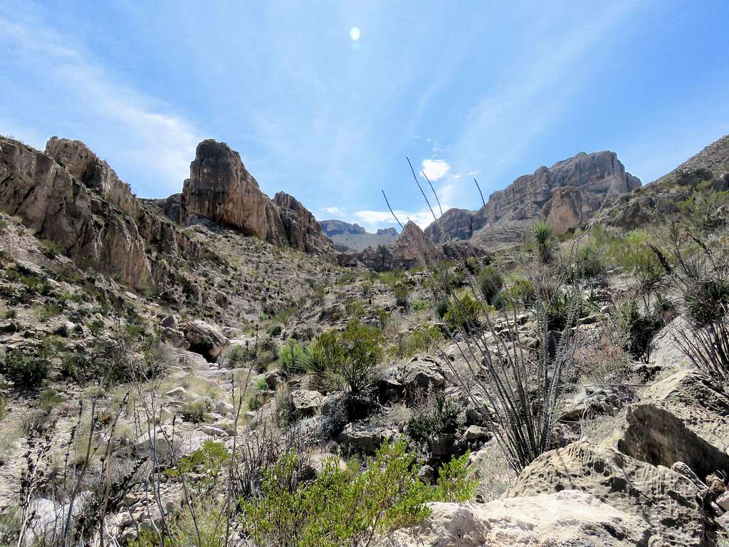
The trail continued up the canyon leading me to walk up paths among the walls until I was suddenly out of the canyon. Looking back into the canyon.
Looking back into the canyon
I was then on the plateau again walking back toward the junction of the North and South Arms where I reached at 2:15 PM and 11 miles.
On the plateau
Was then walking back on the plateau where I had been in the morning. I was rationing my water. Another view of Mexico’s Sierra del Carmen.
Sierra del Carmen
Finally reached the top of the steep slope. I had told Mary to expect me home around 5 PM. It was apparent that I would not make it back that soon. Going down the slope, I could see Rio Grande Village in the distance and was fortunate to have cell phone connection. Called Mary and told her where I was. That was a good thing to not have to worry about any more.
Looking up the steep slope
Drank my last 100 cc of water 0.9 miles from trailhead. View of the collapsed tramway.
Crumbled tramway
Reached my car at 4:20 PM and 14.6 miles. I had ice tea and a gallon of water in the car which I gulped down as fast as I could. A number of other cars were at the trailhead but no one was there. The parked car’s thermometer was obviously showing very high under the sun but as I moved it stabilized at 91 degrees F.
Hi Nader,
I have enjoyed reading this and your other TRs from Texas recently. I had no idea that there was such a large area of mountain wilderness in Texas. Having said that, my only visit was 20 years ago when I landed in Dallas to change planes... it was very flat around there!
Mike
Western Texas does have a lot of mountains. Unfortunately many mountains seem to fall on private property. Nevertheless, Big Bend National Park in southwestern Texas and Guadalupe Mountains National Park in northwestern Texas can provide you with endless hiking opportunities.
Big Bend is a huge park. Reaching many parts of it require multi day backpacking or extensive 4 wheel driving on rough roads.
Hopefully the Corona Virus pandemic will be over soon and you can come explore for yourself.
I attempted a day hike on this trail a few years go around April 1st. Closest I ever came to having heat stroke! I couldn't believe how hot it was. (I had just flown down from New Jersey where winter just ended a few weeks earlier.) I also started early in the morning while the start of the trail was in shade from the eastern hills.
I didn't go up the steep part, but continued up the trail from the saddle to what they called the "horse trail" to get up on the plateau. I got to the cairn where this trail met the main trail and knew I was in trouble with the heat. I had several liters of water but had filled my bottles from a spigot in the parking lot of the visitor's center and it tasted really bad. Headed back down via the steep trail (slid most of the way). Sat in a little bit of shade at the saddle and then further on laid down for a long time in a little bit of shade at one of the broken-down tramway trestles. Somehow got to my car and headed straight to the grocery store at Rio Grande village and bought some gatorade and salty chips--which I couldn't eat, then bought enough tokens for two showers and let the cool water flow over me.
24 hours before the start of this hike, I had flown out of Chicago where it was 24 degrees. The day after Marufo Vega, I hiked Lost Mine Trail. It was cloudy and on top, I had to put on my jacket because the wind felt cold.
Parents refers to a larger category under which an object falls. For example, theAconcagua mountain page has the 'Aconcagua Group' and the 'Seven Summits' asparents and is a parent itself to many routes, photos, and Trip Reports.


Comments
Post a Comment