Forecast on this day for Big Bend National Park in Texas called for rain (mostly in the evening). I decided to do a number of short hikes as the weather permitted. In the end, I was able to do the following hikes:
Hike
Length (miles)
Total Ascent (feet)
Santa Elena Canyon
2.25
400
Tuff Canyon
0.9
115
Lower Burro Mesa Trail
1.1
95
Mule Ear Spring
3.95
510
Total
8.2
1120
Santa Elena Canyon
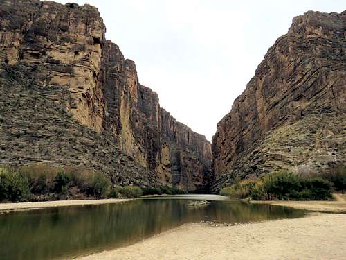
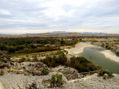
Left Terlingua, Texas at 7 a.m. It was cloudy but there was no rain. Drove 50 miles to the end of Ross-Maxwell Scenic Drive at Santa Elena Canyon Trailhead. Was pleasantly surprised to see no one at trailhead. I was on a flat plain only 500 ft away from Rio Grande River but dense growth of bushes obstructed my view of the river. To the west, the walls of the canyon rose abruptly 1500 vertical feet above the plain. Started my hike at 8:20 a.m. going on the trail toward the walls.
Santa Elena canyon
I then went a short distance off trail to reach the banks of the river near the mouth of the canyon (elevation 2160 ft). Mexico was on the other side.
Santa Elena Canyon
Rio Grande River
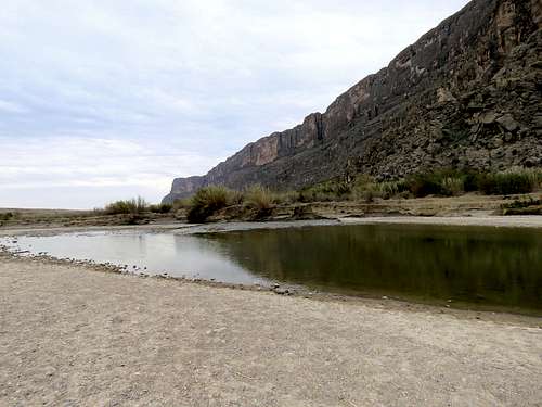
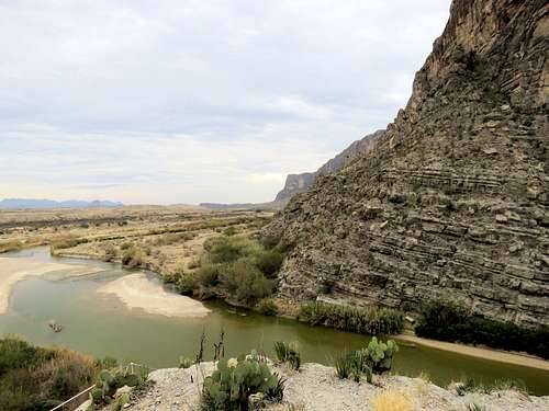
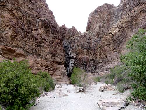
Back to the main trail, I crossed Terlingua Creek, which at that time had been reduced to a few standing pools of water. I did not need to get wet at all. I was then right at the mouth of Santa Elena Canyon. The trail, which in places was paved with concrete and had guard rails, made switchback going up 200 vertical feet to a maximum elevation of 2360 ft.
switchbacks up at the mouth of the canyon
Looking east from the top.
Rio Grande from the high point
Rio Grande from the high point
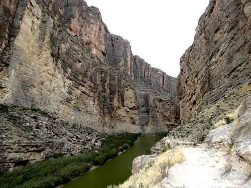
Looking west into the canyon.
Santa Elena Canyon from the high point
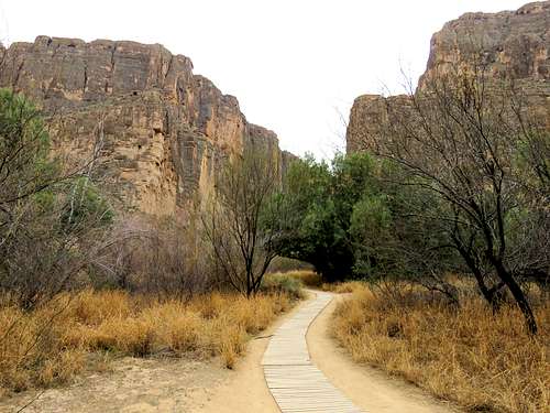
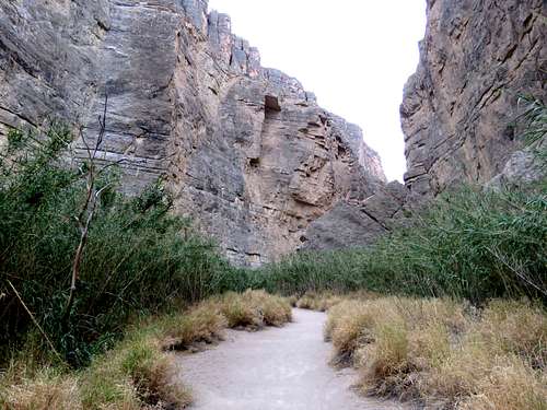
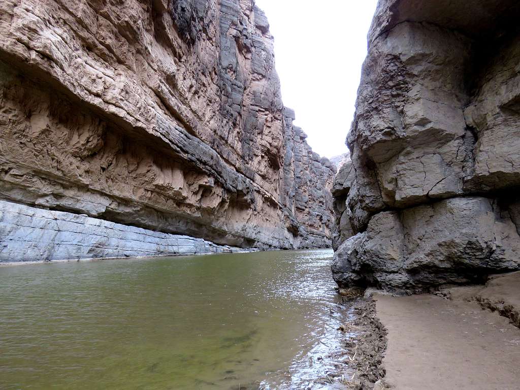
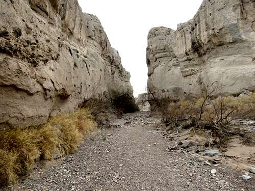
The trail then slowly came down onto a narrow strip of land between the walls and the river. A path had been cleared in the bush and tall grass.
Trail in the bush
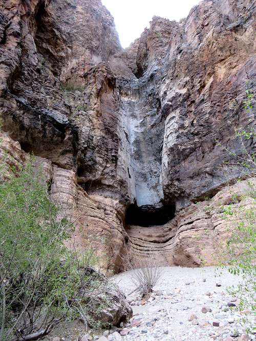
After 1.05 miles, I reached the end of the strip of land. To go any further, one would have to walk in the river.
End of the trail
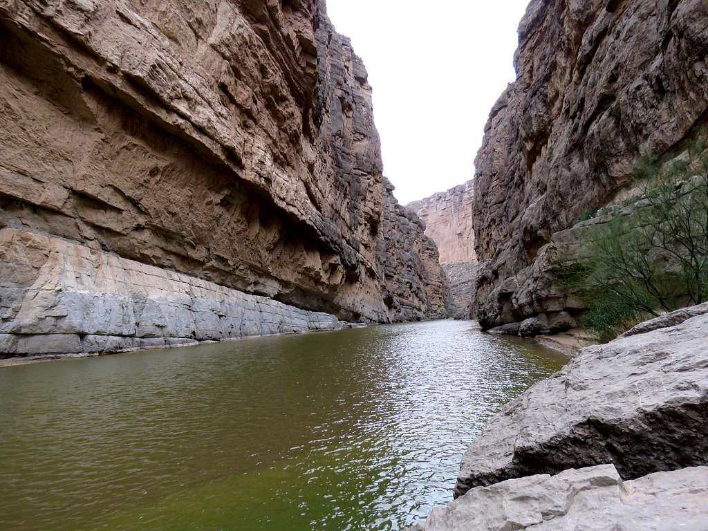
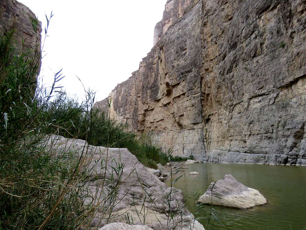
Found myself a comfy place and sat to enjoy the grandeur of the scenery. All I could hear, was the singing of a bird and the echo of the gentle waves hitting the walls of the canyon.
Santa Elena CanyonSanta Elena Canyon
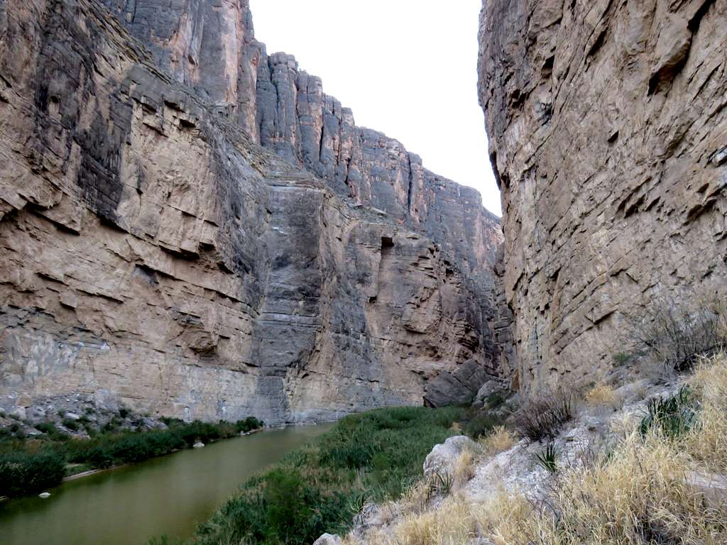
Since there had been no rain, I decided to move onto the next hike. Waking back, I ran into people who were walking into the canyon (most of whom seemed to be 50+ year olds like myself). Another look into the canyon.
Santa Elena Canyon
Was back at the parking lot by 9:40 a.m.
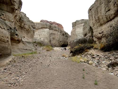
Tuff Canyon
Drove back 11 miles on Ross Maxwell Scenic Drive to Tuff Canyon Trailhead. The drive was truly scenic. No one was there. Elevation was 2370 ft. Started my hike at 10:10 a.m. A walk of a few hundred feet brought me to the edge of the canyon.
Tuff Canyon
Another view point.
Tuff Canyon
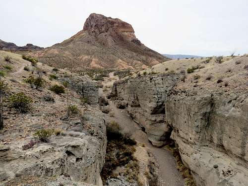
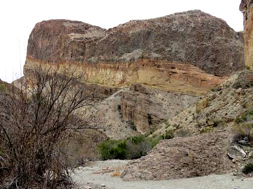
Tuff Canyon with Cerro Castellan in the back.
Tuff Canyon & Cerro Castellan
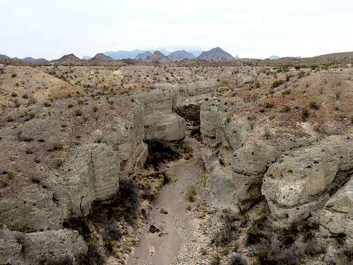
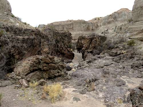
Followed the trail on the rim of the canyon downhill until the canyon quickly ended into a dry wash on the desert plain. I then turned around and went into the canyon hiking parallel to and below where I had hiked on the rim.
Tuff Canyon
Tuff Canyon
Tuff Canyon
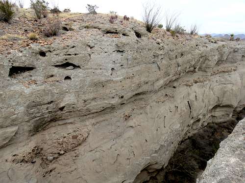
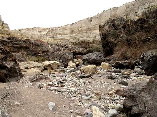
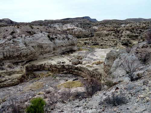
Reached the end of the trail where a layer of black rock appeared. Minimal climbing got me to a higher level over the black rock.
Tuff Canyon
Tuff Canyon
Tuff Canyon
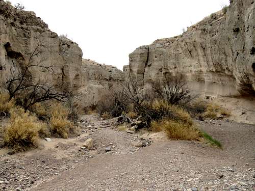
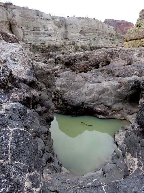
A pool of water but there was an easy way around it.
Tuff Canyon
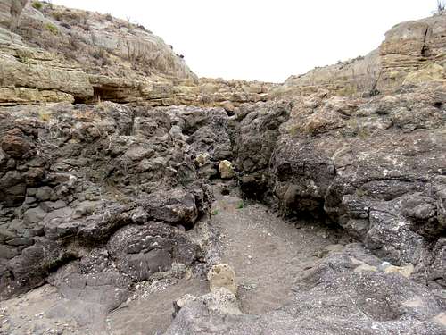
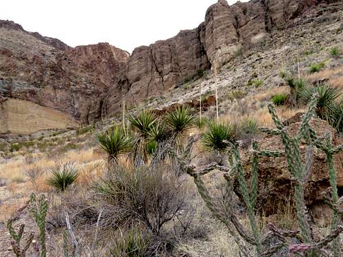
Going further required climbing a yellow colored wall. I saw an opening in the wall of the canyon with a beaten path that I followed to exit the canyon. Looking down at the yellow wall in the canyon.
Tuff Canyon
It then began to rain slowly. Walked along the road 500 feet or so until I reached my car at 10:40 a.m.
Lower Burro Mesa Trail
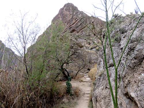
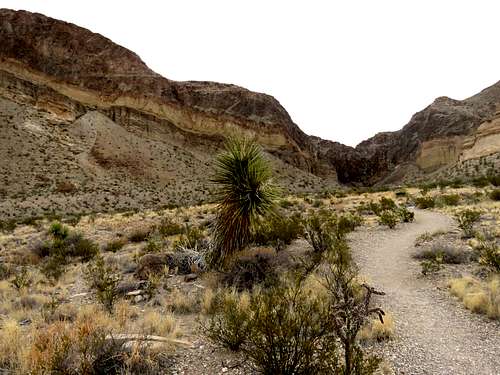
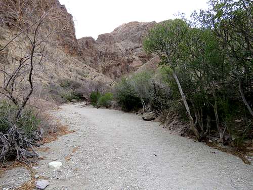
Since it had begun to rain, I was looking for a short hike again. Drove another 10 miles back on Ross Maxwell Scenic Drive to Lower Burro Mesa Trailhead. Rain, fortunately stopped and no one was at trailhead. It was 3290 ft there. Started my hike at around 11:05 a.m. The trail followed a dry wash toward a line of cliffs.
On Lower Burro Mesa Trail
On Lower Burro Mesa Trail
On Lower Burro Mesa Trail
On Lower Burro Mesa Trail
Half a mile later and 100 feet higher, I reached the base of the pouroff. Apparently, at times of flash flooding, water pours down the cliff. I had read that another trail starting somewhere else went to the top of the pouroff.
PouroffPouroff
Point 4170 ft.
Point 4170 ft
Walking back, I ran into a number of people. Reached my car at 11:30 a.m.
Mule Ear Spring Trail
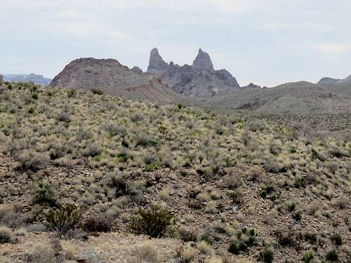
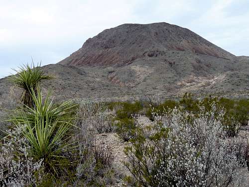
No rain meant that I could do a longer hike so I drove 6.5 miles to Mule Ear Spring Trailhead. There were many cars and people in the parking area. Elevation was 2890 ft. Started my hike at 11:50 a.m. Mule Ear Peaks from trailhead.
From Trailhead, Mule Ear Peaks
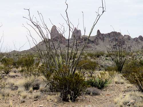
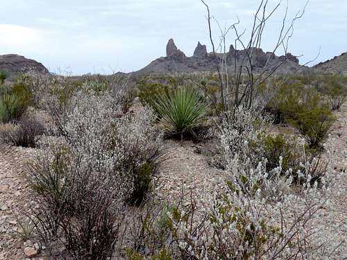
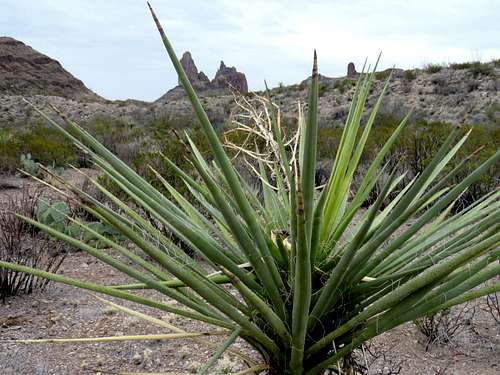
The trail headed east over a desert plain doing some ups and downs going toward the Mule Ear Peaks. Ran into other hikers every now and then.
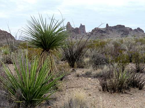
Mule Ear Peaks
Mule Ear Peaks
Mule Ear Peak
Mule Ear Peaks
Getting close to the Spring.
Near Mule Ear Spring
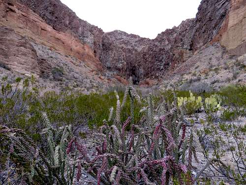
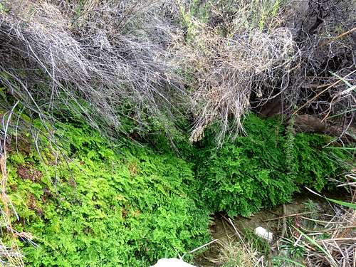
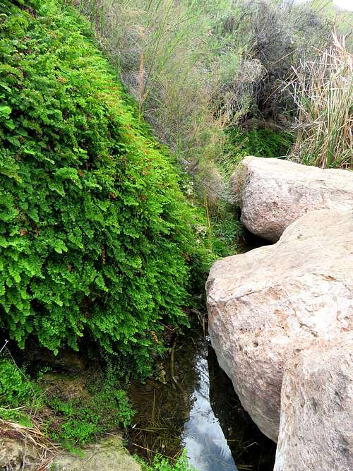
I then reached a place where a trickle of water had created a lush oasis of tall grasses and bushes. Sat on a boulder among fern covered slopes to have my lunch. Others were also there.
Mule Ear SpringMule Ear Spring
Walking back to trailhead, I had a good view of the 4125 ft high Trap Mountain. I had considered climbing it but I thought I had done enough hiking for the day. Reached my car at 1:35 p.m.
Parents refers to a larger category under which an object falls. For example, theAconcagua mountain page has the 'Aconcagua Group' and the 'Seven Summits' asparents and is a parent itself to many routes, photos, and Trip Reports.


Comments
Post a Comment