Mont Paillasse (2414m) is a not very prominent relief of the northern extremity of the ridge between Valsavaranche and Val di Rhêmes, in the Gran Paradiso National Park. North of it there is only the insignificant but rather panoramic summit named Mont Blanc de Rhêmes (2205m), beyond the homonym Col du Mont Blanc (2171m): a mountain hut (casotto in Italian) for the Park rangers lies in the immediate vicinity.
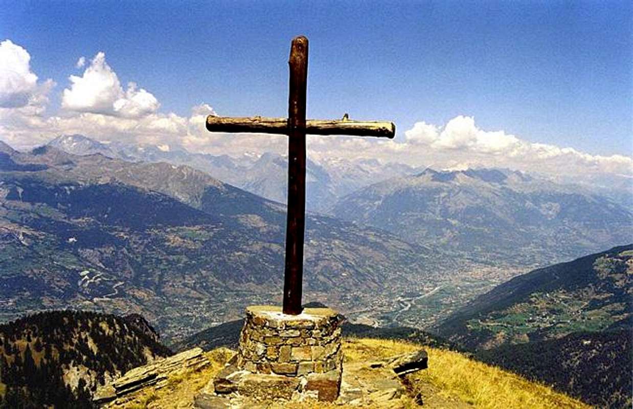
In spite of its limited height, the view from the top of Mont Paillasse is very wide: towards the north, in absence of any obstacle, it ranges over a great number of mountain groups of the Val d'Aosta, from Mont Blanc (the true one!) to Monte Rosa. The broad central valley extends at its foot, included the nearby Aosta, the regional chief-town.
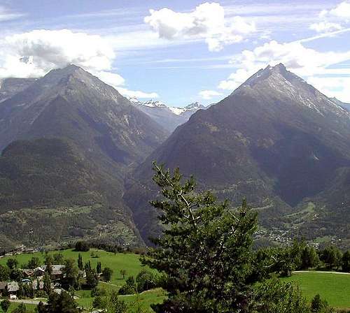
In the opposite southern direction, the sight pushes forward faraway into the two parallel valleys of Valsavarenche, the only one entirely placed inside the Park, and Val di Rhêmes. The opposite ridge of Val di Rhêmes is visible towards the south as far as the Glacier of Torrent and Grande Rousse (3607m).
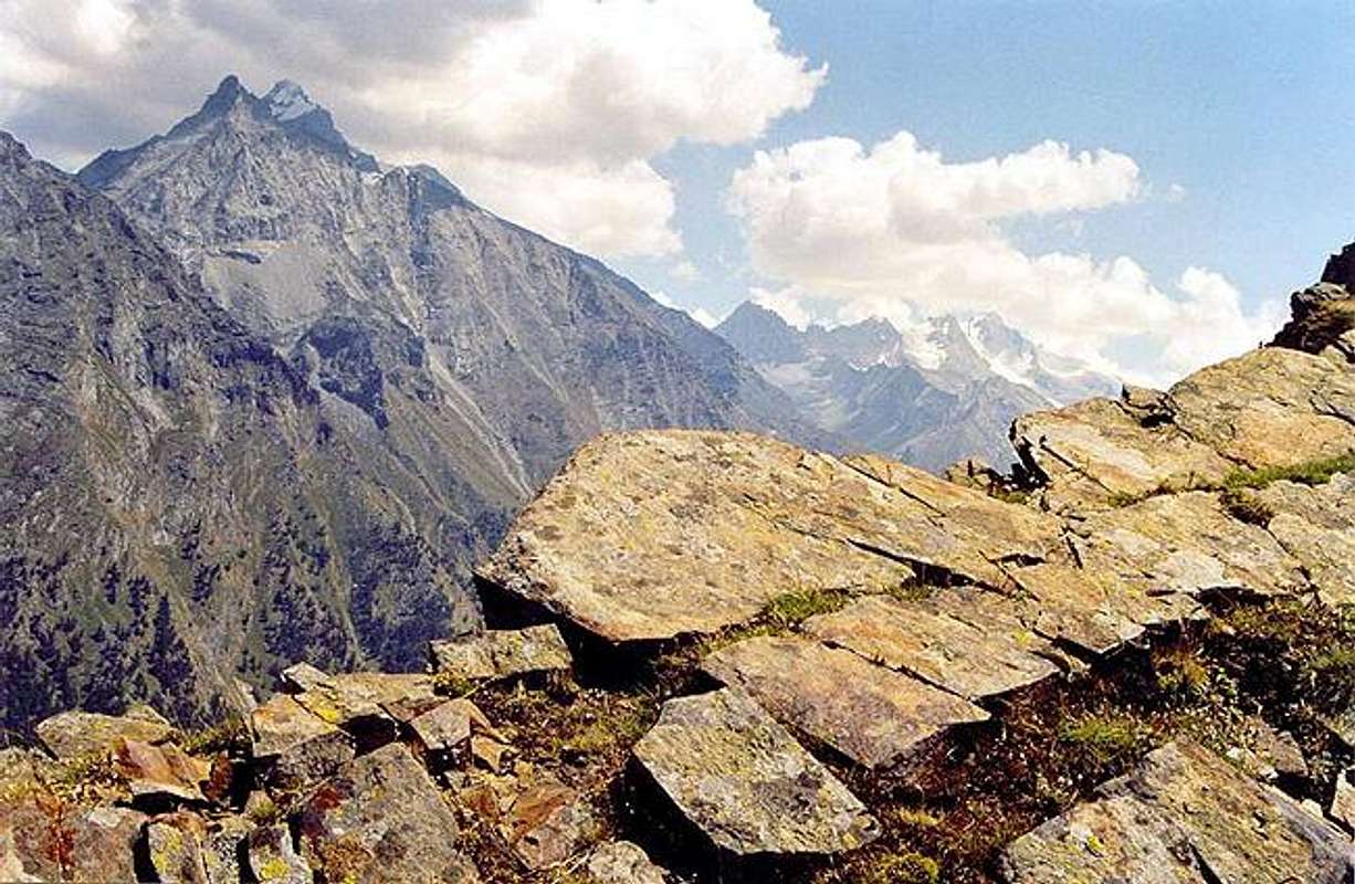
In a similar way it is possible to view a great part of the opposite side of Valsavarenche, with the Gran Paradiso summit (4061m) in the background; in the foreground one can see: Punta Valletta (2793m), Mont Favret (3173m) and Gran Nomenon (3488m).
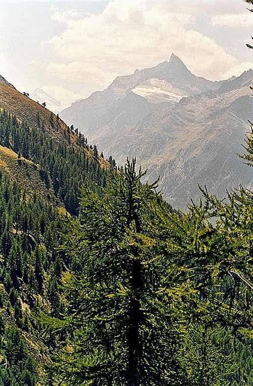
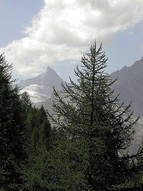
During the ascent from the Col du Mont Blanc till to nearly the top of Mont Paillasse, Gran Nomenon hides completely the rear summit of La Grivola (3968m), that suddenly peeps out just in correspondence of the Mont Paillasse top.
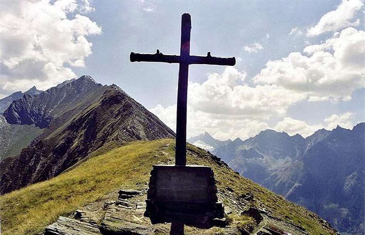
Looking southwards along the ridge, the first summit that stands out in the foreground is Punta Chamoussière (2942m); it comes before the other nearly aligned summits of the ridge: Punta di Ran (3272m), Punta di Bioula (3414m) and so on.
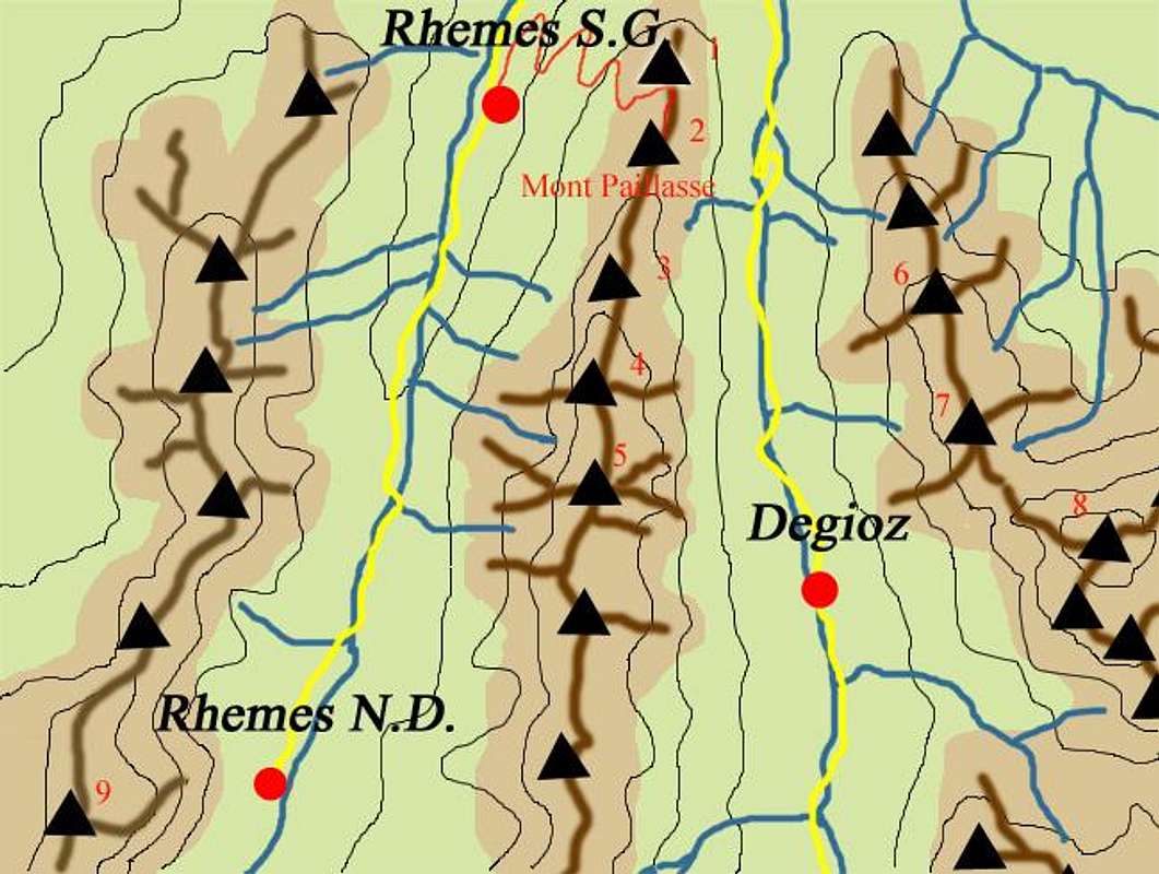
There are different routes to Mont Paillasse both from Rhêmes Saint Georges and Buillet, at the beginning of Valsavaranche, all connected by interesting alternative routes: none presents any difficulty.
The main route keeps an unpaved road climbing gently through the wood: many shortcuts let you avoid the hairpin bends. One could describe it as a trip for families with children, taking into account that the wonderful wood, mainly made of larches, extends above the col du Mont Blanc. Therefore it supplies a shady pathway, particularly welcome in the hot 2003 summer; in addition the undergrowth offers any kind of fruits as strawberries, raspberries and bilberries, that imply a slower pace!
On the other hand, the difference in height of the route has to be taken into account: starting from Rhemes Saint Georges, there are about 1000 m as far as Mont Blanc de Rhêmes, more than 1200 meters up to Mont Paillasse summit.
![]() |
- Mont Blanc de Rhêmes 2205m
- Mont Paillasse 2414m
- Punta Chamoussière 2942m
- Punta del Ran 3272m
- Punta Bioula 3414m
- Mont Favret 3173m
- Gran Nomenon 3488m
- La Grivola 3969m
- Grande Rousse 3607m
|


 12444 Hits
 84.27% Score
 18 Votes
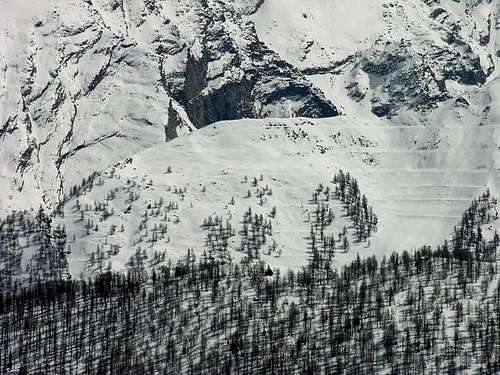 West side of Monte Paillasse 2414m, seen during the climb of Torre Tonda