
|
|
Mountain/Rock |
|---|---|
|
|
38.98065°N / 106.5281°W |
|
|
Chaffee |
|
|
Mountaineering |
|
|
Summer |
|
|
13295 ft / 4052 m |
|
|
Overview
North face of Peak 13295 ft
Note about name: This peak has no official name.
Rank: Peak 13295 ft is Colorado’s 403rd highest ranked peak.
Peak 13295 ft rises on the continental divide in the Sawatch Mountains of central Colorado a few miles to the south of Route 82. The peak sits at the confluence of 3 valleys and can theoretically be approached via any of them. The valleys include: Sayres Gulch to the north, North Fork of Clear Creek to the east/southeast and Red Mountain Creek to the west/southwest. The first two valleys ultimately drain into the Atlantic Ocean and the last one into the Pacific Ocean. The route described below follows a trail into the upper parts of Sayres Gulch where the trail fades away and you can then hike up the easy northern slopes of Peak 13295 ft to reach its summit.
East face of Peak 13295 ft
Getting There
From Independence Pass on Route 82, drive 9.3 miles east (or 14.5 miles west from junction of Routes 82 and 24) to the “South Fork of Lake Creek Road” (FR 391) (the parking area for La Plata Peak Trail is in the same area). This is a dirt road that is rough with many pot holes but is technically a 2WD road (I drove an SUV and did not need to use 4WD but I would not bring a passenger car here).Turn onto the South Fork of Lake Creek Road (FR 391) and drive 2.8 miles to a split. Left may be marked for Sayres Gulch. This is the start of the hike. There is room for a few cars to park.

Route, via Sayres Gulch
 Map
MapTrailhead Elevation: 10560 ft
Summit Elevation: 13295 ft
One Way Hiking Distance: 4.8 miles per my GPS
Hike the two-track on Sayres Gulch road a short distance to a pedestrian bridge over South Fork of Lake Creek.

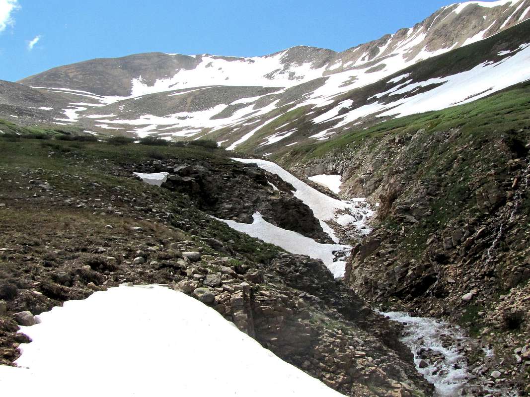
Cross to the south side of the creek. You will note an impressive little canyon below.
 |
 |
The two-track goes through a pine forest and then gets onto an open broad valley. Point 12846 ft can be seen to the south. Later you will see that this point splits Sayres Gulch into an eastern and western branch.
 Point 12846 ft
Continuing up the valley.
 |
 |
Peak 13295 ft will now come to view (and soon go out of view again).
 Peak 13295 ft on the right
Star Mountain can be seen behind across the valley.
 Star Mountain
After about 1.7 miles, the two-track ends and you will see a sign for Collegiate Peaks Wilderness. A trail continues up the valley. You can see the east branch of Sayres Gulch with Point 13250 ft rising at the end of it.
 The east branch of Sayres Gulch and Point 13250 ft
Continue on the trail into the west branch of Sayres Gulch.
 |
 Peak 13460 ft Peak 13460 ft |
 |
 Lackawanna Lackawanna |
Bushes will come to cover the ground. In places, I had a hard time finding the trail.
 Finding the trail in the bushes
The ground on the left (east) side of the stream may have less bushes. If you lose the trail, you may want to cross to the left.
 Crossing the stream
Continue south up the valley, as you go higher, the bushes go away.
 |
 |
 |
 |
Peak 13295 ft appears again.
 Peak 13295 ft
Hiking up toward the 12900 ft saddle between Peak 13295 ft and Point 13172 ft.
 |
 |
 |
 |
Pond in the snowfield.
 Pond in snowfield
At the saddle, Point 13172 and Peak 13232 ft appear.
 (R) Peak 13232 ft & (L) Point 13172 ft
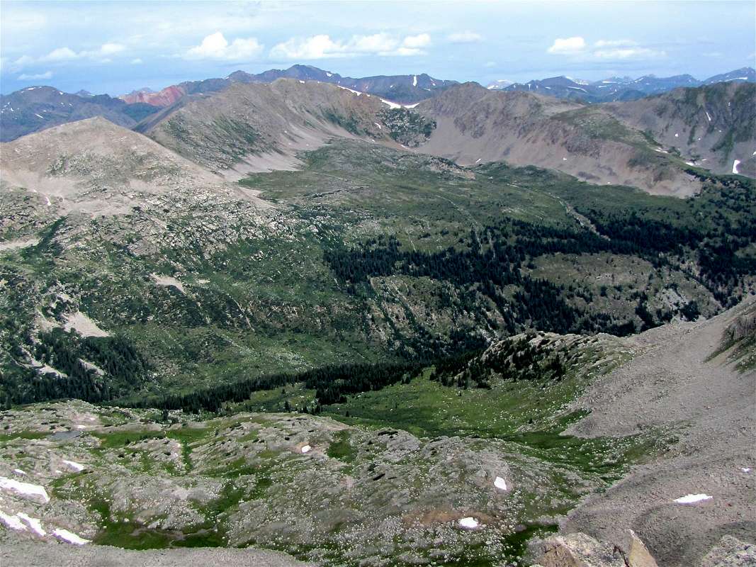
Hike up the easy slopes to reach the summit. Views from the summit of Peak 13295 ft.
 Red Mtn., Grizzly Peak Red Mtn., Grizzly Peak |
 Twining, Geissler Twining, Geissler |
 Anderson, Booby Prize Anderson, Booby Prize |
 Jenkins Mtn. Jenkins Mtn. |
 The other Grizzly Peak The other Grizzly Peak |
 Huron, Three Apostles Huron, Three Apostles |
 Ervin, Blaumark Ervin, Blaumark |
 La Plata La Plata |
 Lackawanna Lackawanna |
 Red Mtn. Creek & Taylor River Valleys Red Mtn. Creek & Taylor River Valleys |