|
|
Trip Report |
|---|---|
|
|
31.99400°N / 104.7615°W |
|
|
Feb 26, 2018 |
Overview
Permian Reef Trail takes you 2000 vertical feet up the slopes of McKittrick Canyon to a forested plateau at 7000 ft elevation. The trail was apparently built by geologists who wanted access to the Permian Period features on the walls of the canyon. Along the length of the trail, you will find 28 signed spots that showcase various features. You can buy an accompanying guidebook that explains each of those features. I did this hike because I wanted to hike and get good views. Took a glance at some of the marked spots but did not see anything large that I could identify.
Trip Report
I had found out that the gate on the road to Mckittrick Canyon Trailhead did not open until 8:00 a.m. (sunrise was 6:30 a.m.). I like to start my hikes at sunrise so I was unhappy that I had to waste so much time. Left the vacation rental home in Carlsbad, New Mexico before 7:00 a.m. and reached the gated road at 7:30 a.m. Was happy to find the gate open. . Drove the road 5 miles to reach the trailhead (5020 ft elevation). No one was there. I did not see anyone on the hike until the end of the day when I was almost back to trailhead.
Started my hike at 8:00 a.m. It was 46 degrees F and unlike yesterday when I hiked Guadalupe Peak, there was no wind so the weather was pleasant. My left knee had started to hurt yesterday. On my way up today, the knee did not bother me. The plateau that the trail was going to take me to, was probably on top of the mountains in front of me.
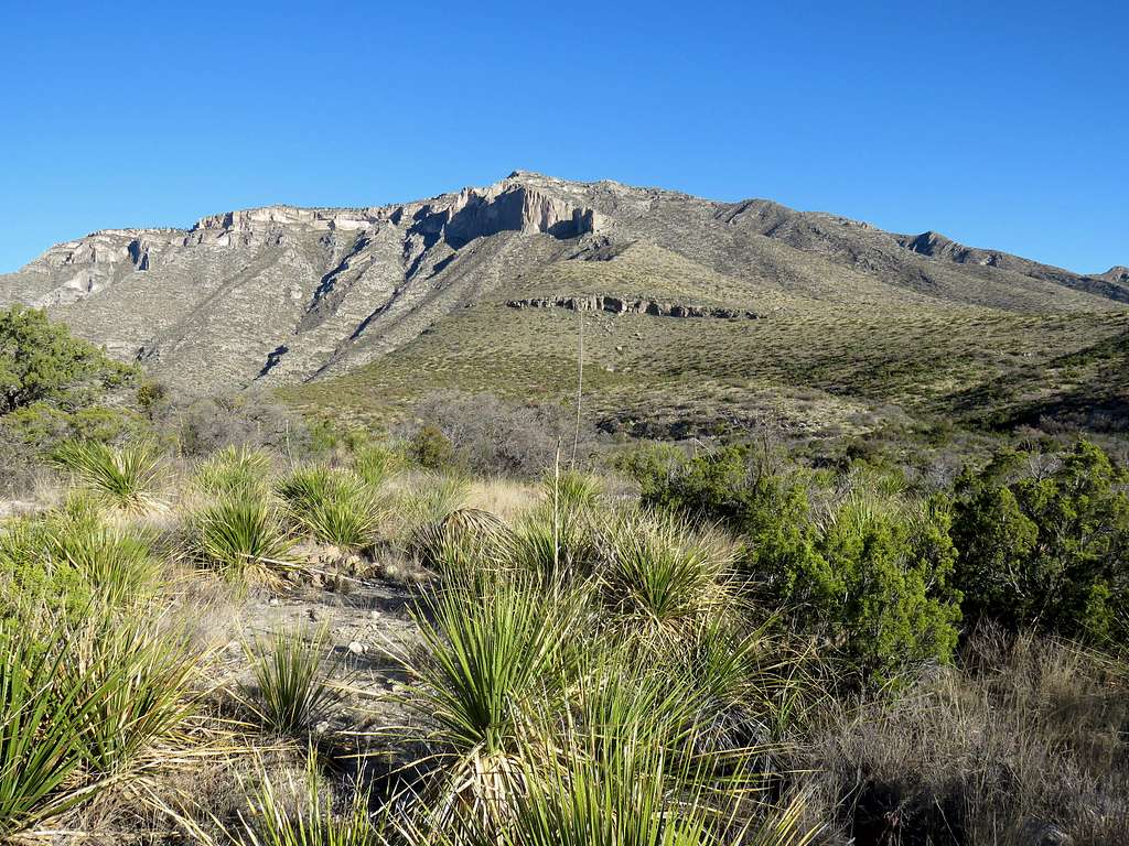
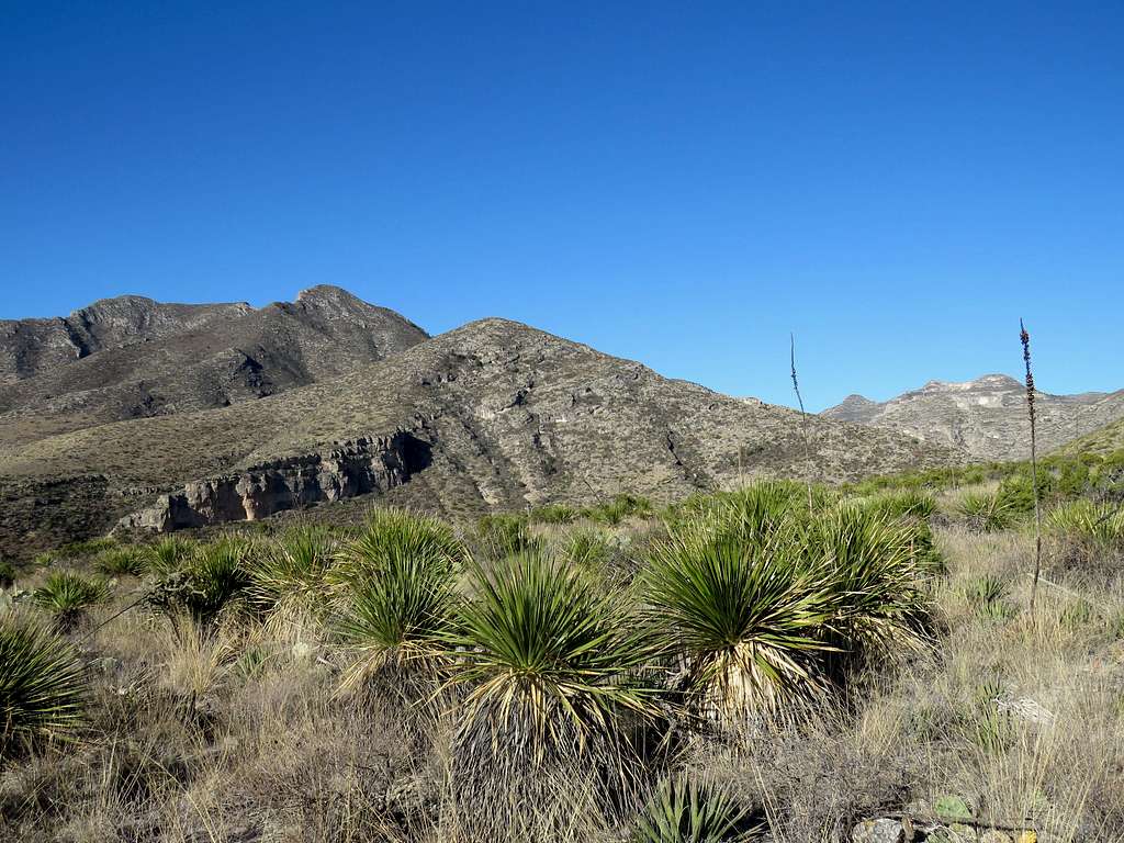
The well signed trail crossed Mckittrick Canyon’s dry wash and began to go up the slopes. Slopes/mountains on the other side of the canyon.
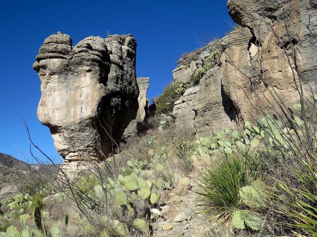
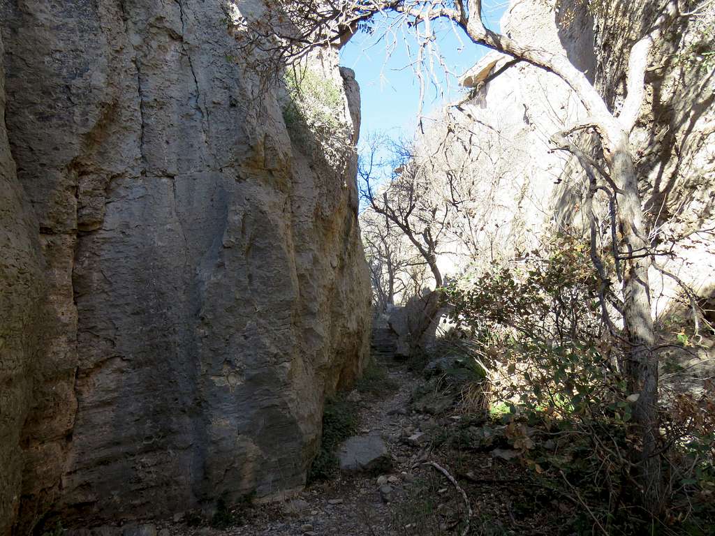
The trail soon reached a rocky area and went through the narrows.
View of the canyon from the slopes.
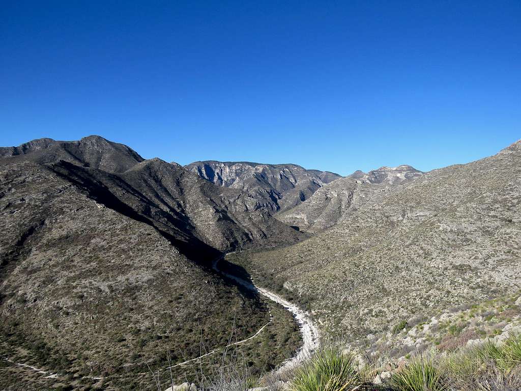
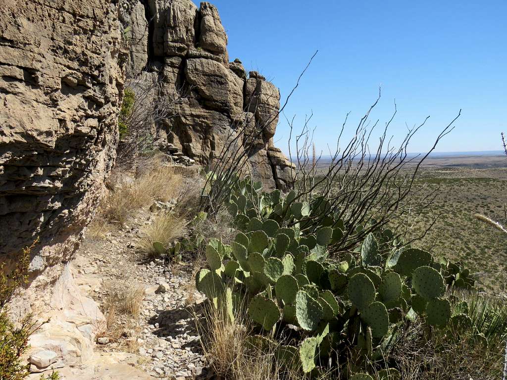
The trail went up below a number of cliffs.
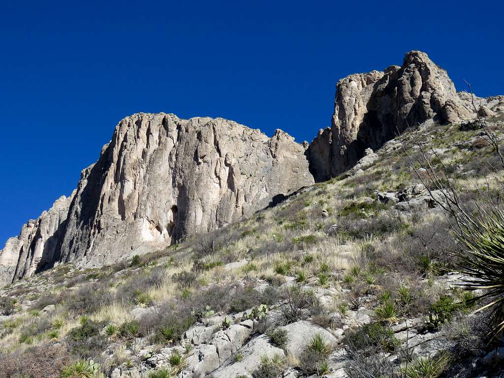
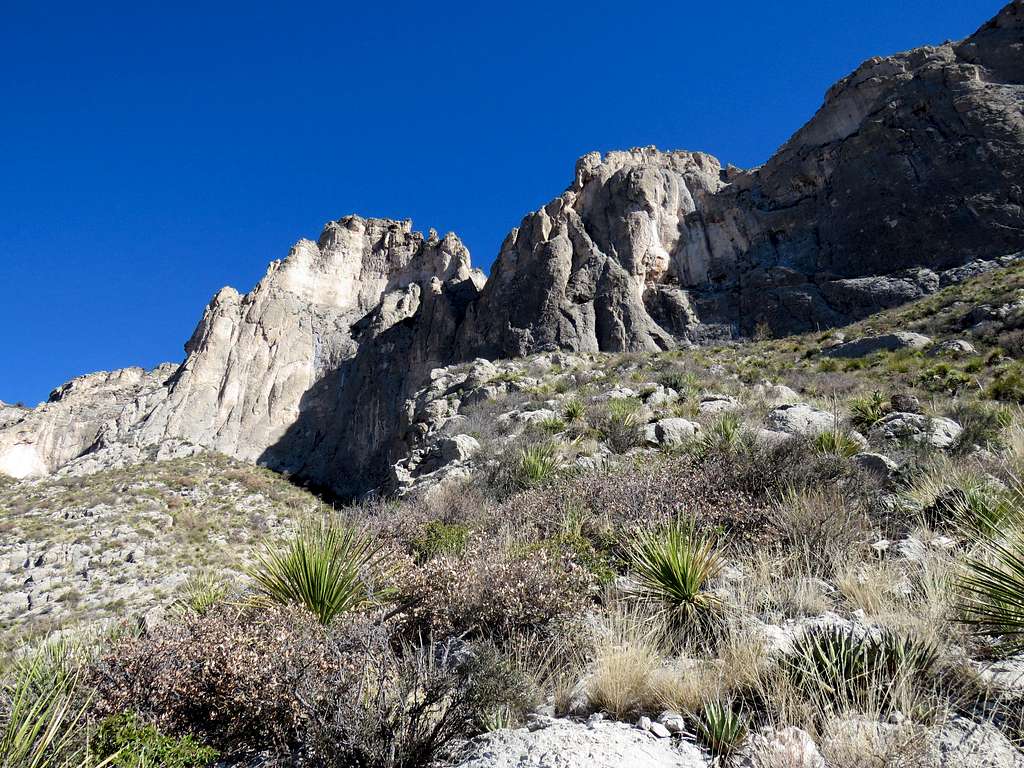
It then made a switchback and went on a slope besides the cliffs. From a spot, I could see that I was half way up the cliffs.
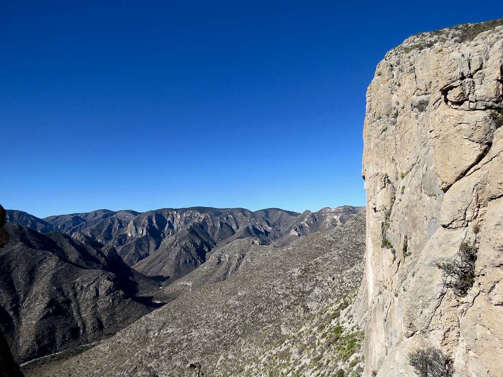
At 9:45 a.m., 3.20 miles and 7020 ft elevation, the slopes and the thorny desert vegetation suddenly ended. A plateau covered with brown grass and dotted with pine trees suddenly opened up. It became much cooler and the ground felt wet. Where did the moisture come from? I knew it had not rained there for at least many days.
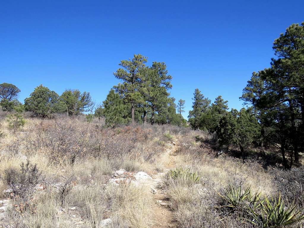
I had no view of Mckittrick Canyon from that spot. Maps/satellite photos had shown that if I continued on the trail, I would reach places on the edge of the plateau where I could get good views so I continued on the trail which went up and down small slopes in the pretty forest/meadow. I noted that any little downhill, caused discomfort in my left knee. I then reached one area at the edge of the plateau.
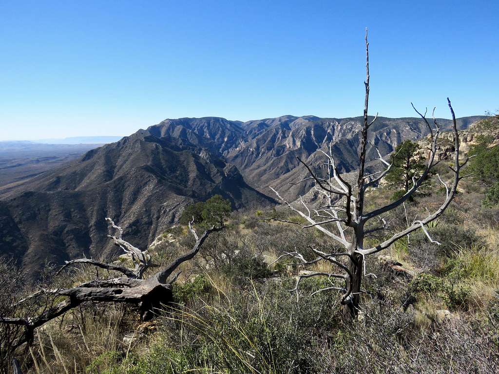
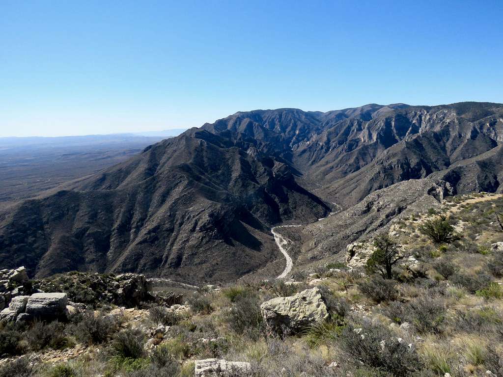
Continued on the trail going away from the edge until at 10:05 a.m., 4.05 miles and 7050 ft elevation, I reached another edge. I decided to sit there, have my lunch and enjoy the views. McKittrick Canyon was now directly below me.
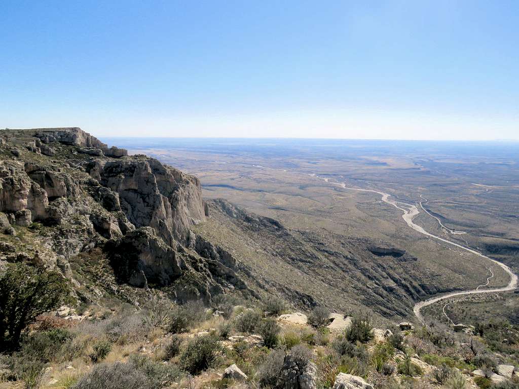
The plains of Texas could be seen 2500 vertical feet below to the southeast.
Left at 10:30 a.m. and began to retrace my way back on the surface of the plateau. I soon reached where the forest ended and the trail began to descend.
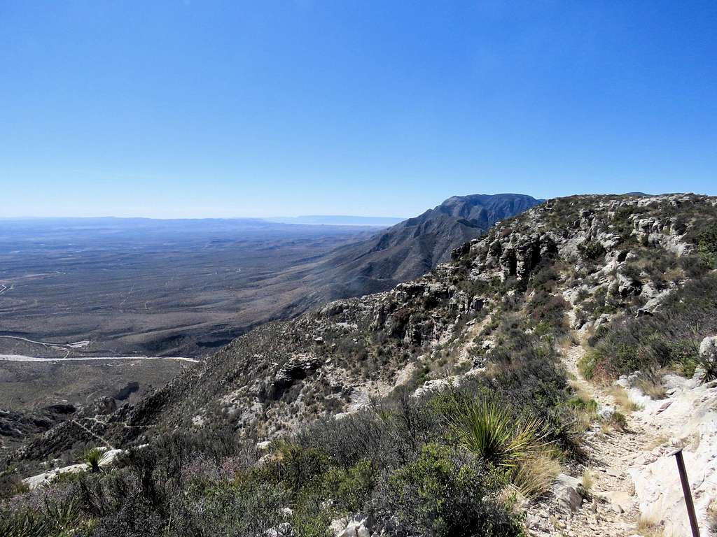
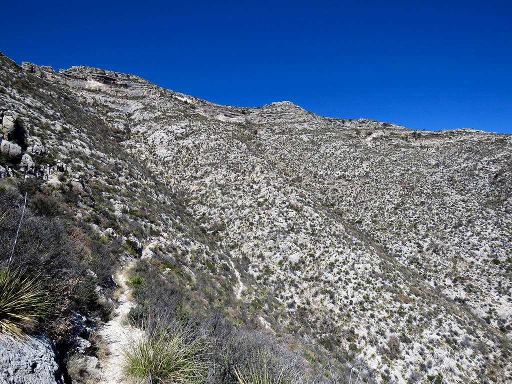
Going downhill proved to be hard on my left knee. With each step, I got mild pain on the lateral side of the knee joint. I must have developed iliotibial band syndrome. Little did I know that seven weeks later, as of this writing, I would still be suffering from knee problems that made me upset and afraid. Looking back up the slopes.
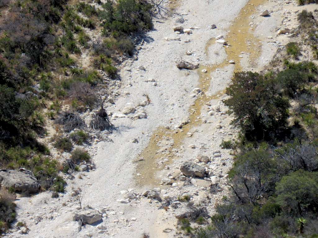
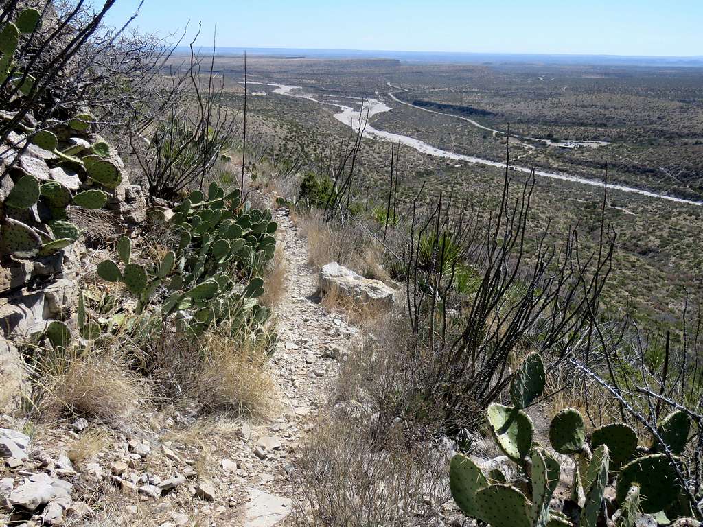
I then saw water at the bottom of McKittrick canyon. I knew it was not there in the morning. Where on earth did that water come from? No recent rain.
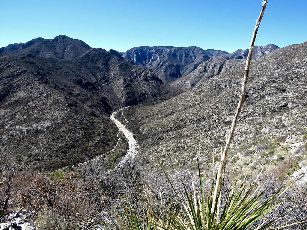
I then saw one person hiking downhill way down the trail. As I went, my knee pain became worse. I was almost using my hiking poles as crutches. Another view of Mckittrick Canyon.
I then reached that hiker and talked to him a little. He was taking his time taking pictures.
Near trailhead.
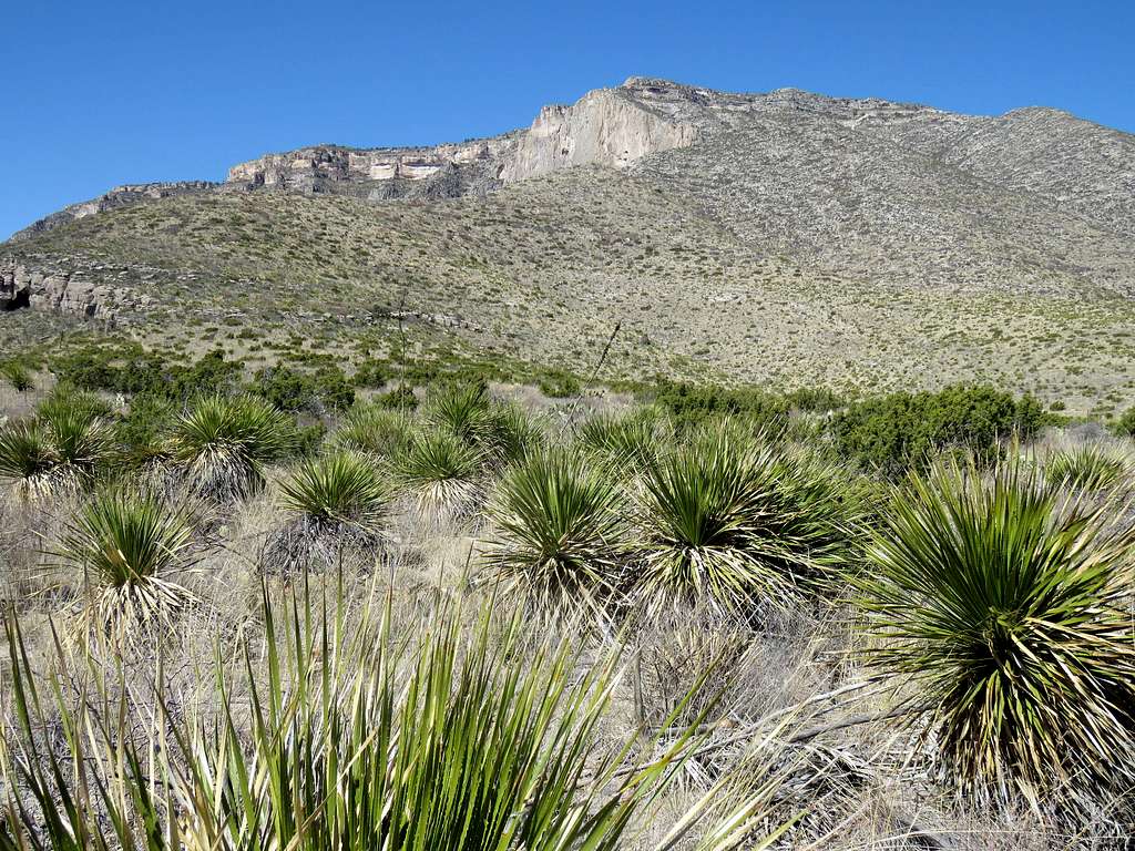
Reached my car at 12:40 p.m. My GPS said 8.07 miles.

