
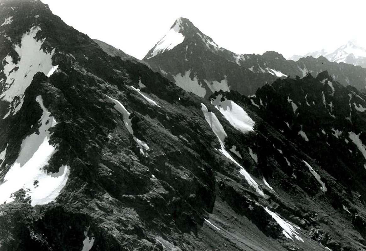
PIC GARIN (3461m) from "Becca" or Northwest 1978
In background from left or North: Pic Garin (3448m) or (3451 or 61m), behind Mont Valaisan (3307m).
From Summit to the right: towards South-southwest Buttress, between Arpisson/Grauson Walloons:
Punta Fleurie or Fiorito (3258m) or (3260m);
Punte di Lavà (3214m);
Fiorito or Fleurie Pass (3091m);
Arpisson Tower (3231m) or (3227m);
Pila Northeast Pass (3090m) or (3140m);
Pointes Coupèes d'Arpisson (3215/18m, 3220/4m, 3231m) or (3152m, 3157m, 3168m);
Pila Southwest Hill (3028m).
from Becca di Nona (3142m) or (3141m)
* * * Note: on the side in bold new satellite measurements.
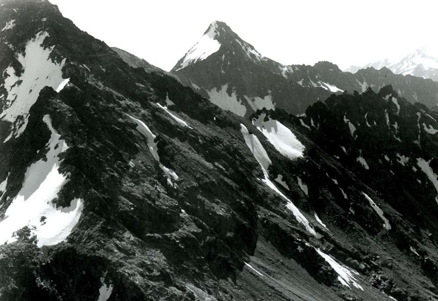
In foreground from left: Mont Ròss de Comboé (3301m), Ròss Pass (3091m) and Punte del Lago Gelato (3115m), after the ascent of North Wall "Becca";
In bottom to left: The Jag (3150m).
September 24th, 1978
Old B&W
by
Osvaldo Cardellina


