-
 6791 Hits
-
 86.37% Score
-
 22 Votes
|
|
Mountain/Rock |
|---|---|
|
|
46.32139°N / 114.27874°W |
|
|
Ravalli |
|
|
Hiking, Skiing |
|
|
Spring, Summer, Fall, Winter |
|
|
7830 ft / 2387 m |
|
|
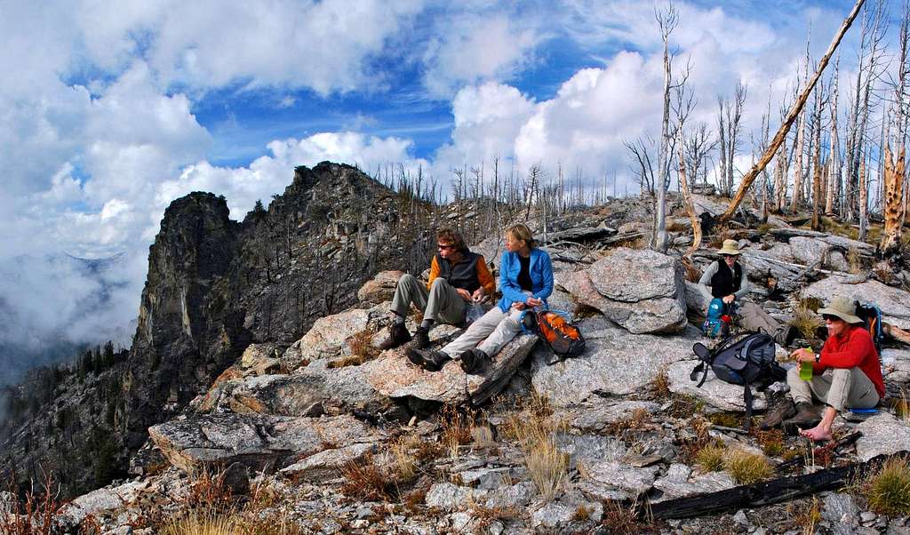
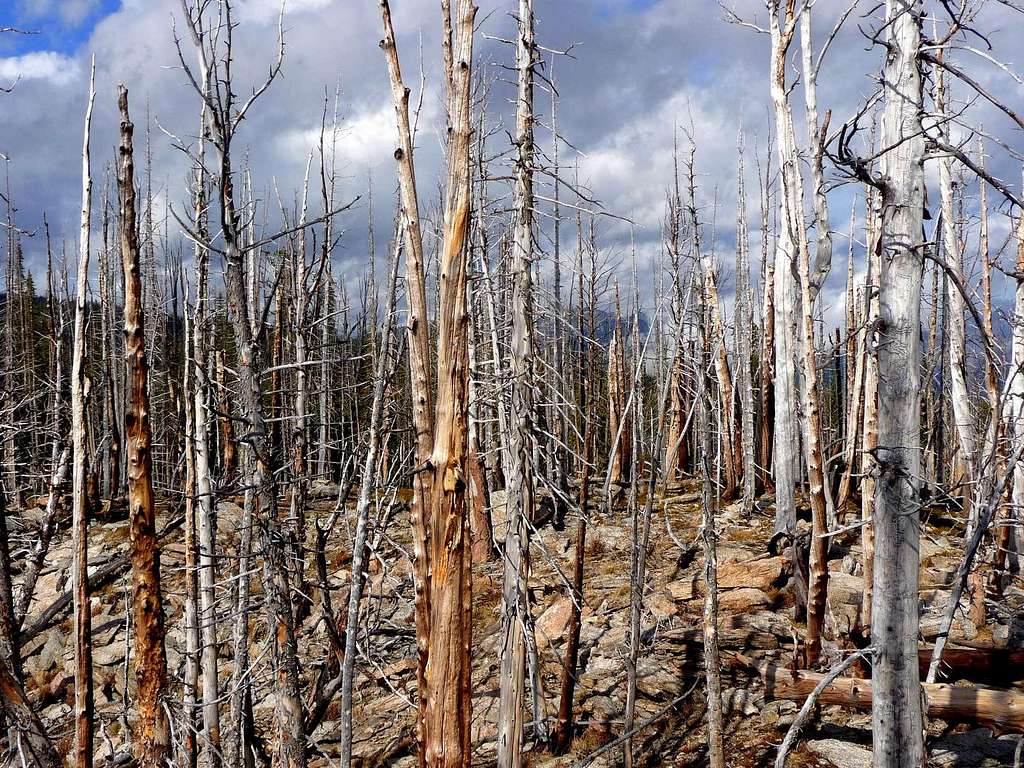
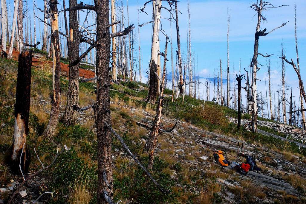
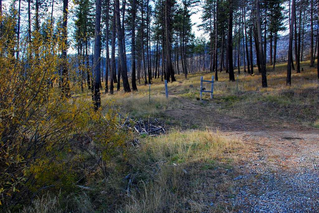
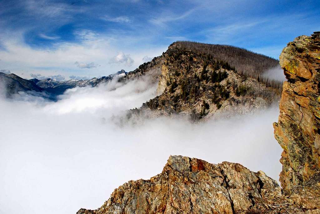
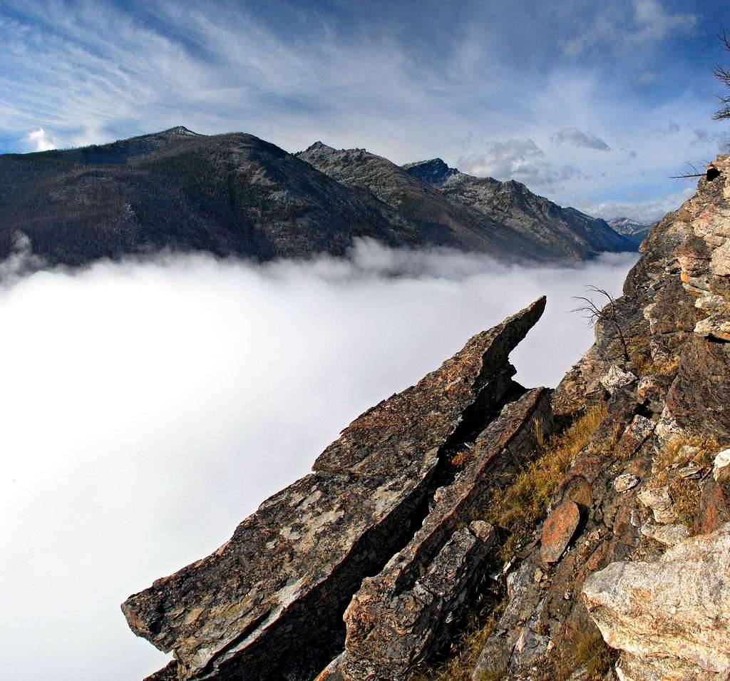
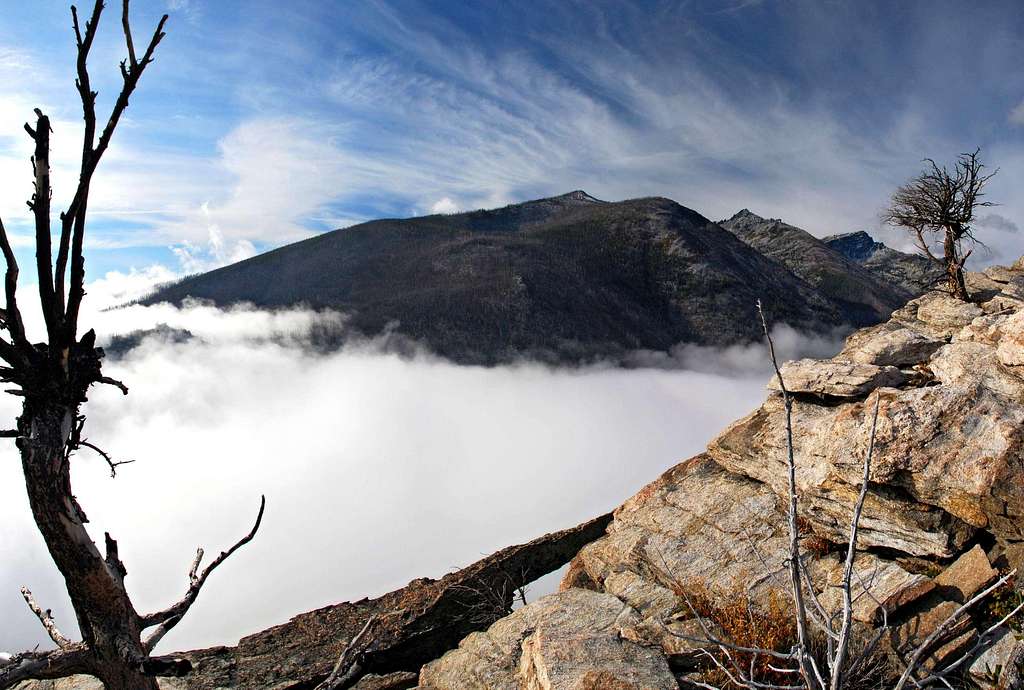
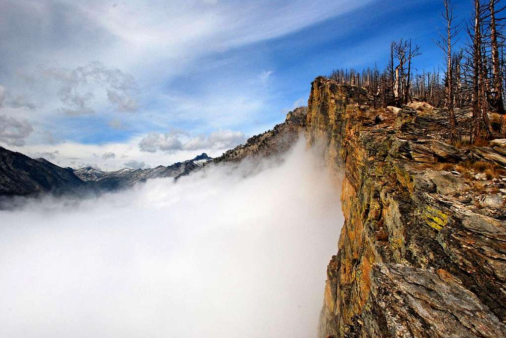
OverviewLatitude & Longitude – 46.32139 N / 114.27874 WRoute Type – Hike Elevation – 7,830’ Class Levels – Class 2 Length of Time Required To Complete Route – Less Than One Day Overlooked by most, I find Point 7830, known as Sheafman Point to some, a very interesting mountain and worthy of much more consideration from climbers and hikers. Being several hundred feel shorter than Mill Point, its nearest neighbor to the south, until the summer of 2000 this highpoint received almost no attention. Timber was first cut in quantity – clear-cut to be more precise – from its east face during the mid-eighteen hundreds. The forest slowly recovered over the years as the mountain receded into relative obscurity. Periodically a hardy climber or two followed the precipitous southern edge of the east face from the valley to the summit, but for the most part this mountain sat unnoticed by the local population. Even hunters avoided it. All that changed the year the world caught fire. Some of the most spectacular fires occurred on the eastern faces of the Bitterroot Mountains. Shielded from view during the day by thick smoke, the fires were most visible after dark when valley residents could see the mountains west of Hamilton and Corvallis covered in flame. Glowing embers were thrown high into the sky when tinder-dry trees exploded into flame. It was a spectacular and frightening sight ended only by heavy snows late in the year. Sheafman Point was one of those mountains hit hardest by the fires. Its entire east face was burned to such a point that barely a live tree was left standing. Through the winter of 2000-2001 and most of the next summer, this mountain along with Mill Point and Ward Mountain – its close neighbors to the south that had also suffered severe damage – were looked at from afar and considered by many to have been ruined. Only the mushroom hunters could see any good having come from the fires. But over the next few years, backcountry skiers realized the minimal number of trees on the east faces of these mountains meant there were likely to be some great winter adventures in places they had not skied before. Now (2008) the number of backcountry skiers on Sheafman Point and the other recently burned areas in the Bitterroot Mountains has grown substantially. I know of one person from Missoula, Montana, who loves skiing this mountain so much, he made the one hour drive six different times during the winter of 2007-2008 even though there are many other places to backcountry ski closer to his home. That fact alone indicates there must be some very special skiing on this particular peak. In spite of the fact that it’s been discovered by skiers, the number of hikers and climbers on Sheafman Point has not increased to any great degree. I’m not really sure why. Even though it tops out at only 7,830 feet, the amount of elevation gain from the trailhead is substantial and certainly enough for someone wanting a strenuous outing. Granted, the difficulty is only Class 2 but the views from the route up the southern edge of the east face are gorgeous, and the western vista from the summit is simply astounding. Maybe more than most, I love to get way back in the Selway-Bitterroot Wilderness and enjoy climbing in such locations more than almost anywhere. But for a great one-day outing at any time of year, with two easy-to-reach trailheads and great views along the route and the summit, Sheafman Point is difficult to beat. Note: A few of the area's testosterone poisoned back-country skiers call this peak Nipple Knob because of its appearance when winter winds blow the summit block free of snow while the rest of the mountain remains covered. Getting ThereSheafman Point Trailhead (elevation 4,375’)From Hwy 93 about 5 miles north of Hamilton, turn west at the Woodside Crossing (marked by a stop light) onto Dutch Hill Road. In about 2.5 miles you will reach a T intersection. Turn right (north) onto Bowman Road and follow it as it completes two 90 degree turns (left then right – west then north). In 1.2 miles turn left (west) onto the gravel West Cow Creek Road. Drive an additional 1.75 miles to the trailhead, which is in the corner of a right-turning switchback (the first one you reach on Cow Creek Road). There is room to park several vehicles without blocking the road. Mill Creek Trailhead (elevation 4,125’) At the stoplight on Hwy 93 about 4.5 miles north of Hamilton, MT, turn west onto Dutch Hill Road. Follow Dutch Hill Road west for 2.5 miles to its end at the T intersection with Bowman Road. Turn left (south) onto Bowman Road and drive about .5 mile (just past the bridge over Mill Creek). Turn right (west) at the sign for Mill Creek Trailhead onto the gravel road (FS 1328) and follow it for just over .75 miles to the trailhead. There is a Forest Service picnic area and plenty of parking available at the trailhead. Area Restrictions (Red tape)The road to the Sheafman Point Trailhead is gated between October 15th and June 15th to provide some protection for big game animals. The gate is downhill less than half a mile from the trailhead so it’s not much of an inconvenience for climbers or skiers. CampingThere are no official camping areas along the routes to the summit. In fact, there are really no good places (nor reasons) to camp for the comparatively short outing to this summit.The Routes
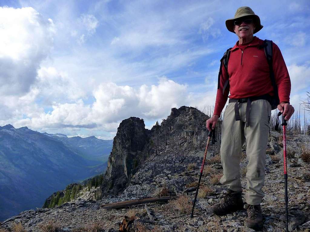
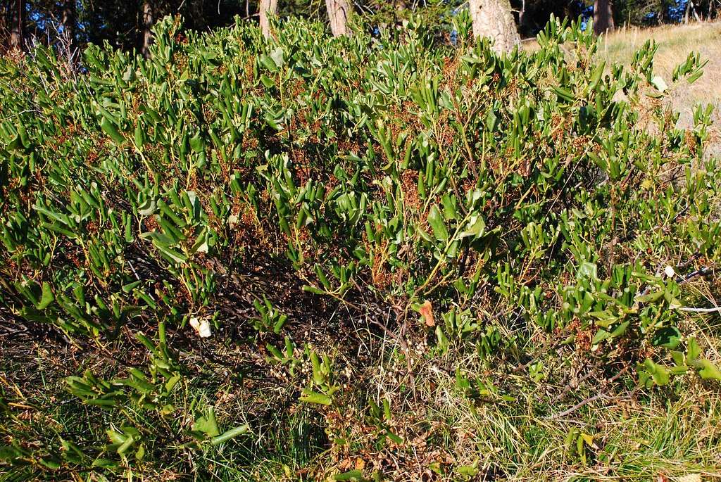
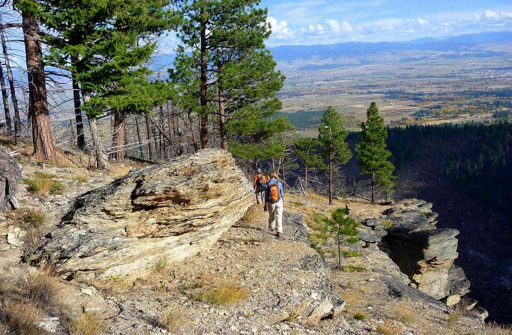
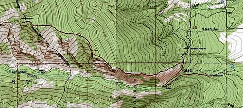
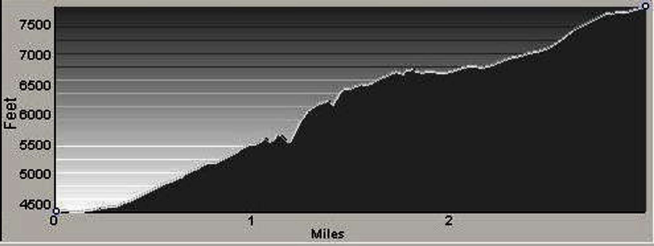
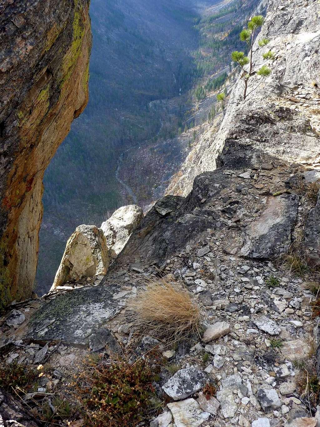
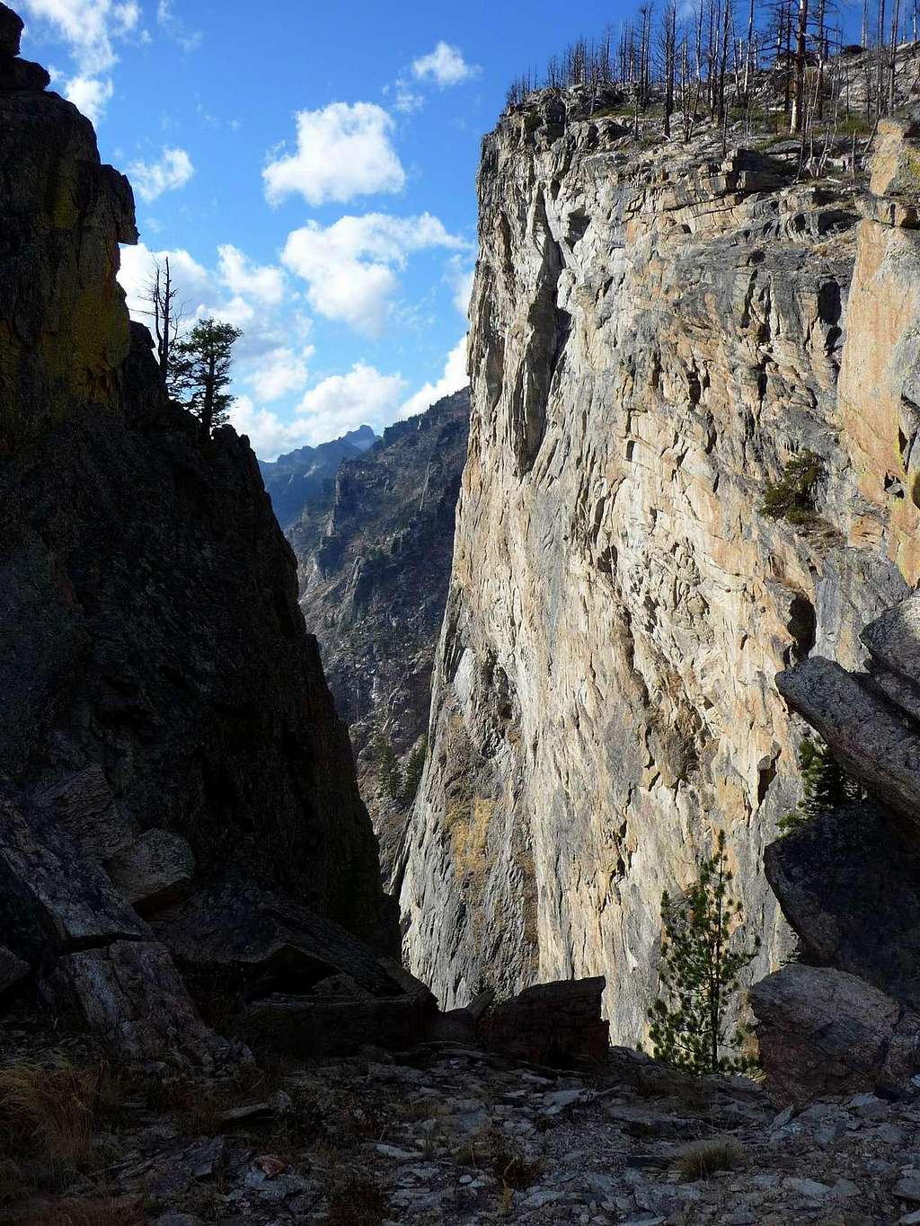
From the Sheafman Point Trailhead – 3.2 miles (one way) with 4,339’ of elevation gain (round trip) Proceed south on the well-defined trail for approximately .3 mile to an elevation of 4,460 feet (46.31326 N / 114.23102 N). Leave the trail and hike uphill to the west-southwest working your way toward the southern edge of the mountain’s east face. Note: By staying close to the southern edge of the face – directly above the sheer cliff faces above Mill Creek – you will avoid most of the thigh-high brush which covers large areas on the lower portions of the mountain. Once you reach the southern edge of the face, work your way upward toward the summit, enjoying the many spectacular overlooks into Mill Canyon along the way. From this point on, route-finding is simple. All one has to do, is stay close to the top of the cliffs above Mill Creek. Following the cliff tops, the remainder of the route proceeds in a westerly direction, then northwest, before finally swinging due west across a gentle incline just below the granite summit blocks. Descend by reversing your ascent route. From the Mill Creek Trailhead – 4.1 miles (one way) with 4,619’ of elevation gain (round trip) Hike along the connecting trail as it does a climbing traverse back to the east before gaining the east face of Sheafman Point. Once you’re well onto the mountain’s east face, leave the defined trail and make your way uphill to the west-southwest, working toward the southern edge of the mountain’s east face. Though you can leave the defined trail at any point once you’re on the face, do not proceed more than .5 mile from the bridge and an elevation of 4,460 feet (46.31326 N / 114.23102 N). Otherwise unnecessarily you’ll find yourself in large areas of brush which grow at the lower elevations on the mountain. Once you reach the southern edge of the face, work your way upward toward the summit, enjoying the many spectacular overlooks into Mill Canyon along the way. From this point on, route-finding is simple. All one has to do, is stay close to the top of the cliffs above Mill Creek. Following the cliff tops, the remainder of the route proceeds in a westerly direction, then northwest, before finally swinging due west across a gentle incline just below the granite summit blocks. Descend by following this route in reverse. When To GoEssential GearDuring the summer hiking and climbing season, only good hiking boots and weather-appropriate clothing are required to reach the summit. When snow is present along the route, skis with skins or snowshoes will be needed except on a fine spring morning when the snow is well consolidated and not yet softened by the sun.Be advised that because the route proceeds up an east-facing slope, the window for still-solid snow during the spring is a few short hours each day. On many sunny days, the surface turns a bit slushy well before noon. Route StatisticsAdditional Pictures |


