-
 4460 Hits
-
 89.01% Score
-
 28 Votes
|
|
Mountain/Rock |
|---|---|
|
|
46.00786°N / 114.31669°W |
|
|
Ravalli |
|
|
Mountaineering, Scrambling |
|
|
Spring, Summer, Fall |
|
|
8517 ft / 2596 m |
|
|
Overview
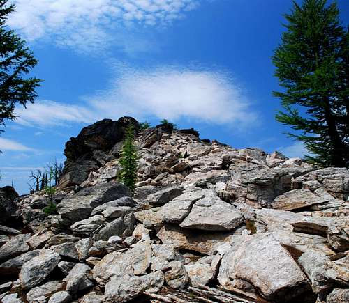
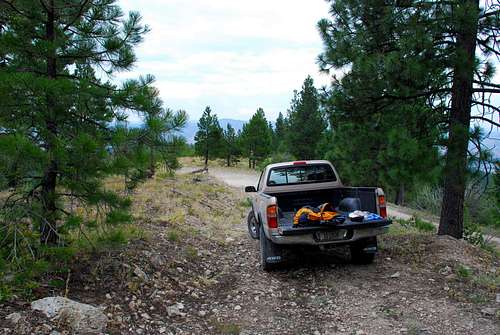
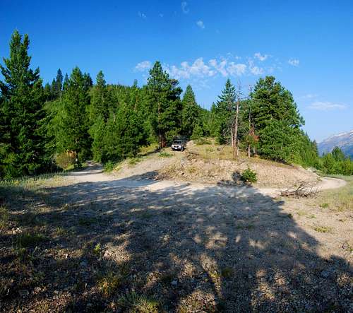
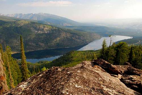
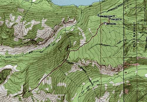
Latitude & Longitude – 46.00783 N / 114.31669 W Route Type – Scramble Elevation – 8,517’ Class Level – Class 3 Length of Time Required To Complete Route – One Day Though I’d seen it many times before, Point 8517 first got my attention while I was looking for a route to East Como Peak. When possible my preferred routes generally follow ridge-crests, and there it was, Point 8517 or, as I call it, Como Point, sitting along the east ridge a little more than a mile from the summit of East Como. I decided it was time for a visit. What I discovered was that Como Point is no pushover. There is a considerable stretch of serious bushwhacking low on the route through an old burn now covered with a thick growth of 8-10 foot high trees, shrubs, and many downed trees. And just west of Point 7629, a nice overlook along the route, is a section which requires Class 2+ and 3 climbing. The bushwhacking and the rock climbing change reaching the summit of this peak from a simple hike into a serious climb. A little over a third of a mile from the trailhead (46.03787 N / 114.26256 W) is the location of an automated weather station. Though the small clearing around this site may seem to be a blight on the wilderness when you’re beginning your climb, believe me, after bushwhacking your way through very dense underbrush during the descent, this indication of civilization is a welcome sight. Getting ThereShortly after the road turns to gravel, you should see a sign for FR 550 and the Little Rock Creek Trailhead. Follow FR 550 for approximately 3.5 miles (south and west) to a second road junction. Go straight ahead (west, don't turn south) on the slightly rough, single-lane road a short distance to the marked trailhead for the Little Rock Creek Trailhead just before a sometimes-locked Forest Service gate. Continue east-southeast past the gate to the top of the ridge (less than half a mile) to the next switchback (road turns south). Look for an abandoned road, blocked with an earthen berm, on your right (west) on the ridge-crest. The unmarked trail begins by following this abandoned road. There are several places to park in this fairly open area on the ridge-crest, but no restroom facilities. Area Restrictions (Red tape)By the time you reach 7,400’ on the ridge, you will be traveling along an official Wilderness Boundary, and when you pass Point 7,629’ you enter the Selway-Bitterroot Wilderness Area. All wilderness rules and regulations apply. CampingThe closest developed camp sites are at Lake Como. People do car camp at (or near) the trailhead, though no water is available.The only nice places to camp which I saw along the route are just below the summit in a small open area. However, I’m not masochistic enough to carry camping gear while bushwhacking through the substantial brush and downed trees low on this route just to spend a night high in the mountains. People sometimes do car camp in the immediate area around the trailhead. The Route
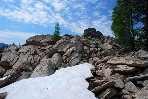
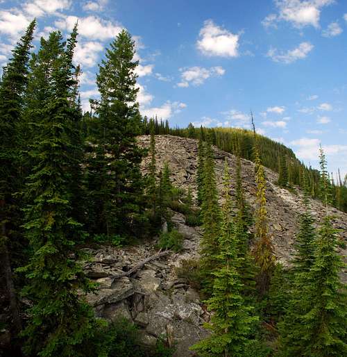
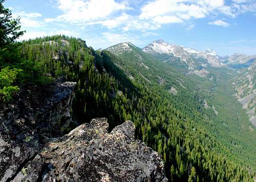
About .4 mile from the trailhead you will reach the Little Rock Creek Automated Weather Station (5,507' elevation 46.03787 N / 114.26256 W). Continue following the crest of the ridge as it proceeds first west then southwest. As you climb, the forest becomes ever thicker, blocked in some areas with patches of extremely thick underbrush and new-growth trees. My advice is to take your time and conserve energy by working around the thickest patches whenever possible. Unfortunately it is not possible to avoid them all. As you pass 6,000’ elevation, the forest thins a bit and the worst patches of underbrush are behind you. The route begins to encounter more patches of rock and talus, a happy exchange for underbrush. When you reach an elevation around 7,300’, the incline lessens and the woods becomes quite open. Follow the now-broad ridge-crest as it turns south-southwest toward Point 7629. The first highpoint on the route, Point 7629, is a good place to rest and survey the rocky ridge-crest you will next be traveling in a southwest direction. By staying to one side or the other of the actual crest and the many gendarmes which protect it, you can keep climbing to Class 2+ or Class 3. (If you attempt to stay right on the crest, the climb will quickly become technical.) Both during ascent and descent I stayed on the south side of the ridge and found no serious difficulties. From Point 7629 proceed northwest then climb down through a small saddle to the south side of the ridge-crest. Though my advice is to drop to about 7,500’ then traverse along the south side of the ridge to its lowpoint at 7,400’, feel free to find your own line. If you stay higher the climbing is more difficult, and if you go much lower the side-hilling is murder on your feet and ankles. After reaching the ridge’s lowpoint, climb through an open woods of Alpine Larch and Whitebark Pine southwest along the crest of the ridge. As you climb, the highpoint you see is only a false summit at around 8,200’ elevation. Though the summit is not yet in sight, the climbing beyond the saddle is Class 2 (Class 2+ at most) over stable talus and grassy areas. The scenery is astounding and the climb very enjoyable. The summit area is dominated by three widely-separated blocks with the eastern-most being the actual summit. To descend, retrace this route (in reverse) to the trailhead. One note of caution. Once you’ve descended to an elevation of about 6,400’, be extremely careful to stay on the correct ridge. The forest is quite thick and the ridge rather wide at this point. It’s easy to veer to the right (east) and end up in the middle of nowhere. My advice is to err to the left (west). The northwest side of the ridge falls off much more steeply than the southeast and is a good indicator that you’re following the correct line. Better yet, carry a compass (and map) or GPS to keep you on track. When To GoThough I recommend this route not be used unless the snow is well-consolidated, I must say that having snow on the route makes it much easier to travel through areas low on the ridge that otherwise require some serious bushwhacking during the summer hiking and climbing season. Probably the best time to reach this summit is during the spring when the area low on the ridge is covered by well-consolidated snow but the higher portions of the route have been mostly cleared of snow by the wind. To reach the trailhead when the road to the trailhead is snow covered will add about 4.5 miles (one way) to the route. However, it’s a nice uphill ski along the road which is not steep enough to require skins; however you will need skins after leaving the road. Essential GearOnly standard hiking gear and weather-appropriate clothing are required to complete this route, unless you visit when snow is present. Then, depending upon the condition of the snow, you may need either skis (with skins) or snowshoes. Be advised that because rock climbing is required on this route no matter when you visit, you will be carrying your snow equipment on your back over the climbing portion of the route.If you climb this route on snow, bring an ice axe. There may also be times when you want crampons, especially on the section of the route just west of Point 7629. Route Statistics |


