-
 4188 Hits
-
 75.81% Score
-
 6 Votes
|
|
Trailhead |
|---|---|
|
|
46.03976°N / 114.25948°W |
|
|
Ravalli |
|
|
Spring, Summer, Fall, Winter |
|
|
5260 ft / 1603 m |
Climbers' Access for Como Point and East Como Peak
Shortly after the road turns to gravel, you should see a sign for FR 550 and the Little Rock Creek Trailhead. Follow FR 550 for approximately 3.5 miles (south and west) to a second road junction.
Go straight ahead (west, don't turn south) on the slightly rough, single-lane road a short distance to the marked trailhead for the Little Rock Creek Trailhead just before a sometimes-locked Forest Service gate.
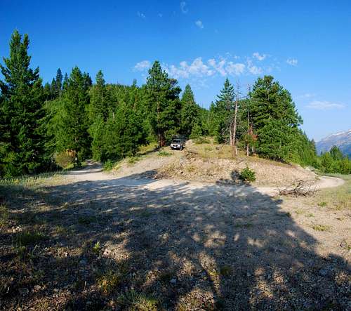
Continue east-southeast past the gate to the top of the ridge (less than half a mile) to the next switchback (road turns south). Look for an abandoned road, blocked with an earthen berm, on your right (west) on the ridge-crest. The unmarked trail begins by following this abandoned road.
There are several places to park in this fairly open area on the ridge-crest, but no restroom facilities.
For information about Como Point, see the link included in the following picture's description.

|
|---|


