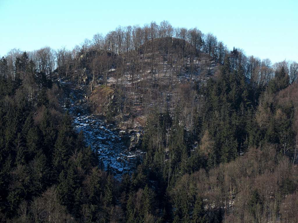
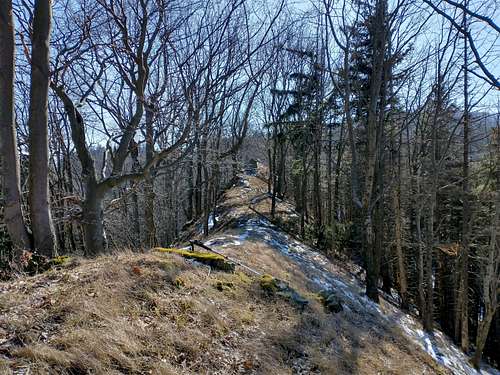
The northeast ridge of the Suche Mountains culminates in Jeleniec at 902m, the fourth highest summit in the range. Jeleniec, before World War II called Lange-berg (Long Mountain), is a rather flat, not very attractive peak. Far more interesting is what lies to the northeast of Jeleniec – the eastern end of the Jeleniec Ridge, shattered by tectonic faults and covered in landslides, which were probably active just after the Ice Age had ended. The focal mountain in the area is Rogowiec at 864m (according to the latest measurements; 870m on most maps). Its summit is 150 metres north of the saddle (at nearly 830m) dividing it from Jeleniec.
NNE of Rogowiec's summit
NE of Rogowiec's summit
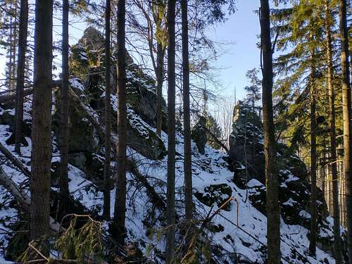
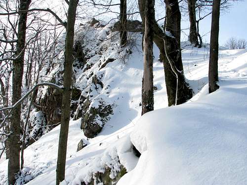
Skalna Brama
Looking east from Rogowiec
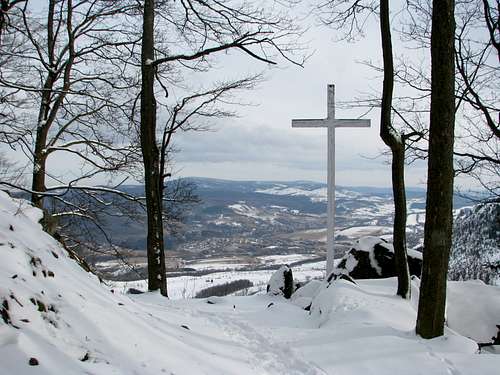
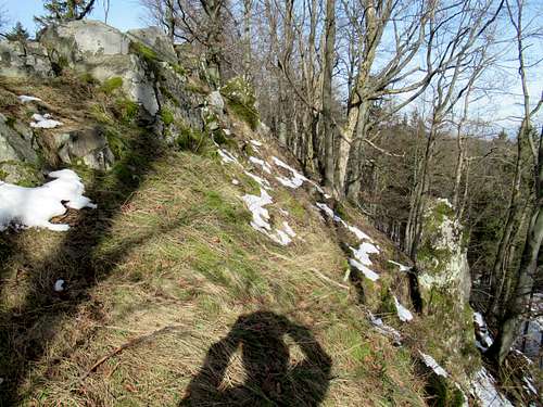
Close to the saddle are two interesting objects. On the Jeleniec side sits Skalna Brama (Rock Gate) marking the line of the main scarp of a landslide which split a rocky knob in two, thus creating this rock formation. On the Rogowiec side is a vantage point with a wooden cross. The spot commands a splendid view across the town of Głuszyca, towards the Sowie Mountains.
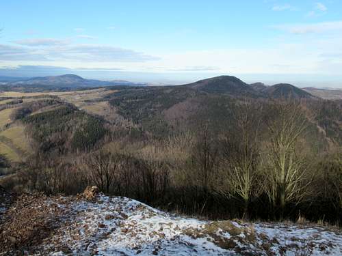
Borowa & Chełmiec from Rogowiec
Rogowiec - just below summit
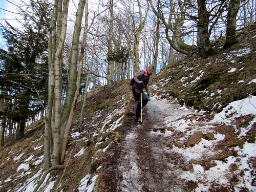
The southern path
Approaching Rogowiec from NE
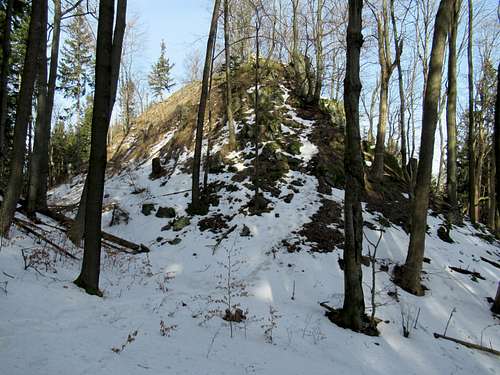
Rogowiec, whose German name was Hornsberg, has less than 40 metres prominence, but nevertheless, due to its shapely and conical top, is a landmark. On the summit are ruins of a medieval castle founded by a Polish prince Bolko I. The best views are towards the highest sumits in the nearby Wałbrzych Mountains, namely Borowa and Chełmiec. On the western horizon Śnieżka shows off. If the paths leading to the summit are icy, crampons or mini-crampons are advisable - between the summit and the pass separating it from Jeleniec they are actually a must.
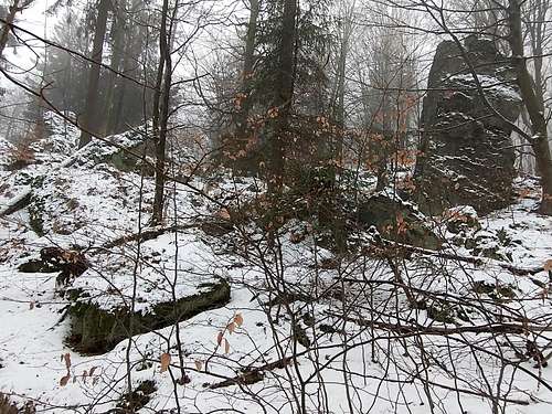
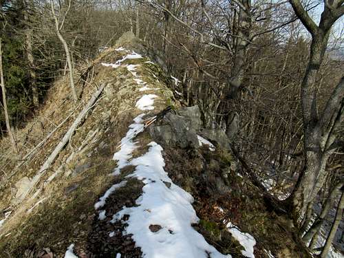
Before it ends northeast of the summit of Rogowiec, the Jeleniec Ridge splits in half, thus forming its north and northeast spurs. The north spur, whose summit has no name on today’s maps, is a hidden treasure, unique to the Sudetes: narrow and with steep sides, it looks like an arete even though it wasn't formed by glaciers but by a landslide. It is a couple of hundred metres long, nearly all of it obscured by trees. Its east face is cliffy – most of it is the scarp of a massive landslide. Its west and north sides are also steep and covered by dense thickets of trees and shrubs.
Jelenia Grań from S
At S end of Jelenia Grań
Jelenia Grań at its summit
N section of Jelenia Grań
Before World War II this mountain/ridge was called Hirschberg (Deer Mountain). After the war that name was officially replaced with Jeleniec Mały, but the new name has stuck to the less interesting northeast spur (yellow marks, few people, pleasant trail!), which marks the east end of the Jeleniec Ridge. The way I see it, an appropriate name for the sharp north spur, whose elevation is 776m (according to the latest measurements, not what you see on today’s hiking maps), would be Jelenia Grań, meaning Deer Arete/Crest. It is readily accessible from the south. A faint path branches off north from the waymarked trail (blue and red marks) about 170 metres from where the trail leaves the forest road that winds up here from the Rybna valley. But I made my first ascent of Jelenia Grań from the north, in February, and it was much more of a challenge: on the last several metres before reaching the top of the ridge, which is quite wide here unlike at its south end, I did wish I had an ice-axe instead of trekking poles.
Upper part of a landslide
Jeleniec Mały - ridge-top graben
Getting There, Maps & Trails
If you are driving, you have these access points to choose from:
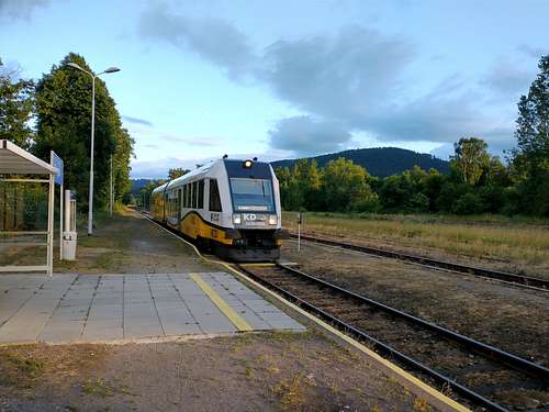
A convenient and pretty comfortable alternative is travelling by train and getting off/on at Głuszyca or Jedlina Zdrój. The trail from Głuszyca (yellow marks) runs through Grzmiąca, where a quaint wooden church from the 16th century stands by the main road. The trail from Jedlina ascends a pass called Przełęcz pod Sajdakiem or Przełęcz pod Wawrzyniakiem (Sajdak and Wawrzyniak are the summits on the Jałowiec Ridge (part of the Wałbrzych Mountains) between which the pass sits). The trail crosses the pass at about 570m and drops into the valley of Rybna. The trail from Andrzejówka Hut is the least interesting and the least demanding, the main attraction being the hut itself.
Gomólnik Mały, Jeleniec & Rogowiec
Start point
Distance (km)
Approximate total elevation gain (m)
Grzmiąca’s upper (W) end
1.7
200
Głuszyca train station
5
400
Rybna valley – car park by Gospoda Sudecka (inn)
2.3
350
Jedlina Zdrój train station
4.2
500
Andrzejówka Hut
3.6
200
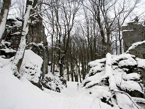
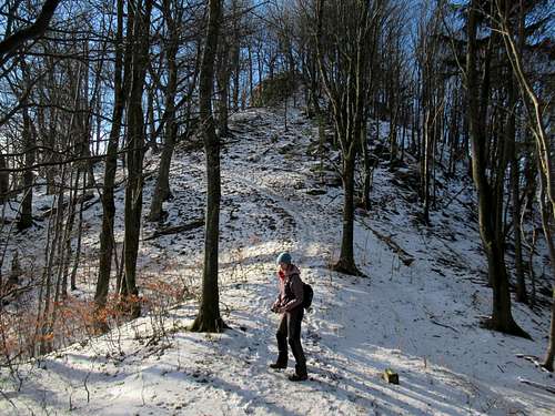
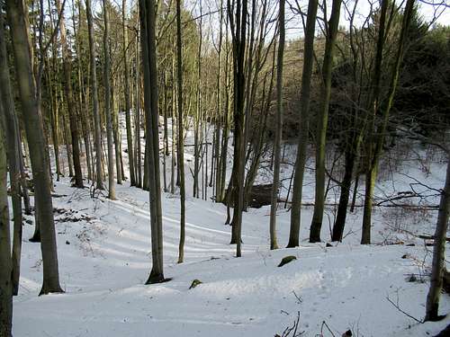
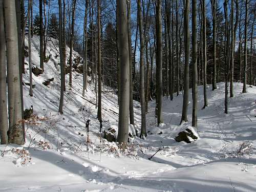
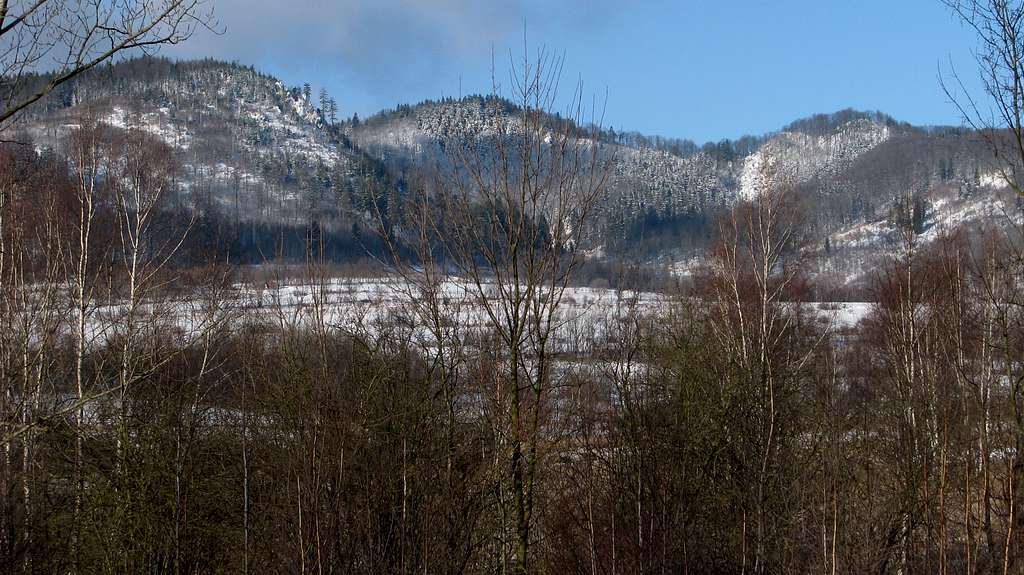
The above photos were taken on the waymarked trail between the railway station at Jedlina Zdrój and the valley of Rybna.
Red Tape & When To Go
No red tape except that camping is not allowed.
At weekends there can be crowds between Rogowiec and Andrzejówka Hut.
In winter mini-crampons or crampons are advisable. Going in winter lets you see the rocks much better as they are not obscured by vegetation.
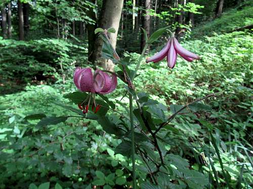
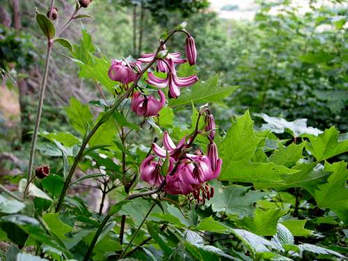
The best time to see the martagon lilies in bloom seems to be the second half of June.
Parents refers to a larger category under which an object falls. For example, theAconcagua mountain page has the 'Aconcagua Group' and the 'Seven Summits' asparents and is a parent itself to many routes, photos, and Trip Reports.