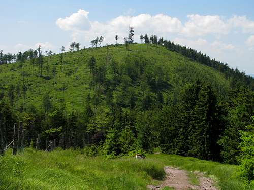
Ruprechtický Špičák (German name: Ruppersdorfer Spitzberg) takes its name from its conical shape and from the village of Ruprechtice that lies at its southern foot. It is the highest peak on the main ridge of the Javoří/Suche Mountains. The summit, whose prominence is 134m, lies within the confines of Czechia although the Czech-Polish border traverses the east side of the mountain just below the quite broad summit area.
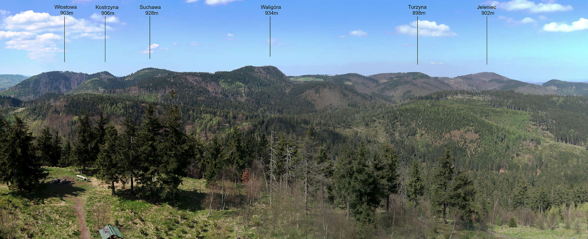
Highest peaks in Suche/Javoří Mts
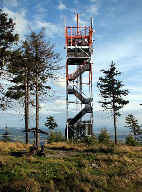
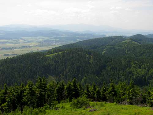
The Czech transmitter tower on the summit of Ruprechtický Špičák also serves as an observation tower, making for the best viewpoint in the range. It provides sweeping views of the Javoří/Suche and Sowie ranges and – across the Broumov Basin – of the tablelands of the Central Sudetes. In the west the Giant Mountains with Sněžka/Śnieżka loom on the horizon, but the best is the view of the highest peaks in the Javoří/Suche Mountains, which sit a few kilometres north of the main ridge.
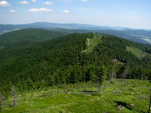
Easterly view
The tower
Westerly view
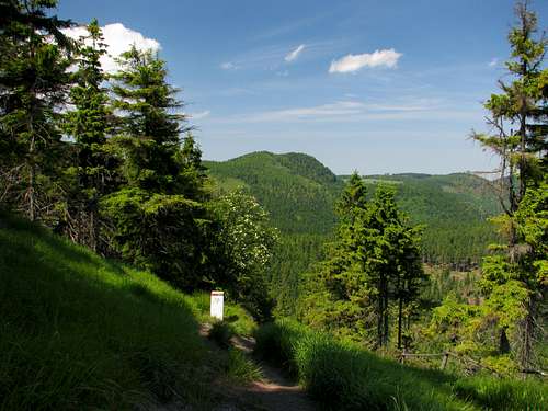
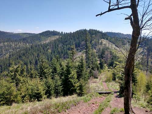
Trails
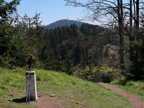
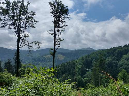
Waligóra from Špičák
The most frequented route is from a Polish hut called Andrzejówka, located just about three kilometres north of the summit and accessible by car. The Czech trail from the village of Ruprechtice is more or less of equal length. But to my mind the longer options, seeing hardly any traffic on weekdays, especially those including parts of the main ridge (wilder) or the summit of Kostrzyna (more rugged) are much more satisfying.
Trail from
Approx. distance (km)
Approx. total elevation gain (m)
Andrzejówka Hut (shortest)
3.3
210
Ruprechtice bus terminus
3.3
400
Sokołowsko via Kostrzyna summit*
5.6
490
Sokołowsko via Sokołowska Pass
5.9
460
Kowalowa bridge via Malinowa St. and main ridge*
7.2
over 600
Głuszyca train station via Trzy Koguty Pass*
8.5
570
* partly unmarked
Hidden Špičák ahead
When To Climb
At weekends there can be crowds between the summit and Andrzejówka Hut.
In winter mini-crampons or crampons are advisable.
Children refers to the set of objects that logically fall under a given object. For example, the
Aconcagua mountain page is a child of the 'Aconcagua Group' and the 'Seven Summits.' The
Aconcagua mountain itself has many routes, photos, and trip reports as children.
Parents refers to a larger category under which an object falls. For example, theAconcagua mountain page has the 'Aconcagua Group' and the 'Seven Summits' asparents and is a parent itself to many routes, photos, and Trip Reports.