
-
 8360 Hits
-
 83.69% Score
-
 17 Votes
|
|
Mountain/Rock |
|---|---|
|
|
33.67270°N / 116.7735°W |
|
|
Riverside |
|
|
Hiking |
|
|
Winter |
|
|
5168 ft / 1575 m |
|
|
Overview
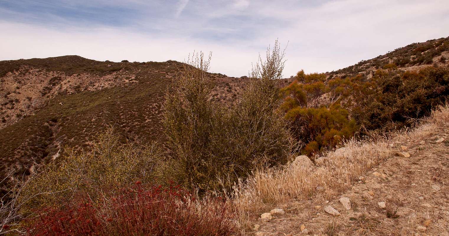
Rouse Hill is a small bump along the long west ridge of Thomas Mountain in the San Bernardino National Forest of Southern California west of Lake Hemet in Riverside County. Normally, people tend to visit the loftier and better-known neighbors to the north around San Jacinto Mountain. There are not too many compelling reasons why one would want to visit Rouse Hill. However, since it is on the Sierra Club’s Hundred Peak Section list, it nevertheless sees a fair amount of visitors. However, if you combine the summit with a descent into the South Fork San Jacinto River, which lies in the 2009 established South Fork San Jacinto Wilderness, you embark on a moderately strenuous outing in a beautiful area.
|
”The United States Congress designated the South Fork San Jacinto Wilderness in 2009 and it now has a total of 20,217 acres. All of this wilderness is located in California and is managed by the Forest Service. The South Fork San Jacinto Wilderness contains lush groves of big-cone Douglas fir, willow, and cottonwood. The rich streamside woodlands are a popular hiking destination, and home to mountain lion, mule deer, mountain quail, southern spotted owl, and bald eagle.”
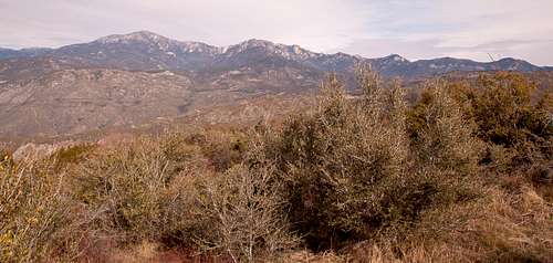
| View west from summit | View north from summit |
|---|---|
 |
 |
There are essentially two main routes to its summit:
Drive up via Rouse Ridge Road: You can access this dirt road (5S15) from Highway 74 east of Mountain Center. You can park your car near the summit and walk up about 100 yards to the summit.
Via South Fork Trail: A much more scenic alternative is the hike from the South Fork trailhead off Highway 74 west of Mountain Center. This trail descends first down to the South Fork San Jacinto River, then ascends steeply the canyon on the south-side and joins the Rouse Ridge Road, which you can take to the summit. This route totals to about 12 miles and 3,200 feet of elevation gain.
Getting There
Drive up via Rouse Hill Road: From Highway 74 about 5 miles east of Mountain Center turn into a dirt road (6S13) just past Lake Hemet. After about 4.5 miles of the dirt road you reach an fork. To the left you will get to Thomas Mountain. For Rouse Hill you turn right. At about 5.3 miles (from the highway) you will reach another fork with a gate and a sign "5S15". You drive through the gate and after another 5.5 miles the road tops a low rise and starts downhill. There is a triangular metal sign on the left at the high point reading "JU30". Go about 100 yards farther and park.
Via South Fork Trail: On Highway 74 park at the South Fork trailhead west of Mountain Center. The trailhead elevation is about 3,860’.
Red Tape
As of the time of this writing (January 2012) there are no permits required for dayhiking Rouse Hill. You need an Advenure Pass to park in the San Bernardino National Forest.
Accomodations
There are plenty of lodging and camping options in and around Idyllwild.