
|
|
Mountain/Rock |
|---|---|
|
|
46.12790°N / 11.39870°E |
|
|
7860 ft / 2396 m |
|
|
Overview
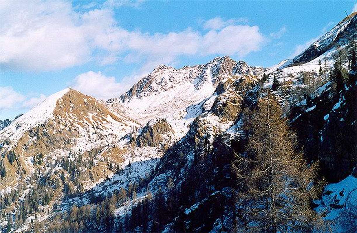
Mount Sette Selle (Seven Saddles) lies in Val dei Mocheni, a wonderful valley where the Fersina stream runs and bordered by a fine summit range belonging to Lagorai group :Monte Rujoch ( 2415 m.), Monte Conca ( 2301m.) Cima d'Ezze ( 2362 m.) , Cima Sette Selle ( 2396 m.) Sasso Rotto (2396 m) Sasso Rosso ( 2310 m)
Rifugio Setteselle 2014m, Cima d'Ezze 2351m, Cima Sette Selle 2396m
 |  |  |  |  |
Getting There
Venezia (Marco Polo Airport) - Milano (Linate Airport) - Bolzano (Bolzano Sud Airport)
 |
When To Climb
All year long (avoid the ridge in winter)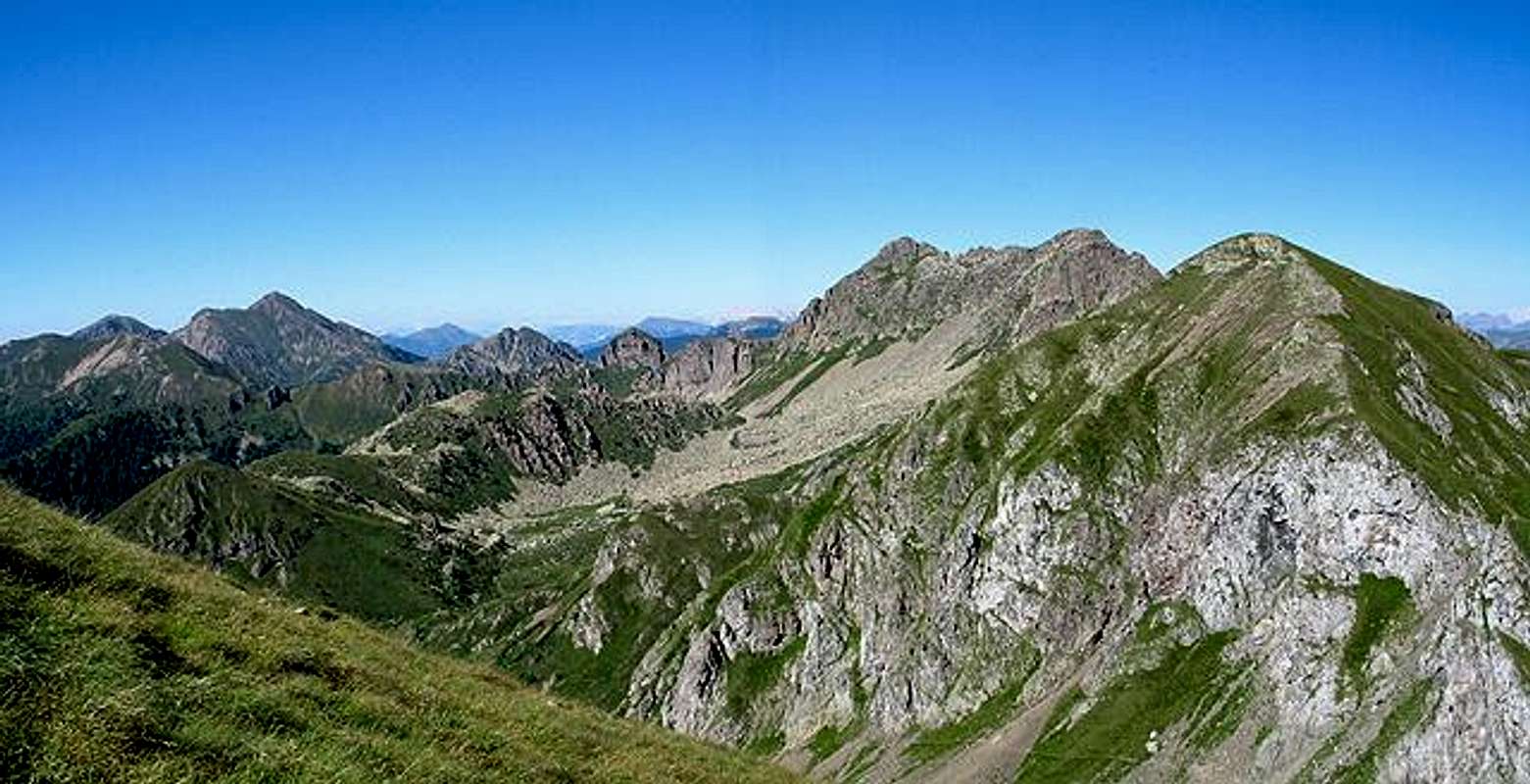
 |  |  |  |  |
Mountain Conditions
meteotrentinoHiking route
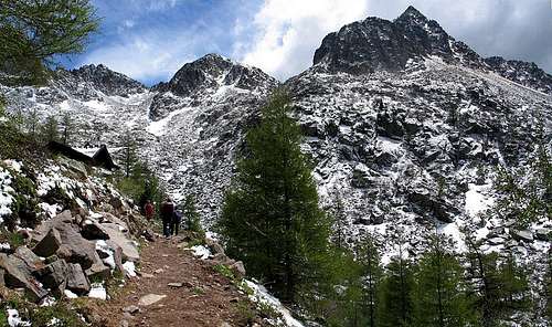
More than an hike this can be seen as a mini-trekking, a ring trip : it lies almost always on the main ridge, requires good fit and training and takes about 6 hours.The starting point is Frotten (1500m - Palù del Fersina)
Here you can park your car and must start walking along the path 343.
Through a conifer hood, boarding on the right side the monte Hoamonder (2185m) in about 1 hour you get the rifugio Sette selle (2014m) under the Monte Slimber, Cima d'Ezze and cima Sette Selle.
The path gets steep along scree and rhododendrons till the cross with the path 315 (leading to Forcella d'Ezze)
Now the path 343 goes along the base of the indented ridge of Cima Sette Selle. Getting that summit requires some scramble and is only for expert hikers. (Interesting ruins of Ist World War)
The path goes on, without losing elevation, near the Sasso Rotto saddle, crosses Forcella Conella (2198m) then, along the ridge, gets Cima delle Lepri (2292m).
With a wonderful view on the lago di Erdemolo you must follow it crossing small saddles and steep channels getting the cima Monte del Lago (2327 m).
Once at Forcella del Lago you get the path 325 that, boarding on its left side the Pizzo Alto (2254 m) brings you down to Erdemolo lake and back to the car parking.
 |  |  |  |  |
Maps and books
Kompass 621: Valsugana - Cima d' Asta - Val dei Mochenikompass 626 : Catena dei Lagorai - Cima d' Asta
Giuseppe Borziello : Escursioni Lagorai - itinerari fuoriporta Cierre Edizioni

