
|
|
Mountain/Rock |
|---|---|
|
|
47.75606°N / 123.09524°W |
|
|
Hiking, Scrambling |
|
|
5345 ft / 1629 m |
|
|
Overview
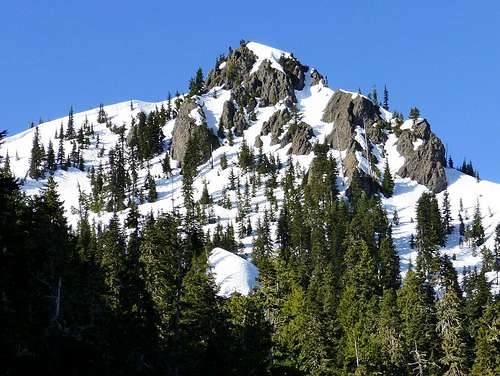 Valhalla Peak in Spring | 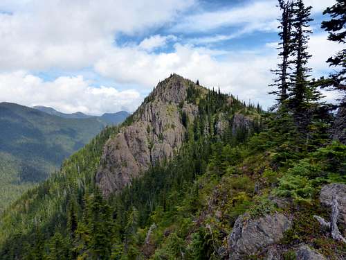 Valhalla Peak from the West (rarely seen view) |
Not to be confused with Colorado's Valhalla Peak, or the one in Alaska, or the one in Wisconsin, or this other one in Washington, this Valhalla Peak sits on the east edge of the Olympic National Forest. Although Valhalla Peak isn't among the tallest of peaks in the Olympic National forest, it does have the distinction of commanding one of the best views of nearby Mount Constance from its summit. The summit can easily be reached in a day from the Tunnel Creek Trailhead. Alternately you could reach the summit via the Dosewallips although you'd be adding an additional 2000 feet of steep elevation gain. Not many select this rout, as most go up via Tunnel Creek.
Getting There
Take highway 101 to Penny Creek Road (about 1.5 miles south of Quilcene). Head west on Penny Creek Road for 1.5 miles and bear left on Big Quilcene River Road (Forest Road 27). Follow this road for 3 miles and turn left on Forest Road 2740. Continue on FR 2740 for 7 miles to the trailhead. The road is very well marked. Just follow the signs that say Tunnel Creek Trailhead.Tunnel Creek Trail
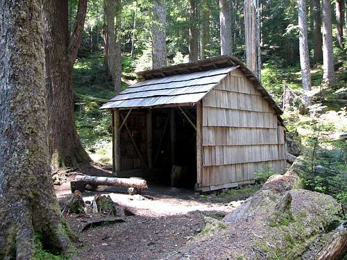
The Tunnel Creek Trail starts at 2402 elevation according to the MyTopo map (here) or maybe it's 2600 feet according to the Forest Service trail info (here). The first 3 miles of the trail is a gradual ascent and parallels Tunnel Creek. The trail is largely under tree cover making it a nice choice for a hike during those hot summer days as the tree cover makes the trail cool. After 2.7 miles and just over 1000 feet elevation gain you will reach the Tunnel Creek Shelter at 3700 feet.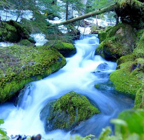 Tunnel Creek | 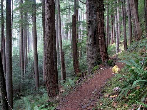 Tunnel Creek Trail |
 Tunnel Creek Shelter | 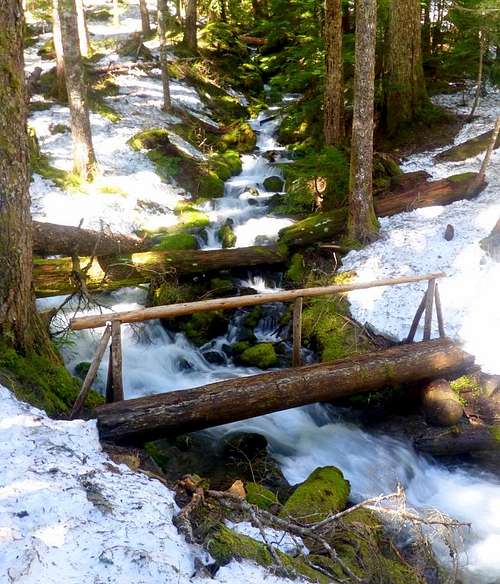 Tunnel Creek Foot Bridge |
Continue on past the shelter about .25 miles and take the bridge across the creek and begin the ascent to Harrison Lake. This is the steepest part of the trail and gains about 1000 feet of elevation in one mile before reaching Harrison Lake at 4750 feet. From the east edge of Harrison lake, Valhalla peak can be seen in the distance.
From here, follow the trail south past the east edge of the lake towards 5050 pass. Once you gain the pass, Mount Constance comes into view. Some people stop here, but Valhalla Peak is only a short distance away. Take the hikers trail west along the ridge of 5050 pass, and avoid the trail that leads south down to the Dosewallips. The trail to the summit is short and to the point and reaches the summit after about 1/2 mile and 300 feet elevation gain from the pass . Views from the summit include Mount Jupiter, The Brothers, Mount Stone, Mount Olympus, April Peak, March Peak, Mount Constance, Buckhorn, Iron Mountain, and Mount Townsend.
Total Distance (one way est.): 4.8 miles
Total Elevation Gain (est.): 2900 feet
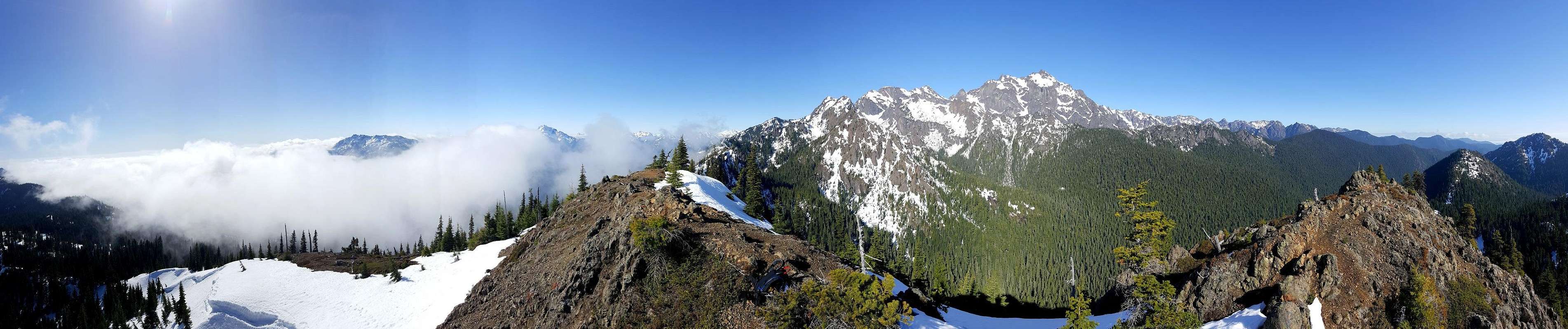
Valhalla Peak Summit Panorama
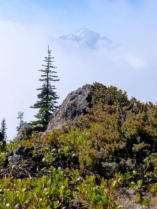 The Brothers from Valhalla Peak | 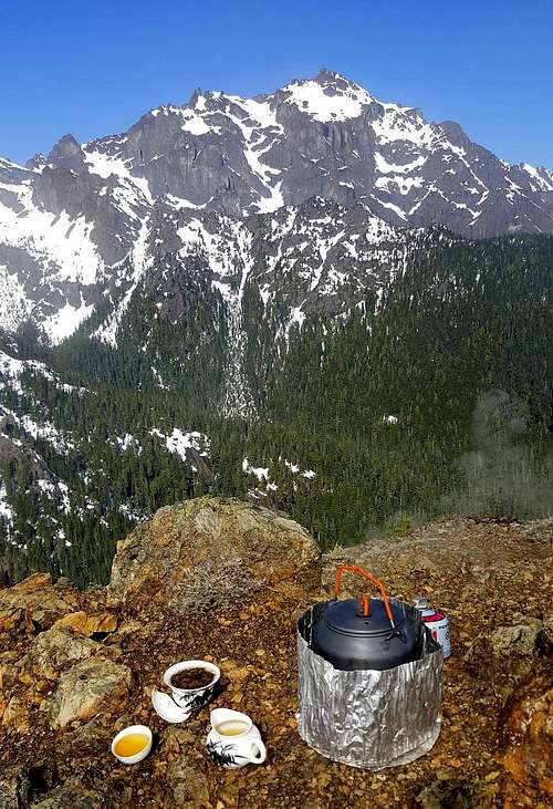 Tea on the Summit (Mount Constance) | 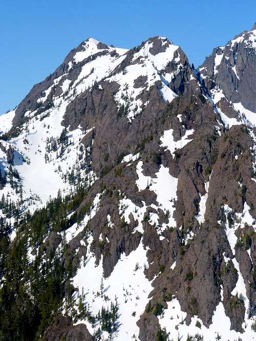 April and March/Lenten from Valhalla |
Camping
Most will probably do this one as a day hike, but camping is a possibility. The Tunnel Creek Shelter at 2.7 miles from the trailhead is an option and there are likely a few spots for camping at Harrison Lake.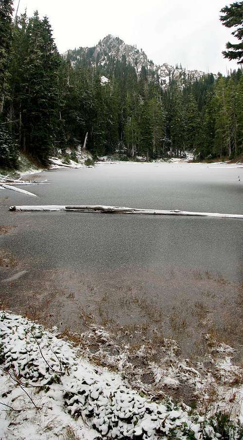 Harrison Lake (fall) | 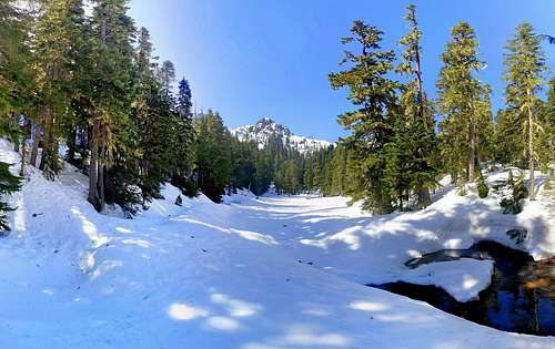 Harrison Lake (spring, still frozen) |
Weather
Click Here for NOAA weather information.External Links
These links provide information about the Tunnel Creek Trail up to Harrison Lake and 5050 pass. Valhalla Peak is a short scramble to the west from there.Forest Service Tunnel Creek Trail #841
Washington Trails Association Tunnel Creek Trail
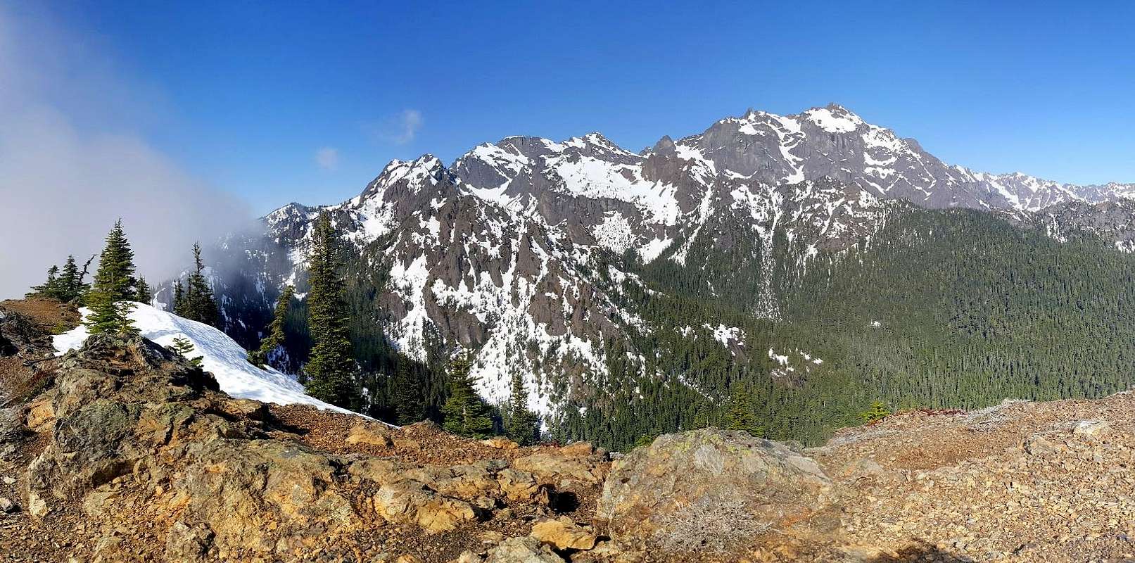
Constance from Valhalla Peak