Salida/St.Elmo/Shavano Peak CO natg Trails Illistrated Map # 130
| Page Type | Gear Review |
|---|---|
| Object Title | Salida/St.Elmo/Shavano Peak CO natg Trails Illistrated Map # 130 |
| Manufacturer | National Geographic Maps |
| Page By | redsplashman23 |
| Page Type | Dec 4, 2012 / Dec 4, 2012 |
| Object ID | 8408 |
| Hits | 2375 |
| Vote |
Product Description
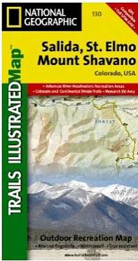
Coverage includes San Isabel and Gunnison national forests; the cities of Garfield, Romley, St Elmo, Poncha Springs, Mt Princeton Hot Springs, and Hancock; the Arkansas River; Pomeroy, Hancock and Waterdog lakes. 14ers: Mt Princeton, Antero and Shavano. Ski Areas: Monarch. Includes UTM grids for use with your GPS unit.Features
Map: 2 pagesPublisher: Natl Geographic Society Maps; 3 edition (March 1, 2008)
Language: English
ISBN-10: 1566953502
ISBN-13: 978-1566953504
Images
 |