
|
|
Area/Range |
|---|---|
|
|
42.08064°N / 122.7184°W |
|
|
Hiking, Mountaineering, Trad Climbing, Sport Climbing, Toprope, Bouldering, Mixed, Scrambling, Skiing |
|
|
Spring, Summer, Fall, Winter |
|
|
Overview
Though not particularly high by most standards, the Siskiyou Mountains of Northern California and Southern Oregon are notable for several reasons. For one, they are one of Oregon's major mountain ranges and include the highest peaks west of the Cascades in that state. They are also the largest subrange of the larger Klamath mountains, a relatively obscure range located in the northwest corner of California that spills over into Oregon as well. They also are home to some of the most botanically diverse coniferous forests on the planet. Here vegetation native to the great basin can be found growing along side ferns and other coastal species! Forming a roughly elbow shape, the range has two main crests of about equal length. One of these crests runs north to south from a point near the confluence of the Trinity and Klamath rivers to Oregon Caves National Monument. From here the crest makes a noticeable turn and roughly follow the Oregon California border until merging with the Cascades.

Geography
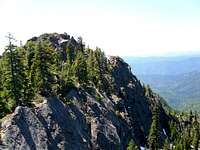
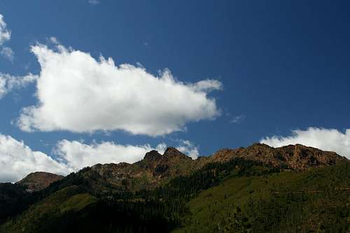
 View from the summit of Wagner Butte
East-West Crest
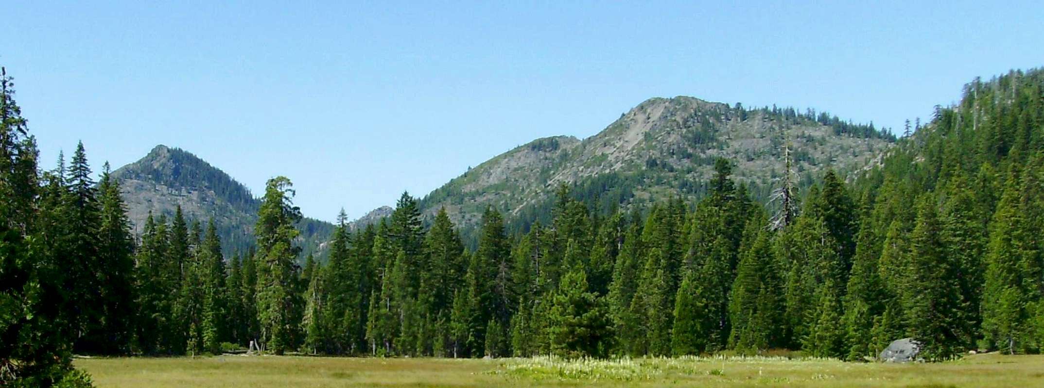
This portion of the crest contains the ranges highest peaks, with 11 summits over 7000 feet. It is in this stretch of the range that the extraordinary biodiversity can be found. The pacific crest trail runs through this stretch of the range, and hiking this section is an excellent way to experience the diversity of the area.
A large portion of the land here is privately owned. In the 1800s half of the un-claimed sections in this region were given to the railroad companies as compensation for providing access. Since then the forest service has tired to buy back as much of the land as possible but large tracts of land are still privately owned. Because of this the national forests maps have a checkerboard appearance to them, as do the forests themselves from the clear cutting that went on half of these sections
The ecology of this region can vary greatly as one moves from west to east. The westernmost portion of this range can receive in excess of 150 inches of precipitation (over 200 inches on the highest peaks). With the buckets of rains that dump over this area the vegetation in places closely resembles the rain forests Washington state. Near the eastern end of the range a dramaticly different picture exists. At the lower elevations as little as 20 inches of rain falls, and the vegetation consists of oak woodlands, that give way to pine forests as you go up in elevation.
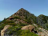
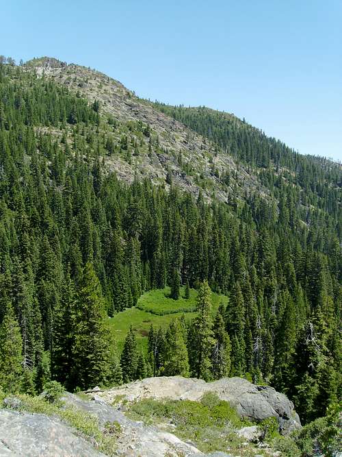 Open meadow near El Capitan
 North-South Crest
Most of the north south trending crest is within the Siskiyou Wilderness, very little private land exists here. Large scale logging never quite made it to this area, however some mining did. This region is home to some the most rugged and remote territory in California.
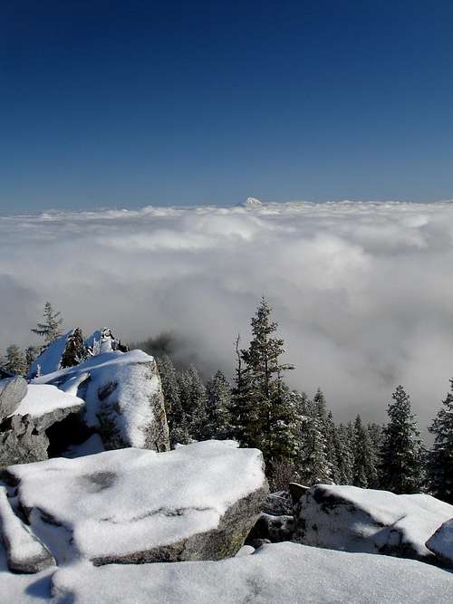
The ruggedness of this crest far surpasses that of the east west crest. Due to its proximity to the ocean this area was hit much harder by the last ice age than the rest of the Siskiyous, making the effects of glaciation a lot more obvious. This region is home to hundreds of glacial tarns ranging in size from a small puddle to deep mountain lakes. The headwaters of several major rivers begin here in classic glacially carved U shaped canyons. The higher ridge tops get up to 200 inches of precipitation a year. This is in sharp contrast to the 50 inches that fall on the lower eastern side.
Siskiyou Mountains at a glance
Listed here are the Siskiyou Peaks that have pages on Summitpost. Click on the captions to navigate to their individual pages.


Wilderness Areas
 Bear Cub Mountain
Siskiyou Wilderness
At 182,802 acres, the Siskiyou Wilderness is one of the most remote mountain wilderness areas in the state of California. A degree of solitude can be found here that few other places can match. I have personally walked for days on end here without encountering a single human being, or for that matter any traces of human presence, the only exception being a fleeting, overgrown, hard to follow trail.
There are no special regulations in the Sisikyou Wilderness, except for the standard wilderness ethics.
 Red Buttes
Red Buttes Wilderness
Straddling the Oregon- California border the Red Buttes Wilderness contains the dual rocky summits of the Red buttes as well as several other rugged peaks. The current designated wilderness is located adjacent to the Kangaroo mountain roadless area, an undesignated wilderness offering plenty of solitude.
 Pilot Rock
Soda Mountain Wilderness
Located near the eastern extents of the Siskiyou range the soda mountain wilderness protects the roadless areas within Cascade Siskiyou National Monument. Its most notable feature is Pilot Rock. The Pacific Crest trail passes through the wilderness.
What's In a Name?
The most popular version of how the Siskiyou Mountain Range got it's name is from the Cree Native American word for Bob-tailed Horse. Back in the early 1800's (1820-1830), A.R. McLeod was in the area with the Hudson Bay Company expedition and brought along with him some of the Cree people to assist in the expedition. The story has it that McLeod's horse, while crossing the Siskiyou pass died, an thus the Siskiyou Mountain Range was named. Or so the story goes, there are multiple variations to the naming of the Siskiyou range, but most of them are similar to that.
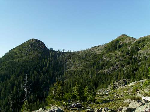
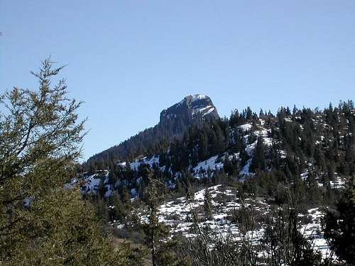
 Ship Mountain From the Crescent City Airport
 Siskiyou Wilderness From Kerby Peak
Interactive Map
View Siskiyou Range Roads in a larger map
Ranger Station Contacts
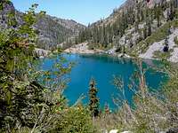
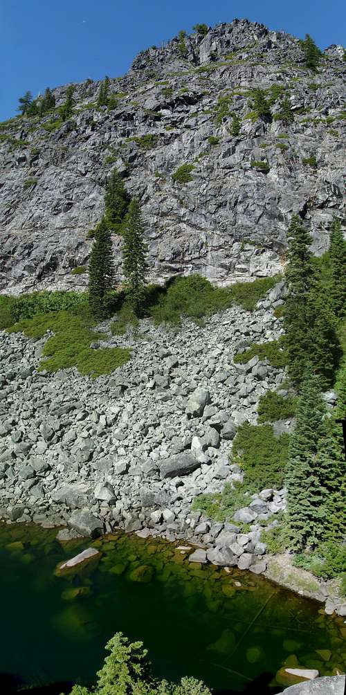 Lower Devil's Punchbowl
Rogue River-Siskiyou National Forest
PO Box 520
333 West 8th Street
Medford, OR 97501
Phone:(541) 858-2200
Applegate Ranger District
6941 Upper Applegate Road
Jacksonville, Oregon 97530-931
Phone:(541) 899-3800
Ashland Ranger District
645 Washington Street
Ashland, Oregon 97520-1402
Phone:(541) 552-2900
Illinois Valley Ranger District
26568 Redwood Hwy
Cave Junction, OR 97523
Phone:(541) 592-4000
Klamath National Forest
1312 Fairlane Road
Yreka, CA 96097-9549
(530) 842-6131
fax 530.841.4571
TTY/TDD 530.841.4573
www.fs.fed.us/r5/klamath/
Rogue River-Siskiyou National Forest
3040 Biddle Road
Medford, OR 97504
(541) 618-2200
TTY 1-866-296-3823
www.fs.fed.us/r6/rogue-siskiyou/
Six Rivers National Forest
1330 Bayshore Way
Eureka, CA95501
707.442.1721
fax 707.442.9242
TTY/TDD 707.442.1721
www.fs.fed.us/r5/sixrivers/