|
|
Area/Range |
|---|---|
|
|
33.16766°N / 111.63564°W |
|
|
Hiking |
|
|
Spring, Fall, Winter |
|
|
2539 ft / 774 m |
|
|
Overview
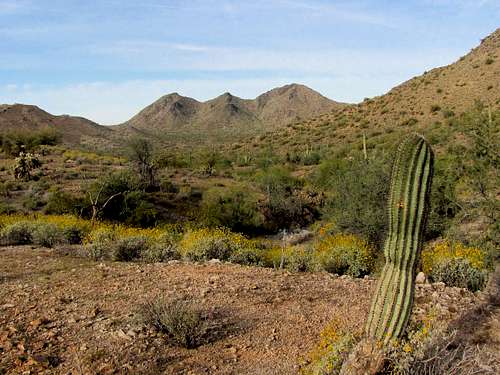
The San Tans are a small mountain range that rises to the southeast of Phoenix, Arizona. San tan Mountain Regional Park preserves a portion of these mountains 10 000 acres large. A network of trails crisscrosses the park providing opportunities for hiking, mountain biking and horseback riding. The park is more likely to appeal to hikers than mountain climbers. Hiking outside the established trails is not allowed. This means that you can not reach the summit of any of the peaks inside the park. If you plan to do so, please contact the park.The highest point in the San Tan Mountains sits outside the park boundaries and is 3104 ft high. A look at the map reveals that the park consists of a 1500 ft high plain with 3 distinct mountain groups rising above the plain: Goldmine Mountain to the north, Malpais Hills to the south and the nameless central highlands. The mountains rise no more than 1000 vertical ft above the plain. The highest point inside the park is Point 2539 ft in the Malpais Hills.
Getting There
Main park entrance and visitor center are located at 6533 W. Phillips Road, Queen Creek, AZ 85242.Red Tape, External Links, Weather
For all rules and regulations see the official park site: http://www.maricopa.gov/parks/santan/.For current weather click here.
For weather averages in nearby Phoenix, Arizona click here.
Pictures
Goldmine MountainNameless Central Mountains
Malpais Hills
Western Peaks Outside the Park Boundary
View of Superstition Mountains


