|
|
Area/Range |
|---|---|
|
|
33.48560°N / 111.5963°W |
|
|
Hiking, Scrambling |
|
|
Spring, Fall, Winter |
|
|
3312 ft / 1009 m |
|
|
Overview
Usery Pass is a hiking area east of Mesa, Arizona. It is dominated by Pass Mountain 3,312’, an impressive two mile-long ridge that is a popular destination for residents across the Phoenix area. Pass Mountain is the westernmost part of the Goldfield Mountains. To the west are the Usery Mountains, which is on the other side of Usery Pass Road.
The Usery Mountains are a much smaller range than the much more extensive Goldfield Mountains. This page is dedicated only to the primary summits that are reached around Usery Pass, which covers all of the Usery Mountains, but does not cover the Goldfield Mountains as a whole, just those immediately accessible from the primary trailheads described below.
The most straight-forward hikes in the Usery Pass area are around Pass Mountain and up to Wind Cave, to the summit of EJ Peak (Lone Mountain), and to the summit of the Usery Benchmark. With the exception of the Wind Cave Trail, other trails are not very well marked. The area intentionally kept pristine, unlike many of the more popular urban hiking areas.
Hiking in the Usery Pass area is recommended between October and March. If hiking any other time, it is recommended that you stay on the trail and hike in the morning. Rattlesnakes and scorpions can be present during warmer weather months; and the blistering heat during the summer makes the experience far less enjoyable.
Primary Access Points
The most popular trailhead is at Wind Cave, accessed from the E. Usery Park Road. It is $6 per vehicle to enter. There are numerous trails in the area, but the most popular is the one that goes up Pass Mountain to Wind Cave. E. Usery Park Road is off of Ellsworth Road (aka Usery Pass Road), 1 ½ miles north of McDowell Road.
Another mile further north, there is a dirt parking area on the side of Usery Pass Road. There is space for about 10-15 cars. It is often used by road cyclists or mountain bikers. It offers access to the Pass Mountain loop, and can also be used to access Phoenix Mountain across the road.
The Bulldog Trailhead is 1 ¾ miles north of Usery Park Road. It is dedicated to Jeeps and ATVs via a dirt road that heads into the Goldfield Mountains. It also serves as the best trailhead for hiking EJ Peak (aka Lone Mountain) and Usery Benchmark; both which have trails.
North Meridian Road is to the southeast of Pass Mountain. It provides access to both the Usery Pass area, and the rugged Goldfield Mountains to the east. To get there, take the 202 East/South to Brown Road. Take Brown Road east for 4 miles to North Meridian Road, which ends at the trailhead after two miles. From here, you can access two mountain passes, including the saddle between Pass Mountain and Peak 3,004, and the Bulldog Saddle to the east of Peak 3,004.
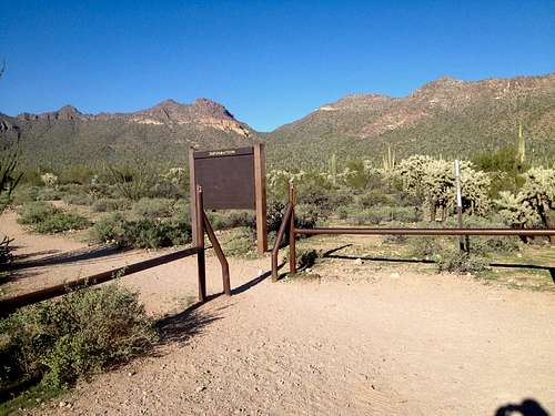
Hawes Road is about a mile west of Ellsworth Rd. It connects into neighborhoods, and doesn’t have any trailheads. For those living in the communities; many of which are gated; there are trails that they could use to access the mountains. The only location that everyday people can access is the trail to Usery Mountain South. The trail itself is 1.2 miles north of McDowell Road, and a tenth of a mile north of Scarlett Road. Parking is recommended along Thomas Road at the corner of Hawes and Thomas, and then walking a quarter mile to the trail, which is behind a gate that has no sign and no house behind it. This is only recommended for Usery Mountain South, since there isn’t any other legal way to hike to the summit.
Primary Mountains
The primary mountains accessed from the Usery Pass Road, and from the two other areas mentioned, are Pass Mountain, EJ Peak (Lone Mountain) and the Usery Mountains to the west.
Pass Mountain is the highest mountain in the immediate area. There are trails that loop around it, and there is a trail to the top of the ridge. Pass Mountain is accessed via the Wind Cave Trail. Past the Wind Cave, much fewer people continue on to the actual summit. This is because the trail gets more rustic and the route to Pass Mountain itself requires some scrambling. Pass Mountain is quite a beautiful mountain, and the summit isn’t too difficult to access. It is recommended you don't try to bring dogs to the summit, due to the climbing.
EJ Peak (aka Lone Mountain) is approached from the EJ Peak Trailhead, also called the Bulldog Trailhead. The route starts 250 yards past the trailhead. It is unmarked, but it is easy to see on satellite maps, which are recommended to use when hiking. Once the trail is found, it is generally simple to follow.
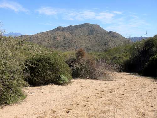
Usery Benchmark has a trail to the summit. It starts across the road from the Bulldog Trailhead. The trail is unmarked. However, it isn’t too hard to follow. More details are provided on the Usery Benchmark page.
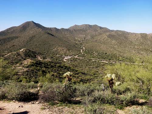
Phoenix Mountain (aka Peak 2933) has the words P-H-O-E-N-I-X spelled in rocks on its south face. However, it is approached from the east side. There is no trail to the summit, but it is easy bushwhacking. More details are provided on the Phoenix Mountain page.
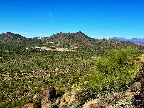
Usery Mountain South is accessed from outside of the Usery Pass area due to private land blocking access from the east side. However, there is a trail to the summit accessed from off of Hawes Road to the west.
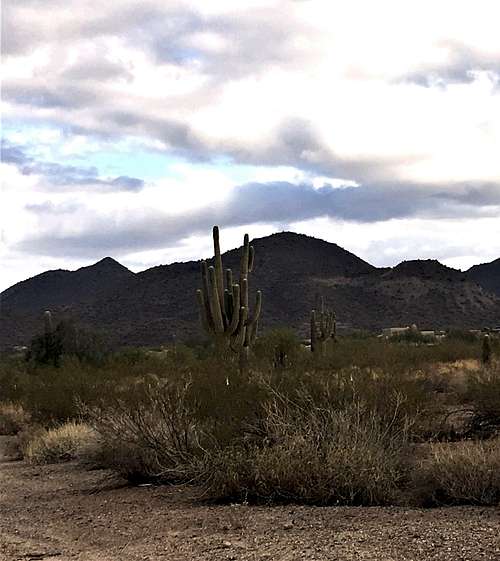
Other hikes include taking the Meridian Trailhead to the saddle on the Pass Mountain Trail (east loop) or to Bulldog Pass. Both are access points to Peak 3,004, which requires scrambling to the summit. See the trip report in the External Links section.
Red Tape
The Usery Park Road area where the Wind Cave Trail is located is a well-built trailhead area. It cost $6 per vehicle to enter. Otherwise, parking and hiking are wide open without fees or restrictions.
External Links
Peak 3,004 Trip Report by Mark Formo on Lists of John

