
-
 1296 Hits
-
 79.04% Score
-
 10 Votes
|
|
Mountain/Rock |
|---|---|
|
|
47.03744°N / 12.93071°E |
|
|
Hiking, Skiing |
|
|
Spring, Summer, Fall, Winter |
|
|
10138 ft / 3090 m |
|
|
Topographic isolation: 1 km
Nearest higher peak: Roter Mann (3095 m)
Prominence: 65 m
Overview
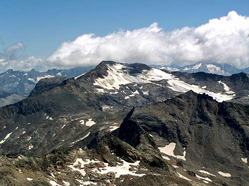
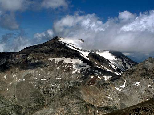
The Goldberg Group is one of the areas of the Hohe Tauern Group of the Alps. There are 17 peaks higher than 3000 meter in the Goldberg Group. Sandkopf - with its 3090 m altitude - is the 8th highest summit of the mountain group.
The drainage divine of Salzach and Drau rivers forms the main ridge of the Hohe Tauern Group. Sandkopf emerges south to this main ridge - on a side ride whose node to the main ridge is formed by Goldbergspitze (3073 m), while the main peaks of the side-ridge are Roter Mann (3095 m), Sandkopf (3090 m), Trögereck (2731 m) and Stanziwurten (2707 m). This side-ridge - including Sandkopf - belong to the drainage-system of the river Drau.
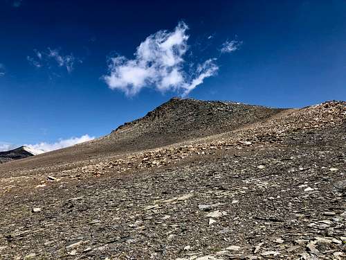
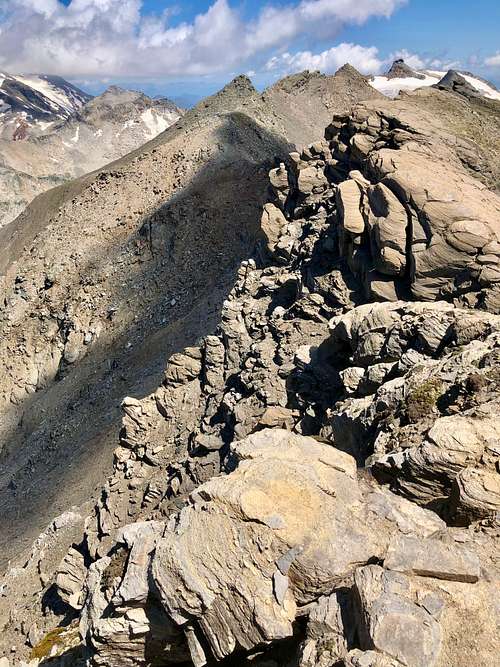
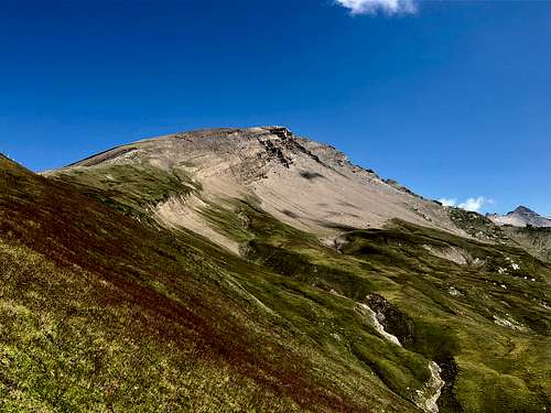
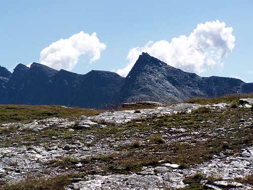
Sandkopf is not a hostile mountain. Its southwestern slopes are really friendly: mild, easy terrain, even if there is minimal vegetation, and its rather like a stone desert. The opposite side of the mountain is much different: the ridge connecting it with the neighbouring peak of Roter Mann is exposed and rugged.
Nationalpark Hohe Tauern
The border of the National Park of Hohe Tauern just crosses the peak of Sandkopf. It means that half of its area is within the boundaries of the National Park. The northwestern half.
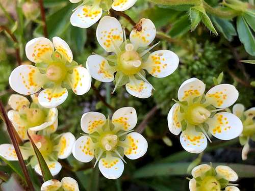
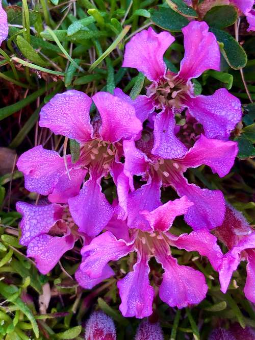
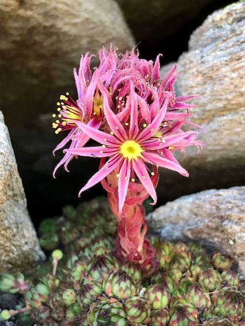
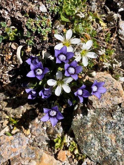
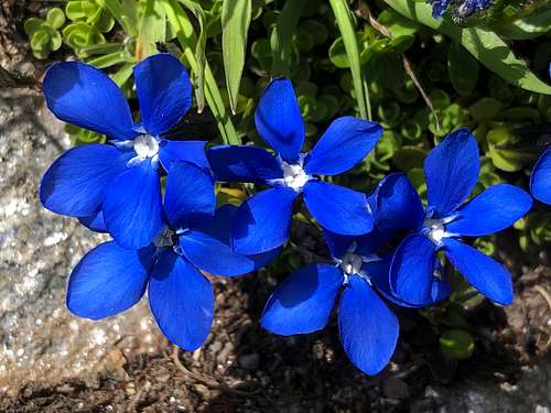
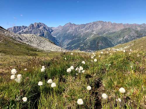
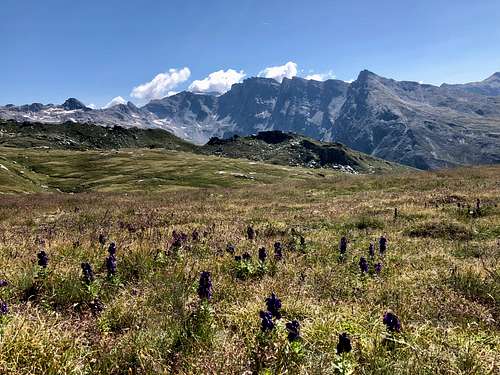
The area really deserves protection. It’s beautiful. Among others, I’ve seen the following species of flora there in July. Each of them is a really colourful masterpiece:
- Monkshood (Aconitum napellus)
- Fringed sandwort (Arenaria ciliata)
- Alpine thrift (Armeria alpina)
- Bearded bellflower (Campanula barbata)
- Campanula scheuchzeri
- Comastoma nanum
- Crepis aurea
- Carthusain pink (Dianthus carthusianorum)
- Peacock-eye pink (Dianthus pavonius)
- White cottongrass (Eriophorum scheuchzeri)
- Snow gentian (Gentiana nivalis)
- Spring gentian (Gentiana verna)
- Alpine avens (Geum montanum)
- Dark vanilla orchid (Gymnadenia rhellicani)
- Rolling hen-and-chicks (Jovibarba globifera)
- Round-headed rampion (Phyteuma orbiculare)
- Dwarf soapwort (Saponaria pumila)
- Mossy saxifrage (Saxifraga bryoides)
- Tufted alpine saxifrage (Saxifraga cespitosa)
- Encrusted saxifrage (Saxifraga crustata)
- Purple saxifrage (Saxifraga oppositifolia)
- Mountain houseleek (Semprevivum montanum).
I’ve seen two butterfly species that I could identify: glandon blue (Agriades glandon) and small tortoiseshell (Aglais urticae).
How to Get There
If you want to get to the trailhead of the normal route, then first you must get to the valley of Mölltal. Mölltal can be reachedfrom north: via the toll road "Grossglockner Alpenstrasse”; it’s very expensive and periodically closed
- from south: from Lienz through Winklern
- from east: from Spittal an der Drau through Winklern.
The main rod of Mölltal is road #B107. There is a side road of it at the village Döllach. The lower section of this narrow but paved side road is called Apriacher Landstrasse. Its higher section is called Apriacher Hohenstrasse. When you reach the hamlet Mitten, find the still paved side road to easter direction, up to the hillside. This road is paved up to altitude of 1450 meter. From there the road is not paved. You must drive further 6 km up to the parking place at the trailhead, at altitude of 1985 m. In summertime this last 6 km is manageable even by a normal passenger car. My car is optimized for highway driving, and she didn’t really like this road. But for most of the cars it can’t cause any difficulty. The road is toll-free.
Normal Route
There is a single evident approach to the peak. Let’s call it “normal route”.
Only the first 25% section of the route is a marked trail. Later it’s an unmarked trail. Or there is no trail at all - you must find your way yourself.
What makes this route easy:
- The elevation gain to perform is not much more than 1100 meter; this number can be considered as a moderate value for a 3000er in the Alps.
- The length of the tour is only 11.5 km
- No technical difficulties
- No exposure
What may cause difficulties:
- Only 25% of the route is marked
- One third of the route follows cow tracks -> not the easiest terrain to walk
- 40% of the route is open country hillside that is not too characteristic -> it’s not a problem in good weather to find your way, but it must be really challenging to find the way in bad visibility conditions, like in fog. Some small cairns can give help, but this help might not be sufficient when you see nothing.
- The frequency of visits to the peak is one couple per week in summertime, according to the log book on the peak. In case of accident you can’t expect help
Trailhead: parking place on the hillside of Mittenberg, at altitude of 1985 m.
First 1.3 km on a pleasant marked trail. This trail leads to the peak of Stanziwurten. As we don’t go there now, after 1.3 km let’s continue the cow-tracks up to the saddle (2485 m) between Stanziwurten and Trögereck. Before reaching the saddle, you must cross a fence built for cattle.
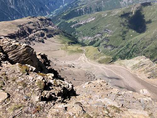
From the saddle you must continue to follow the cow tracks to northern direction. There are alternative parallel routes here. All are OK. Esat to the peak of Trögereck - at the head of the valley - there are no cow tracks any more. Find your way on the steep grassy hillside up to the saddle connecting Trögereck with Sandkopf.
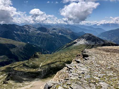
The best part of the route starts from here. Mild rocky hillside up to the peak of Sandkopf. No challenge in good weather: just enjoy your hiking!
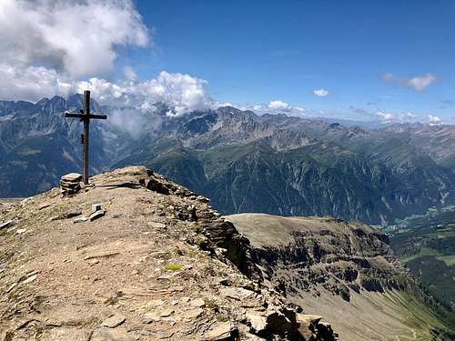
On the Peak
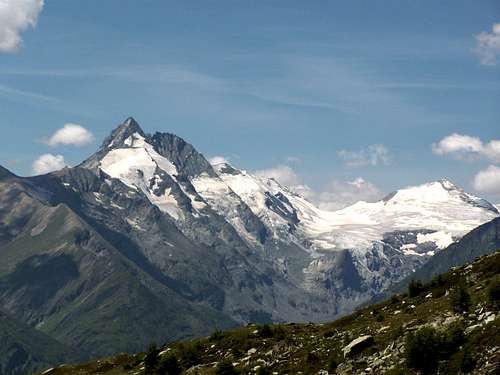
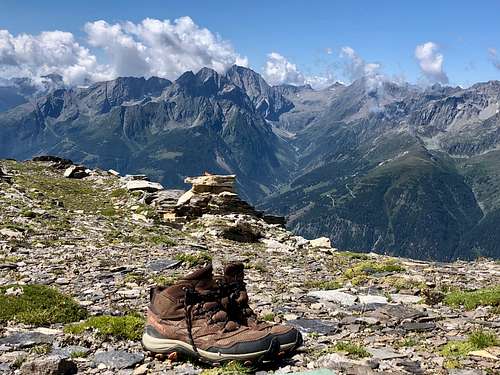
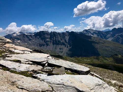
There is a summit cross, a log-book and a piece of beam serving as a bench on the peak. And the excellent panoramic view. What can you see from there? A parade of high peaks of the Hohe Tauern!
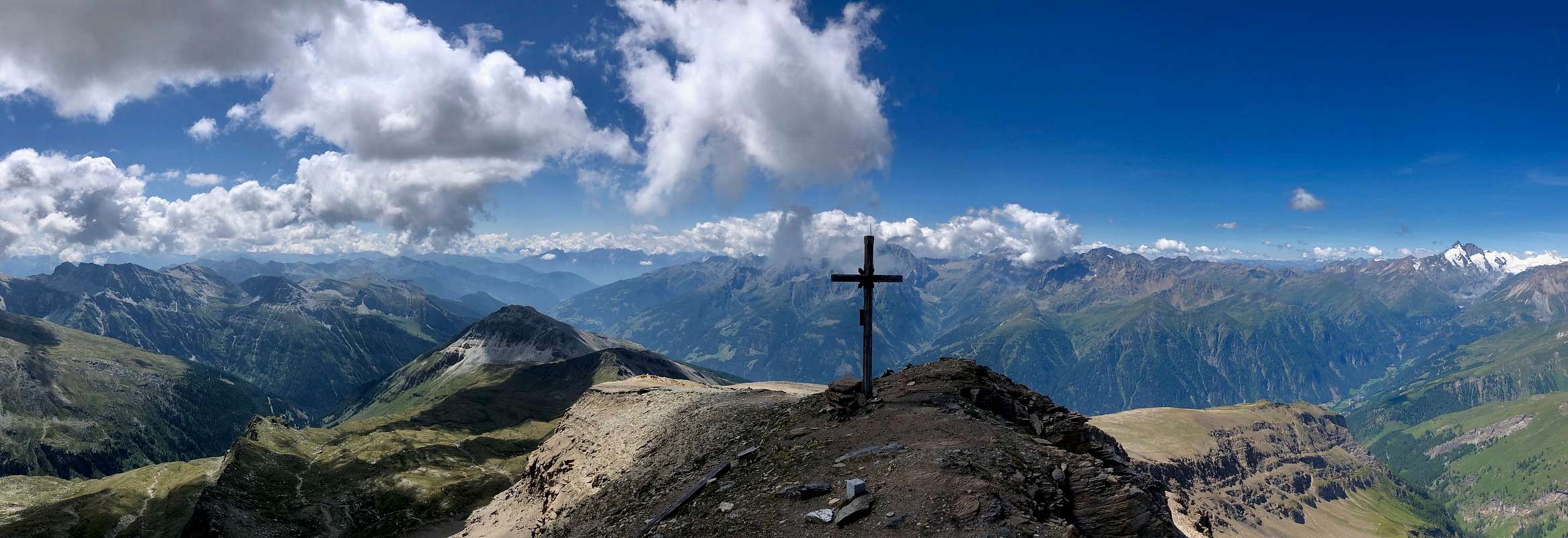
- N: Hocharn (3254 m)
- NE: Roter Mann (3095 m) and Hoher Sonnblick (3106 m)
- E: Shareck (3123 m) and Hochalmspitze (3360 m)
- SE: Sandfeldkopf (2920 m)
- S: Stanziwurten (2707 m)
- SW: Petzeck (3283 m)
- W: Grossglockner (3798 m)
- NW: Grosses Wiesbachhorn (3564 m).
Camping
There are no mountain huts on the mountain or along the normal route - and in reality no need for that because the hike can be done in a day.
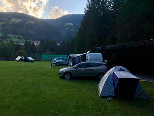
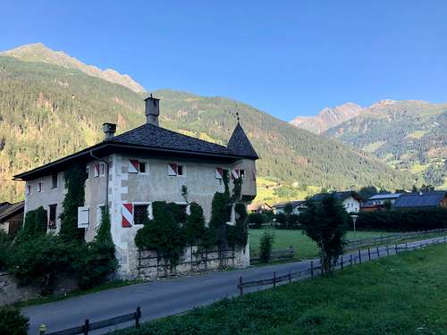
There are quite a few campings in Mölltal, in the valley at the foot of the mountain. The nearest one to the trainlead is Camping Gasthof Zirknitzer at elevation 1030 m above see level.
while the cheapest in the vicinity is Camping Grubenbauer at elevation of 885 m above see level. It’s surprisingly cheap. I can recommend it.