
|
|
Area/Range |
|---|---|
|
|
37.61641°N / 106.43005°W |
|
|
Hiking, Scrambling |
|
|
13300 ft / 4054 m |
|
|
Introduction
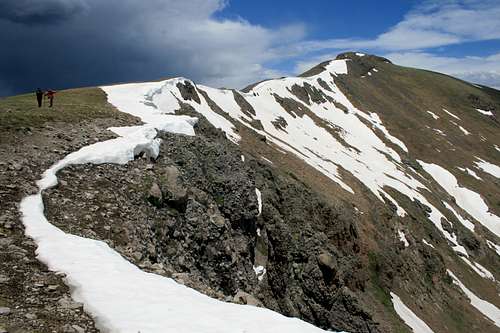
A look at four of the seven highest peaks in the range, on the Continental Divide
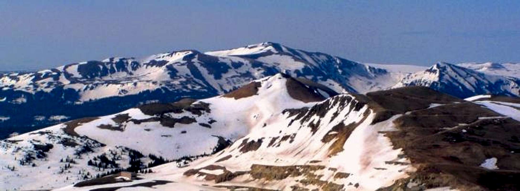
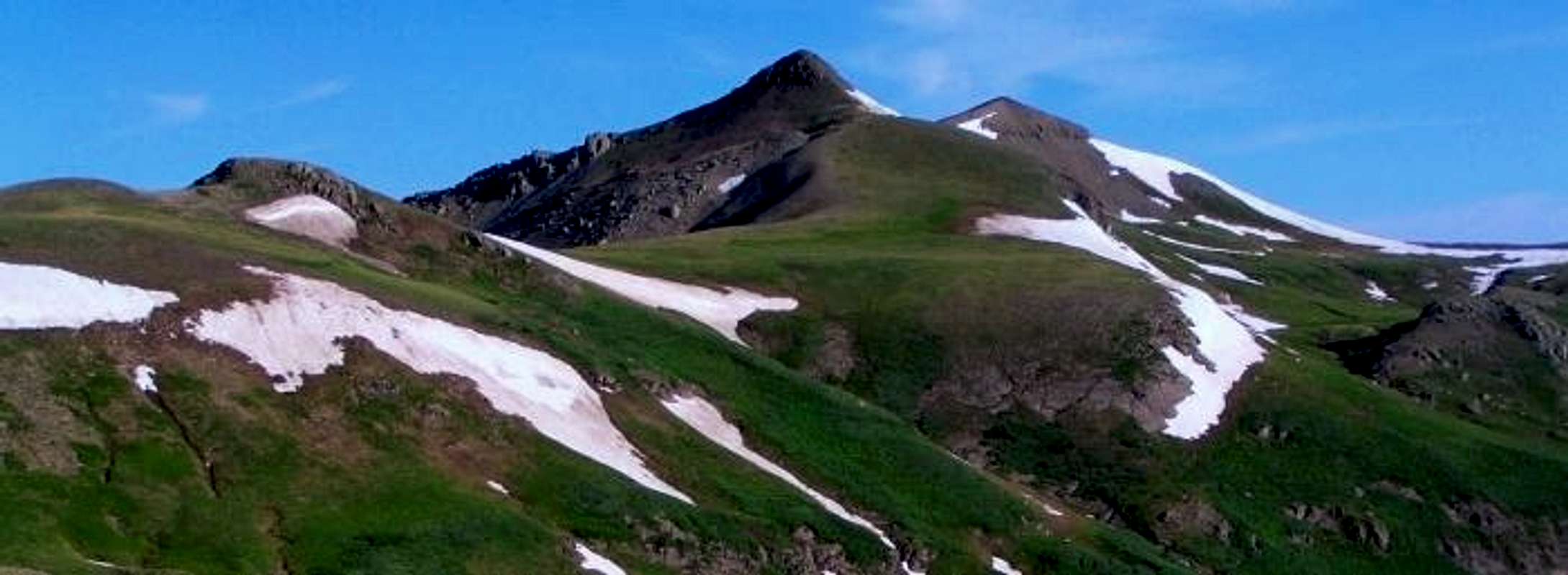
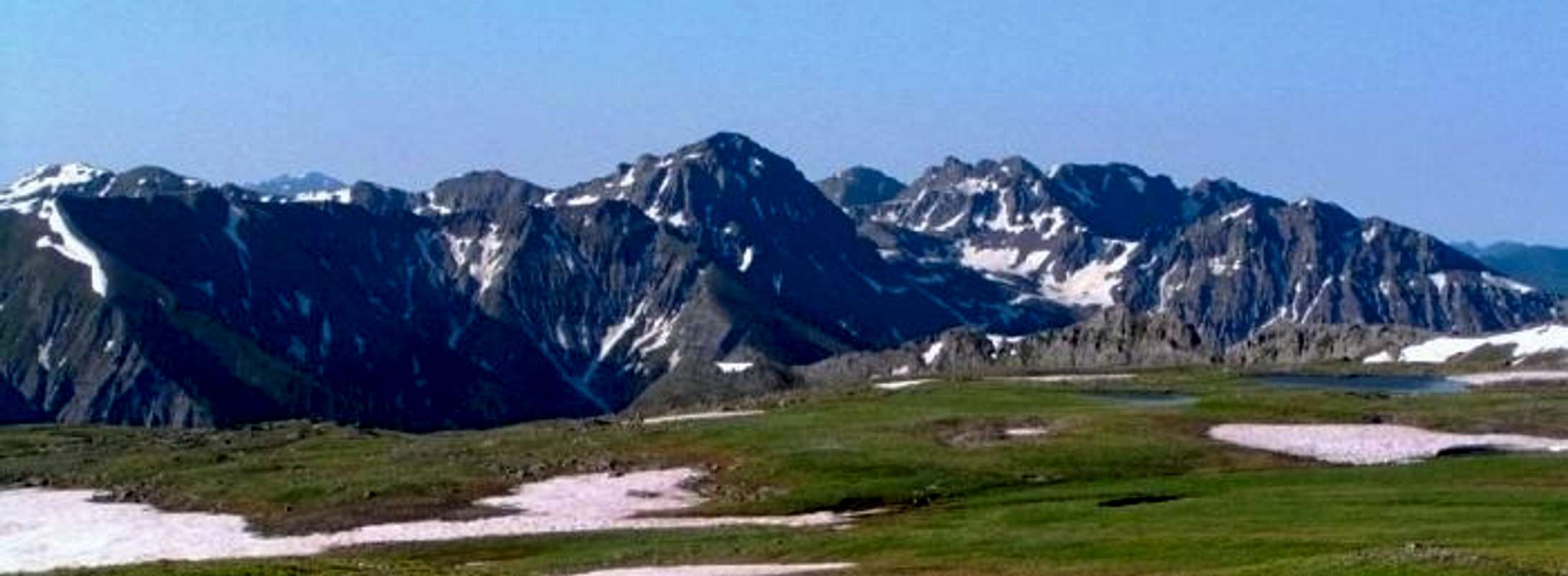
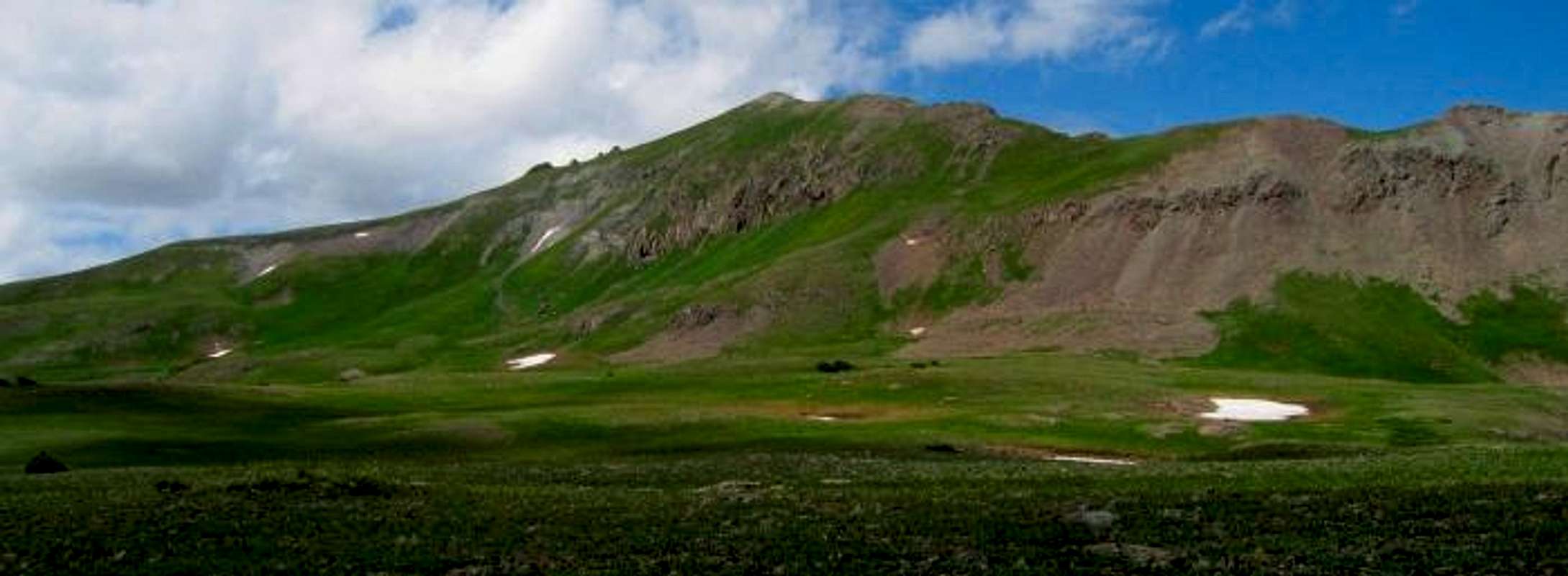
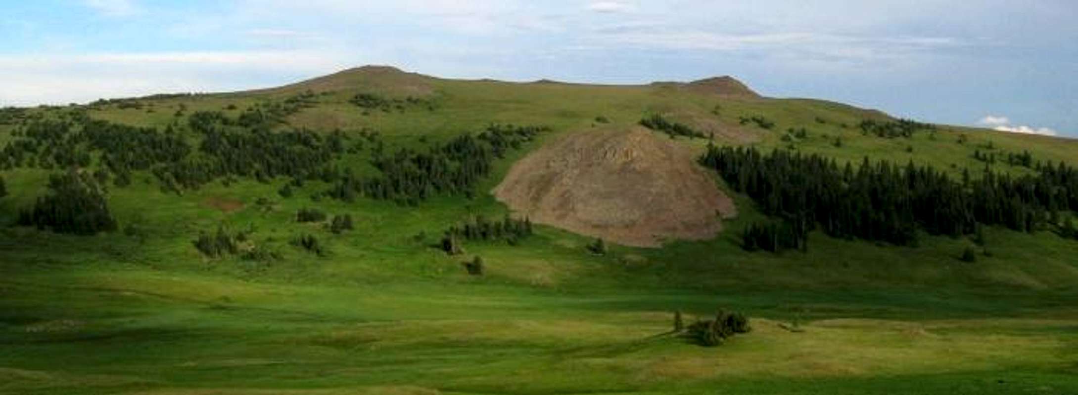
| Host to three counties' highpoints (Archuleta, Conejos, and Rio Grande), the "South San Juan Range" could be loosely defined as the portion of the San Juan Range south of Wolf Creek Pass, bounded by highways 160 and 285 down to New Mexico. The range sees relatively few visitors, and is somewhat remote, although access is available via an abundant array of forest roads. Aside from county highpoint enthusiasts and not-too-common 13er peakbaggers, the area does not see too much overall hiking activity. Indeed, the lack of 14ers or high 13ers often translates to solitude, and there is an unending supply of pristine wilderness to be explored. There are 55 ranked peaks higher than 12,000', and 16 peaks with more than 1,000' of prominence. Many who visit for the three county highpoints (which can be accomplished in a single day) may choose not to return, but there are those who will not be able to resist the lure of the area. Some of the most lush tundra in the state with huge expanses above treeline and incredible vistas of the Continental Divide make this a special place. There are many rugged and obscure high peaks at the southern and eastern end of the range, with at least one peak known to be technical (Squaretop Mountain - 11,766'). Three population centers provide entry to the South San Juans - Del Norte, South Fork, and Pagosa Springs, all reached via/located on highway 160. A southern portion of the range lies outside public lands, some encompassed by Banded Peak Ranch. From 12,065' south to Chama Peak is within the historic Tierra Amarilla Land Grant. Be cognizant of the boundaries are when exploring this area. |
 Tobacco Lake near Conejos Peak - photo by Alan Ellis |
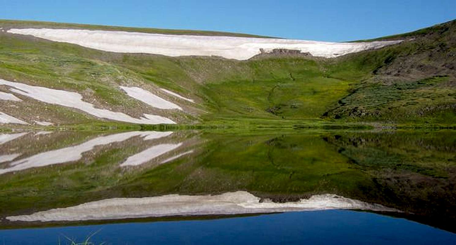
The Board of Geographic Names does not recognize the area as a separate range, although the area is largely designated a wilderness area bearing the name "South San Juan Wilderness", and is among the most rugged wildeness areas left in the state. The "range" could just be considered a southern cell of the San Juan Range. Railroad Pass is the true lowpoint between the core of the San Juan Range and the South San Juan Range, as opposed to a seemingly more obvious candidate, Wolf Creek Pass. Railroad Pass is the key saddle for Summit Peak, the highest peak in the South San Juans. The Piñon Hills to the east of the contiguous peaks of the range have been intentionally omitted since hey can be considered a separate subrange. The Rio Grande River (and its South Fork) bound the range on the north and east side, and highway 160 parallels them. On the west side of the range begin the headwaters of the San Juan River, flowing to New Mexico and on to Utah. Water seems abundant nearby from just about anywhere within the range, and it is host to a myriad of waterfalls, one of which is the destination of a short hike off highway 160 below Wolf Creek Pass on the Pagosa Srings side. |
 Spectacular Treasure Creek waterfall - photo by shknbke |
 Beautiful Columbines seen on approach to Conejos Peak |
Interesting Recent History/Facts
The last grizzly bear sighting in Colorado was within the South San Juan wilderness in 1979 (killed during a dramatic attack involving self-defense with arrow in hand), and some speculate that grizzlies may still roam the area.
Articles:
Ghost Grizzlies or if unavailable see this text version
Reintroduction of Grizzlies to CO?
Extensive mining at Summitville has had environmental consequences and was the focus of much research and national debate in the early 1990's highlighting revision of mining activities on public lands. Cyanide was used to extract silver and gold from mined rock and began to leak in 1986. Additionally, open pit mining activity exposed sulphide-rich rock that had oxidized and entered water drainages, increasing pH levels to the point where fish in the Alamosa River, ponds, and Terrace Reservoir disappeared. Efforts have been made to contain the drainage and Summitville was taken over authority of the EPA as a superfund site in 1994 and total cost has been estimated over $100 million.
Articles:
USGS Publication - THE SUMMITVILLE MINE AND ITS DOWNSTREAM EFFECTS
Environmental Protection Agency Publication
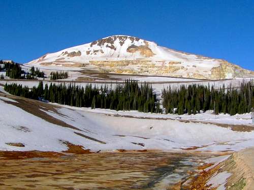
Acid-rich drainage seen below South Mountain at Summitville
Interactive Google Map of South San Juan Range Peaks
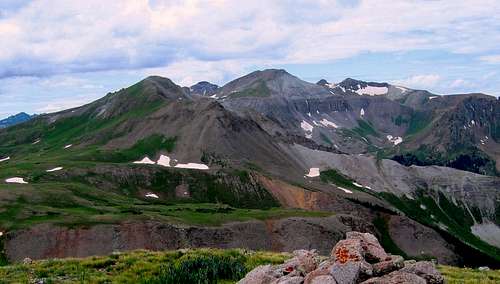
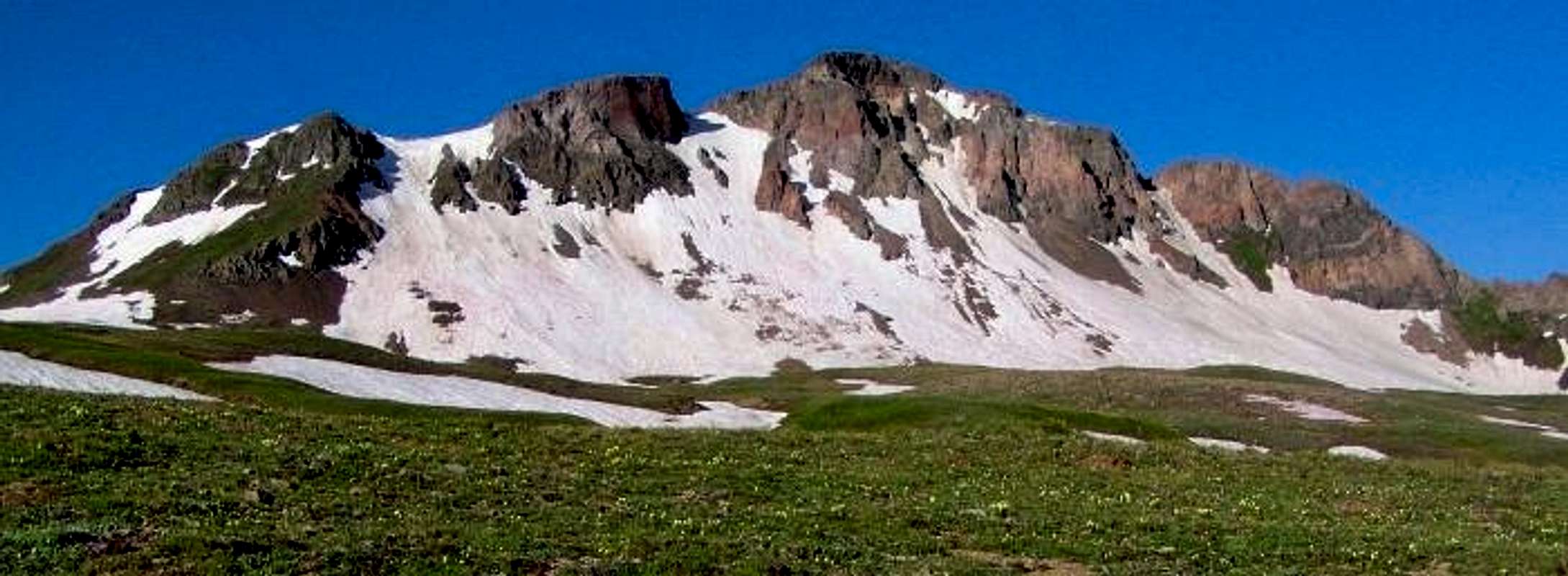
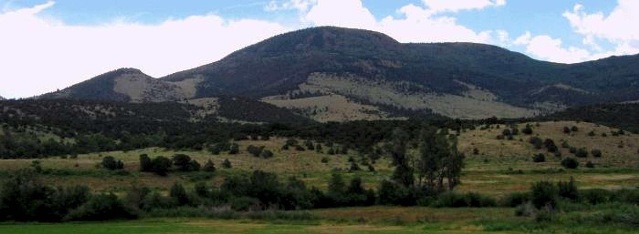
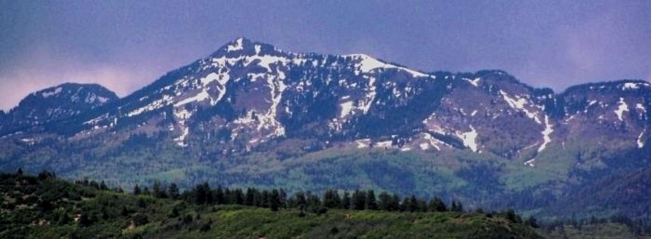
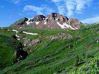
Scenery and Setting
Summit Peak - The Monarch
Spring snow clings to Cropsy Mountain and Conejos Peak
"The Unicorn" beckons many a climber destined for Summit Peak
Rugged Peaks on the Continental Divide south of Summit Peak
Long Trek Mountain isn't necessarily a long trek, but delivers the views

Lookout Mountain A sits well guarded by steep loose talus
Bonito Mountain is a tantalizingly close meadow stroll from FR 14
Horseshoe Mountain is among the first to welcome travelers from Del Norte
Chama Peak seen from New Mexico during a thunderstorm
Peaks > 12,000'
| Rank | Name | Elevation | Quad | Rise | Latitude | Longitude | Class |
| 392 | Summit Peak | 13,300' | Summit Peak | 2,760' | 37.3506 | -106.6968 | 2 |
| 485 | Bennett Peak | 13,203' | Jasper | 1,743' | 37.4833 | -106.4340 | 2 |
| 505 | Conejos Peak | 13,172' | Platoro | 1,912' | 37.2887 | -106.5709 | 2 |
| 524 | Montezuma Peak | 13,150' | Summit Peak | 690' | 37.3731 | -106.6914 | 2 |
| 624 | "The Unicorn" | 13,020' | Summit Peak | 440' | 37.3666 | -106.6993 | 2 |
| 727 | 12887 | 12,887' | Summit Peak | 1,578' | 37.2867 | -106.6845 | |
| 741 | Long Trek Mountain | 12,866' | Elwood Pass | 566' | 37.3859 | -106.6803 | 2 |
| 759 | Pintada Mountain | 12,840' | Jasper | 620' | 37.4967 | -106.4023 | |
| 772 | Snow Benchmark | 12,815' | Summit Peak | 715' | 37.2652 | -106.6892 | |
| 801 | Banded Peak | 12,778' | Chama Peak | 1,313' | 37.1045 | -106.6271 | |
| 816 | North Mountain A | 12,754' | Summitville | 1,214' | 37.4507 | -106.6045 | 2 |
| S | 12741 | 12,741' | Summit Peak | 281' | 37.2752 | -106.6939 | |
| 839 | 12727 | 12,727' | Summit Peak | 547' | 37.2590 | -106.6860 | |
| 866 | 12690 | 12,690' | Summit Peak | 590' | 37.3419 | -106.6544 | |
| 889 | Velvet Benchmark | 12,657' | Summit Peak | 797' | 37.3076 | -106.6541 | |
| 905 | 12636 | 12,636' | Summit Peak | 376' | 37.3314 | -106.7065 | |
| 921 | Grayback Mountain | 12,616' | Summitville | 476' | 37.4616 | -106.5573 | 2 |
| 930 | Windy Mountain | 12,608' | Jasper | 543' | 37.4661 | -106.4020 | |
| 952 | Cropsy Mountain | 12,578' | Summitville | 1,078' | 37.4088 | -106.5964 | |
| 955 | 12569 | 12,569' | Summit Peak | 309' | 37.3285 | -106.7009 | |
| 956 | 12568 | 12,568' | Elwood Pass | 388' | 37.4468 | -106.6256 | |
| 962 | 12555 | 12,555' | Platoro | 535' | 37.2770 | -106.5231 | |
| S | South Mountain A | 12,555' | Summitville | 295' | 37.4192 | -106.6012 | |
| 964 | 12550 A | 12,550' | Elwood Pass | 530' | 37.4038 | -106.6746 | 2 |
| 986 | 12507 | 12,507' | Summit Peak | 327' | 37.2826 | -106.6984 | |
| 989 | 12505 C | 12,505' | Platoro | 365' | 37.2902 | -106.5908 | |
| 994 | Blackhead Peak | 12,500' | Blackhead Peak | 800' | 37.2889 | -106.7742 | |
| S | 12500 E | 12,500' | Summit Peak | 280' | 37.2541 | -106.6784 | |
| 999 | 12498 | 12,498' | Elwood Pass | 366' | 37.4008 | -106.6635 | 2+ |
| 1003 | 12494 B | 12,494' | Elwood Pass | 434' | 37.4637 | -106.6308 | |
| 1007 | 12492 | 12,492' | Summit Peak | 592' | 37.3001 | -106.6768 | |
| 1008 | Sheep Mountain H | 12,492' | Jasper | 392' | 37.4627 | -106.4381 | |
| 1035 | Lookout Mountain A | 12,448' | Summitville | 628' | 37.3895 | -106.5928 | |
| 1059 | Silver Mountain E | 12,420' | Jasper | 452' | 37.4311 | -106.4214 | |
| 1065 | Sand Mountain A | 12,410' | Blackhead Peak | 590' | 37.3184 | -106.7755 | |
| 1066 | 12410 | 12,410' | Summit Peak | 510' | 37.3360 | -106.7320 | |
| 1072 | Del Norte Peak | 12,400' | Del Norte Peak | 1,020' | 37.5897 | -106.5634 | 2 |
| 1078 | Quartz Ridge North | 12,390' | Blackhead Peak | 330' | 37.3410 | -106.7720 | |
| 1085 | 12381 A | 12,381' | Summitville | 441' | 37.4733 | -106.6188 | |
| 1090 | 12380 B | 12,380' | Victoria Lake | 360' | 37.1722 | -106.5938 | |
| 1096 | 12373 | 12,373' | Summit Peak | 353' | 37.3208 | -106.6659 | |
| 1111 | Gramps Peak | 12,340' | Victoria Lake | 560' | 37.1600 | -106.6169 | |
| 1154 | Cornwall Mountain | 12,285' | Jasper | 1,744' | 37.3811 | -106.4920 | |
| 1163 | Hogback Mesa South | 12,260' | Del Norte Peak | 800' | 37.5041 | -106.5751 | |
| 1164 | Sheepshead | 12,260' | Summitville | 800' | 37.3871 | -106.6234 | |
| Prospect Mountain B | 12,245' | Elwood Pass | 145' | 37.3850 | -106.6271 | ||
| 1185 | 12225 | 12,225' | Summit Peak | 445' | 37.3254 | -106.7475 | |
| 1186 | Hogback Mesa North | 12,224' | Del Norte Peak | 404' | 37.5329 | -106.5671 | |
| 1201 | Flat Benchmark | 12,187' | Archuleta Creek | 927' | 37.0897 | -106.5213 | |
| 1204 | Bonito Mountain | 12,181' | Summitville | 481' | 37.4470 | -106.5331 | |
| 1239 | 12130 | 12,130' | Blackhead Peak | 310' | 37.3160 | -106.7526 | |
| 1241 | Fets Peak | 12,127' | Elephant Head Rock | 747' | 37.1744 | -106.6459 | |
| 1242 | Marble Mountain B | 12,124' | Jasper | 424' | 37.4614 | -106.4824 | |
| Burro Mountain A | 12,110' | Summitville | 250' | 37.4453 | -106.5162 | ||
| 1270 | 12065 | 12,065' | Elephant Head Rock | 485' | 37.1925 | -106.6477 | |
| Nipple Mountain B | 12,060' | Blackhead Peak | 200' | 37.2965 | -106.7716 | ||
| 1281 | 12050 | 12,050' | Elwood Pass | 419' | 37.4347 | -106.6803 | |
| 1289 | Chalk Benchmark | 12,031' | Elephant Head Rock | 1,971' | 37.1418 | -106.7500 | |
| 1295 | Chama Peak | 12,021' | Chama Peak | 1,281' | 37.0403 | -106.6289 | |
| 1298 | Red Mountain G | 12,018' | Red Mountain | 1,518' | 37.3442 | -106.4400 | |
| 1303 | 12010 | 12,010' | Elwood Pass | 310' | 37.4228 | -106.6554 |
 Summit Peak 13,300' |
 Bennett Peak 13,203' |
 Conejos Peak 13,172' |
 Montezuma Peak 13,150' |
 "The Unicorn" 13,020' |
 12887 12,887' |
 Long Trek Mountain 12,866' |
 Pintada Mountain 12,840' |
 Snow Benchmark 12,815' |
 North Mountain A 12,754' |
 12727 12,727' |
 12690 12,690' |
 Velvet Benchmark 12,657' |
 12636 12,636' |
 Grayback Mountain 12,616' |
 Windy Mountain 12,608' |
 Cropsy Mountain 12,578' |
 12569 12,569' |
 12568 12,568' |
 South Mountain A 12,555' |
 12550 A 12,550' |
 Blackhead Peak 12,500' |
 12498 12,498' |
 12494 B 12,494' |
 Sheep Mountain H 12,492' |
 Lookout Mountain A 12,448' |
 Silver Mountain E 12,420' |
 Sand Mountain A 12,410' |
 Del Norte Peak 12,400' |
 12381 A 12,381' |
 Cornwall Mountain 12,285' |
 Sheepshead 12,260' |
 Hogback Mesa South 12,260' |
 Bonito Mountain 12,181' |
 12050 12,050' |
 Chama Peak 12,021' |
Peaks < 12,000'
| Rank | Name | Elevation | Quad | Rise | Latitude | Longitude | Class |
| Poison Mountain | 11,999' | Horseshoe Mountain | 179' | 37.5108 | -106.4486 | ||
| 1324 | 11976 | 11,976' | Summit Peak | 316' | 37.3592 | -106.6398 | |
| 1354 | Willow Mountain | 11,906' | Red Mountain | 406' | 37.3258 | -106.4273 | |
| 1355 | Coal Benchmark | 11,905' | Blackhead Peak | 925' | 37.3248 | -106.8259 | |
| 1362 | 11891 | 11,891' | Summit Peak | 351' | 37.2569 | -106.6372 | |
| 1383 | 11855 | 11,855' | Chama Peak | 475' | 37.0536 | -106.6400 | |
| 1389 | Handkerchief Mesa | 11,847' | Elwood Pass | 427' | 37.4792 | -106.6495 | |
| 1394 | 11835 | 11,835' | Elwood Pass | 455' | 37.4514 | -106.7021 | |
| Elephant Mountain | 11,829' | Summitville | 209' | 37.4131 | -106.5612 | ||
| 1423 | Squaretop Mountain | 11,776' | Blackhead Peak | 1,116' | 37.2585 | -106.8063 | |
| Jarosa Peak | 11,766' | Cumbres | 226' | 37.0700 | -106.4609 | ||
| 1436 | 11755 | 11,755' | Elephant Head Rock | 975' | 37.1806 | -106.7303 | |
| 1467 | Charleys Peak | 11,677' | Victoria Lake | 337' | 37.1708 | -106.6177 | |
| Cornwalls Nose | 11,644' | Jasper | 184' | 37.4064 | -106.4882 | ||
| 1486 | 11636 | 11,636' | Summitville | 336' | 37.3980 | -106.5722 | |
| S | 11626 | 11,626' | Elephant Head Rock | 286' | 37.1678 | -106.6527 | |
| 1495 | 11601 A | 11,601' | Platoro | 781' | 37.3697 | -106.6155 | |
| 1520 | Klondike Mountain A | 11,561' | Platoro | 581' | 37.3567 | -106.5795 | |
| 1526 | 11550 | 11,550' | Blackhead Peak | 330' | 37.2694 | -106.8030 | |
| 1536 | 11533 | 11,533' | Horseshoe Mountain | 313' | 37.5276 | -106.4262 | |
| 1538 | Fox Mountain A | 11,530' | Beaver Creek Reservoir | 1,350' | 37.5060 | -106.7437 | |
| 1540 | Beaver Mountain A | 11,528' | Del Norte Peak | 558' | 37.6011 | -106.6253 | |
| 1542 | 11526 | 11,526' | Del Norte Peak | 346' | 37.5926 | -106.5310 | |
| 1564 | 11472 | 11,472' | Wolf Creek Pass | 452' | 37.3776 | -106.7758 | |
| 1568 | Flattop Mountain D | 11,463' | Elephant Head Rock | 363' | 37.2050 | -106.7292 | |
| 1610 | Mammoth Mountain B | 11,385' | Platoro | 765' | 37.3364 | -106.5131 | |
| 1649 | 11291 | 11,291' | Platoro | 311' | 37.3384 | -106.5911 | |
| 1675 | 11223 B | 11,223' | Cumbres | 323' | 37.0952 | -106.4255 | |
| 1685 | 11206 | 11,206' | Del Norte Peak | 506' | 37.5196 | -106.6182 | |
| 1686 | Telluride Mountain | 11,205' | Summitville | 385' | 37.3847 | -106.5464 | |
| 1688 | 11203 | 11,203' | Horseshoe Mountain | 463' | 37.5373 | -106.4489 | |
| 1689 | Black Mountain D | 11,201' | Spectacle Lake | 981' | 37.1748 | -106.4190 | |
| 1709 | Green Ridge A | 11,163' | Greenie Mountain | 943' | 37.4440 | -106.2822 | |
| Greenie Mountain | 11,157' | Greenie Mountain | 217' | 37.4400 | -106.2689 | ||
| 1713 | 11153 | 11,153' | Del Norte Peak | 544' | 37.6087 | -106.5145 | |
| 1733 | 11100 | 11,100' | Elwood Pass | 520' | 37.3928 | -106.7336 | |
| 1734 | Lion Point | 11,096' | Greenie Mountain | 316' | 37.4486 | -106.3212 | |
| 1746 | Forest King Mountain | 11,076' | Platoro | 416' | 37.3422 | -106.5416 | |
| S | 11037 B | 11,037' | Platoro | 297' | 37.2686 | -106.6247 | |
| 1788 | Pinorealosa Mountain | 10,984' | Cumbres | 764' | 37.0603 | -106.3767 | |
| 1818 | Horseshoe Mountain B | 10,926' | Horseshoe Mountain | 466' | 37.5668 | -106.4102 | |
| 1822 | Ribbon Mesa | 10,912' | Beaver Creek Reservoir | 852' | 37.5328 | -106.6773 | |
| 1833 | Neff Mountain | 10,888' | Cumbres | 508' | 37.0301 | -106.4391 | |
| 1847 | 10864 | 10,864' | Spectacle Lake | 324' | 37.2365 | -106.4549 | |
| 1867 | Cattle Mountain West | 10,842' | Beaver Creek Reservoir | 942' | 37.5731 | -106.6995 | |
| 1877 | 10812 | 10,812' | Chama Peak | 312' | 37.0656 | -106.6573 | |
| 1881 | Cattle Mountain East | 10,807' | Beaver Creek Reservoir | 585' | 37.5759 | -106.6777 | |
| 1915 | Osier Mountain | 10,746' | Osier | 366' | 37.0214 | -106.3198 | |
| 1939 | 10695 | 10,695' | Greenie Mountain | 435' | 37.4453 | -106.3437 | |
| 1941 | Demijohn Peak | 10,690' | Beaver Creek Reservoir | 750' | 37.5608 | -106.6711 | |
| 1949 | 10671 | 10,671' | Terrace Reservoir | 571' | 37.3434 | -106.3459 | |
| 1951 | 10669 | 10,669' | Terrace Reservoir | 329' | 37.3501 | -106.3298 | |
| 1968 | 10625 | 10,625' | Horseshoe Mountain | 485' | 37.5405 | -106.3819 | |
| 1985 | 10592 | 10,592' | Greenie Mountain | 372' | 37.4401 | -106.3556 | |
| McIntyre Peak | 10,561' | Osier | 61' | 37.1189 | -106.3522 | ||
| 2013 | 10552 | 10,552' | Terrace Reservoir | 332' | 37.3621 | -106.3642 | |
| 2034 | 10515 | 10,515' | Greenie Mountain | 415' | 37.4137 | -106.3617 | |
| 2065 | 10434 | 10,434' | Greenie Mountain | 542' | 37.3966 | -106.3637 | |
| 2099 | 10376 | 10,376' | La Jara Canyon | 316' | 37.1410 | -106.3428 | |
| 2134 | 10299 | 10,299' | Greenie Mountain | 599' | 37.3881 | -106.3499 | |
| 2160 | 10256 A | 10,256' | Greenie Mountain | 396' | 37.4258 | -106.2928 | |
| 2180 | 10220 A | 10,220' | Horseshoe Mountain | 560' | 37.5594 | -106.4549 | |
| 2189 | Grouse Mountain C | 10,195' | Beaver Creek Reservoir | 495' | 37.5922 | -106.7009 | |
| 2191 | 10190 A | 10,190' | Spectacle Lake | 330' | 37.1302 | -106.4228 | |
| 2238 | 10127 B | 10,127' | Dog Mountain | 302' | 37.5064 | -106.3414 | |
| 2239 | 10124 | 10,124' | La Jara Canyon | 304' | 37.1710 | -106.3276 | |
| S | 10118 | 10,118' | Terrace Reservoir | 298' | 37.2674 | -106.3427 | |
| 2273 | 10068 | 10,068' | La Jara Canyon | 328' | 37.1845 | -106.3250 | |
| S | 10060 F | 10,060' | Jackson Mountain | 280' | 37.3334 | -106.8835 | |
| 1568 | Elephant Head Rock | 9,963' | Elephant Head Rock | 463' | 37.1369 | -106.7140 | |
| S | 9955 | 9,955' | Dog Mountain | 295' | 37.5332 | -106.3516 | |
| Bald Ridge | 9,900' | Terrace Reservoir | 76' | 37.2512 | -106.3208 | ||
| 2411 | 9832 | 9,832' | Horseshoe Mountain | 332' | 37.6077 | -106.4864 | |
| 2419 | Mogotes, Los | 9,818' | Fox Creek | 668' | 37.0777 | -106.1720 | |
| 2422 | 9810 B | 9,810' | Blackhead Peak | 310' | 37.2681 | -106.7583 | |
| Alamaditas Mesa | 9,804' | La Jara Canyon | 144' | 37.1380 | -106.2877 | ||
| Johnson Mountain | 9,777' | Elephant Head Rock | 277' | 37.1507 | -106.6638 | ||
| 2498 | 9676 | 9,676' | La Jara Canyon | 333' | 37.2301 | -106.2871 | |
| 2513 | Dog Mountain | 9,658' | Dog Mountain | 1,038' | 37.6050 | -106.3464 | |
| 2519 | Chiquito Peak | 9,641' | Centro | 1,021' | 37.3512 | -106.2447 | |
| 2566 | 9563 | 9,563' | Dog Mountain | 336' | 37.5704 | -106.3601 | |
| Shaw Mesa | 9,535' | South Fork East | 49' | 37.6608 | -106.5585 | ||
| 2623 | 9487 A | 9,487' | Terrace Reservoir | 307' | 37.2687 | -106.2850 | |
| 2643 | Jacobs Hill | 9,445' | Terrace Reservoir | 465' | 37.3363 | -106.2697 | |
| 2787 | 9223 | 9,223' | Horseshoe Mountain | 563' | 37.6182 | -106.4084 | |
| 2804 | 9191 | 9,191' | Dog Mountain | 371' | 37.6062 | -106.3337 | |
| 2809 | 9181 A | 9,181' | Centro | 401' | 37.3681 | -106.2471 | |
| Flat Top E | 9,170' | Vicente Canyon | 200' | 37.1617 | -106.1812 | ||
| S | 9140 E | 9,140' | Dog Mountain | 280' | 37.5473 | -106.3255 | |
| 2915 | 9025 | 9,025' | Blackhead Peak | 325' | 37.2793 | -106.8685 | |
| 2990 | Blue Mountain E | 8,895' | Harris Lake | 675' | 37.1957 | -106.8599 | |
| 2994 | 8893 | 8,893' | Del Norte | 628' | 37.6356 | -106.3525 | |
| 3028 | 8850 B | 8,850' | Fox Creek | 340' | 37.0334 | -106.1400 | |
| Pup Peak | 8,790' | Dog Mountain | 210' | 37.6221 | -106.3128 | ||
| 3102 | 8757 | 8,757' | Indian Head | 302' | 37.6553 | -106.3891 | |
| Bishop Rock | 8,741' | Greenie Mountain | 81' | 37.4859 | -106.2764 | ||
| 3143 | Hott Benchmark | 8,706' | Jackson Mountain | 366' | 37.2941 | -106.9125 | |
| 3325 | Lookout Mountain I | 8,475' | Del Norte | 400' | 37.6712 | -106.3598 | |
| 3353 | Bear Mountain I | 8,425' | Harris Lake | 325' | 37.1787 | -106.8578 | |
| 3367 | Winter Hills HP | 8,419' | Serviceberry Mountain | 493' | 37.1772 | -106.8878 | |
| 3475 | Serviceberry Mountain A | 8,271' | Serviceberry Mountain | 411' | 37.1572 | -106.9233 | |
| 3508 | Winter Hills South | 8,231' | Serviceberry Mountain | 371' | 37.1582 | -106.9117 | |
| 3548 | Eightmile Mesa | 8,176' | Serviceberry Mountain | 796' | 37.1715 | -106.9973 | |
| 3609 | Perkins Benchmark | 8,071' | Serviceberry Mountain | 371' | 37.2456 | -106.9500 | |
| 3736 | Turkey Mountain | 7,858' | Serviceberry Mountain | 318' | 37.1792 | -106.9520 | |
| 3828 | Reservoir 2 Benchmark | 7,690' | Jackson Mountain | 510' | 37.2612 | -106.9999 | |
| 3867 | 7610 | 7,610' | Oak Brush Hill | 350' | 37.2181 | -107.0033 | |
| 3917 | 7515 A | 7,515' | Oak Brush Hill | 455' | 37.1366 | -107.0485 |
Hikes and Trailheads
Hiking Conejos Peak - photo by tacoturner
With 158,790 acres of designated Wilderness Area, the South San Juan area has a multitude of trails and good access to many of the peaks. Long ridge runs are possible combining several peaks together such as Summit Peak and two ranked 12ers on its southern flank and five ranked 13ers/12ers to the north via the Treasure Creek approach. Many peak combinations are also possible near Summitville and more lengthy outings can be had combining rugged 12ers west of Platoro Reservoir. A significant portion of The Continental Divide Trail lies within the South San Juan Wilderness, providing for long treks above treeline and outstanding scenery.
US Forest Service trailhead descriptions and maps - Pagosa Springs/West Side trails
US Forest Service trailhead descriptions and maps - Rio Grande NF/East Side trails
For more in-depth information on peaks at summitpost, see these pages:
Summit Peak Page
Bennett Peak Page
Conejos Peak Page
"Montezuma Peak & "The Unicorn" Page
Access, Actitivies, Camping and Conditions
South Fork info: www.southforkcolorado.org
Del Norte info: www.slvguide.com/DelNorte/index.htm
Pagosa Springs info: www.pagosa.com
Parks and Camping:
South Fork Area
Del Norte Area
Pagosa Springs Area
Wilderness Info:
South San Juan Wilderness
Cumbres and Toltec Railroad
Perhaps the most popular tourist activity in the southern end of the range - Official Site
Weather and Conditions:
Current Conditions and Forecast
The South San Juan Range can melt out late, and Forest Roads may be closed into June.
Current Snowpack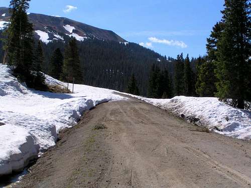
Impassable snow on road to Treasure Creek, late May 2005