
|
|
Mountain/Rock |
|---|---|
|
|
46.81111°N / 8.91472°E |
|
|
11857 ft / 3614 m |
|
|
Overview
Only 66 km south of Zurich, the largest city of Switzerland, is a mountain, that is ca. 500 m higher than all its neighbors:Toedi (Tödi). No wonder that many who see the impressive and broad mountain on sunny days from far away want to climb it some day. That has been the case since the 19th century, when dozens of small expeditions were organized to crest after the two chamois hunters Augustin Bisquolm and Placi Curschellas reached the top on September 1st 1824. The 72 year old Benedictine monk Placidus a Spescha had sent them to the summit on his 5th attempt, when he was convinced that he would not make it anymore.
The run after this mountain must have been considerable and some of the enthusiasts got together in 1863 and founded the Swiss Alpine Club. Its first task was to build the Gruenhorn hut at 2448 m on the way to the Toedi, erected in the same year.
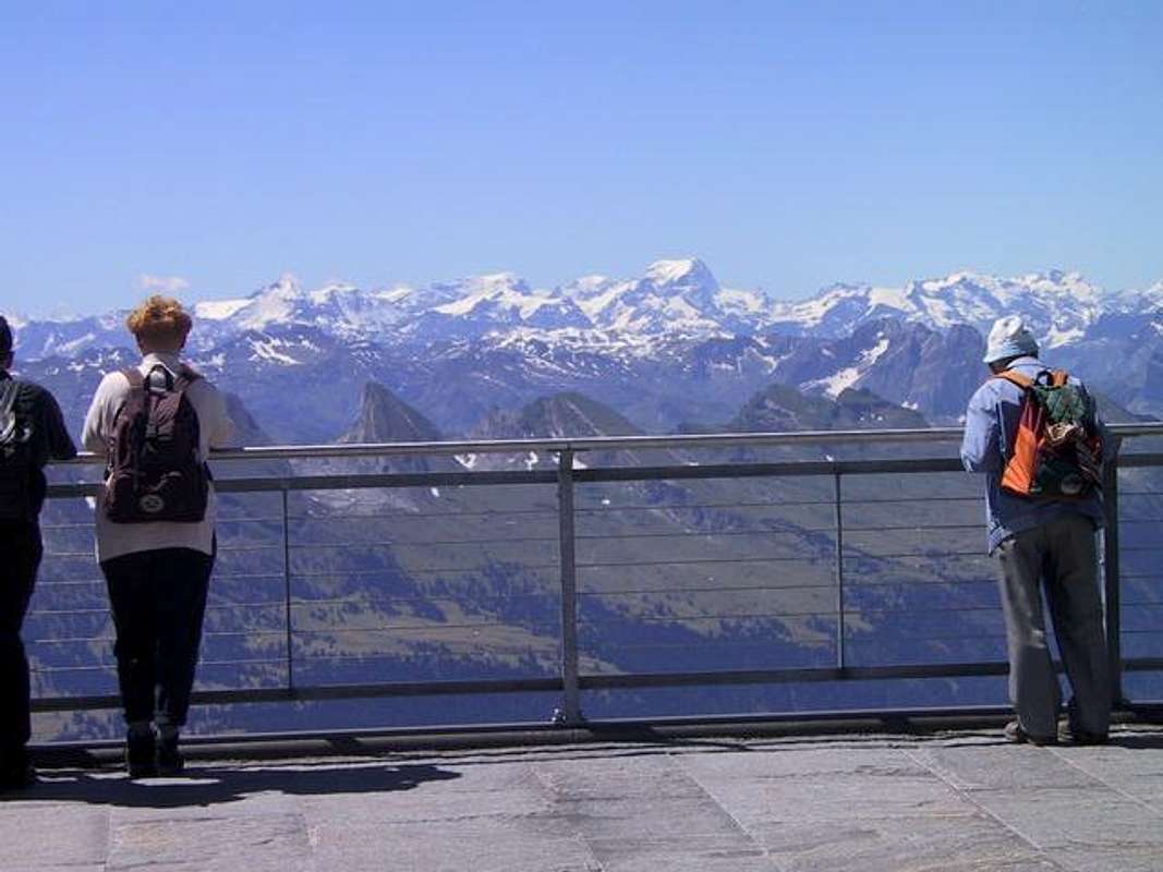
The top of Toedi is a triangle with three peaks: Piz Russein (3614 m) that is seen from south and west, Sandgipfel (3390 m) and Glarner Tödi (3586 m) to be seen from Zurich. All peaks can bei climbed on the same day. There are 8 different main routes (with additional sub routes) to choose from 4 different huts. The climbs are either ice, ice/rock or ski. The rock is not of high quality. The normal route over the Biferten glacier is usually not difficult, but may be depending on the condition of the glacier. In each case, the trip is long and the climber should be fit. 5 hours and more depending on route.
The main routes are:
1. Fridolin hut - Biferten glacier (normal route, also with ski)
2. Fridolin hut - north ridge (ice/rock, long, IV)
3. Fridolin hut - Roeticouloir (ice/rock, long, V, interesting)
4. Fridolin hut - Gruenhorn (mostly rock, IV, beautiful)
5. Punteglias hut - Porta da Gliems (fixed rope, ski)
6. Planura hut - SW-face (many variations)
7. Planura hut - NW-face (difficult, very long)
8. Fridolin hut - NW-face of Sandgipfel (unusual)
Link for books and maps:
Literature and Maps
Books:
Clubführer Glarner Alpen, Verlag SAC, in German
Alpine Skitouren, Vol 2, Graubünden, Verlag SAC, in German
Map Nr. 1193 Tödi 1:25'000
Map Nr. 1213 Trun 1:25'000
Map Nr. 246 Ski Klausenpass 1:50'000
See the Swisstopo Map with many interesting features. Upload is in a seperate window.
 |  |  |  |  |
Getting There
Since It is possible to get from Zurich to Linthal in 1 - 2 hours by car or train, most Toedi climbers use this town nearGlarus as the starting point. Linthal is also the starting place to climb the Klausenpass by car and reach the Gotthard autobahn near Altdorf, where Tell Billy was apple shooting in the 13th century. A flat road leads to Tierfehd (805 m), 5 km behind Linthal, where the rather long climb to the Fridolin and Gruenhorn huts starts. The narrow road up to Sand is not open to cars and sometimes damaged by landslide. The way is easy to find.
The Toedi region can also be reached from the Klausenpass (1948 m) to be reached in summer by car or bus. Park
the car (no charge) and climb the Chammlijoch (3021 m) and traverse the Huefifirn to reach the Planura hut. This hut was a
present by Zurich tycoon to the Swiss Alpine Club and makes no alpinistic sense. Wonderful scenery, but no mountaineer - only trekkers walking from hut to hut - would invest up there (2974 m). It is one of the few places in Swiss Alps where a GPS can be useful. During snowfall it may be difficult to find the hut and you would not be the first person to spend the night on the Huefifirn. only some yards away from the hut. If you leave the Klausenpass do not follow the 95% of the crowd that climbs the Clariden, but traverse ca. 1 km to the west before you start the climb to the Chamlijoch next to the Scherhorn (scissors, as it looks like). Crampons are practical to crest this saddle.
Some skiers like the idea of the high starting point of the Klausen pass and realize in the Planura hut that climbing the Toedi from there is not exactly what they wanted, since they must transfer to the Fridolin hut on the steep and icy north flank of the Toedi early in the morning which is not at all pleasant.
More sense makes a longer car or train trip to Trun (861 m) in Grison and climb the Punteglias hut (no skis or carry them on the shoulder). Climb the Toedi next day from south and descend to Linthal (or the other way round). Well trained climbers enter the Val Russein (between Trun and Disentis) and get to the saddle Porta de Gliems directly. I prefer such tours where ascent and descent are not identical.
 |  |
When To Climb
Foot: in summer of course is best, fall may be icy.Ski: diffucult to hit the right day. You can either have much snow, then you can ski to Tierfehd, but may have avalanches. This can be avoided by choosing a very cold day, but with some wind on the summit, this may be unpleasant. If you wait until May, then you must carry the skis a long way. Around Easter may be best.
Accommodation
Huts of the Swiss Alpine Club (SAC) are always open, but the guardian is only there to serve food in summer and on nationalholidays where many visitors are expected. If he is not there you can cook your own meal. Blankets are there, you do do not
need a sleeping bag. Phone installed for rescue (REGA).
Fridolin huts: 2111 m, 60 + 20 places, food and drink from July to September. Hut: ++41 (0) 55 643 34 34; info: ++41 (0) 55 653 10 94. 4 hours from Tierfehd.
Gruenhorn hut: 2448 m, 10 places. Phone at hut: ++41 (0)55 643 34 34. Oldest hut of SAC, built in 1863. One hour above the Fridolin hut, not ideal for tourists, only a shelter and mainly a museum!
Punteglias hut: 2311 m, 42 places, guard from July to September. Phone hut: ++41 (0) 81 943 19 36. 3.5 hours from Trun 860 m (train) or 2.5 hours from Alp da Schlans Sut 1723 m (car park)
Planura hut: 2947 m, 60 places, guard: Easter and summer. Hut: ++41 (0) 885 16 65. 5 hours from Klausenpass. Other possible ascents: from Huefi hut 3 hours, Disentis 7.5 hours, Tierfehd (Linthal) 6.5 hours, Clariden hut 3 hours, Fridolin huts 4 hours.
Camping not allowed near huts.
Keyser Soze - Dec 18, 2004 2:36 pm - Hasn't voted
Untitled CommentEmil Zopfi published a beautiful book about Tödi in 2000. It contains excellent photos and stories about this fantastic summit and its routes. Amazon.com don't have it, but here's the site of the editor.