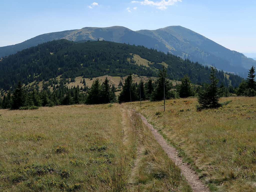
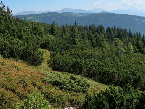
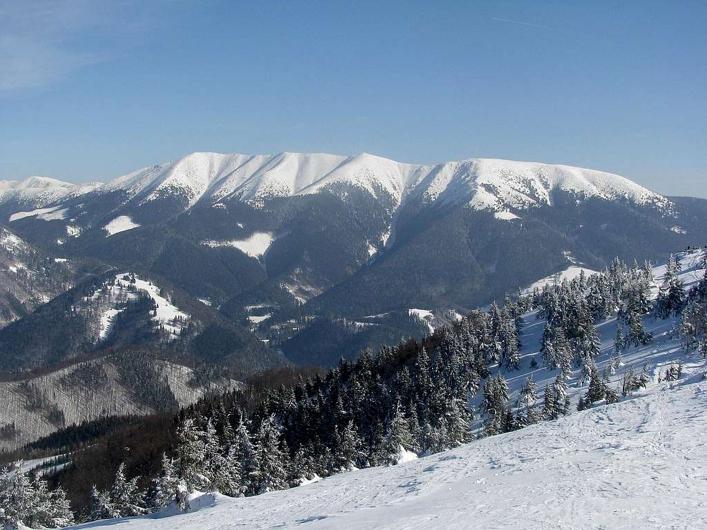
Veľká Chochuľa at 1753m is the highest summit in the west of the Ďumbierske Tatry. It sits on the main ridge and is the highpoint of a large massif made up of the following summits (from SW to NE): Prašivá (1652m), a nameless summit (about 1735m), Malá Chochuľa (1719m), Veľká Chochuľa, Košarisko (1695m) and Skalka (1549m). Veľká Chochuľa has a prominence of 277m but its most imposing feature is its isolation, which is over 11 km. The mountain looks similar to its neighbours, Malá Chochuľa to the SW and Košarisko to the ENE. Its north and northwest sides are steep and prone to avalanches. The top is covered with grass and patches of dwarf mountain pine.
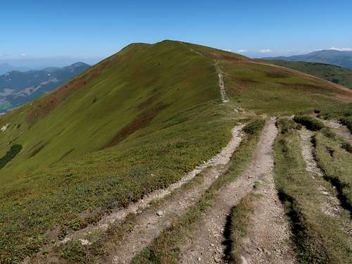
Malá Chochuľa
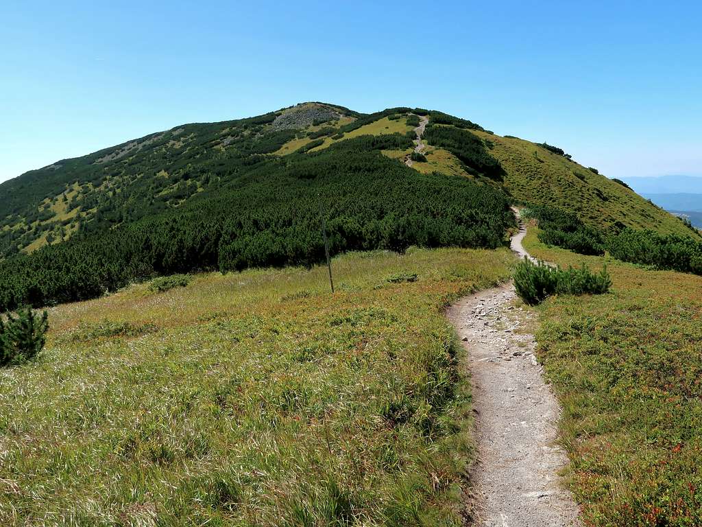
Middle Chochuľa
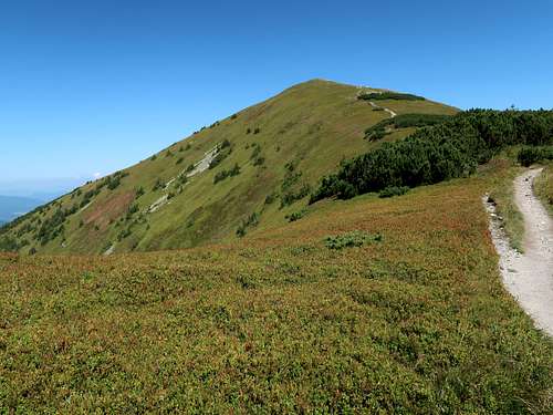
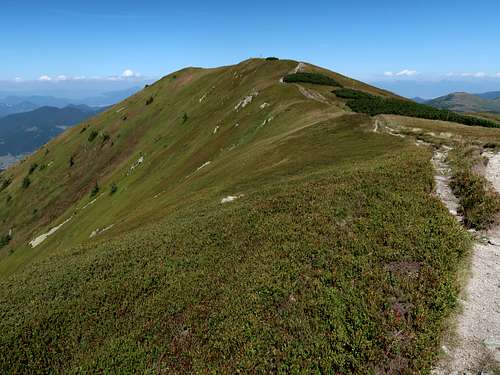
Veľká Chochuľa
The area must have been intensely grazed in the past except for Prašivá, which is located between Malá Chochuľa and the west end of the Nízke Tatry, namely Hiadeľské sedlo. It is interesting that it is Prašivá, not Veľká Chochuľa, which gives its name to the southwest quarter of the Ďumbierske Tatry. Prašivá is the westernmost summit on the main ridge. It rises about 550m above Hiadeľské sedlo, the pass at the west end of the Nízke Tatry, and is an outstanding mountain in that it – due to its geology – has more patches of rocky ground and less grass than the other mountains in the Prašivá Group. The summit knoll of Prašivá is formed of talus and gives an excellent view of the main ridge of the Ďumbierske Tatry.
Prašivá from N
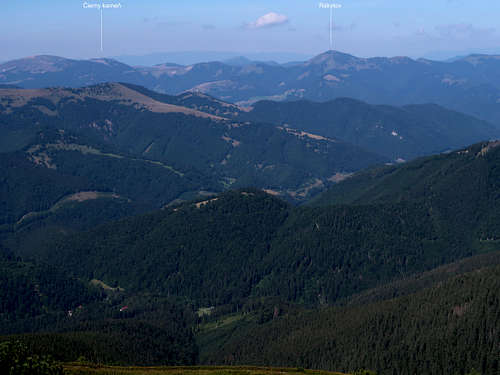
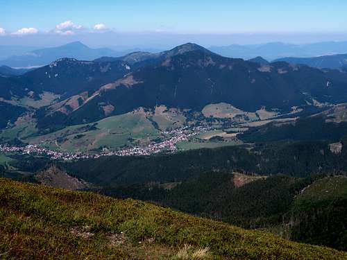
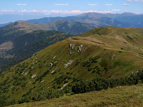
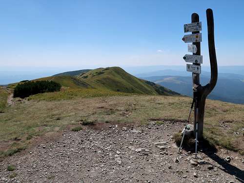
Views from both Veľká Chochuľa and Prašivá are extensive.
Getting There
From the North
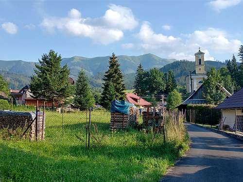
The town of Ružomberok is easily accessible by both road (D1 motorway) and rail (one of the oldest railway lines in Europe; several Intercity and fast trains a day). The distance between Ružomberok and the trailheads (Korytnica-rázcestie and Liptovská Lúžna, both accessible by bus) is about twenty-five kilometres.
The trailheads (Hiadeľ, Brusno, Pohronský Bukovec, Ráztoka) lie less than 25 km ENE of the town of Banská Bystrica, on or just north of a railway line and national road 66.
Trails & Maps
The statistics in the following table refer to the waymarked trails to the summit of Veľká Chochuľa.
You are supposed to stick to the waymarked trails.
Camping for one night is allowed at Hiadeľské sedlo. There is also a decent shelter (year 2023) there. Nearby is a decent spring (by which I saw a bear paw print).
In recent years there have been several bear attacks on people. Most resulted in serious injuries. In June 2021 a local man was killed by a bear outside the village of Liptovská Lúžna: Bears
Mountain Conditions & Rescue
In Slovakia those who do not carry commercial insurance have to pay for any rescue services rendered by Mountain Rescue Service (HZS)
HZS phone number: 18 300
Mountain conditions, including avalanche danger level, on HZS site
Weather forecast for Veľká Chochuľa on meteobox.sk
Parents refers to a larger category under which an object falls. For example, theAconcagua mountain page has the 'Aconcagua Group' and the 'Seven Summits' asparents and is a parent itself to many routes, photos, and Trip Reports.