-
 1844 Hits
-
 75.81% Score
-
 6 Votes
|
|
Mountain/Rock |
|---|---|
|
|
47.38172°N / 10.66213°E |
|
|
Hiking, Mountaineering, Via Ferrata |
|
|
Summer, Fall |
|
|
7156 ft / 2181 m |
|
|
Overview
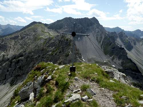
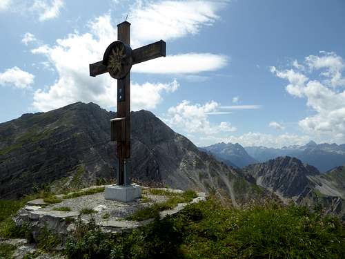
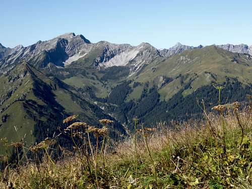
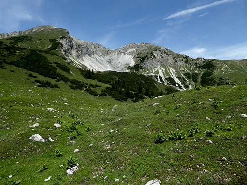
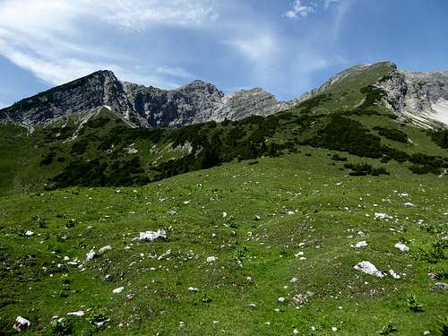
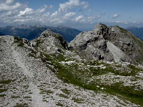
Steinkarspitzen belong to Ligfeistgruppe, a small subgroup of Lechtaler Alpen at their very eastern end. There are two culmination points, Vordere Steinkarspitze to the north and the higher Hintere Steinkarspitze to the south, each of them marking the very end of the connecting ridge. Our summits are bordered by Rotbach valley and Steinkar cirques to the southeast and the remote Ligfeist valley to the northwest.
As most of the Ligfeist summits, Steinkarspitzen are not very prominent. Nevertheless they receive quite a lot of visits. An easy via ferrata, called “Reuttener Höhenweg”, links the two summits together and offers an even longer and wider traverse of the southern main ridge of Ligfeistgruppe, including Knittelkarspitze, the highest peak of the area to the southwest, Galtjoch and even Abendspitze to the northeast of Steinkarspitzen in one day.
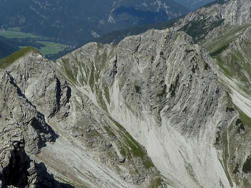
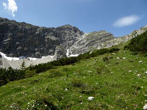
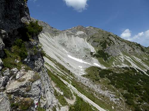
The eponymous Steinkar cirques are located east of the two summits and do honour to their denomination: both Steinkarspitzen summits tend to cruble away and the resulting scree build up the two cirques.
Getting There
Main trailheads for the both Steinkarspitzen routes are:
- Rinnen
- Kelmen
All two villages are located at the Namlos valley which borders the south side of the Ligfeistgruppe.
By car:
- From Reutte or Arlberg direction use road number 198 to Stanzach. Turn on the “Berwang-Namloser Landesstraße” (signs for Namlos, Berwang) and proceed to one of the two above mentioned villages with the trailheads.
- Alternatively use road number 179 from Reutte to Bichlbach and turn on the “Berwang-Namloser Landesstraße” until you reach one of the two trailheads.
- From Innsbruck go on highway A 12 to the exit “Telfs”, proceed on road number 189 to Nassereith and on road number 179 to Fernpass, Lermoos and Bichlbach. Follow the signs to Berwang and Namlos to one of the two trailheads.
- Take highway A95 from Munich to its end and proceed on road number B2 and B23 / 187 to Lermoos. Turn on road number 179 to Bichlbach and go on like described above.
Rinnen trailhead: Leave the Landesstraße in front of the huge Hotel Thaneller. Follow the small road into the equally small village, this narrow road curves down into Rotlech valley. Go straight on until you reach a hikers parking area.
Kelmen trailhead: Follow the Landesstraße until you reach the road junction with the road to Kelmen. You can park at the road junction or alongside the road up to the tiny village of Kelmen.
Public transportation:
Nearby railroad station is: Bichlbach.
Bus number 151 goes to Rinnen. There is no public transportation to Kelmen as far as I know.
Routes Overview
Trailhead Rinnen:
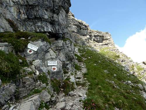
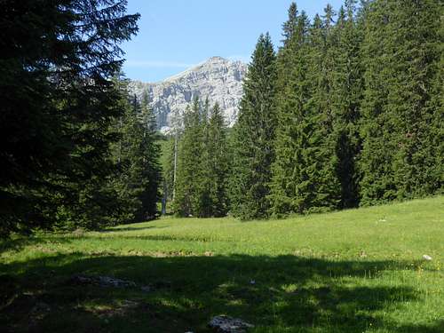
Take the forest road into Rotbach valley, turn on trail to Raaz Galtalpe hut, starting at the switchback of the forest road. From the alm hut follow the trail to a trail junction, turn left and immediately right (signposts), ascend Steinkar to the trail junction with the summit trail to Knittelkarspitze, branching off to the left.
Reuttener Höhenweg:
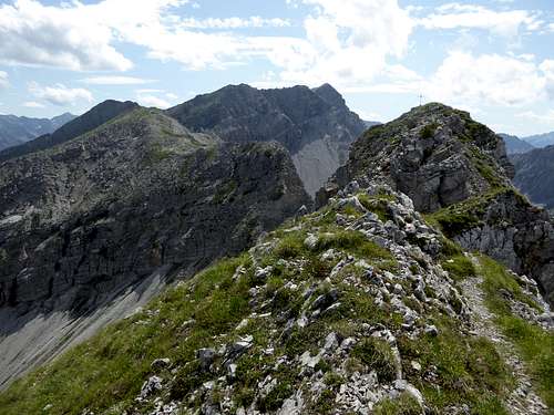
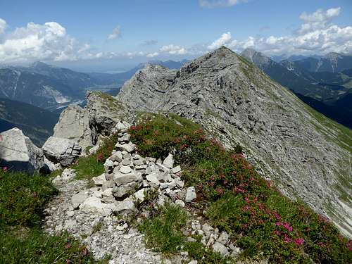
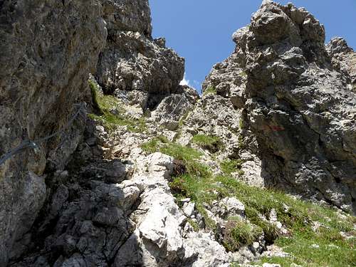
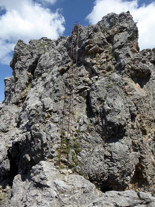
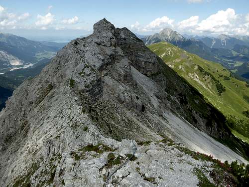
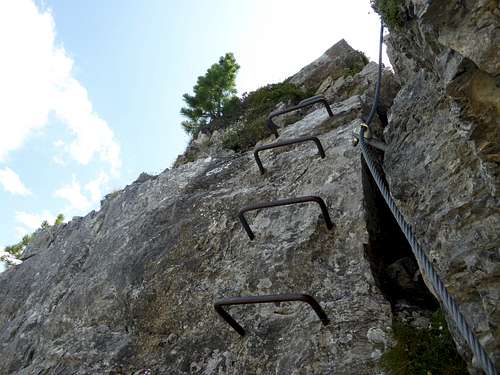
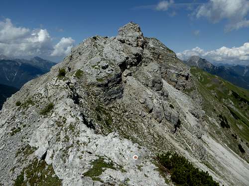
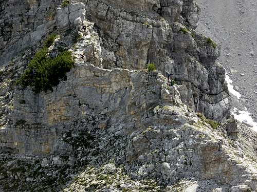
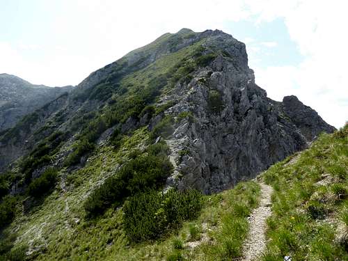
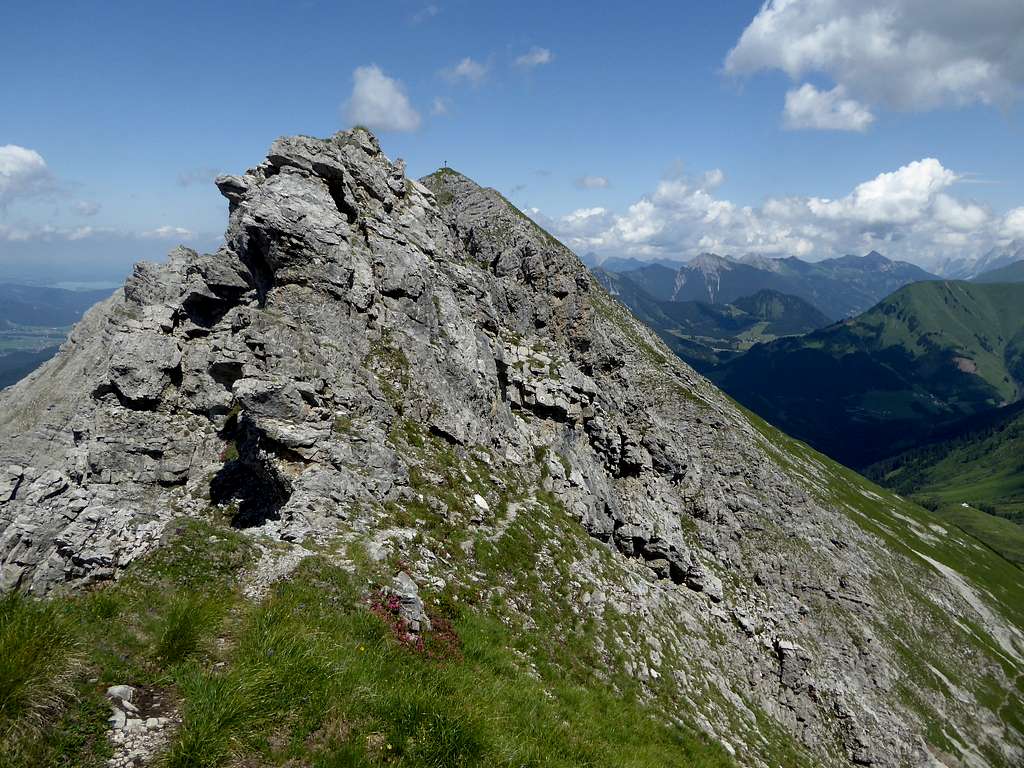
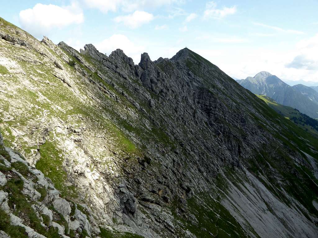
Go straight on (sign for Reuttener Höhenweg), climb up to the ridge crest and follow the ridge crest to Hintere Steinkarspitze. The route is secured and leads over some rock spires or navigates round them on their southeast side. A long iron ladder secures a very steep rock step.
To Vordere Steinkarspitze there first is walking terrain, then the ridge gets narrow again and some easy, secured rocks lead you to the steep but equally easy summit rock of Vordere Steinkarspitze. Follow the northeast ridge into the col in front of Galtjoch. Turn right and descend into Steinkar cirques. Traverse the cirques at their lower end and meet the trail junction with the trail coming up from Raaz Galtalpe.
Trailhead Kelmen:
Follow the road to the uppermost part of Kelmen village. Follow the forest road in some zigzags up the south slope of Kelmer Spitze. After the 7th switchback take the right hand trail and ascend to Kelmer Jöchl col. Traverse into Steinkar cirque to the trail junction above Raaz Galtalpe hut. Follow the sign “Knittelkarspitze to the start of Reuttener Höhenweg and proceed as described above.
Red Tape & Accommodation
Red Tape
No restrictions a s far as I know.
Accommodation
Mountain huts
Gear & Mountain Condition
Both Steinkarspitzen and the Reuttener Höhenweg are a summer and autumn outing.
The Reuttener Höhenweg is an easy via ferrata and rated A, easy. Beginners, however, should bring self bely. A helmet is recommended.
Weather for Berwang:
Maps
Österreichische Karte, scale 1 : 50000
Number 2221, Imst, with UTM-grid, BEV – Bundesamt für Eich- und Vermessungswesen, Wien
Österreichische Karte, scale 1 : 25000
Number 2221-Ost, Erwald, with UTM-grid, BEV – Bundesamt für Eich- und Vermessungswesen, Wien, edition 2013
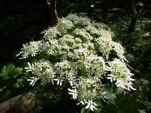
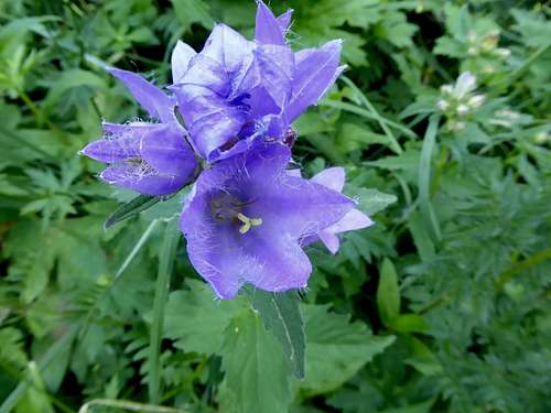
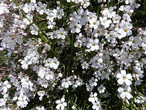
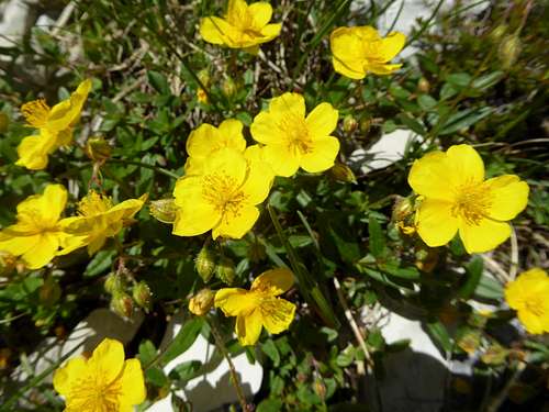
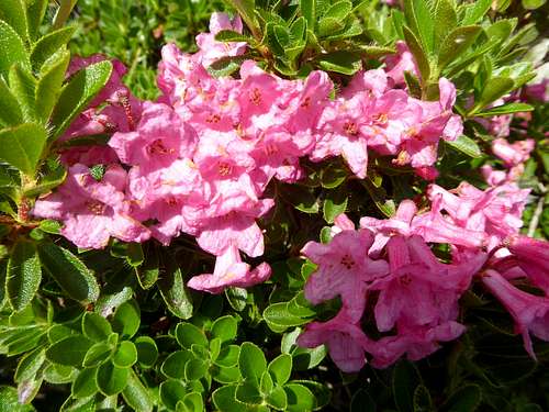
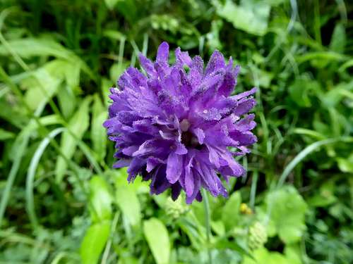
Wildflowers of Ligfeistgruppe
Lechtal Alps are famous for their wildflowers. The eastern subgroups are no exception. Here are some nice examples.


