
-
 8299 Hits
-
 85.36% Score
-
 20 Votes
|
|
Mountain/Rock |
|---|---|
|
|
36.78578°N / 116.94539°W |
|
|
Inyo |
|
|
Hiking |
|
|
Spring, Summer, Fall, Winter |
|
|
5510 ft / 1679 m |
|
|
Overview
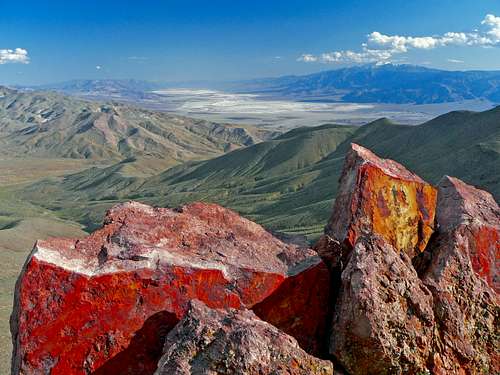
Death Valley south from Daylight Peak
Getting There
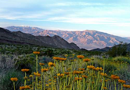
Over Death Valley to the Panamint Range from near Daylight Pass
From Furnace Creek: Go north on Hwy. 190 10.5 miles. Turn right on the Beatty Cutoff Road and go 9.5 miles to Hwy. 374. Go right 6 miles to Daylight Pass.
Red Tape
There is a 20 dollar entrance fee into Death Valley National Park good for 7 days. 80 dollars will get you an America the Beautiful Federal Lands and Recreations pass good for all National Parks for 1 year from the date of purchase.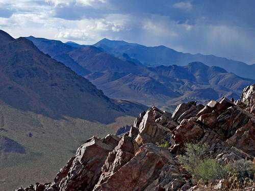
Camping

East from Daylight Peak
You can also car camp outside the national park boundaries on the unpaved road to Chloride Cliffs. Go 4.5 miles from Daylight Pass towards Beatty on Hwy. 374 and turn right (south) at a dirt junction. Drive in as far as you like and find a pull-out off the road. 2 wheel drive is ok on the flat before it climbs to Chloride Cliff.
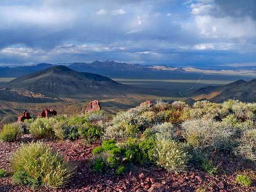
East from Daylight Peak, southeast ridge