-
 320 Hits
-
 78.67% Score
-
 11 Votes
|
|
Mountain/Rock |
|---|---|
|
|
47.13223°N / 11.59838°E |
|
|
Hiking, Skiing |
|
|
Spring, Summer, Fall, Winter |
|
|
8320 ft / 2536 m |
|
|
Overview
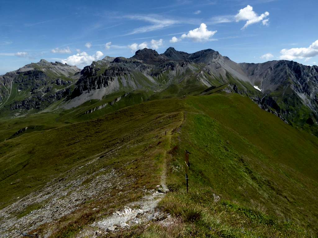
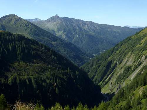
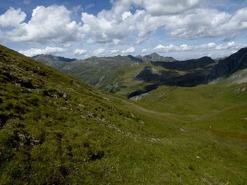
During our august 2023 stay at Innsbruck I intended to summit the highest mountain of Tuxer Alpen, Lizumer Reckner, via an south route. As this route starts at Ladins – Obern, a part of the village and valley of Schmirn, it would be a normal day hike for us with a bit more than 1300 meters of altitude difference. On normal days nothing too exaggerated. But it must have been one of the hottest days of the summer 2023 and even at 2500 meters of altitude we where at 25o Celsius – 77o Fahrenheit. Being on a south route on such a hot day …. you can imagine.
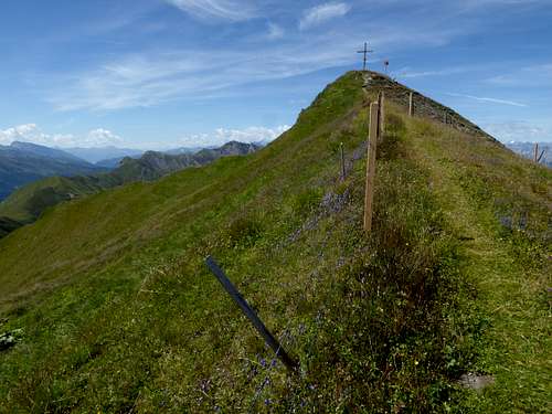
Arriving the ridge crest at about 2500 meters we were finished. But to our left was visible a bump with a summit cross. The map reads: Kreuzjöchl, 2536 m. We called it a day on Kreuzjöchl…..
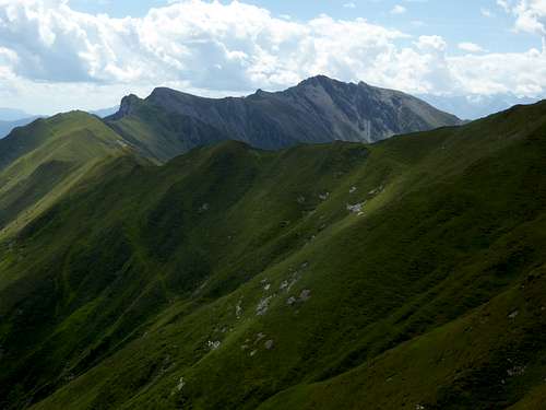
Kreuzjöchl is part of the ridge between the masses of summits around Lizumer Reckner to the east (Naviser Reckner, Lizumer Reckner, Geier, Pluderling) and Schafseitenspitze to the west. At Schafseitenspitze the ridge splits up in two and ends high above the main valley going up to Brenner Pass.
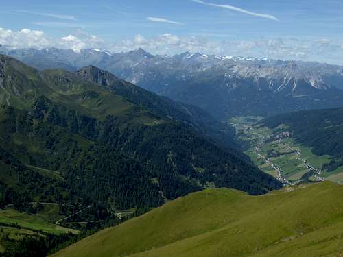
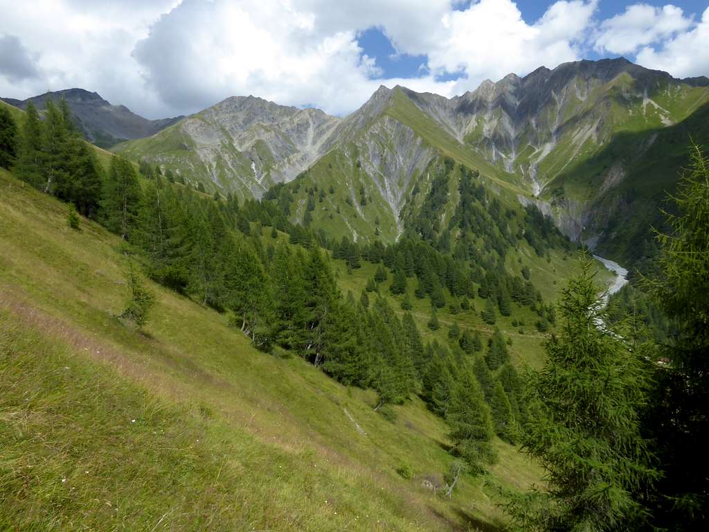
This ridge is bordered by Naviser valley to the north and Schmirn valley to the south. These valleys branch off from the main valley to Brenner and are rather unknown to hikers and ski tourists. They still have a sort of remoteness which is not frequently found in the Alps in our days.
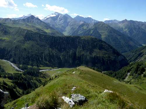
Kreuzjöchl looks down to the upper Naviser valley - for this its called Naviser Kreuzjöchl, too, to distinguish it from the other Kreuzjöchls within Austrian Alps - and to Kluppenbach valley, which is the uppermost part of Schmirn valley. Neighbouring summits are Hohe Warte to the west and the cluster of summits around Lizumer Reckner to the east.
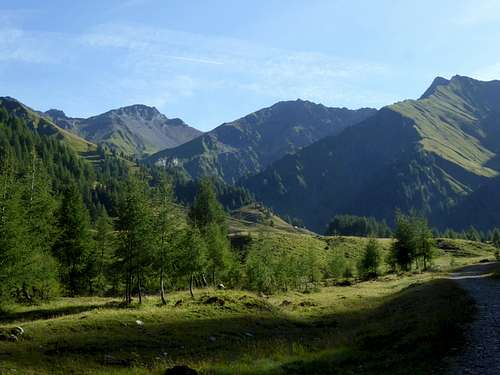
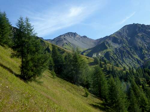
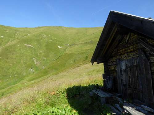
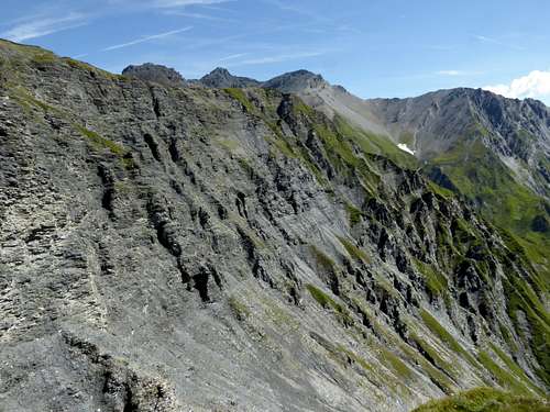
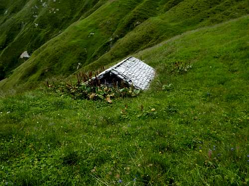
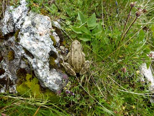
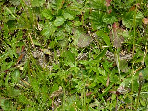
I can really recommend this south route to Kreuzjöchl and to Lizumer Reckner (on cooler days). It is, as you can see on the fotos, a beautiful and remote landscape, full of botanic and geological surprises. And at the end of such a day there is a simple inn at Ladins-Kasern, not far away from the trailhead, which offers good food an a sunny terrace to relax.
Getting There
The main trailheads for Kreuzjöchl are
- Navis village to the north
- Ladins-Obern within Schmirn valley to the south
Coming from Innsbruck or Italy, leave the highway number A13, Innsbruck – Brenner pass (tollroad) at exit Matrei am Brenner.
Go right on road number 182.
- For Navis immediately go right again on Naviser Landstraße out of Matrei and follow Naviser Landstraße and then right Unterweg until you reach Navis village and the parking area near Kirchenwirt inn.
- For Ladins-Obern stay on road number 182 in the direction of Brenner pass, go through Steinach village until you reach Stafflach village. Go left there to Außervals village and Sankt Jodok. At a road junction take the left hand road (Schmirntal Landesstraße) to Innerschmirn. Go straight on there to Kasern / Madern and shortly to the parking area at Ladins.
Public transportation
Next railroad station for Navis is Matrei am Brenner. Bus number 8365 goes from the railway station to the bus stop “Navis / Jenewein” at the Navis valley trailhead.
Next railroad station for Navis is Steinach am Brenner. Bus number 4144 starts there and ends at the trailhead Schmirntal valley / Ladins.
Routes Overview
Trailhead Schmirn valley, Obern / Ladins
- From the parking area follow the forest road north into Kluppenbach valley and to Kluppenalm.
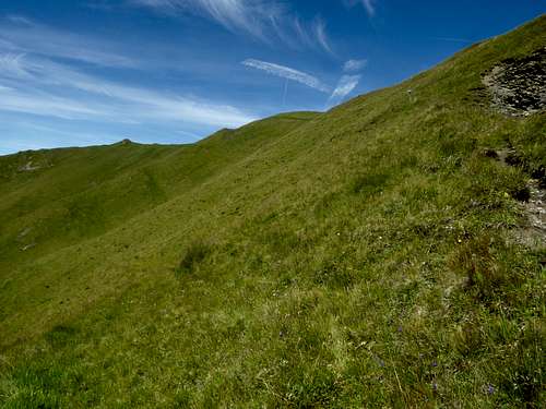
- Go left there to a signpost. Follow the right hand trail steeply up a long, south vergent ridge to the ridge crest.
- Go left there until you reach the summit.
From Navis, parking area Kholstatt
- Follow the road through the village of Navis. Take the forest road leading straight on where the road turns to the left. Follow this forest road up to Naviser Hütte and to Stöckl Alm hut.
- Take the trail leading up to the west ridge of Kreuzjöchl and to the summit.
Alternatively
- Take the forest road from Navis, Kirchenwirt inn into Weinrichsbach valley. Pass by Weichrisalm hut, Blasigler Alm and Stoffen Alm hut to Mösl Alm and to the end of the forest road.
- Take the trail up to the south ridge of Kreuzjöchl and to the summit.
Both routes can be combined to a loop route.
Ski route
- From Navis to Stöcklalm on the forest road, some short cuts possible. Further ascent on the west slope until you reach the west ridge and the summit.
- Descent like ascent route, alternatively over the broad and beautiful north slopes in the direction to Klammalm. At a hight of 2100 m go left, ski to Poltnalm hut and to Naviser hut. Descend on the forest road back to Navis.
Red Tape & Accommodation
Red Tape
The north slopes of Kreuzjöchl belong to the military training ground “Walchen – Tuxer Alpen”. Don´t use these slopes during the training times which are announced
The here described hiking routes and the ski route via Stöcklalm (ascent and descent) are not involved!
Accommodation
Mountain huts
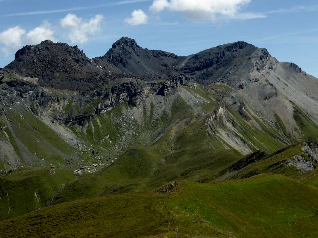
Naviser Hütte (private mountain hut)
Gear & Mountain Condition
In summer and autumn Kreuzjöchl is an easy hike in a rather lonely and remote surrounding.
Good hiking gear is required besides hiking poles and – early and late in the year – gaiters.
Kreuzjöchl is a ski tour for beginners, too. Nevertheless, full ski tour and avalanche gear is mandatory.
See the avalanche bulletin here.
Weather Condition
Valley weather Schmirn:
Mountain weather Naviser Kreuzjöchl:
Maps
Alpenvereinskarte, scale 1 : 50.000
Number 31/5, Innsbruck
with trails and UTM-grid, edition 2018
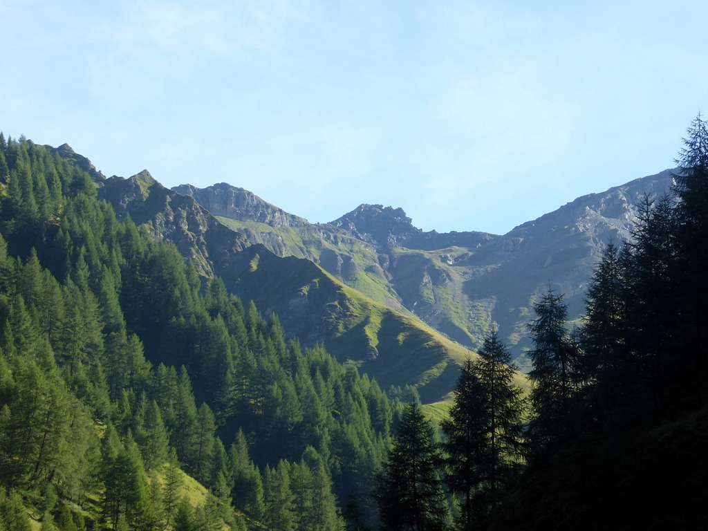
Flora of Naviser Kreuzjöchl
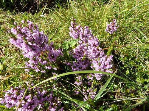
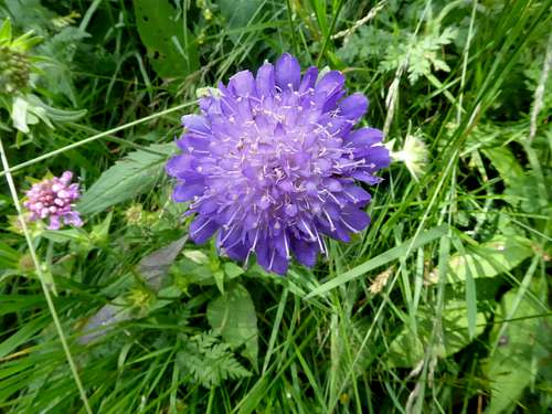
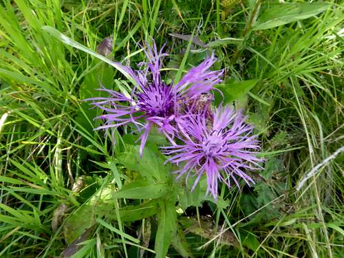
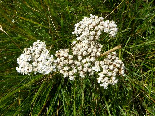
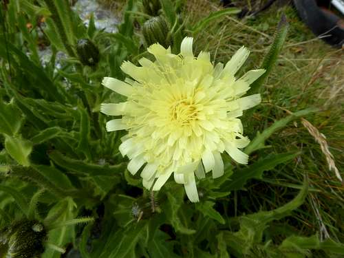
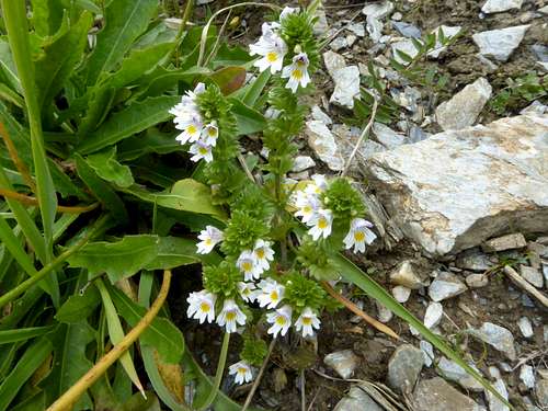
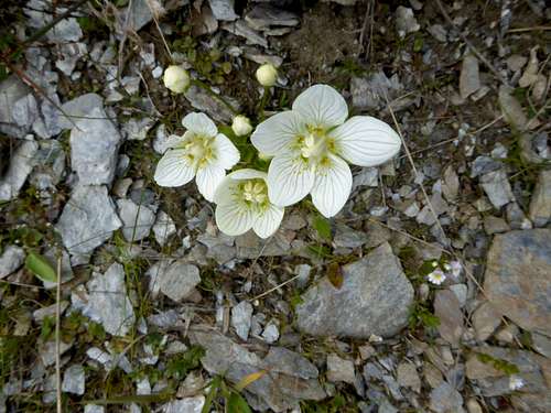
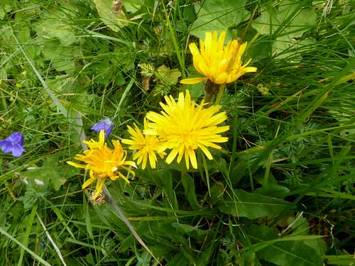
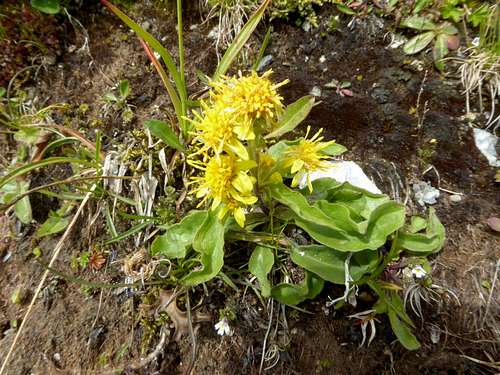
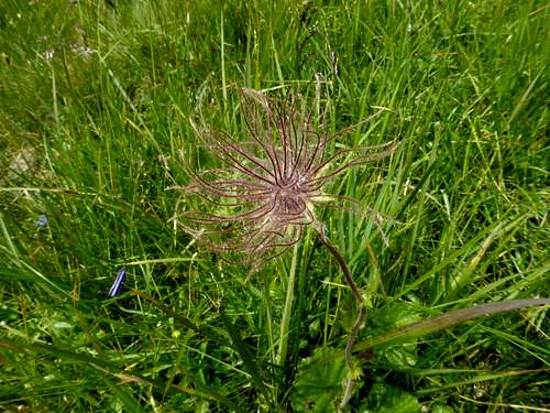
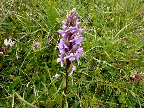
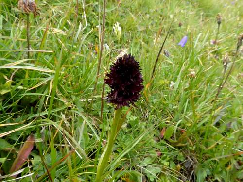
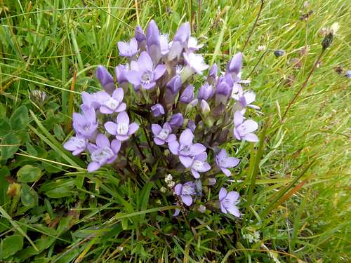
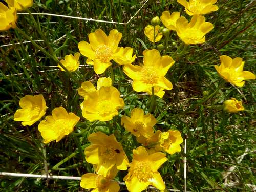
In summer there is an abundance of wildflowers on the south slopes of Kreuzjöchl and the surrounding mountains. Here is a bunch of flowers picked with my camera.


