-
 1320 Hits
-
 77.48% Score
-
 8 Votes
|
|
Mountain/Rock |
|---|---|
|
|
Hiking, Skiing |
|
|
Spring, Summer, Fall, Winter |
|
|
8166 ft / 2489 m |
|
|
Overview
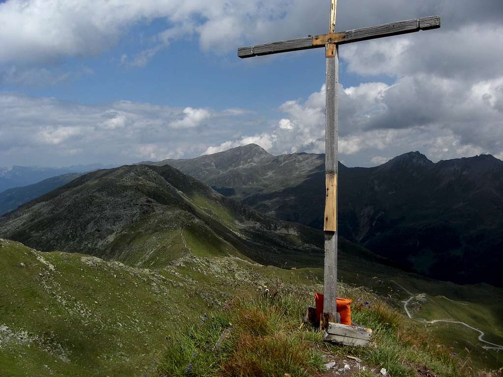
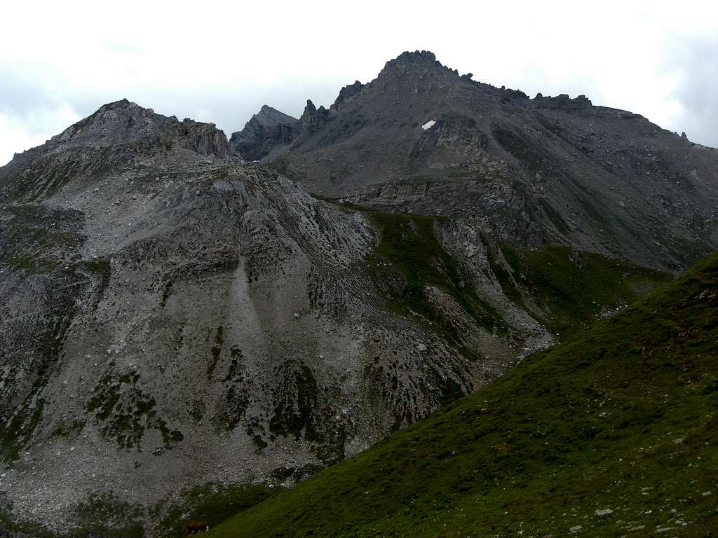
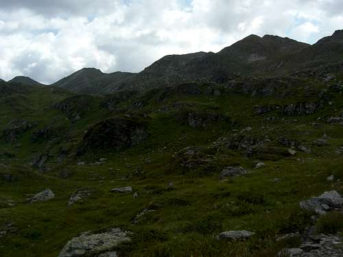
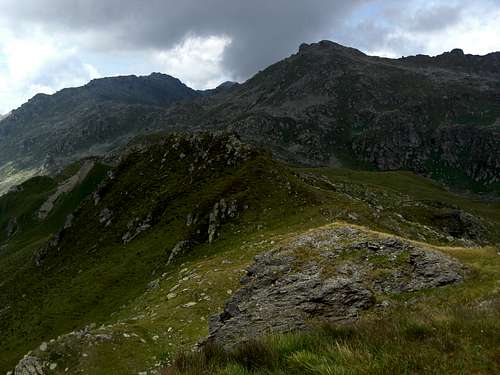
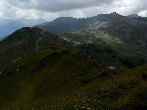
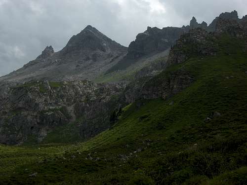
Mölser Sonnenspitze is a minor summit within the Reckner Group of Tuxer Alpen, following Gangolf Haubs structure of the area. It is the highest point of the broad col – like ridge which connects the Lizumer Reckner and its adjacent peaks with the Malgrübler – Naviser Sonnenspitze ridge. To the west there are the two Klammerschober summits, to the north a subridge of Mölser Sonnenspitze ends at Mölsberg summit, to the southeast above Klammhoch are looming Tarntaler Köpfe and Klammspitzen.
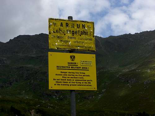
Mölser Sonnenspitze lies within the huge military training area of Walchen - Lizum. This military area is closed during military manoeuvres. You find the closing times on this site.
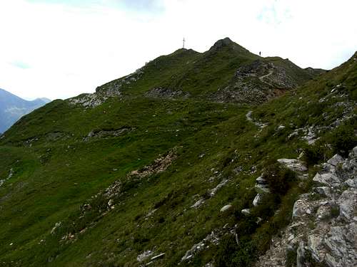
Mölser Sonnenspitze is an easy summer / autumn hike and a likewise easy ski tour in winter and spring. It is, as most of Tuxer Alpen, not very frequented.
Getting There
Trailheads for Mölser Sonnenspitze are
- end of Navis valley to the south
- Parking area “Lager Walchen” at the end of the public road into Wattener Lizum (northern entrance to the military area “Walchen – Lizum”)
You reach Navis valley by car:
- on highway A 13, Innsbruck – Brenner” (toll road) until the exit “Matrei / Steinach”. From the exit follow “Naviser Landesstraße” to Navis and then “Oberweg” to the parking area “Parkplatz Navis".
You reach parking area “Lager Walchen” by car:
- on highway A 12, Kufstein – Innsbruck (toll road) to exit “Wattens”. Head for Wattens center and go on Wattentaler Weg / Wattental Landesstraße until you reach the huge parking area.
Public transportation:
Nearest railroad station to the west / Naviser Tal is Matrei am Brenner. There is, however, no bus service up to Naviser valley.
Next railroad station to the north is Wattens / Fritzens. There is likewise no public transportation to the trailhead.
Routes Overview
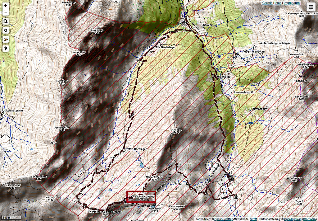
South route from Navis parking area:
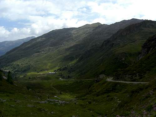
Trailhead – forest road to Peeralm and Klammalm – Obere Knappenkuchl - Klammjoch – summit.
This is the southern ski route, too
North routes from Lager Walchen parking area:
There are two options which can be linked to a loop route:
Trailhead – Möls Niederleger – Möls Hochleger – Klammerschober – summit and
Trailhead – Arbesbichlalm – Lizumer Hütte – Mölser Scharte – summit.
Ski routes use the northest slopes above Möls Hochleger and the east slopes from Lizumer Hütte to the summit.
Red Tape & Accommodation
Red Tape:
You have to stuck closely to the military regulations within the training area. Look for the closing times of the military training area here.
Outside the training times forest roads and trails can be used but should not be left.
Downhill skiing only along the ski routes.
Accommodation can be found at
Mountain huts
Lizumer Hütte (alpine club hut)
Klammalm (food and drinks only)
Naviser Hütte (private alpine hut)
Gear & Mountain Condition
Mölser Sonnenspitze is an easy hiking or skiing summit.
In summer you need normal hiking gear and good shoes. The route is mainly along forest roads.
In winter you need ski tour and avalanche gear. Look for the Tirol avalanche bulletin here.
Weather Wattens:
Maps
Alpenvereinskarte, scale 1 : 50.000
Number 31/5, Innsbruck
with trails and UTM-grid
edition 2018
