
|
|
Route |
|---|---|
|
|
34.87180°N / 111.8121°W |
|
|
Hiking |
|
|
Spring, Summer, Fall, Winter |
|
|
Most of a day |
|
|
Hike |
|
|
Overview
This hike combines a number of different trails to create a 13.8 mile loop around Capitol Butte to the north of Sedona, Arizona.
Getting There
I started my hike at Thunder Mountain Trailhead. Many other trailheads can also be used.
From the intersection of Routes 89A and 179 in Sedona, drive 3.1 miles west (south) on Route 89A and turn right (north) onto Dry Creek Road. Go half a mile and turn right onto Thunder Mountain Road. Trailhead is on the left after 0.6 miles.
Route Description
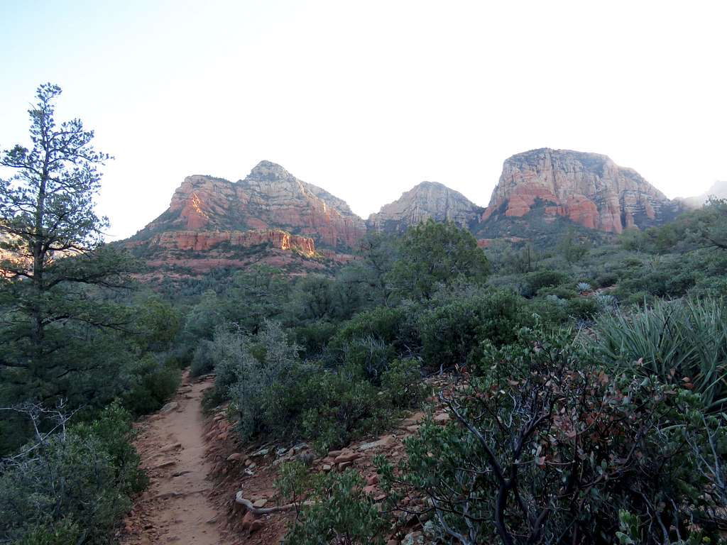
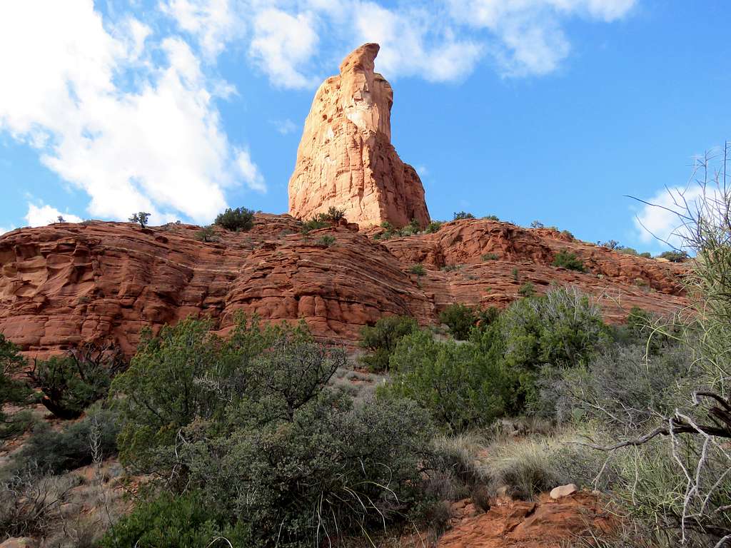
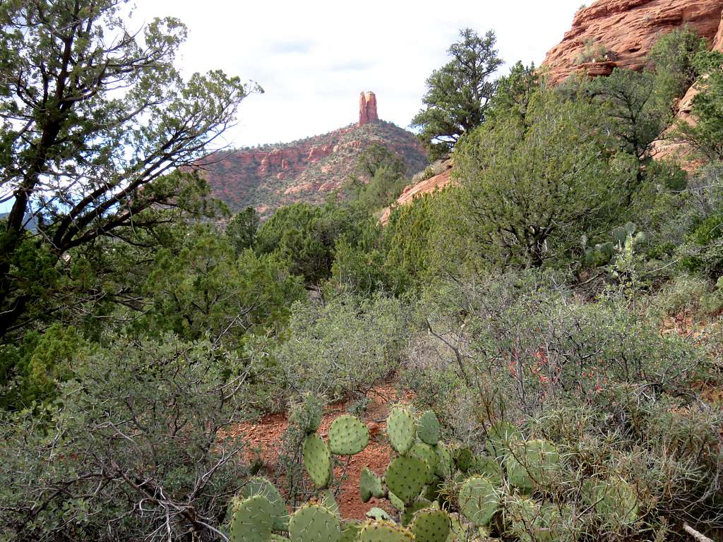
This description starts at Thunder Mountain Trailhead and goes around Capitol Butte clockwise. You can get on Chimney Rock Pass Trail where you will have views of Chimney Rock.
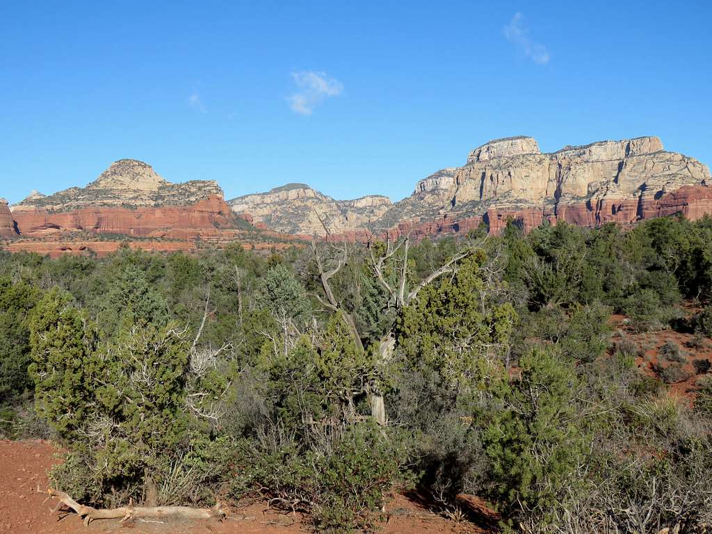
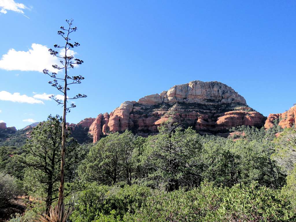
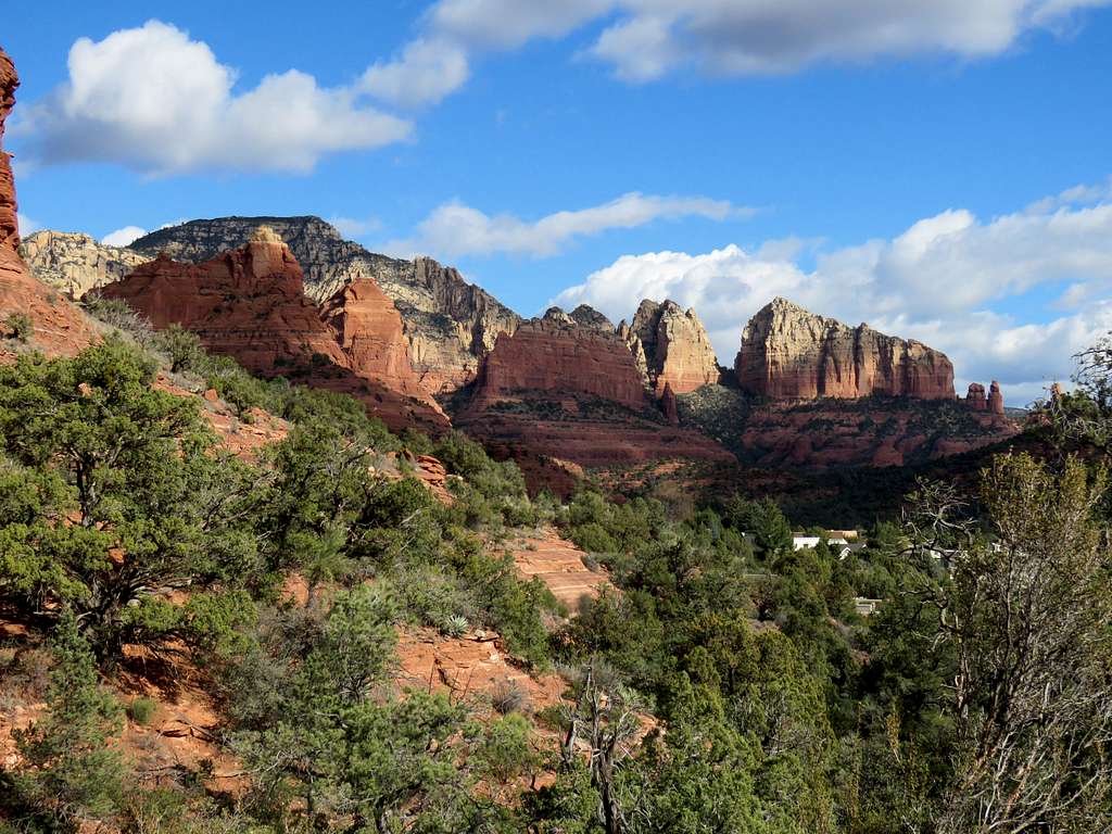
Looking toward Boynton Canyon.
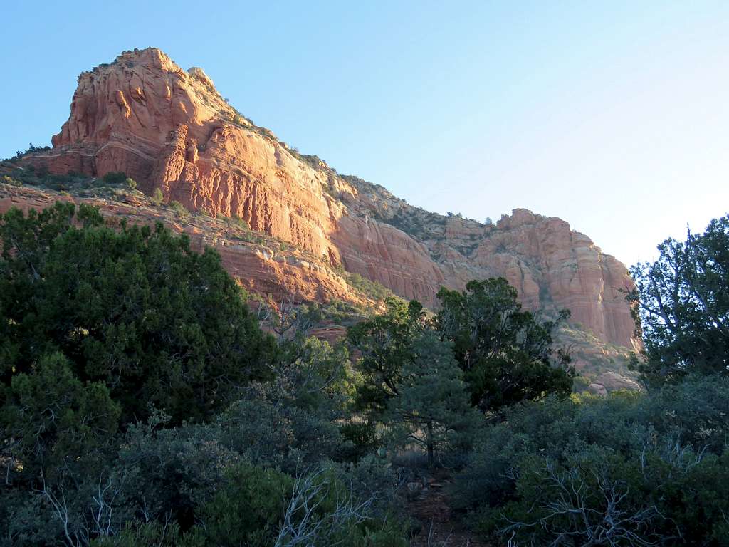
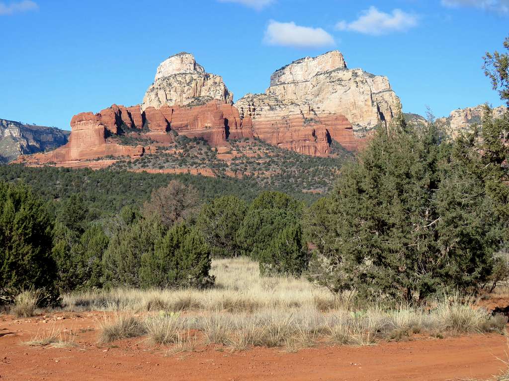
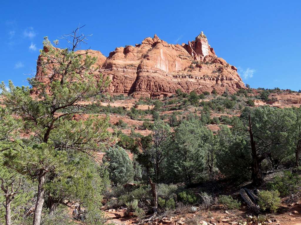
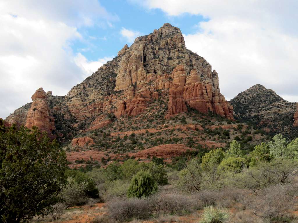
The path That I took went up the slopes of Capitol Butte 200 ft above town.
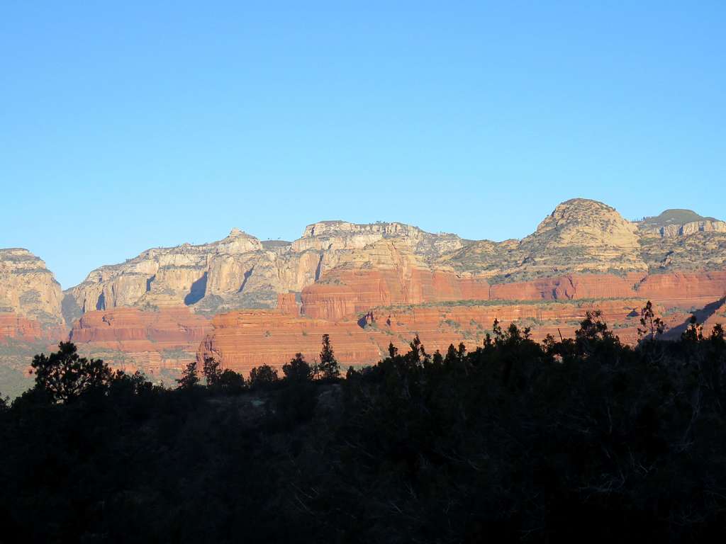
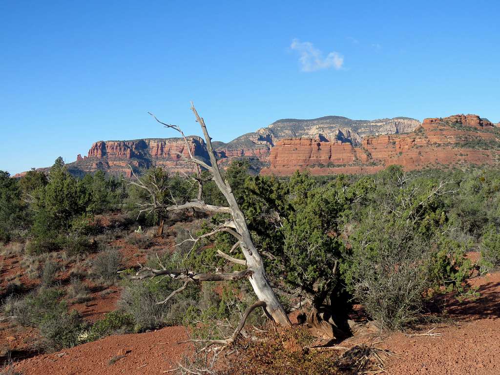
The trail then came down getting close to Dry Creek Road. Looking back at where the trail was below the walls of Capitol Butte.
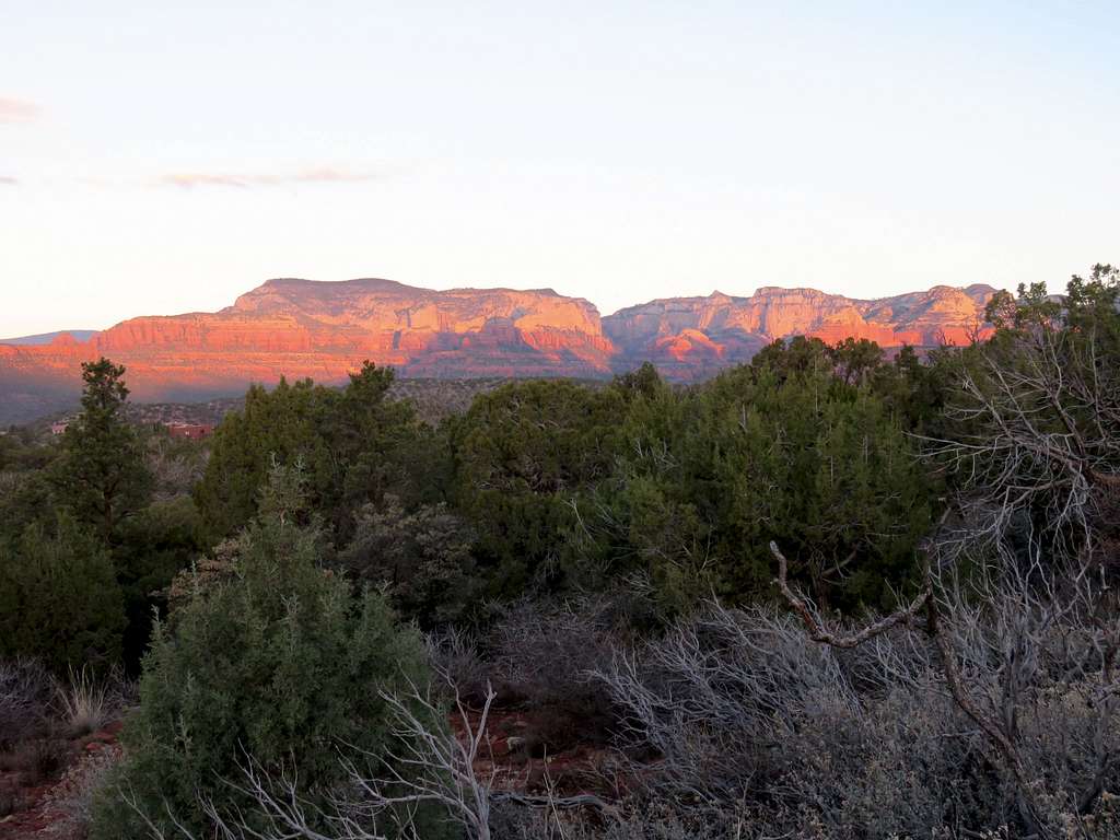
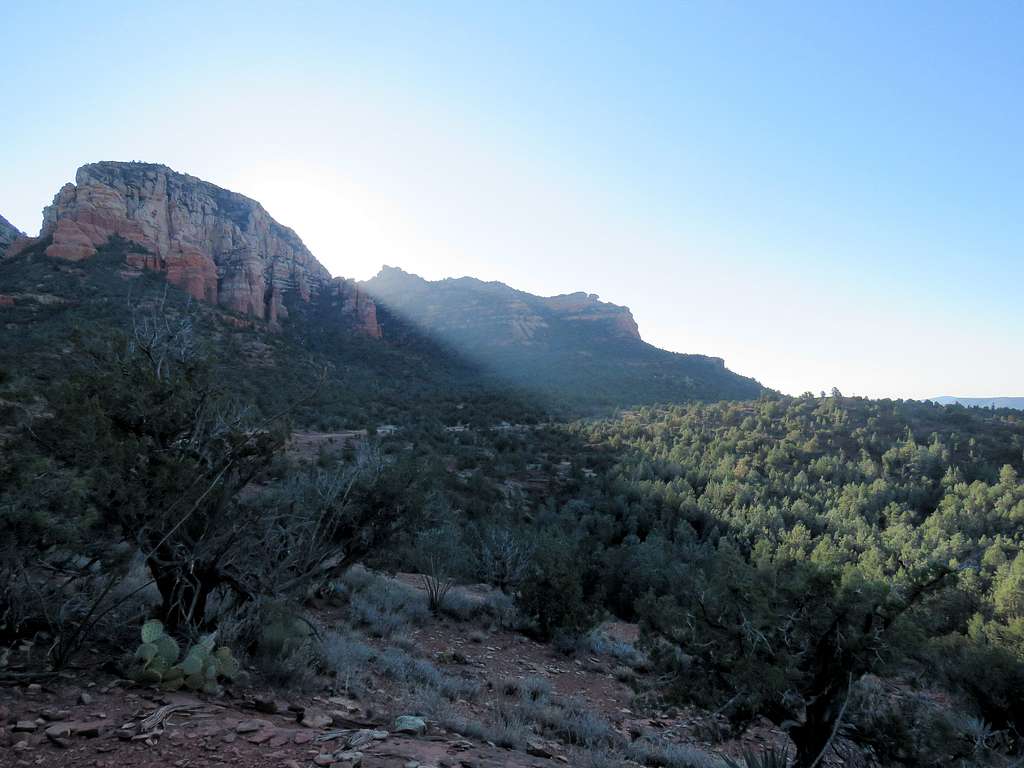
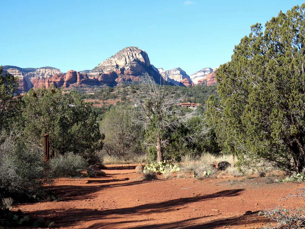
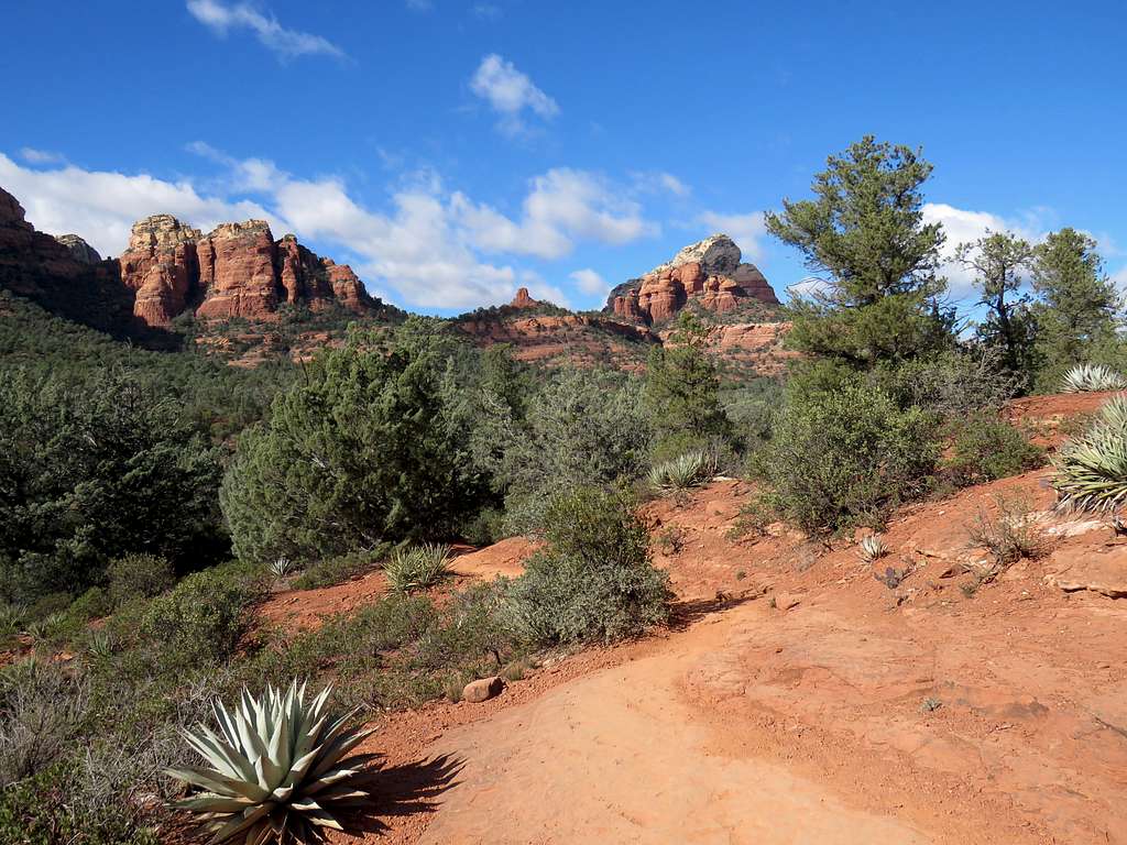
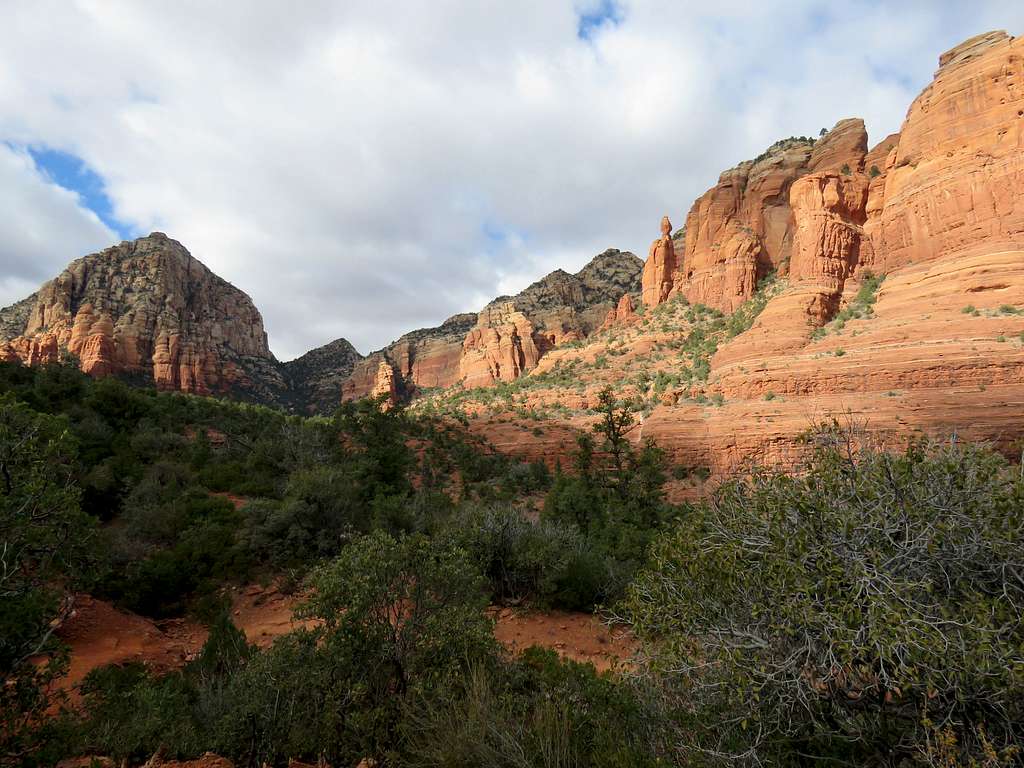
For a short time the trail (Lizard Head Trail) goes parallel to Dry Creek Road. Looking northwest toward Boynton and Long Canyons.
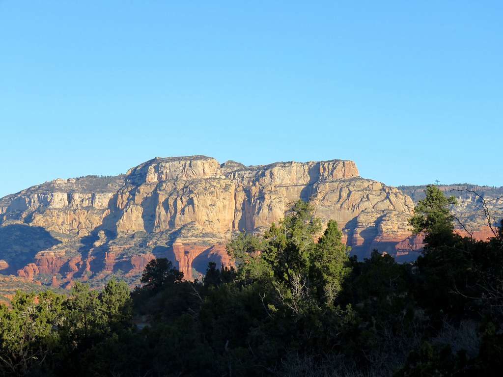
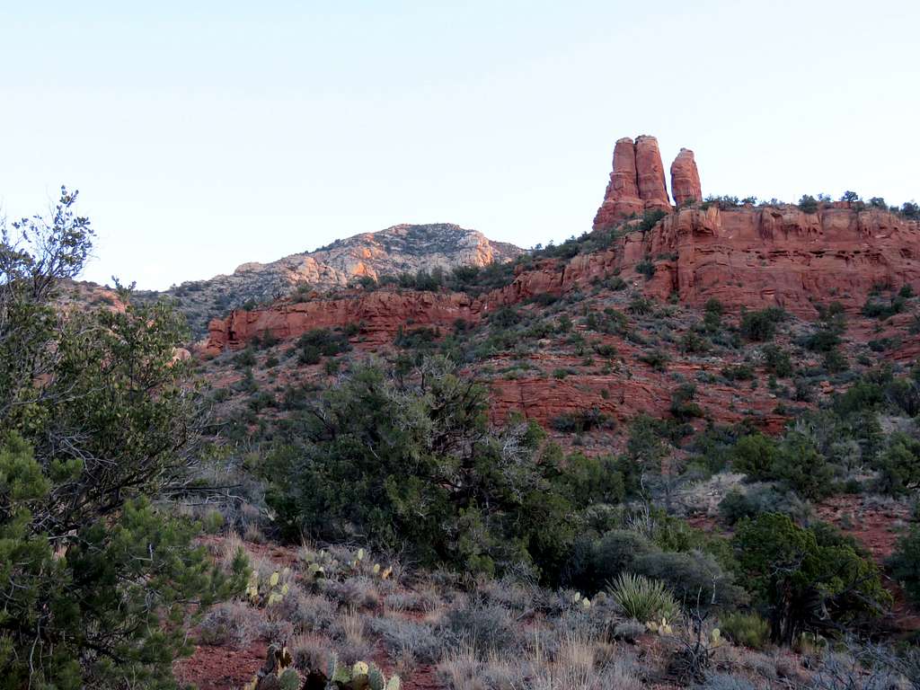
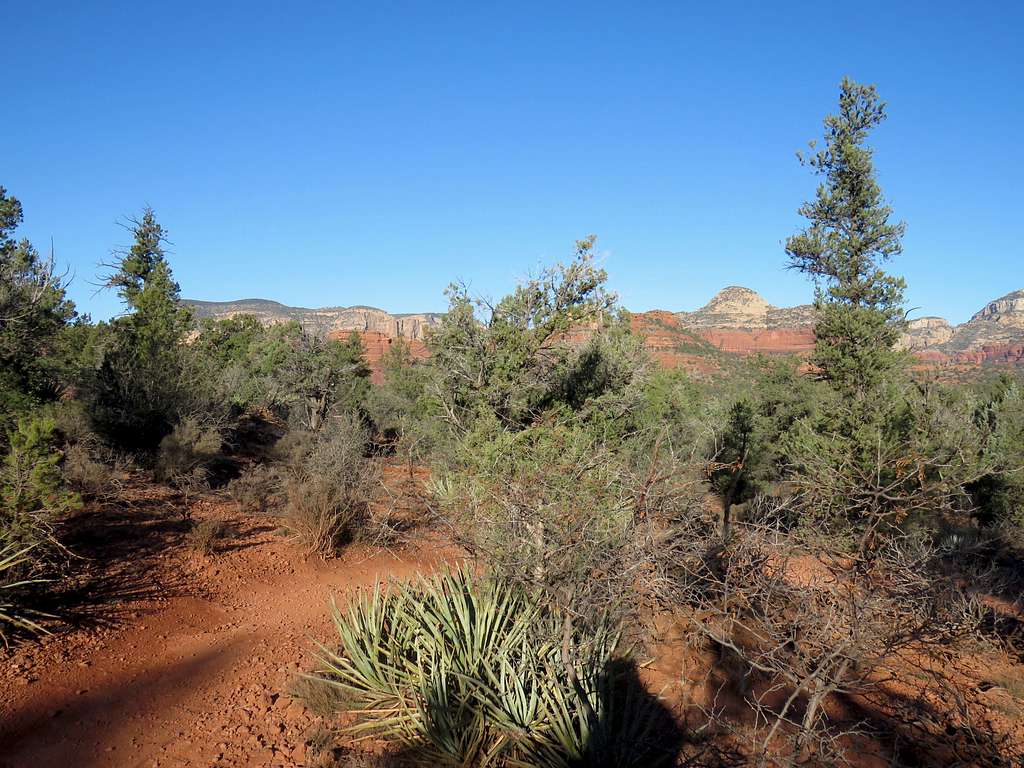
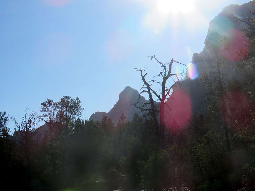
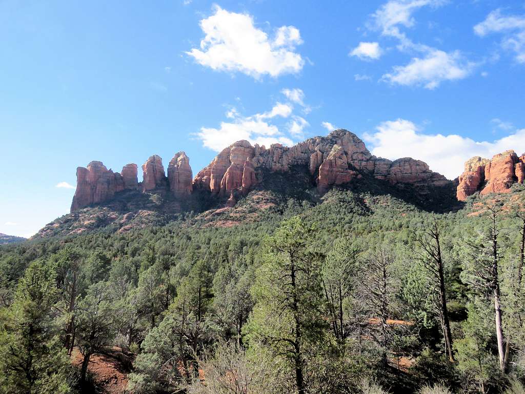
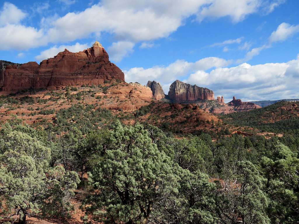
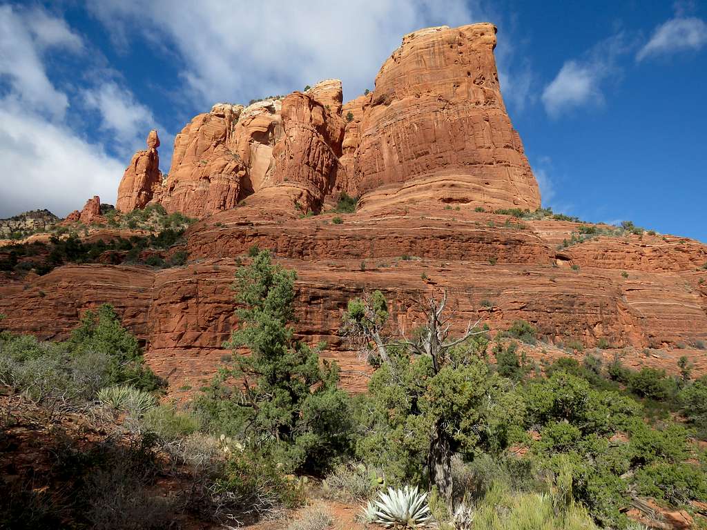
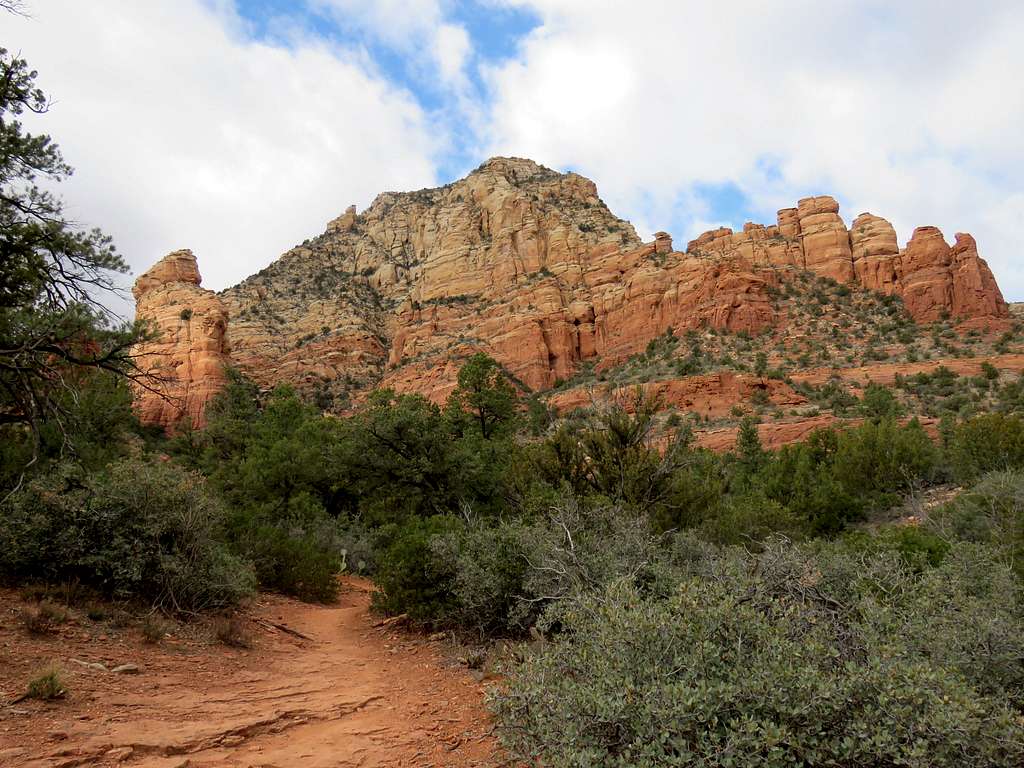
You will pass Vultee Arch Road and get on Chuck Wagon Trail. Looking back toward Capitol Butte.
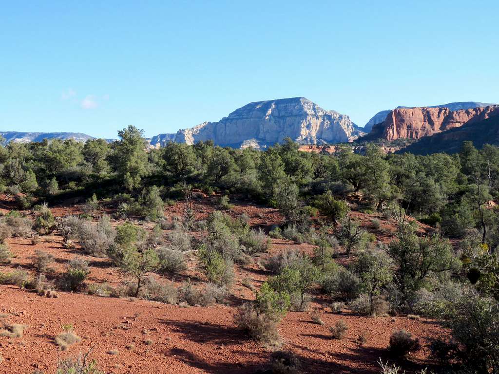
Good views from the trail.
You will then reach the junction with a spur trail to Devils Bridge. Going to the bridge and back will add more than 2 miles to the hike. I did not do that and continued on Chuck Wagon Trail.
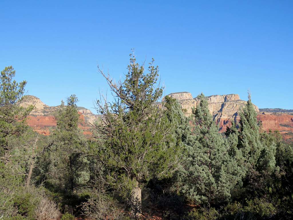
The trail crosses Vultee Arch Road again and reaches Brins Mesa Trailhead.
You can then get on Brins Mesa Trail heading southeast uphill in a forest with no views to reach Soldier Pass where you can get on Soldier Pass Trail
Get on Soldier Pass Trail and follow it south.
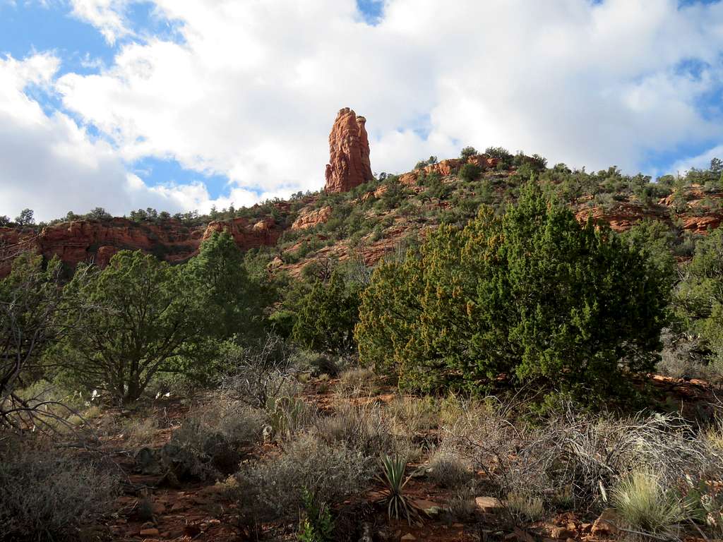
You can then find your way to Teacup Trail going under the formation known as coffeepot.
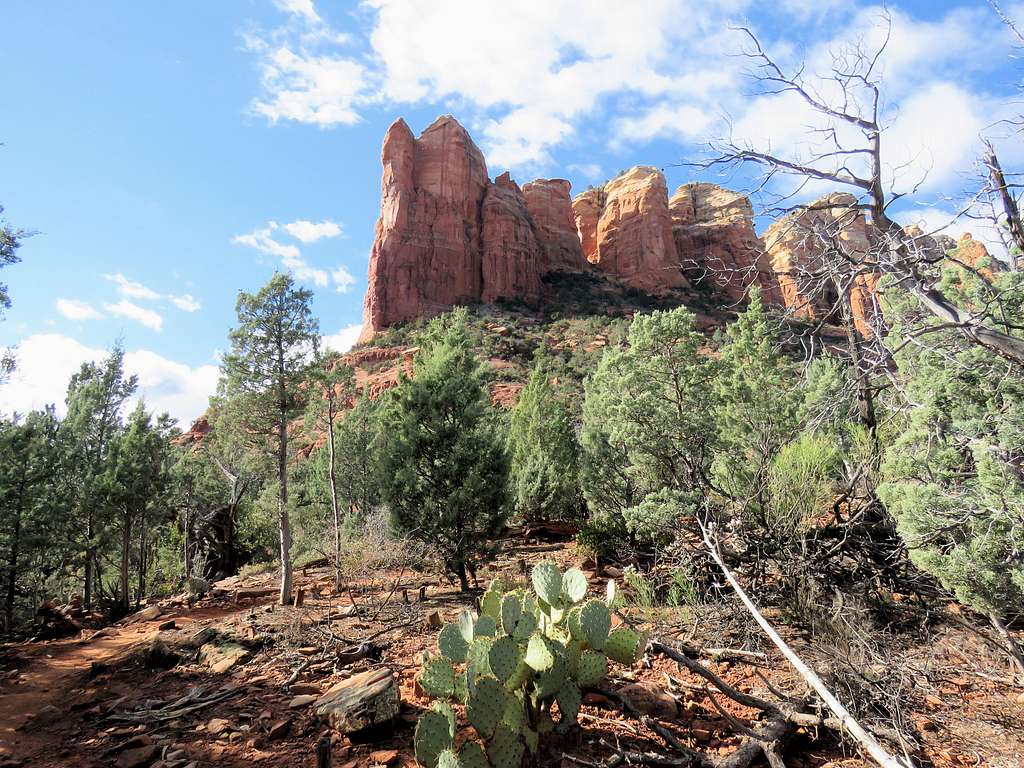
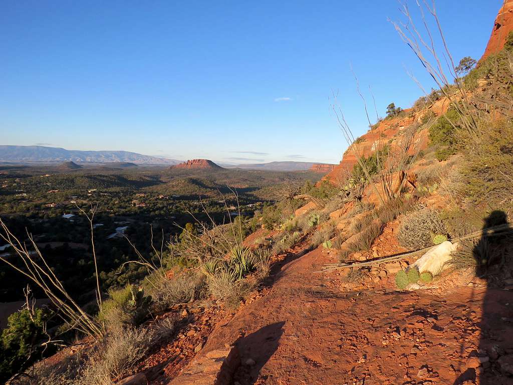
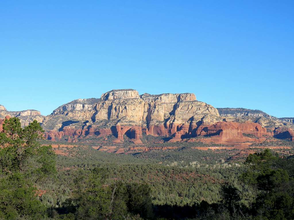
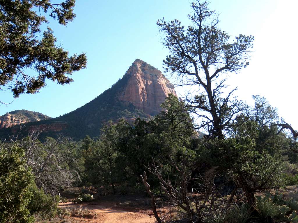
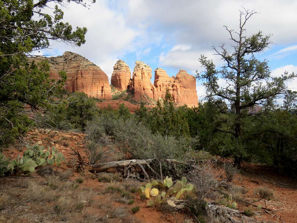
Heading back toward Thunder Mountain Trailhead with good views of Capitol Butte and Sedona.
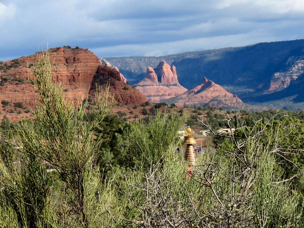
Amitabha Stupa and Peace Park near Thunder Mountain Trailhead.
Essential Gear
Hiking equipment.