
|
|
Route |
|---|---|
|
|
34.93638°N / 111.74658°W |
|
|
Hiking |
|
|
Spring, Summer, Fall, Winter |
|
|
Half a day |
|
|
Hike |
|
|
Overview
Sterling Pass is a small opening in a long line of walls that rise to the north of Wilson Mountain near Sedona, AZ. A trail starts on Route 89A and heads west going up a steep slope to reach Sterling Pass. The trail then descends into Sterling Canyon and continues west until it ends at the Dry Creek Road Trailhead. Along the way, the trail gives you magnificent views of colorful walls in every direction. A short spur trail takes you to the nearby Vultee Arch. Map |
Getting There
Route 89A TrailheadFrom the intersection of Routes 89A and 179 in Sedona (The “Y”) drive roughly 6 miles north on Route 89A to near Manzanita Campground. You will not see any road signs for Sterling Pass Trail but if you look carefully, you can see a trail and a 2 foot tall sign that identifies the trail on the west side of the road. There is no official trailhead parking. You will find a small pull-off area large enough for 2-3 cars a short distance to the south of the trailhead. The GPS locations for where I parked are: 34, 56.183 N & 111, 44.795 W.
Dry Creek Road
I have not been on this road. It can be accessed from the western parts of Sedona. It is said to be a very rough dirt road. When I asked the local ranger, I was told that although some people drive their regular cars on this road, they do not recommend going on the road without 4 wheel drive.
Route Description
All distances are per my GPS.At the trailhead, you will see a dry waterfall. The trail goes on the south side of the dry fall and begins to go up the slope steeply.
 Dry Waterfall |
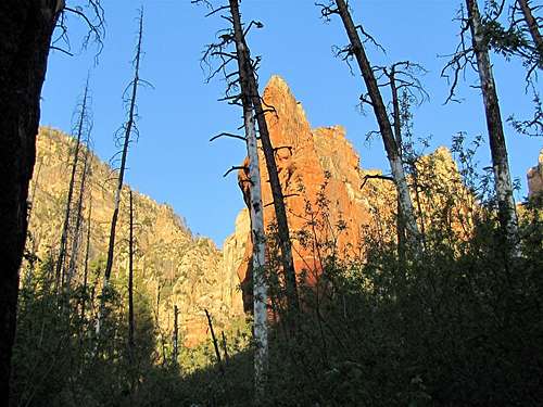
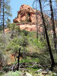
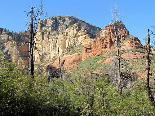
You will soon find yourself surrounded by big walls. Much of the pine forest in this area has burned in the wildfires of 2006.
 | ||
 |  |  |
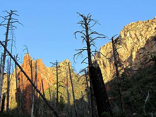 | ||
You might wonder how the trail could possibly climb the walls. You will, however, soon see Sterling Pass as an opening in the walls.
 Sterling Pass |
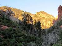
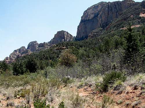
The trail goes on a steep slope and makes many switchbacks to reach Sterling Pass. You will continue to find yourself surrounded by big walls. Parts of Oak Creek Canyon (where Route 89A runs) will also be visible.
 Wilson Mountain |  Wilson Mountain |
 Oak Creek Canyon | |
 |
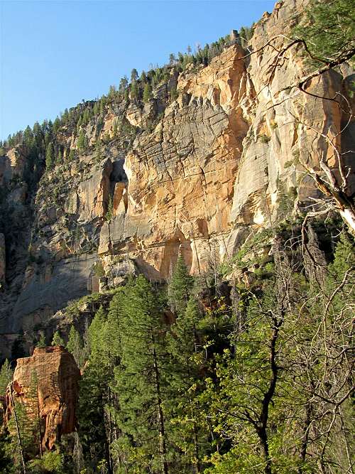
West of Sterling Pass, the trail makes many switchbacks and goes down to the bottom of Sterling Canyon.
 |  |
Red colored rocky formations appear on the north side of the canyon.
 | 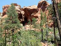 |  |
You will then reach the junction with the spur trail to Vultee Arch. If you pay attention, you can actually see the arch on the north side of the main trail from a spot just before (to the east) of the spur trail junction.
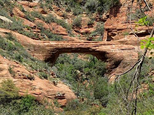 Vultee Arch |
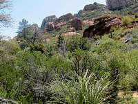
Continuing down the main trail at the bottom of Sterling Canyon, you will have great views of the walls of Wilson Mountain, Lost Wilson Mountain and Secret Mountain. The trail ends at the Dry Creek Road Trailhead (where you will find trailheads for Dry Creek and Bear Sign Canyon Trails).
 Secret Mountain | ||
 |  |  |
 Lost Wilson Mountain | ||
 | ||
Essential Gear
Hiking equipment.Weather
See the forecast for the town of Sedona, AZ.Red Tape
You will need a Red Rock Parking Pass. See the link below:http://www.redrockcountry.org/passes-and-permits/where-to-purchase.shtml