
-
 17031 Hits
-
 83.69% Score
-
 17 Votes
|
|
Mountain/Rock |
|---|---|
|
|
45.07200°N / 109.399°W |
|
|
8788 ft / 2679 m |
|
|
-
Overview
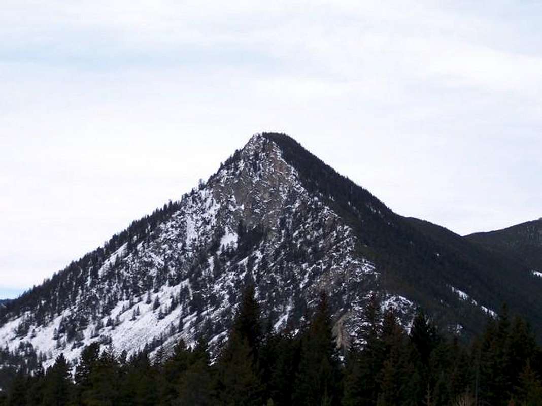
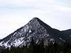
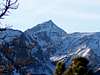
Black Pyramid Mountain is by no means one of the highest peaks in Montana's Beartooth Mountains. Nonetheless, it stands in a commanding position overlooking the Beartooth Highway (US 212) between Red Lodge and Yellowstone National park, and is one of the first true peaks that you encounter as you are travelling South.
Black Pyramid is really just a high point on the end of one arm of the massive hellroaring plateau, which extends for 7 miles to the WSW. At the top of the Hellroaring plateau stands Mount Rearguard, one of Montana's 12000 foot peaks .
Black Pyramid is easily climbed from any one of the popular National Forest Service campgrounds along Rock Creek road on the south side of Black Pyramid's west ridge. The peak has special meaning for me, as it was my "first mountain", one that I climbed with my father when I was 5 or 6 years old. Returning 20 some years later I found that the "great climb" of my youth was really nothing more than a steep scree slog which was easily accomplished within a couple of hours. The view, however, was no less rewarding than I had remembered.
 |  |  |  |
Getting There
This is one of the easiest peaks to find in the Beartooth Mountains. From the south side of Red Lodge, Montana, follow highway 212 South for approximately 13 miles to Rock Creek Road. You will have noticed Black Pyramid Mountain by this point.
Park at any one of the popular National Forest Service Campgrounds located here, and hike up the (recently burned) South facing slopes of Black Pyramid's West Ridge. Elevation gain from the nearest campground to the summit is approximately 1650 feet, and the horizontal distance only 3/4 of a mile.
Red Tape
The summit of Black Pyramid Mountain is located on the Custer National Forest Boundary Line (Beartooth Ranger District). No fees are required to climb or camp in the backcountry. You are "requested" to check in with the Beartooth Ranger Station in Red Lodge or call (406) 446-2103 before climbing or camping in the back country (although most people do not bother). You must have a permit to cut live trees for firewood. No mechanized vehicles are allowed offroad in the wilderness area.
When To Climb
Black Pyramid can be climbed year round. Highway 212 is generally closed in the Winter a couple of miles south of Rock Creek Road, but remains open year-round from the North.
You are "requested" to check in with the Beartooth Ranger Station in Red Lodge or call (406) 446-2103 before climbing or camping in the back country (although most people do not bother). You must have a permit to cut live trees for firewood.
Camping
Several National Forest Service campgrounds exist along the Rock Creek Road. These are popular in the summer with the campground types, and I believe you probably have to pay a fee to stay there. As a cheap (ie. free) alternative, continue driving up the Rock Creek Road for a couple of miles past the end of the paved section. You will find a nice selection of "backcountry" car camping spots for which there is no charge.
Mountain Conditions
Contact the Beartooth Ranger Station at (406) 446-2103 for the latest mountain conditions.
red_lodge.MT Conditions and Forecast
red_lodge.MT Weather Conditions and Forecast
Miscellaneous Info
The USGS incorrectly lists the height of this peak as 8608 feet.