-
 88789 Hits
-
 95.67% Score
-
 54 Votes
|
|
Mountain/Rock |
|---|---|
|
|
45.88965°N / 114.2981°W |
|
|
Ravalli |
|
|
Hiking, Scrambling, Skiing |
|
|
Spring, Summer, Fall, Winter |
|
|
10157 ft / 3096 m |
|
|
Overview
Latitude & Longitude – 45.88989 N / 114.29685 W
Elevation – 10,157'
Route Types – Scrambles
Class Levels – Class 2, 3, or 4
Length of Time Required to Complete the Routes – Partial to Multiple Days
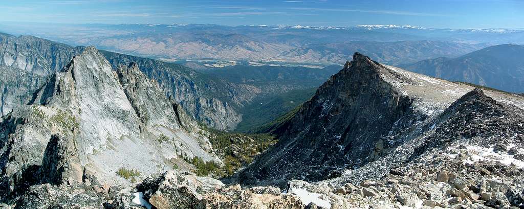
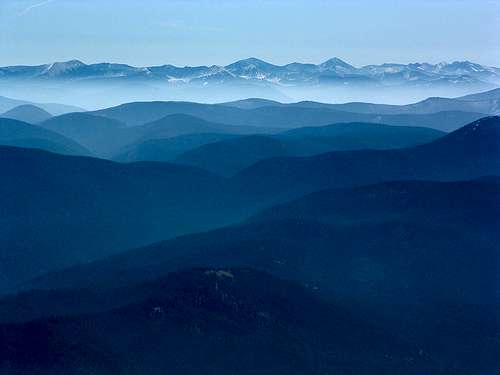
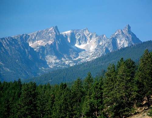
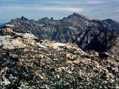
Trapper Peak, at 10,157' the highest of the Bitterroot Mountains, is 11.7 miles (as the crow flies) south-southwest of Darby, Montana. The highest point on the massive east-west ridge between Trapper Creek to the north and Boulder Creek to the south, this summit is probably the most well-known mountain in the Bitterroot Mountains, if for no other reason, simply because it has the highest summit. Trapper and the other highpoints on this immense ridge dominate the western horizon from the small town of Darby, Montana, to Connor, an even smaller burg several miles to the south.
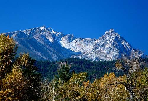
Though most people stop at the Trapper Peak point-of-interest sign beside Highway 93 a couple of miles south of Darby to take in the view, a better viewpoint is along the highway just a couple of miles farther south (closer to Connor).
How the peak and the creek just to its north received the name Trapper is a matter of conjecture. Most believe the name stuck because the area around the peak and creek was used extensively by trappers back when trapping was one of the few possible ways to make a living in this area of the west. Unfortunately, no one knows for sure.
Trapper Peak is one of the three most-climbed Bitterroot Mountains, the other two being Saint Mary Peak and Lolo Peak. Lolo Peak is often climbed because it is located conveniently close to the sizable population of Missoula, Montana. People like Saint Mary Peak because it has a high trailhead, one of the shortest trails, and a fire lookout tower on the summit. Most of those who attempt to reach Trapper's summit do so simply because it is the highest of the Bitterroot Mountains. Most who try succeed.
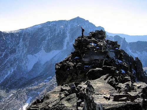
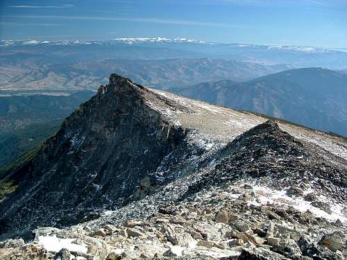
Trapper is not a hard mountain to climb. In fact, the "standard" route is no more difficult than Class 2. Granted, some people may require the use of hands to retain their balance while crossing the boulders and talus near the summit, but it hardly raises the level of difficulty to Class 3.
Getting There
There are three trailheads from which the summit of Trapper Peak can be reached.
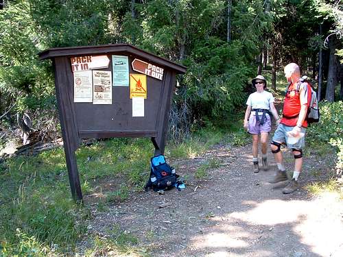
Trapper Peak Trailhead – elevation 6,382'
The Standard Route (trail 133)
Baker Lake Trailhead – elevation 6,817'
Baker Lake Ridge Route
Baker Lake Gully Route
Gem Lake Gully Route
Northeast Couloir Route
Trapper Creak Trailhead – elevation 4,592'
Northeast Couloir Route
The trailhead you choose should be based on your choice of route and how much elevation gain you desire. If you decide to begin your climb from the Trapper Creek Trailhead, besides the additional elevation gain required to reach the summit, be prepared for extreme bushwhacking and serious route finding up the very steep slopes below the cirque on Trapper's northeast side.
Area Restrictions (Red tape)
The entire area around the summit of Trapper Peak is in officially designated Wilderness. Wilderness rules and regulations apply.
Camping
Some climbers car camp right at the trailhead for the standard route. Along the standard route there is no water available, so no "perfect" places to camp exist. There are a few "tolerable" spots a couple of miles from the trailhead (grassy areas in open forest) – still no water.
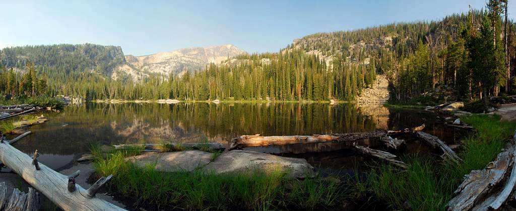
The best camping spots while climbing Trapper Peak are in the areas around Baker and Gem Lakes. Which of the two you pick will depend upon the route you plan to use reaching the summit.

Those who ski on Trapper during winter and spring, have been known to snow camp right at tree line on the standard route. Not being one of those adventurous souls, I can't speak for the advisability of doing such a thing; however an acquaintance who has done so more than once, claims it often gets windy up there - very windy.
Routes
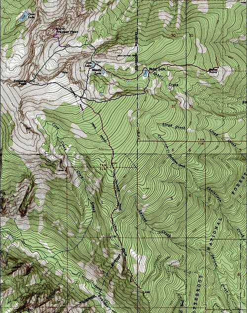
There are five routes (here on SummitPost) which can be used to reach the summit of Trapper Peak
–The Standard Route (trail 133),
The Baker Lake Ridge Route, both Class 2
–The Gem Lake Gully Route,
The Baker Lake Gully Route, both Class 3
–The Northeast Couloir Route,
Class 4 and usually done as a snow climb.
When To Go
Trapper Peak's summit is visited during every month of the year, though most peak baggers visit when there is little or no snow on the ground. When snow is present on the access roads during winter and early spring, it is not possible to drive all the way to the higher trailheads (Standard Route TH and Baker Lake TH), considerably lengthening the routes to the summit.
In spite of the lengthened routes, Trapper is a popular winter destination for backcountry skiers who most often use some variation of the Standard Route to reach the summit area. Because the Standard Route mostly follows a ridge-crest until it reaches the open and wind-swept area around the summit, there is little if any exposure to avalanche.
Essential gear
At the very least, sturdy shoes or boots are strongly suggested. All of the routes require boulder hopping, so make sure your footwear is sturdy.
If climbing on snow, you're likely to want snowshoes or skis. Climbing the Baker Lake Gully, Gem Lake Gully, or the Northeast Couloir (on snow) will usually require the use of crampons and an ice axe.
Additional Pictures


walkswithgoats - Aug 11, 2015 2:00 pm - Hasn't voted
correctionTrapper Peak is SW of Darby . . . not SSE as you say in the intro paragraph. Thanks.
Michael Hoyt - Aug 11, 2015 6:07 pm - Hasn't voted
Re: correctionThanks for notifying me of the correction. The description now says "south-southwest" as it should